A' Bhainlir
Hill, Mountain in Ross-shire
Scotland
A' Bhainlir
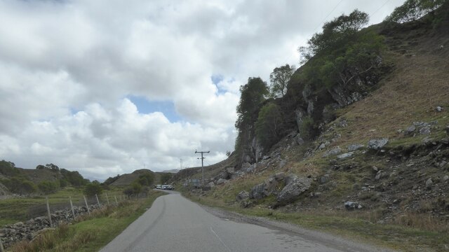
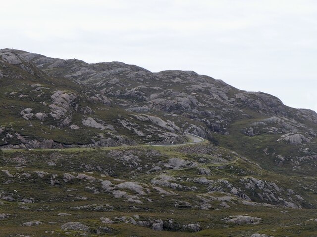
A' Bhainlir is a prominent hill located in Ross-shire, Scotland. With an elevation of approximately 614 meters (2,014 feet), it is considered a significant landmark in the region. The hill is situated within the Scottish Highlands, offering breathtaking panoramic views of the surrounding landscape.
A' Bhainlir is known for its rugged and rocky terrain, making it a popular destination for hikers and mountaineers seeking a challenging climb. The ascent to the summit can be quite strenuous, requiring a moderate level of fitness and experience in hillwalking. However, the rewarding views from the top make the effort worthwhile.
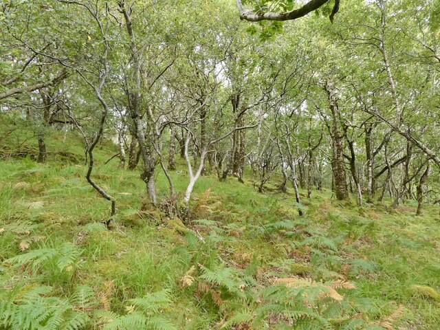
The hill is covered in heather and grass, providing a habitat for various plant species and wildlife. It is not uncommon to spot birds of prey soaring overhead or catch a glimpse of deer roaming the lower slopes.
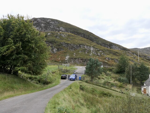
A' Bhainlir is accessible via a well-defined path, and there are several routes to choose from depending on the level of difficulty desired. The most popular route starts from the nearby village of Achnasheen, offering a gradual ascent with stunning views of Loch Carron and the surrounding mountains.
The hill is steeped in history and folklore, with tales of ancient battles and mythical creatures associated with the area. It is a place of natural beauty and tranquility, attracting both nature enthusiasts and those seeking a peaceful retreat in the heart of the Scottish Highlands.
If you have any feedback on the listing, please let us know in the comments section below.
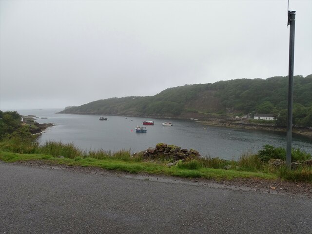
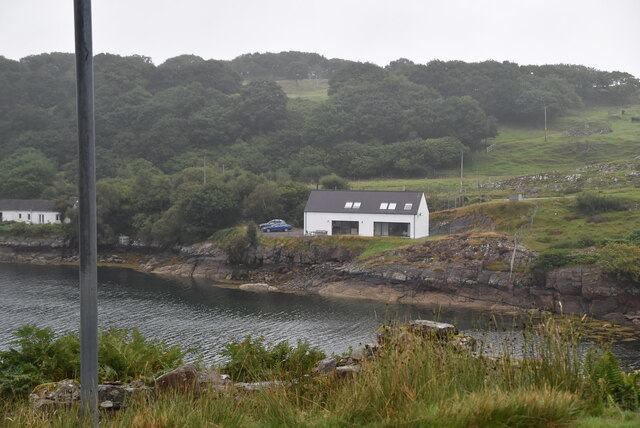
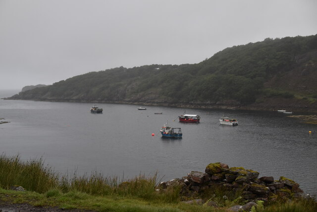
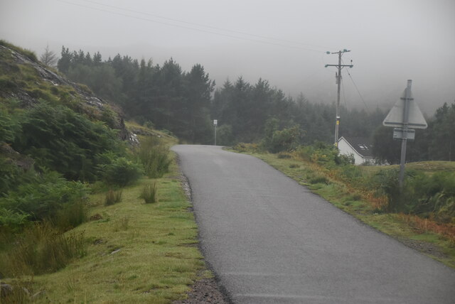
A' Bhainlir Images
Images are sourced within 2km of 57.542162/-5.731439 or Grid Reference NG7656. Thanks to Geograph Open Source API. All images are credited.
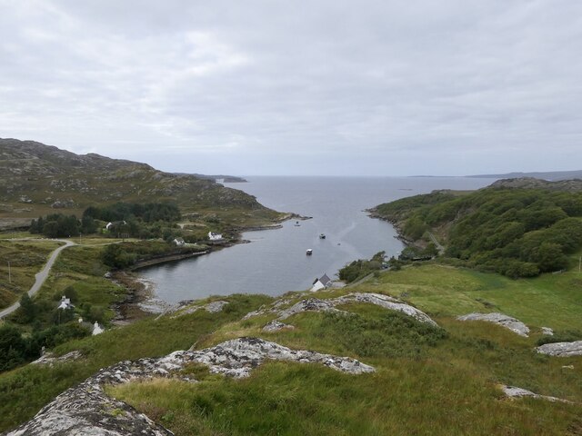
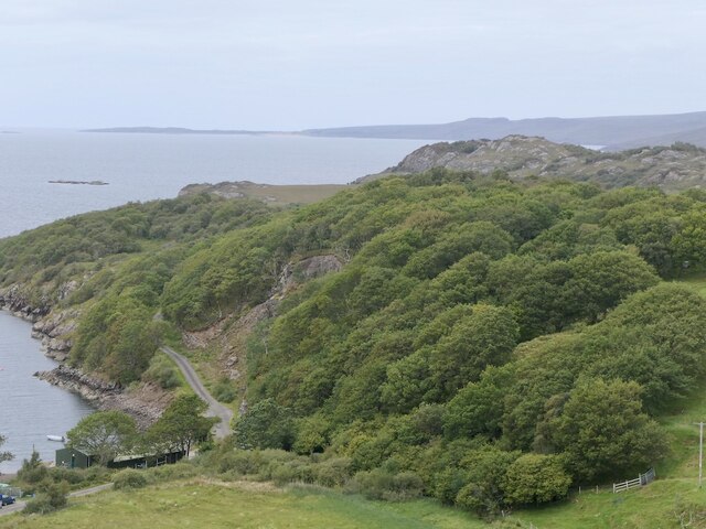
![Shed and boat, Kenmore Rusty 'tin' structures are common in the western Highlands and seem to add something to the scene, which here extends across the wooded headland to the distant slopes of Sgurr Mhor [left] and Tom na Gruagaich [right] which form the twin summits and Munros of Beinn Alligin.](https://s3.geograph.org.uk/geophotos/07/49/56/7495659_328ed684.jpg)
A' Bhainlir is located at Grid Ref: NG7656 (Lat: 57.542162, Lng: -5.731439)
Unitary Authority: Highland
Police Authority: Highlands and Islands
What 3 Words
///bulbs.exotic.resist. Near Gairloch, Highland
Nearby Locations
Related Wikis
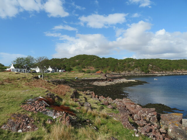
Ardheslaig
Ardheslaig (Scottish Gaelic: Àird Heisleag) is a crofting settlement at the northern end of the Applecross peninsula in the Scottish Highlands. It is 3...

Loch Torridon
Loch Torridon (Scottish Gaelic: Loch Thoirbheartan) is a sea loch on the west coast of Scotland in the Northwest Highlands. The loch was created by glacial...
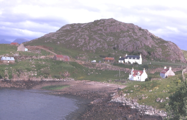
Diabaig
Diabaig (Scottish Gaelic: Dìobaig) is a remote coastal fishing and crofting township in Wester Ross, in the Northwest Highlands of Scotland. Diabaig lies...
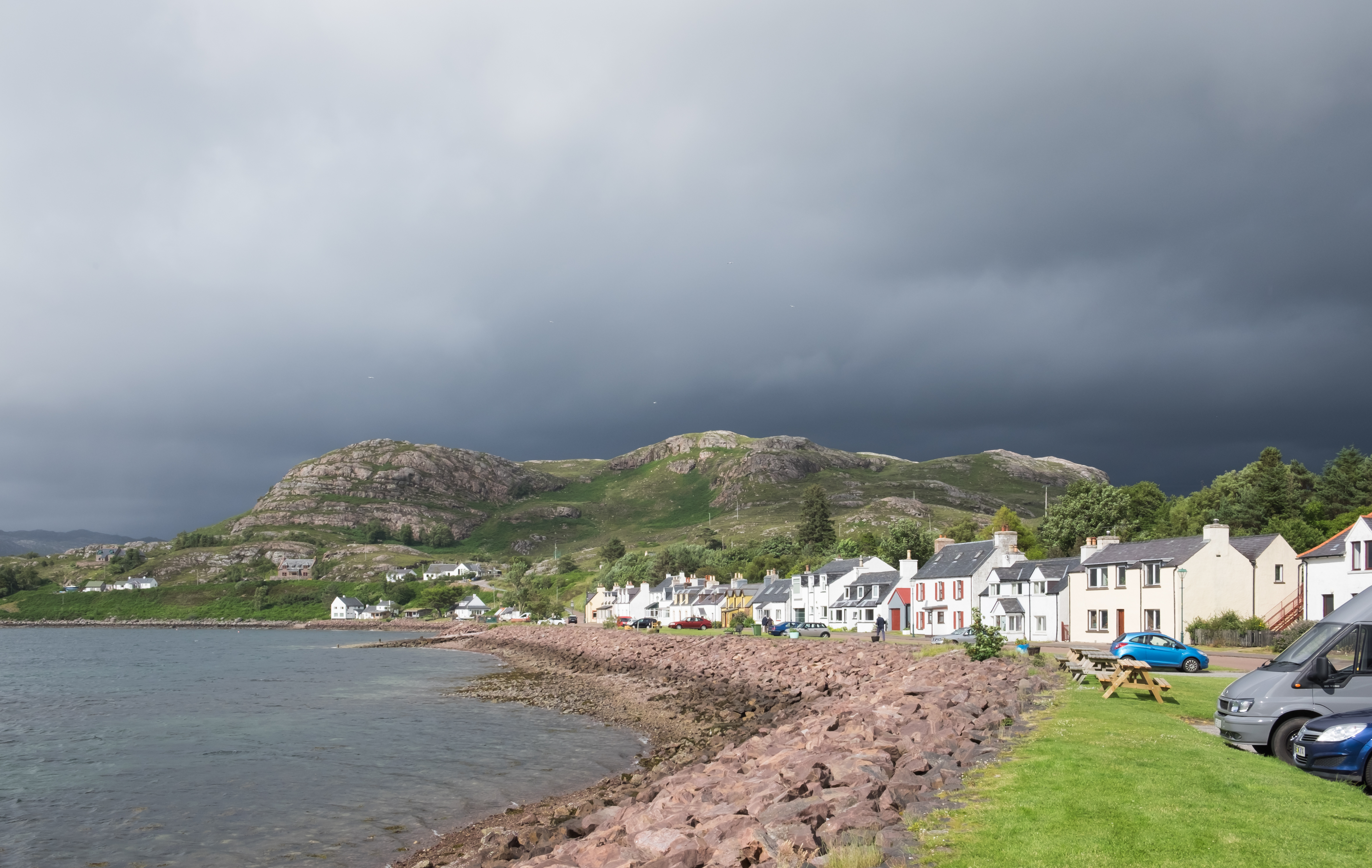
Shieldaig
Shieldaig (Scottish Gaelic: Sìldeag; Old Norse: síld-vík, lit. 'herring bay') is a village in Wester Ross in the Northwest Highlands, in the Scottish council...

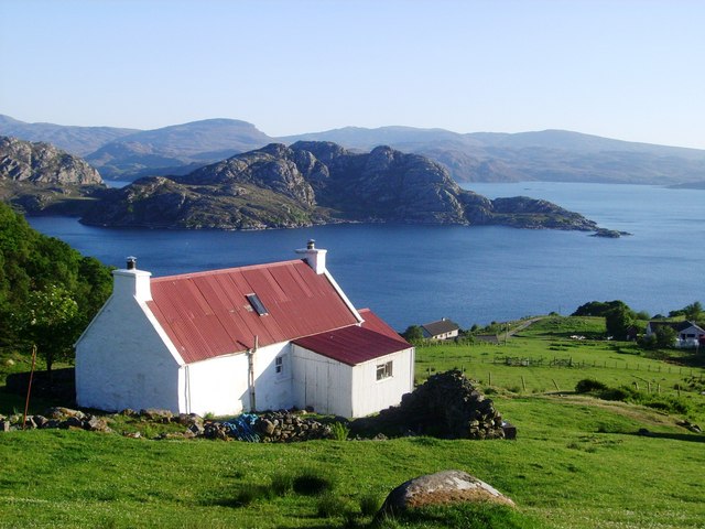
Inveralligin
Inveralligin (Scottish Gaelic: Inbhir Àiliginn) is a remote crofting township which lies on the north shore of Loch Torridon in Wester Ross and is in the...
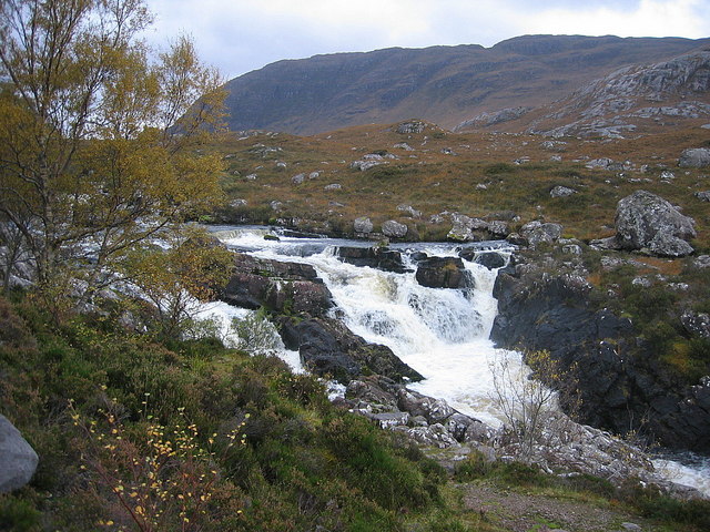
Falls of Balgy
Falls of Balgy is a waterfall near Torridon in Scotland. == See also == Waterfalls of Scotland == References ==
Nearby Amenities
Located within 500m of 57.542162,-5.731439Have you been to A' Bhainlir?
Leave your review of A' Bhainlir below (or comments, questions and feedback).