Given Dale
Valley in Yorkshire
England
Given Dale
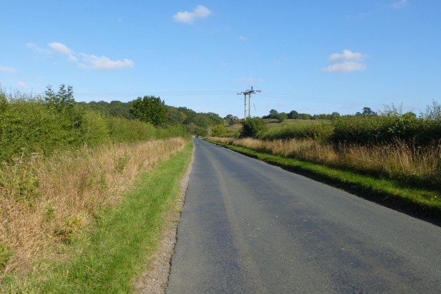
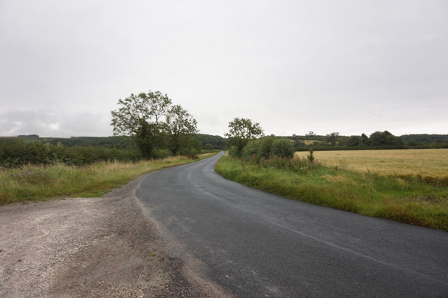
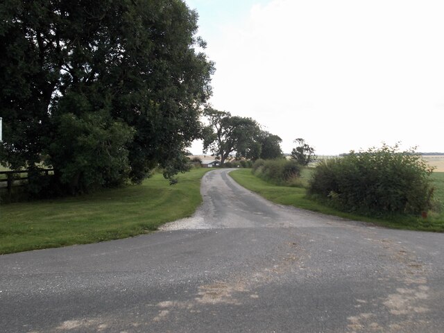
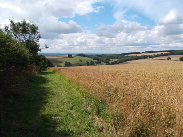
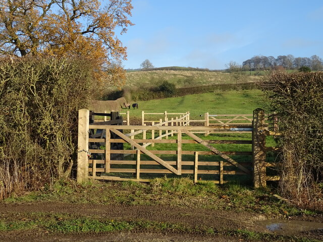
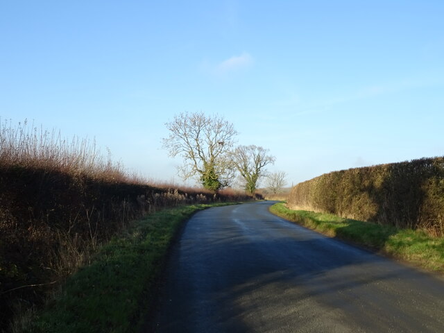
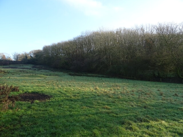
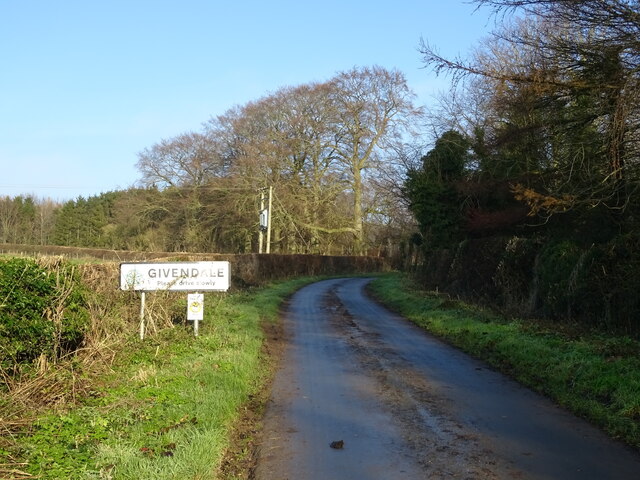
Given Dale is a picturesque valley located in Yorkshire, England. Nestled amidst rolling hills and surrounded by lush greenery, it is a haven for nature lovers and outdoor enthusiasts. The valley is renowned for its breathtaking landscapes, offering a tranquil and idyllic setting for visitors.
The main feature of Given Dale is its meandering river, which flows through the heart of the valley. The river is crystal clear, and its gentle current is perfect for activities such as fishing, kayaking, and canoeing. The riverbanks are lined with vibrant wildflowers and provide a peaceful spot for picnicking or simply taking in the scenery.
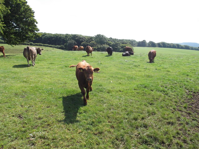
The valley is also home to a diverse range of flora and fauna. Trees such as oak, beech, and ash dominate the landscape, providing a rich habitat for various bird species and woodland creatures. Visitors can spot wildlife such as deer, rabbits, and squirrels, as well as numerous species of birds, including kingfishers and herons.
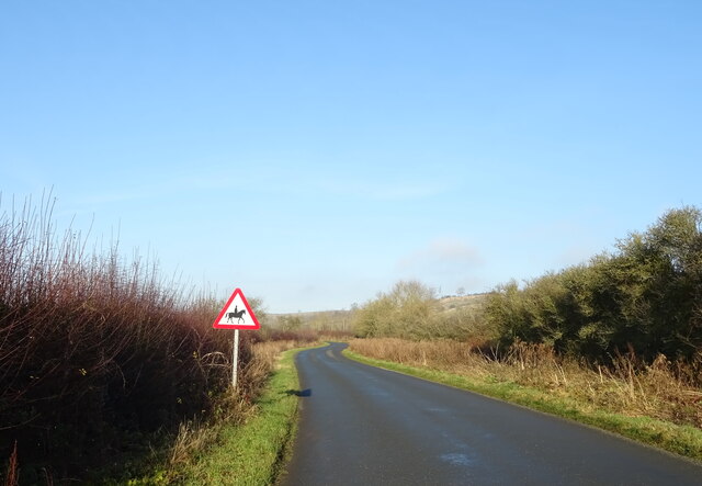
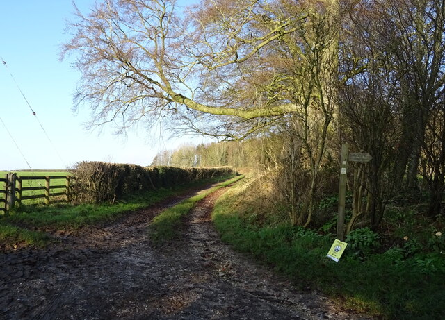
For those who enjoy hiking and walking, Given Dale offers an extensive network of trails and footpaths. The paths meander through woodlands, meadows, and open fields, offering stunning views at every turn. The valley is also a popular destination for cyclists, with its scenic routes and challenging terrain.
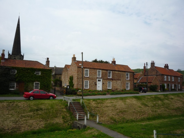
In addition to its natural beauty, Given Dale is rich in history and heritage. The area is dotted with charming villages and historic sites, including ancient churches and manor houses. There are also several traditional pubs and tea rooms where visitors can sample local cuisine and experience the warm hospitality of the Yorkshire locals.
Overall, Given Dale is a truly enchanting destination, offering a perfect blend of natural splendor and cultural charm. Whether you seek outdoor adventures or a peaceful retreat, this valley in Yorkshire is sure to leave a lasting impression.
If you have any feedback on the listing, please let us know in the comments section below.
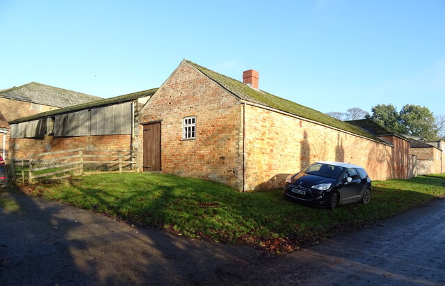
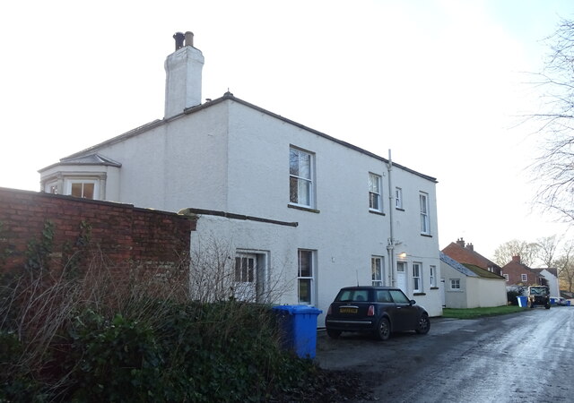
Given Dale Images
Images are sourced within 2km of 53.972128/-0.75388354 or Grid Reference SE8153. Thanks to Geograph Open Source API. All images are credited.
Given Dale is located at Grid Ref: SE8153 (Lat: 53.972128, Lng: -0.75388354)
Division: East Riding
Unitary Authority: East Riding of Yorkshire
Police Authority: Humberside
What 3 Words
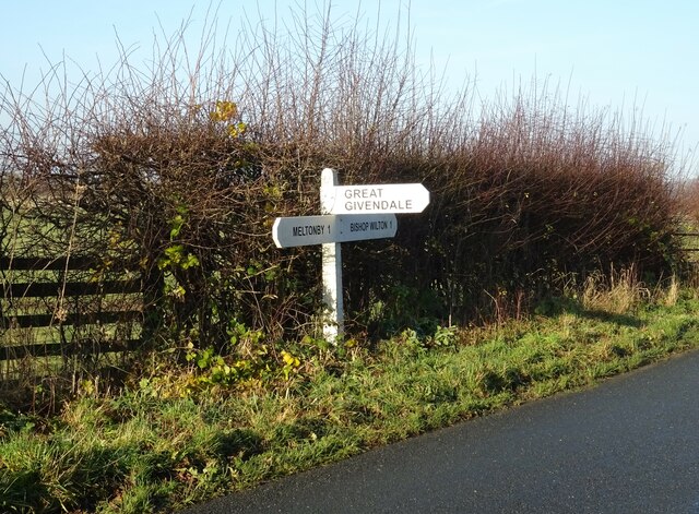
///snatched.eyebrows.riverbed. Near Millington, East Yorkshire
Related Wikis

Beckhead Plantation
Beckhead Plantation is a Site of Special Scientific Interest (SSSI) and nature reserve in the East Riding of Yorkshire, England. It is located close to...

Great Givendale
Great Givendale is a hamlet in the East Riding of Yorkshire, England. It is situated approximately 3 miles (5 km) north of Pocklington. Great Givendale...

Millington, East Riding of Yorkshire
Millington is a small village and civil parish in the East Riding of Yorkshire, England. It is situated approximately 2 miles (3.2 km) north-east of Pocklington...

Ousethorpe
Ousethorpe is a small hamlet in the East Riding of Yorkshire, England. It is situated approximately 1.5 miles (2.4 km) north of Pocklington. It forms part...
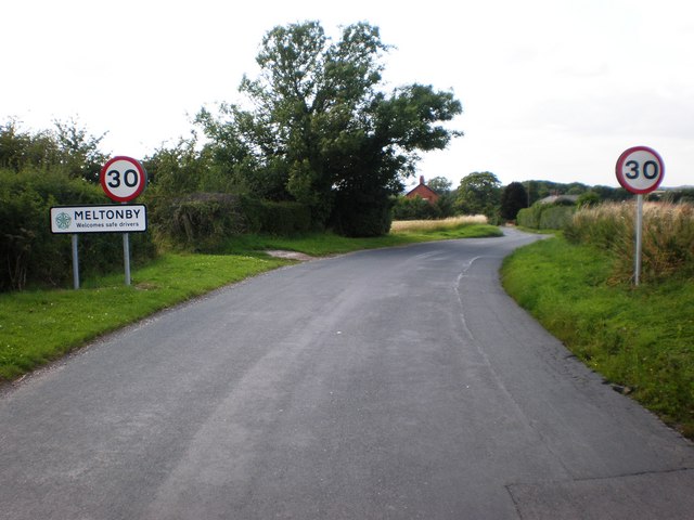
Meltonby
Meltonby is a hamlet in the civil parish of Yapham, in the East Riding of Yorkshire, England. It is situated approximately 2 miles (3.2 km) north of Pocklington...
Bishop Wilton
Bishop Wilton is a small village and civil parish in the East Riding of Yorkshire, England. It is situated approximately 4 miles (6 km) north of Pocklington...

Bishop Wilton Wold
Bishop Wilton Wold is the highest point of the Yorkshire Wolds in the East Riding of Yorkshire, England. The summit, known as Garrowby Hill, lies about...

Yapham
Yapham is a village and civil parish in the East Riding of Yorkshire, Northern England. It is situated about 2 miles (3.2 km) north-east of Pocklington...
Nearby Amenities
Located within 500m of 53.972128,-0.75388354Have you been to Given Dale?
Leave your review of Given Dale below (or comments, questions and feedback).