Castlefield Plantation
Wood, Forest in Yorkshire
England
Castlefield Plantation
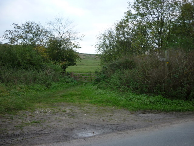
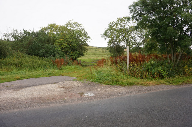
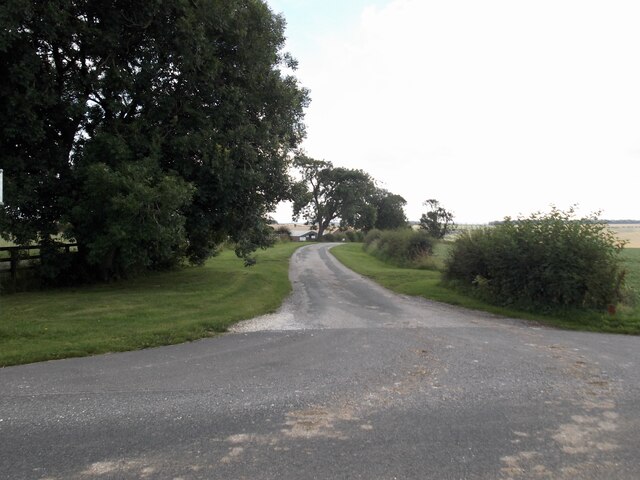
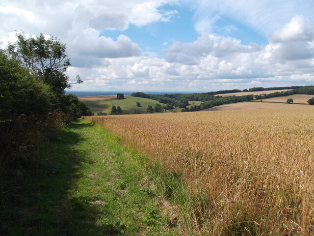
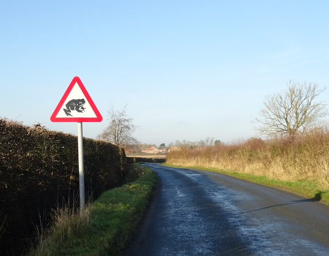
Castlefield Plantation is a picturesque woodland located in Yorkshire, England. Covering an area of approximately 500 acres, this enchanting forest is known for its rich biodiversity and stunning natural beauty. The plantation is nestled within the charming village of Castlefield, providing a tranquil escape for nature lovers and outdoor enthusiasts.
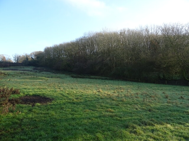
The woodland is predominantly composed of native tree species, such as oak, beech, and birch, which create a diverse and thriving ecosystem. Walking through Castlefield Plantation, visitors are greeted by a lush carpet of ferns, bluebells, and other wildflowers, further enhancing the area's natural allure.
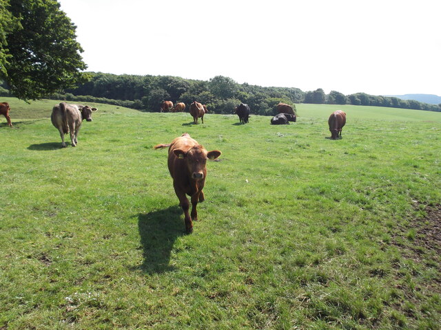
The plantation is home to an array of wildlife, including deer, foxes, and numerous bird species. Birdwatchers can delight in observing woodpeckers, owls, and a variety of songbirds as they flutter through the treetops. The peaceful atmosphere of Castlefield Plantation provides an ideal habitat for these creatures, making it a popular destination for wildlife enthusiasts.
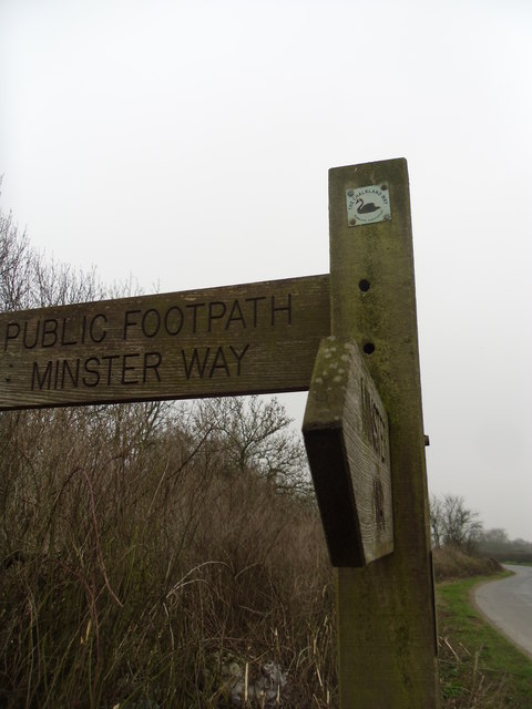
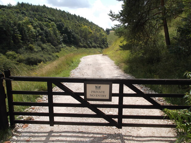
Visitors to Castlefield Plantation can enjoy a network of well-maintained walking trails, allowing them to explore the woodland at their leisure. These trails wind through the forest, offering breathtaking views of the surrounding countryside and providing plenty of opportunities to spot wildlife. Additionally, the plantation features several picnic areas, providing a perfect spot for visitors to relax and enjoy the serenity of the natural surroundings.
Castlefield Plantation is a true haven for nature enthusiasts, offering a tranquil escape from the hustle and bustle of everyday life. With its stunning landscapes, abundant wildlife, and peaceful ambiance, this woodland gem in Yorkshire is a must-visit destination for anyone seeking a connection with nature.
If you have any feedback on the listing, please let us know in the comments section below.
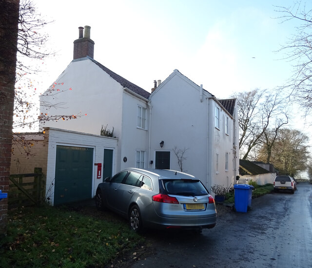
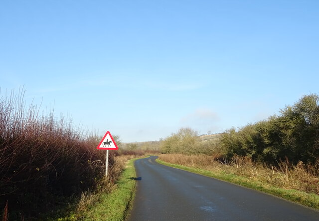
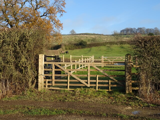
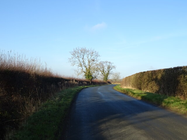
Castlefield Plantation Images
Images are sourced within 2km of 53.973941/-0.75709226 or Grid Reference SE8153. Thanks to Geograph Open Source API. All images are credited.
Castlefield Plantation is located at Grid Ref: SE8153 (Lat: 53.973941, Lng: -0.75709226)
Division: East Riding
Unitary Authority: East Riding of Yorkshire
Police Authority: Humberside
What 3 Words
///indicate.blanking.fields. Near Millington, East Yorkshire
Related Wikis

Beckhead Plantation
Beckhead Plantation is a Site of Special Scientific Interest (SSSI) and nature reserve in the East Riding of Yorkshire, England. It is located close to...

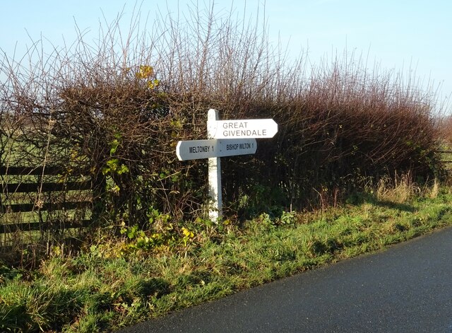
Great Givendale
Great Givendale is a hamlet in the East Riding of Yorkshire, England. It is situated approximately 3 miles (5 km) north of Pocklington. Great Givendale...
Bishop Wilton
Bishop Wilton is a small village and civil parish in the East Riding of Yorkshire, England. It is situated approximately 4 miles (6 km) north of Pocklington...

Ousethorpe
Ousethorpe is a small hamlet in the East Riding of Yorkshire, England. It is situated approximately 1.5 miles (2.4 km) north of Pocklington. It forms part...
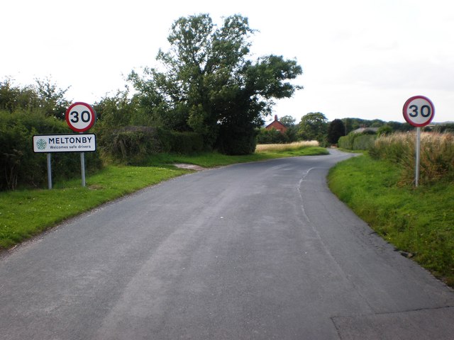
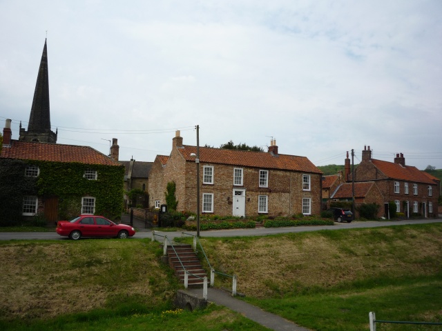
Meltonby
Meltonby is a hamlet in the civil parish of Yapham, in the East Riding of Yorkshire, England. It is situated approximately 2 miles (3.2 km) north of Pocklington...

Millington, East Riding of Yorkshire
Millington is a small village and civil parish in the East Riding of Yorkshire, England. It is situated approximately 2 miles (3.2 km) north-east of Pocklington...

Bishop Wilton Wold
Bishop Wilton Wold is the highest point of the Yorkshire Wolds in the East Riding of Yorkshire, England. The summit, known as Garrowby Hill, lies about...

Yapham
Yapham is a village and civil parish in the East Riding of Yorkshire, Northern England. It is situated about 2 miles (3.2 km) north-east of Pocklington...
Nearby Amenities
Located within 500m of 53.973941,-0.75709226Have you been to Castlefield Plantation?
Leave your review of Castlefield Plantation below (or comments, questions and feedback).