Briary Plantation
Wood, Forest in Buckinghamshire
England
Briary Plantation
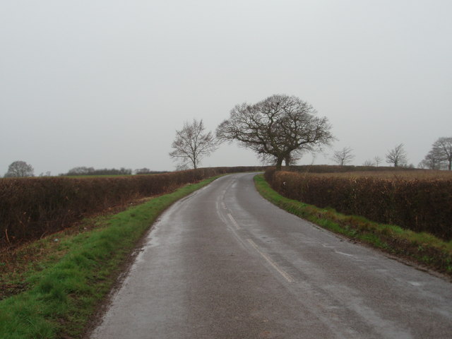
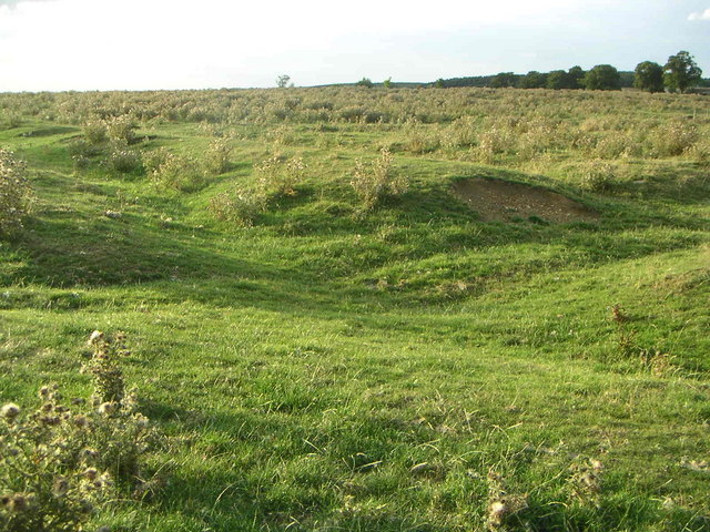
Briary Plantation is a picturesque woodland located in the county of Buckinghamshire, England. Stretching over an area of approximately 100 acres, it is known for its enchanting beauty and serene atmosphere, making it a popular destination for nature lovers and outdoor enthusiasts.
The plantation is predominantly made up of a variety of tree species, including oak, beech, and birch, which create a dense and diverse forest canopy. The lush undergrowth is adorned with bluebells, wild garlic, and ferns, adding to the natural charm of the woodland.
Visitors can explore the plantation through a network of well-maintained footpaths and trails, which wind their way through the trees and offer stunning views of the surrounding countryside. The paths are suitable for all levels of fitness and are often used by hikers, joggers, and dog walkers.
Briary Plantation is also home to a wide range of wildlife, with numerous bird species, such as woodpeckers and owls, making their homes among the trees. Squirrels can often be spotted scurrying through the branches, while deer occasionally graze in the quieter areas of the woodland.
The plantation is managed by local authorities, who ensure its preservation and conservation. They organize regular tree planting events and maintenance activities to sustain the health and vitality of the woodland ecosystem.
Overall, Briary Plantation offers a tranquil escape from the hustle and bustle of everyday life, providing visitors with the opportunity to immerse themselves in the beauty of nature and enjoy the peaceful ambiance of this charming Buckinghamshire woodland.
If you have any feedback on the listing, please let us know in the comments section below.
Briary Plantation Images
Images are sourced within 2km of 52.000369/-0.81249529 or Grid Reference SP8134. Thanks to Geograph Open Source API. All images are credited.


Briary Plantation is located at Grid Ref: SP8134 (Lat: 52.000369, Lng: -0.81249529)
Unitary Authority: Buckinghamshire
Police Authority: Thames Valley
What 3 Words
///rarely.rags.closed. Near Shenley Church End, Buckinghamshire
Nearby Locations
Related Wikis
Snelshall Priory
Snelshall Priory was a Benedictine priory in Milton Keynes, Buckinghamshire in the United Kingdom, built around 1200. The priory was founded after Sybil...

Oxley Mead
Oxley Mead is a 3.7 hectares (9.1 acres) biological Site of Special Scientific Interest in the Oxley Park district of Shenley Church End in Milton Keynes...
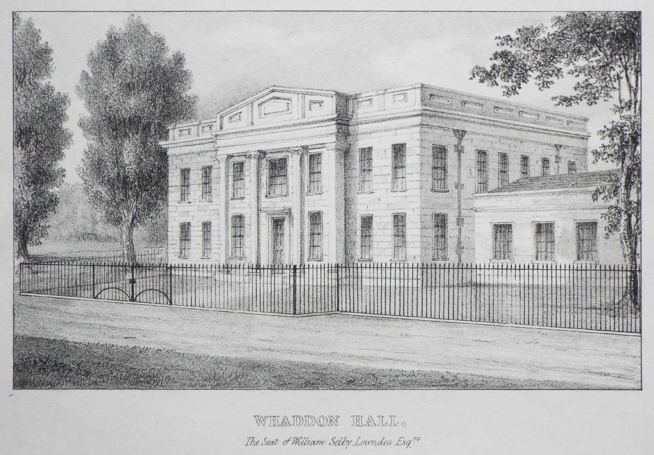
Whaddon Hall
Whaddon Hall is a country house in Whaddon, Buckinghamshire. It is a Grade II listed building. == History == The first manor house was built on the site...
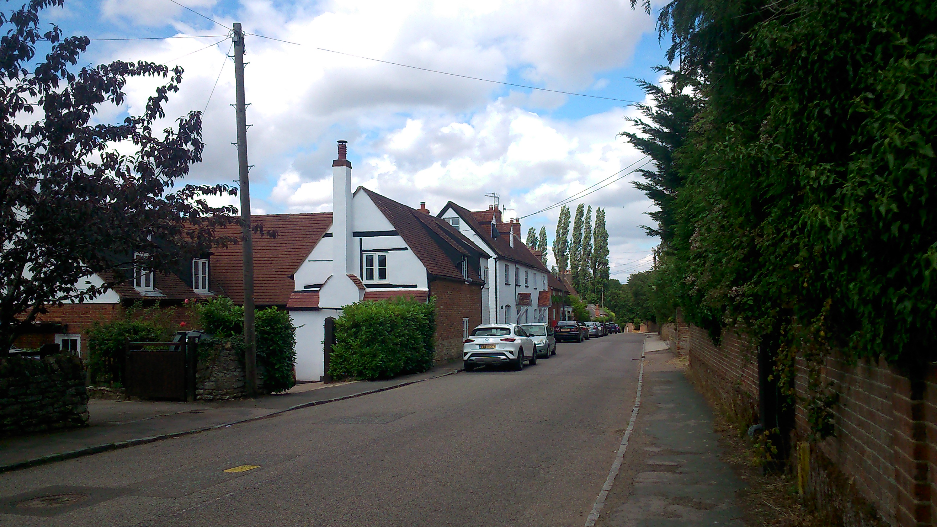
Whaddon, Buckinghamshire
Whaddon is a village and also a civil parish in Buckinghamshire, England, within the Buckinghamshire Council unitary authority area. It is situated just...

Westcroft
Westcroft is a district in the western part of Milton Keynes, Buckinghamshire, England, in the civil parish of Shenley Brook End. Westcroft District Centre...

Oxley Woods
Oxley Woods is a housing development in Oxley Park, a district of Milton Keynes, Buckinghamshire, England. The development was designed by Rogers Stirk...
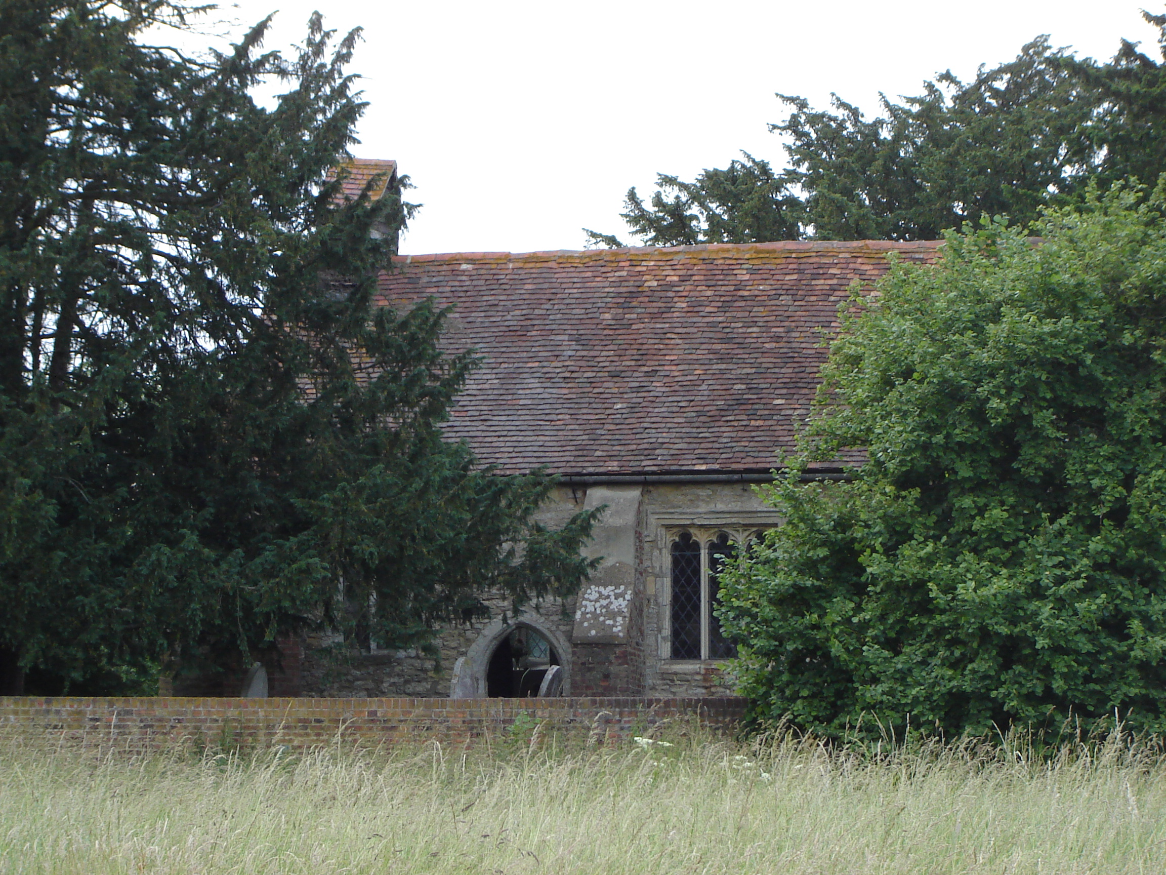
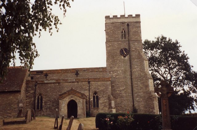
St Giles's Church, Tattenhoe
St. Giles's Church is a small 16th century Church of England church in Tattenhoe, a district in south-west Milton Keynes, Buckinghamshire, England. It...
Tattenhoe
Tattenhoe and Tattenhoe Park are adjacent neighbourhoods of Milton Keynes, Buckinghamshire, England, in the ancient ecclesiastic parish of Tattenhoe....
Related Videos

Cllr James Lancaster's visit on the 1st Tattenhoe Jumble Trail
Cllr James Lancaster went and tried the 1st ever jumbo trail in Tattenhoe and loved every second of it. Plans are for another one ...

How to approach a dangerous left bend to turn right
How to approach a dangerous left bend(blind corner) to turn right. We look at two examples of turning right on dangerous left ...


Nearby Amenities
Located within 500m of 52.000369,-0.81249529Have you been to Briary Plantation?
Leave your review of Briary Plantation below (or comments, questions and feedback).