Whaddon Park
Downs, Moorland in Buckinghamshire
England
Whaddon Park
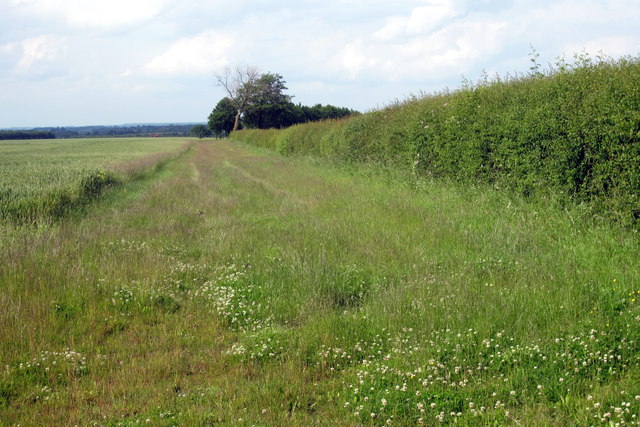
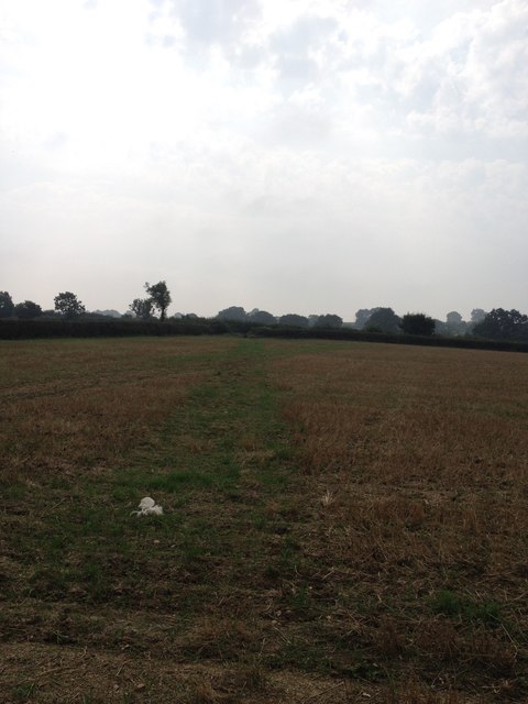
Whaddon Park is a picturesque location situated in the county of Buckinghamshire in England. It is an expansive area encompassing both downs and moorland, offering visitors a diverse and stunning landscape to explore.
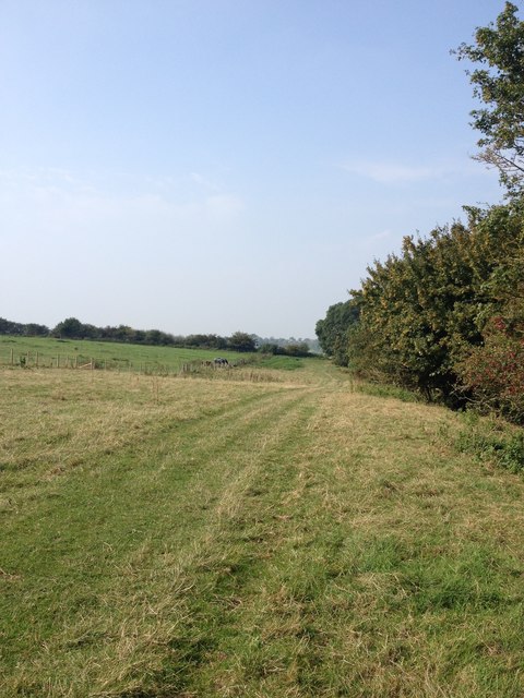
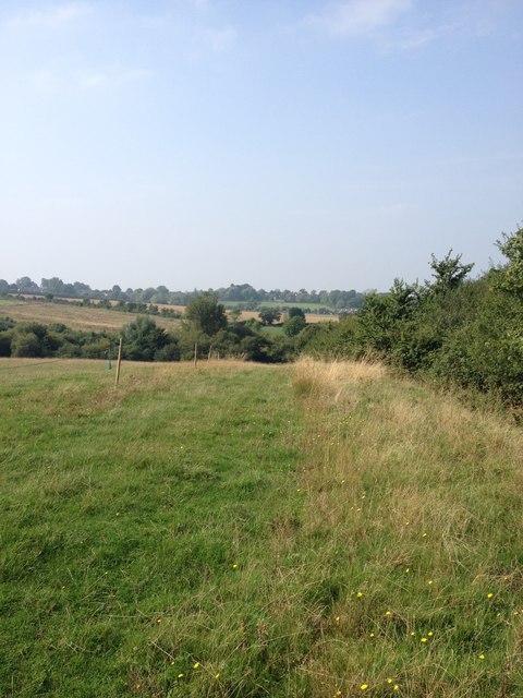
The park is renowned for its natural beauty, with rolling hills and open grasslands dominating the downs. These downs provide breathtaking views of the surrounding countryside, making it a popular spot for locals and tourists alike. The moorland, on the other hand, offers a more rugged and wild terrain, with heather-covered hills and rocky outcrops adding to the park's charm.
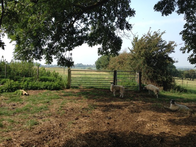
Wildlife enthusiasts will be delighted by the abundance of flora and fauna found in Whaddon Park. The downs are home to a variety of bird species, including skylarks and meadow pipits, while the moorland provides a habitat for reptiles like adders and common lizards. Additionally, the park boasts a diverse range of plant life, including wildflowers such as bluebells and orchids.
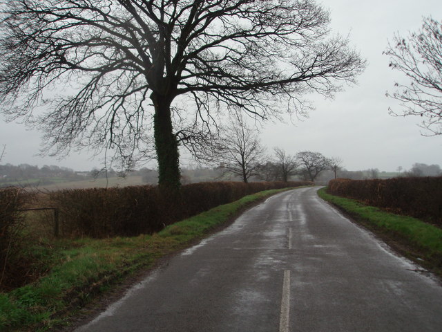
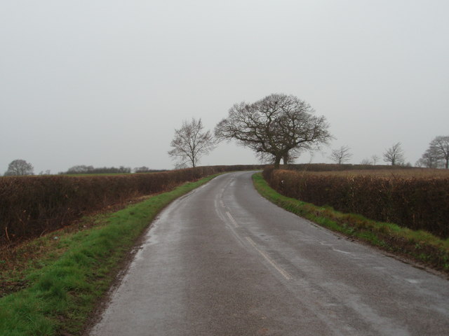
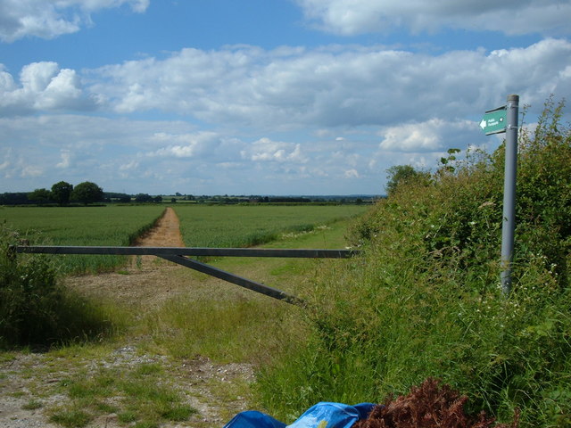
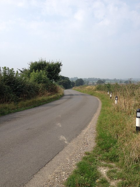
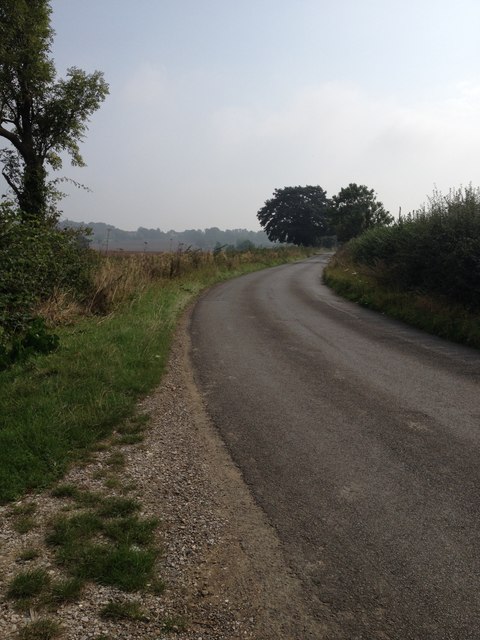
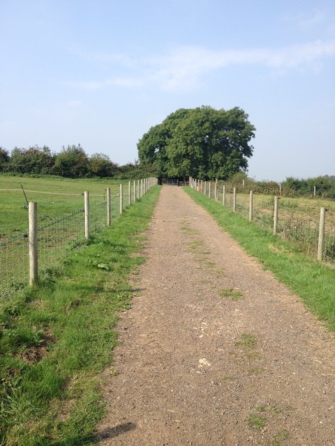
For those looking to explore the park on foot, there are several walking trails and pathways that crisscross through the downs and moorland. These trails offer a chance to immerse oneself in the natural surroundings and discover hidden gems along the way.
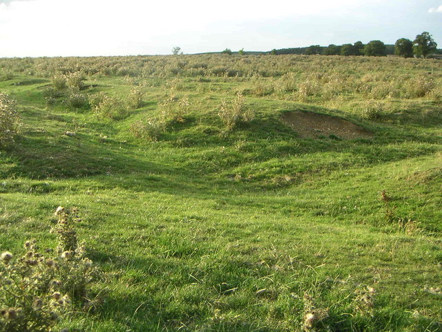
Whaddon Park is also steeped in history, with archaeological sites dating back to the Iron Age. Ruins of ancient settlements and burial mounds can still be found within the park, providing a glimpse into the area's rich past.
Overall, Whaddon Park is a haven for nature lovers and history enthusiasts, offering a captivating blend of downs, moorland, and cultural heritage.
If you have any feedback on the listing, please let us know in the comments section below.
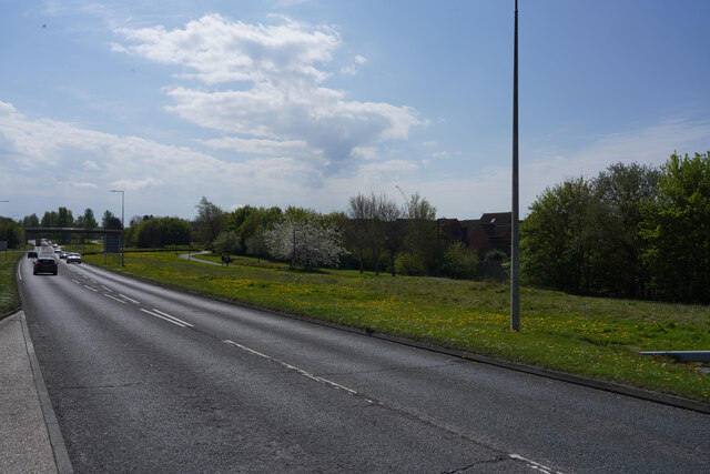
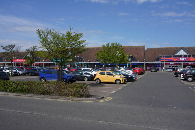
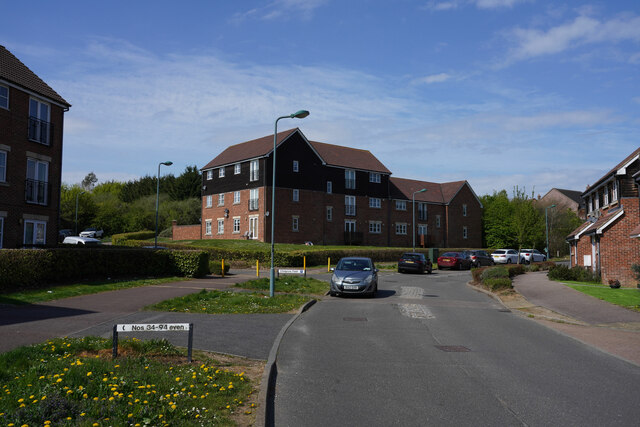
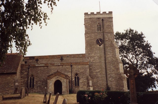
Whaddon Park Images
Images are sourced within 2km of 52.003331/-0.82006507 or Grid Reference SP8134. Thanks to Geograph Open Source API. All images are credited.


Whaddon Park is located at Grid Ref: SP8134 (Lat: 52.003331, Lng: -0.82006507)
Unitary Authority: Buckinghamshire
Police Authority: Thames Valley
What 3 Words
///decently.rams.initial. Near Shenley Church End, Buckinghamshire
Nearby Locations
Related Wikis
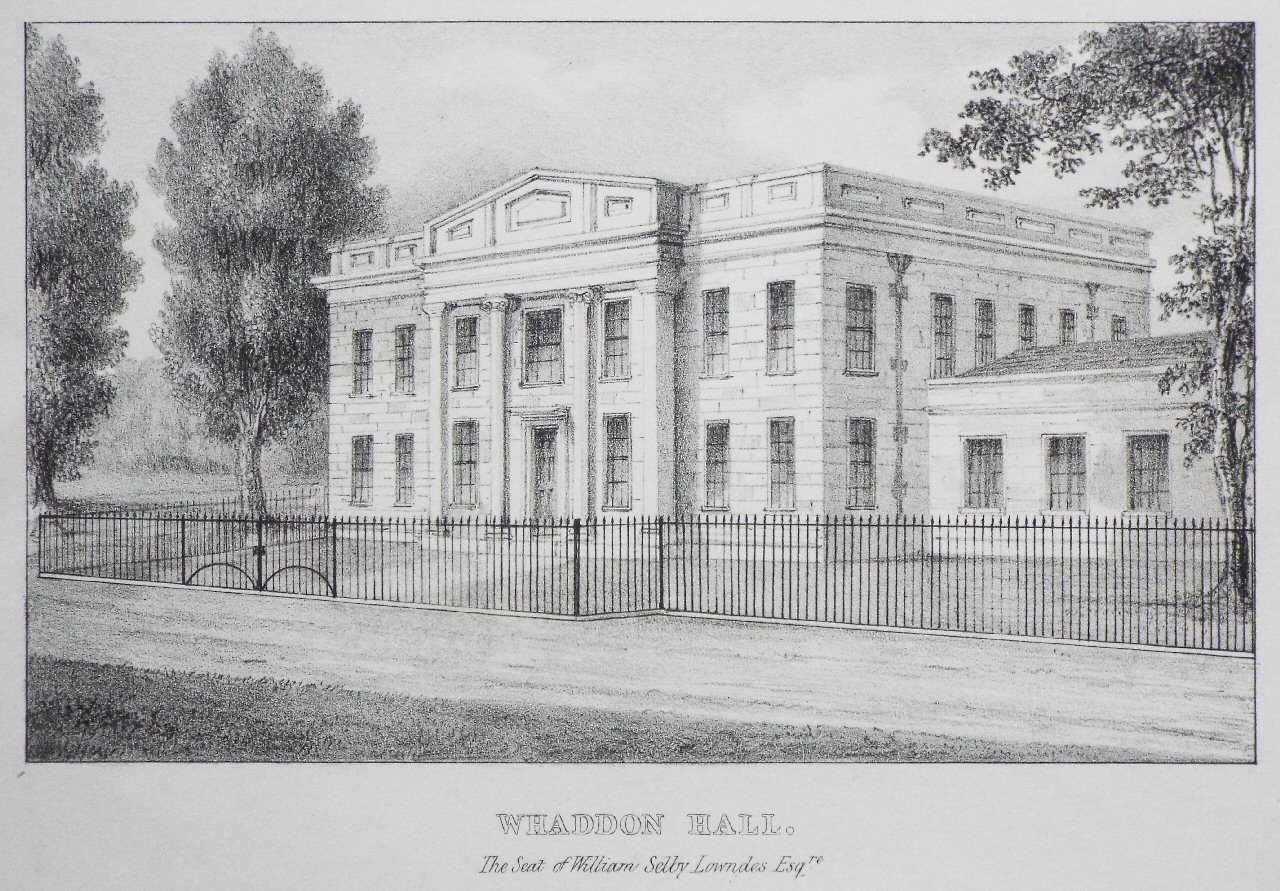
Whaddon Hall
Whaddon Hall is a country house in Whaddon, Buckinghamshire. It is a Grade II listed building. == History == The first manor house was built on the site...
Snelshall Priory
Snelshall Priory was a Benedictine priory in Milton Keynes, Buckinghamshire in the United Kingdom, built around 1200. The priory was founded after Sybil...
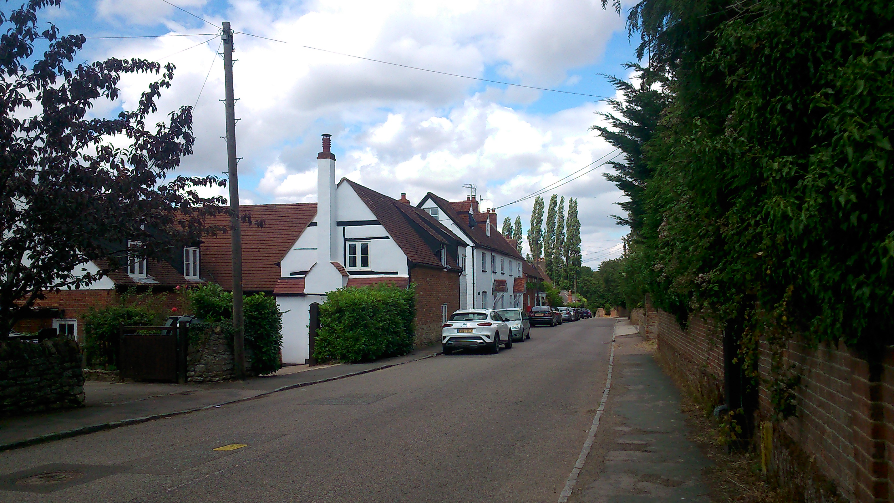
Whaddon, Buckinghamshire
Whaddon is a village and also a civil parish in Buckinghamshire, England, within the Buckinghamshire Council unitary authority area. It is situated just...

Oxley Mead
Oxley Mead is a 3.7 hectares (9.1 acres) biological Site of Special Scientific Interest in the Oxley Park district of Shenley Church End in Milton Keynes...

Oxley Woods
Oxley Woods is a housing development in Oxley Park, a district of Milton Keynes, Buckinghamshire, England. The development was designed by Rogers Stirk...

Westcroft
Westcroft is a district in the western part of Milton Keynes, Buckinghamshire, England, in the civil parish of Shenley Brook End. Westcroft District Centre...
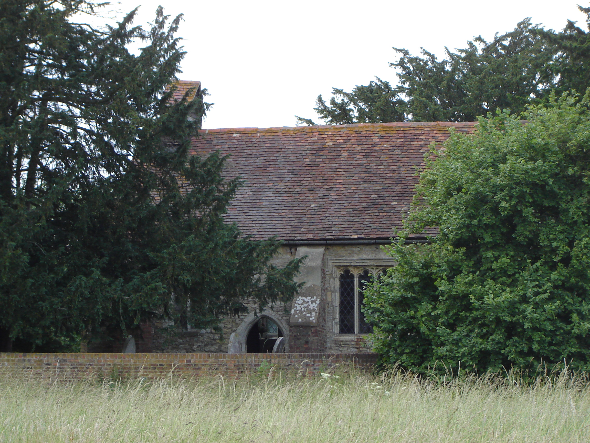
St Giles's Church, Tattenhoe
St. Giles's Church is a small 16th century Church of England church in Tattenhoe, a district in south-west Milton Keynes, Buckinghamshire, England. It...
The Hazeley Academy
The Hazeley Academy is an 11 to 19 secondary school and sixth form located in Hazeley on the western edge of Milton Keynes, United Kingdom. == History... ==
Related Videos

How to approach a dangerous left bend to turn right
How to approach a dangerous left bend(blind corner) to turn right. We look at two examples of turning right on dangerous left ...


Nearby Amenities
Located within 500m of 52.003331,-0.82006507Have you been to Whaddon Park?
Leave your review of Whaddon Park below (or comments, questions and feedback).