Pitts Plantation
Wood, Forest in Yorkshire
England
Pitts Plantation
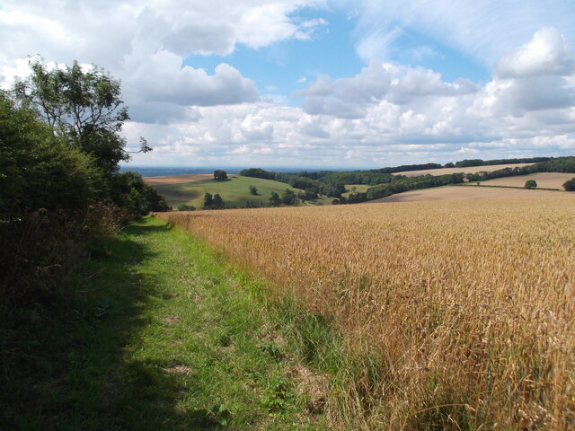
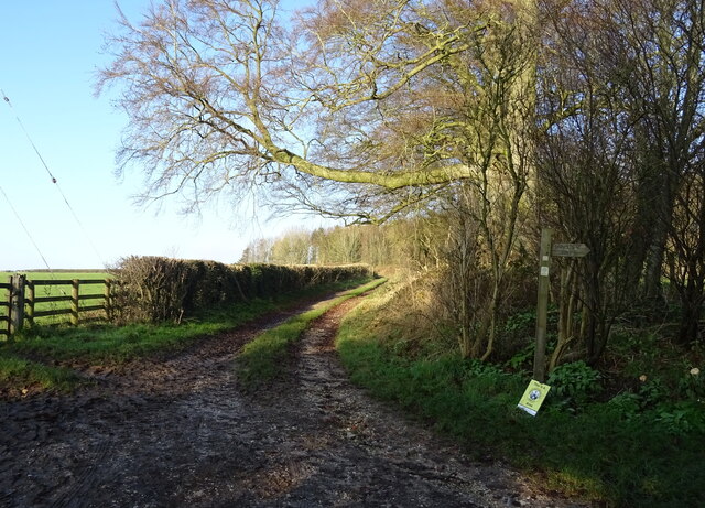
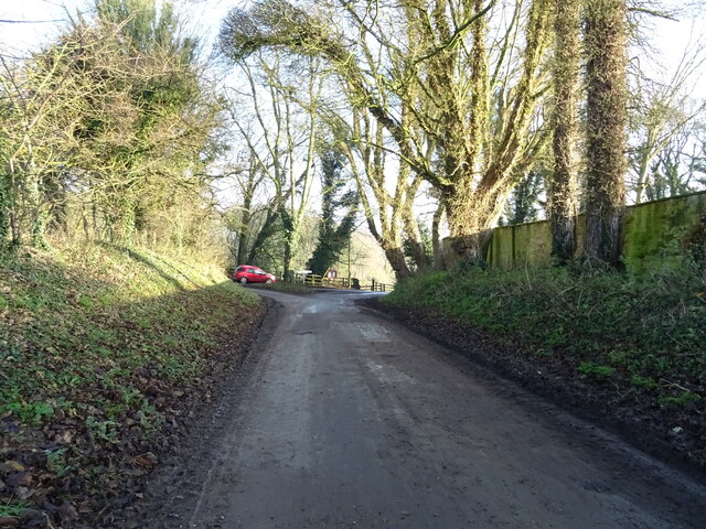
Pitts Plantation is a picturesque woodland located in the county of Yorkshire, England. Situated in the heart of the Yorkshire Dales, this enchanting forest spans over a vast area, encompassing an estimated 200 acres of lush greenery and natural beauty.
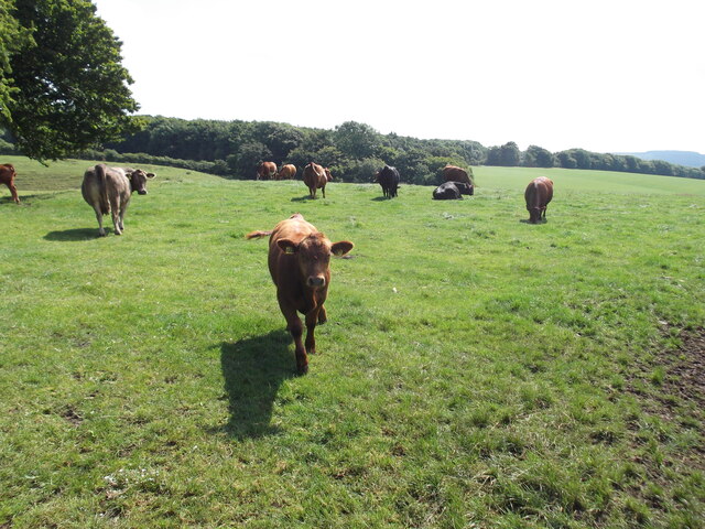
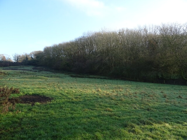
The plantation is predominantly composed of dense woodlands, featuring a captivating mix of towering oak, beech, and ash trees that create a serene and tranquil atmosphere. The canopy formed by these majestic trees provides a sheltered haven for an array of wildlife, including various species of birds, mammals, and insects.
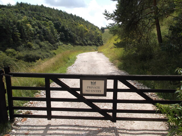
Walking through Pitts Plantation, visitors will be greeted by a network of well-maintained trails that wind their way through the woodland. These paths offer a chance to explore the plantation's diverse ecosystem, with the opportunity to spot rare plant species, vibrant wildflowers, and vibrant fungi that thrive in this unique environment.
In addition to its natural beauty, Pitts Plantation also boasts a rich historical significance. The site was once part of a larger estate owned by the prominent Pitts family, who were renowned landowners in the area during the 18th century. The remnants of their grand manor house can still be seen within the woodland, adding a touch of intrigue and nostalgia to the plantation.
Pitts Plantation is a popular destination for nature enthusiasts, hikers, and those seeking a peaceful retreat away from the hustle and bustle of city life. Its idyllic setting, diverse flora and fauna, and historical charm make it a truly captivating destination for visitors of all ages.
If you have any feedback on the listing, please let us know in the comments section below.
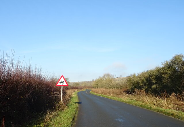
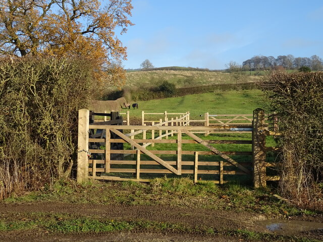
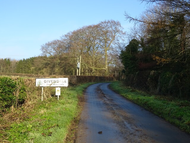
Pitts Plantation Images
Images are sourced within 2km of 53.971838/-0.75186449 or Grid Reference SE8153. Thanks to Geograph Open Source API. All images are credited.

Pitts Plantation is located at Grid Ref: SE8153 (Lat: 53.971838, Lng: -0.75186449)
Division: East Riding
Unitary Authority: East Riding of Yorkshire
Police Authority: Humberside
What 3 Words
///hypnotist.renew.duke. Near Millington, East Yorkshire
Related Wikis

Beckhead Plantation
Beckhead Plantation is a Site of Special Scientific Interest (SSSI) and nature reserve in the East Riding of Yorkshire, England. It is located close to...

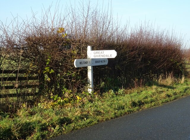
Great Givendale
Great Givendale is a hamlet in the East Riding of Yorkshire, England. It is situated approximately 3 miles (5 km) north of Pocklington. Great Givendale...

Millington, East Riding of Yorkshire
Millington is a small village and civil parish in the East Riding of Yorkshire, England. It is situated approximately 2 miles (3.2 km) north-east of Pocklington...

Ousethorpe
Ousethorpe is a small hamlet in the East Riding of Yorkshire, England. It is situated approximately 1.5 miles (2.4 km) north of Pocklington. It forms part...
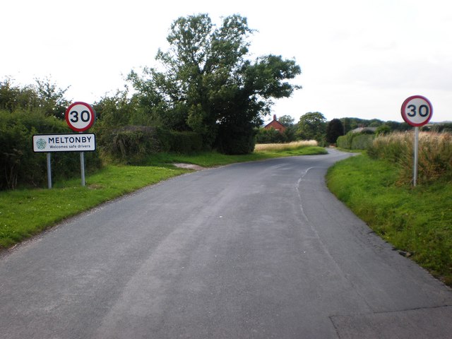
Meltonby
Meltonby is a hamlet in the civil parish of Yapham, in the East Riding of Yorkshire, England. It is situated approximately 2 miles (3.2 km) north of Pocklington...
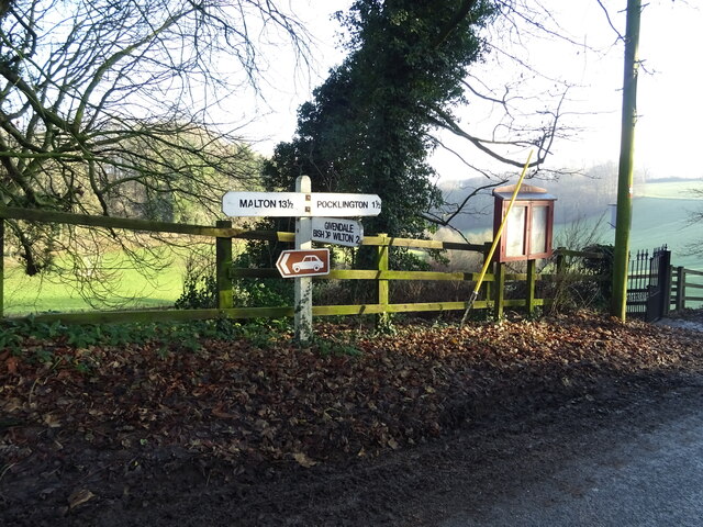
Bishop Wilton
Bishop Wilton is a small village and civil parish in the East Riding of Yorkshire, England. It is situated approximately 4 miles (6 km) north of Pocklington...

Bishop Wilton Wold
Bishop Wilton Wold is the highest point of the Yorkshire Wolds in the East Riding of Yorkshire, England. The summit, known as Garrowby Hill, lies about...

Yapham
Yapham is a village and civil parish in the East Riding of Yorkshire, Northern England. It is situated about 2 miles (3.2 km) north-east of Pocklington...
Nearby Amenities
Located within 500m of 53.971838,-0.75186449Have you been to Pitts Plantation?
Leave your review of Pitts Plantation below (or comments, questions and feedback).