Brimlands Wood

Wood, Forest in Yorkshire

England

Brimlands Wood

A bus shelter at Meltonby
A bus shelter at Meltonby Credit: Ian S

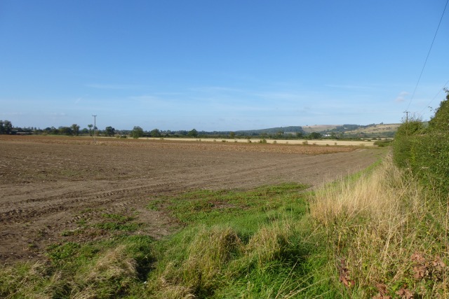
Brimlands Wood, located in Yorkshire, England, is a captivating forest that spans across a vast area of approximately 500 acres. This woodland is renowned for its natural beauty, diverse ecosystem, and rich history. Situated amidst rolling hills and picturesque landscapes, Brimlands Wood is a haven for nature enthusiasts, hikers, and wildlife enthusiasts alike.

The forest is primarily composed of deciduous trees, including oak, beech, and birch, which adorn the landscape with their vibrant foliage during the autumn months. The canopy created by these majestic trees provides a sheltered environment for a variety of flora and fauna to thrive. Wildflowers, ferns, and mosses carpet the forest floor, creating a colorful tapestry that changes with the seasons.

Brimlands Wood is home to an array of wildlife species, making it a popular destination for birdwatchers and animal lovers. Visitors may have the opportunity to spot various bird species, such as woodpeckers, owls, and thrushes, amongst others. Additionally, the forest is inhabited by mammals like deer, foxes, and badgers, which can sometimes be spotted during quieter hours.

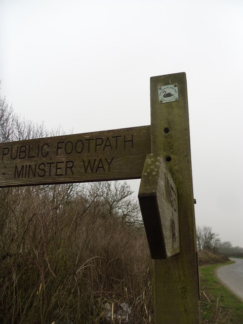
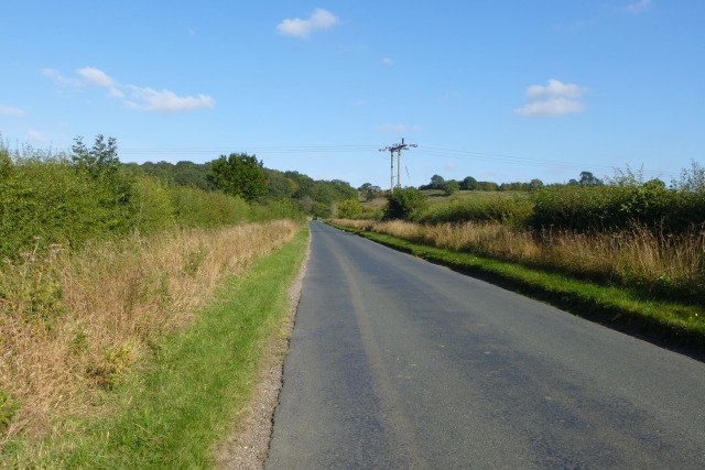
The wood is crisscrossed by a network of well-maintained walking trails, allowing visitors to explore its enchanting beauty at their own pace. These trails wind through ancient trees, babbling brooks, and serene ponds, providing a tranquil escape from the bustle of everyday life.

With its breathtaking natural scenery and abundance of wildlife, Brimlands Wood offers a unique opportunity to immerse oneself in the wonders of nature. Whether it be for a leisurely stroll, a wildlife-spotting adventure, or simply a moment of serenity, this forest is a must-visit destination for nature enthusiasts in Yorkshire.

If you have any feedback on the listing, please let us know in the comments section below.

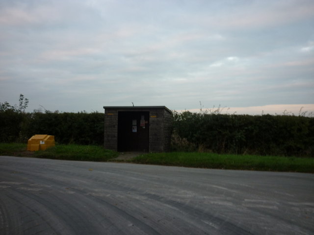
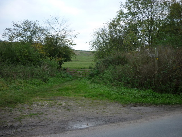
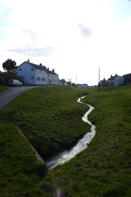
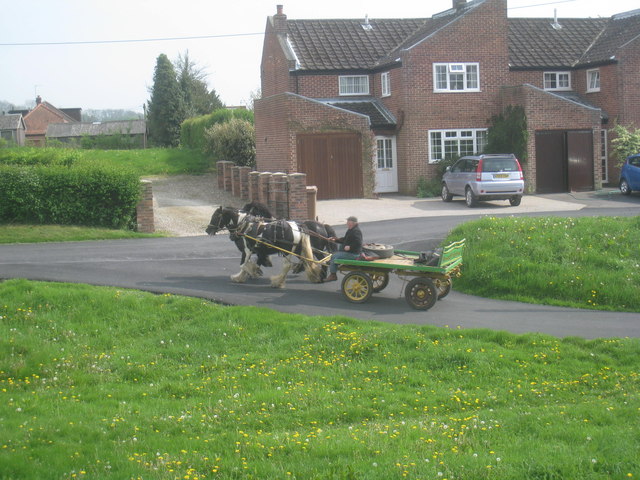
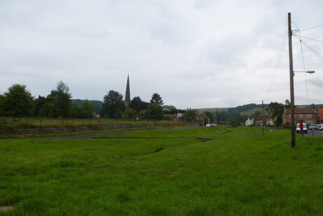
Brimlands Wood Images

Images are sourced within 2km of 53.971759/-0.76598462 or Grid Reference SE8153. Thanks to Geograph Open Source API. All images are credited.

A bus shelter at Meltonby
The Chalkland Way & Minster Way at Bishop Wilton
The Fleece Inn, Bishop Wilton
Minster way. The footpath leaves the lane.
Minster way.
The footpath leaves the lane.
Bishop Wilton. Unspoilt village at the foot of the wolds.
Bishop Wilton.
Unspoilt village at the foot of the wolds.
Bishop Wilton from the south-east The village, seen from the footpath followed by the Minster Way and Chalklands Way, was briefly lit by the sun after a heavy downpour.
Bishop Wilton from the south-east
The village, seen from the footpath followed by the Minster Way and Chalklands Way, was briefly lit by the sun after a heavy downpour.
The outskirts of Bishop Wilton
The Village Shop, Bishop Wilton
Farmland near Meltonby Similar view to <a href="https://www.geograph.org.uk/photo/211255">SE7952 : Looking towards Bishop Wilton</a> 7 years on.
Farmland near Meltonby
Similar view to SE7952 : Looking towards Bishop Wilton 7 years on.
Road to Bishop Wilton Looking towards the overhead cables crossing the road.
Road to Bishop Wilton
Looking towards the overhead cables crossing the road.
Fleece Inn The Fleece Inn in Bishop Wilton.
Fleece Inn
The Fleece Inn in Bishop Wilton.
Bishop Wilton Looking along the beck towards the Wolds. Seven years on from <a href="https://www.geograph.org.uk/photo/211273">SE7955 : Bishop Wilton</a>.
Bishop Wilton
Looking along the beck towards the Wolds. Seven years on from SE7955 : Bishop Wilton.
Bishop Wilton Beck Looking through the village from a bench at the northern end of the village.
Bishop Wilton Beck
Looking through the village from a bench at the northern end of the village.
Beckside Road Road it most certainly isn't, nor even at this point the track that the Ordnance Survey describes it as being. But it is a perfectly serviceable footpath though once the oilseed rape has grown a bit more a machete might come in useful at some points!
Beckside Road
Road it most certainly isn't, nor even at this point the track that the Ordnance Survey describes it as being. But it is a perfectly serviceable footpath though once the oilseed rape has grown a bit more a machete might come in useful at some points!
Beckside Road The Ordnance Survey describes this as a track which is correct but closer to Yapham it becomes no more than a path.
Beckside Road
The Ordnance Survey describes this as a track which is correct but closer to Yapham it becomes no more than a path.
Bank Holiday outing I'm out walking and these two are their owner are out riding.
The core of Bishop Wilton is a wide village green through which runs a beck. There is a road on either side of the green and a number of cross-links of which these horses are on one.
Bank Holiday outing
I'm out walking and these two are their owner are out riding. The core of Bishop Wilton is a wide village green through which runs a beck. There is a road on either side of the green and a number of cross-links of which these horses are on one.
Footpath at Meltonby Cuts across this field of oilseed rape. The path has not been maintained. The choice is either round the edge of the field or along the road. Distance-wise there is nothing in it. In terms of effort the road is the easier option.
Footpath at Meltonby
Cuts across this field of oilseed rape. The path has not been maintained. The choice is either round the edge of the field or along the road. Distance-wise there is nothing in it. In terms of effort the road is the easier option.
Bishop Wilton Looking across the beck running through the village.
Bishop Wilton
Looking across the beck running through the village.
Show me another place!

Brimlands Wood is located at Grid Ref: SE8153 (Lat: 53.971759, Lng: -0.76598462)

Division: East Riding

Unitary Authority: East Riding of Yorkshire

Police Authority: Humberside

What 3 Words

///lyricism.bulk.unzipped. Near Millington, East Yorkshire

Related Wikis

Great Givendale

Great Givendale is a hamlet in the East Riding of Yorkshire, England. It is situated approximately 3 miles (5 km) north of Pocklington. Great Givendale...

Beckhead Plantation

Beckhead Plantation is a Site of Special Scientific Interest (SSSI) and nature reserve in the East Riding of Yorkshire, England. It is located close to...
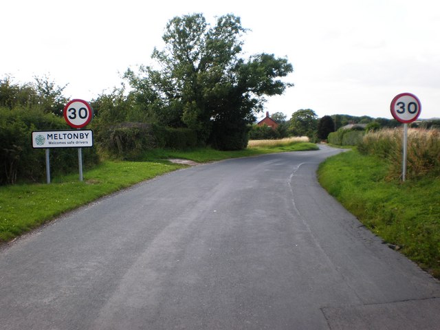
Meltonby

Meltonby is a hamlet in the civil parish of Yapham, in the East Riding of Yorkshire, England. It is situated approximately 2 miles (3.2 km) north of Pocklington...
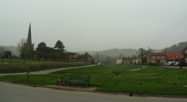
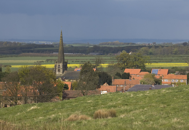
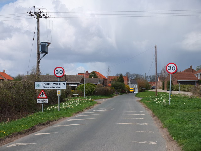
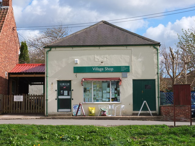
Bishop Wilton

Bishop Wilton is a small village and civil parish in the East Riding of Yorkshire, England. It is situated approximately 4 miles (6 km) north of Pocklington...

Ousethorpe

Ousethorpe is a small hamlet in the East Riding of Yorkshire, England. It is situated approximately 1.5 miles (2.4 km) north of Pocklington. It forms part...

Yapham

Yapham is a village and civil parish in the East Riding of Yorkshire, Northern England. It is situated about 2 miles (3.2 km) north-east of Pocklington...

Millington, East Riding of Yorkshire

Millington is a small village and civil parish in the East Riding of Yorkshire, England. It is situated approximately 2 miles (3.2 km) north-east of Pocklington...

Bishop Wilton Wold

Bishop Wilton Wold is the highest point of the Yorkshire Wolds in the East Riding of Yorkshire, England. The summit, known as Garrowby Hill, lies about...

Nearby Amenities

Located within 500m of 53.971759,-0.76598462
Barrier: kissing_gate
Lat/Long: 53.9756741/-0.7694588
Givendale
Is In: East Riding of Yorkshire, England, UK
Is In County: East Riding of Yorkshire
Place: hamlet
Lat/Long: 53.9739552/-0.7631108
Passing Place
Lat/Long: 53.9732766/-0.7683666
Information: route_marker
Tourism: information
Lat/Long: 53.9756225/-0.7694758
Brimlands
Place: locality
Lat/Long: 53.9726302/-0.7684107
Information: route_marker
Tourism: information
Lat/Long: 53.9749143/-0.7672447
Information: route_marker
Tourism: information
Lat/Long: 53.9742407/-0.7670381
Bench
Lat/Long: 53.9742391/-0.7670086
Information: guidepost
Tourism: information
Lat/Long: 53.9744079/-0.7622088
Passing Place
Lat/Long: 53.9734575/-0.7617052
Information: guidepost
Tourism: information
Lat/Long: 53.971462/-0.7614439
Post Box
Collection Times: Mo-Fr 16:00; Sa 10:45
Post Box Type: wall
Ref: YO42 143
Royal Cypher: EIIR
Royal Cypher Wikidata: Q33102113
Lat/Long: 53.9741007/-0.7646213
Historic: memorial
Material: stone
Lat/Long: 53.9747963/-0.7612
The data included in this document is from www.openstreetmap.org. The data is made available under ODbL.

Have you been to Brimlands Wood?

Leave your review of Brimlands Wood below (or comments, questions and feedback).