Great Givendale

Settlement in Yorkshire

England

Great Givendale

The Chalkland Way & Minster Way at Bishop Wilton
The Chalkland Way & Minster Way at Bishop Wilton Credit: Ian S

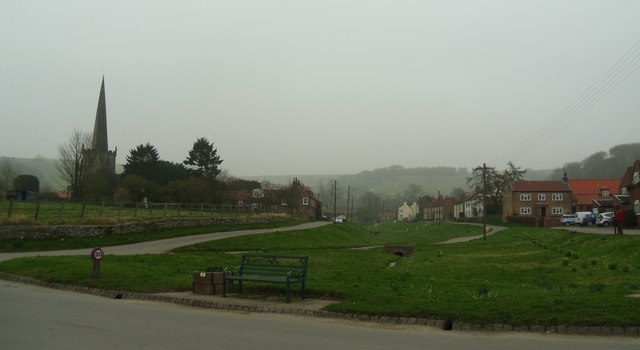
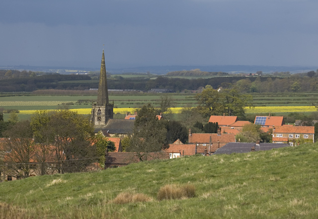
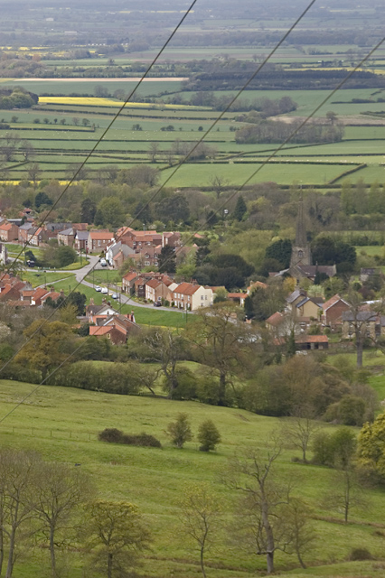
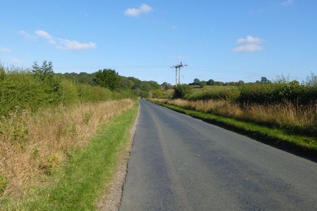
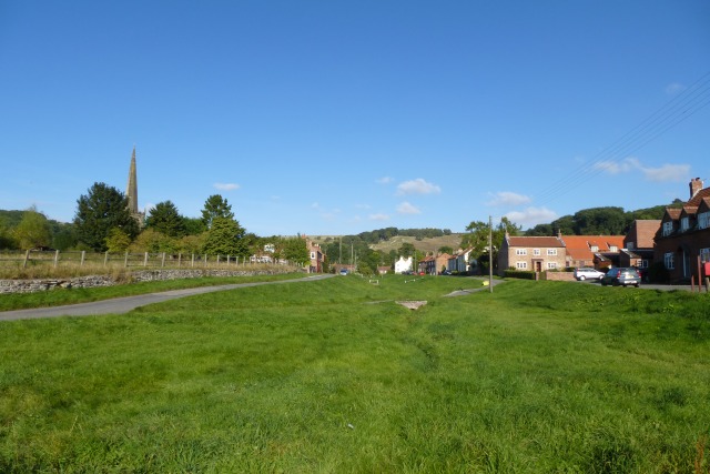
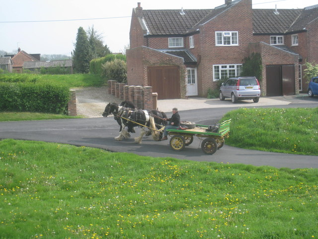
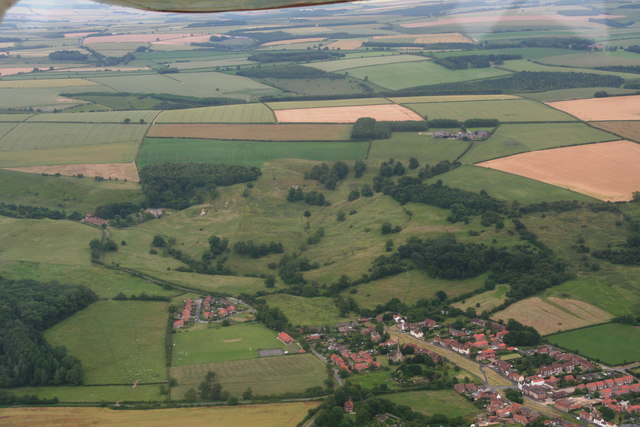
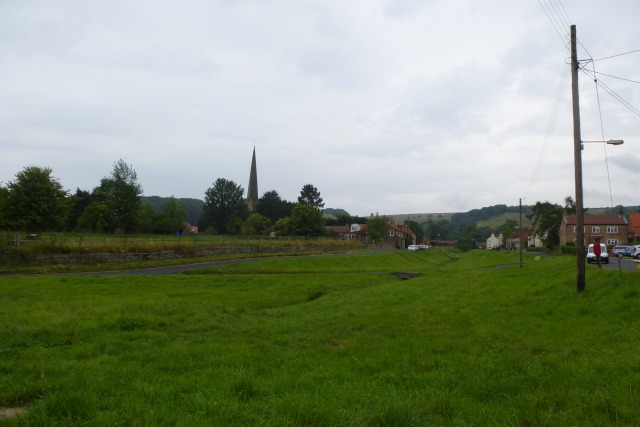
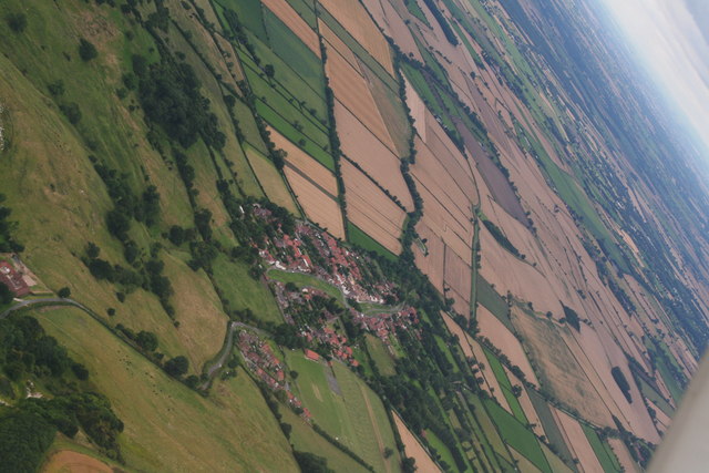
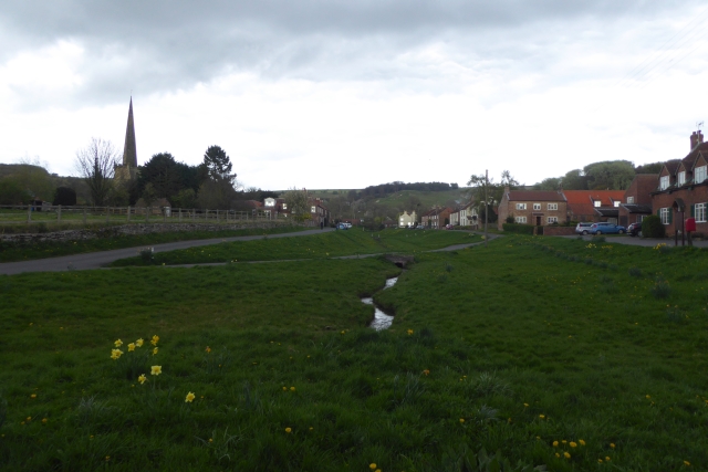
Great Givendale is a small picturesque village located in the East Riding of Yorkshire, England. Situated in the heart of the Yorkshire Wolds, it is surrounded by rolling hills, lush green meadows, and stunning countryside. The village is nestled in a quiet valley, offering residents and visitors a peaceful and tranquil setting.

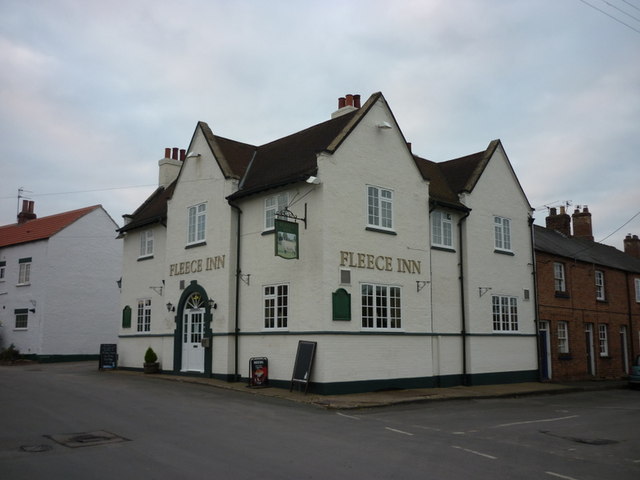
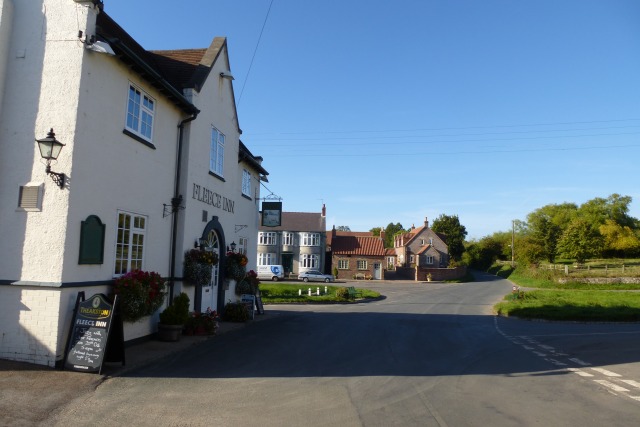
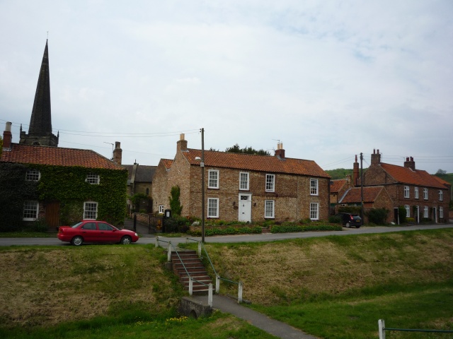
The village itself is comprised of a handful of charming cottages, a small church, and a village hall. The architecture of the buildings showcases traditional Yorkshire stone construction, adding to the village's rustic charm. The local community is tight-knit and friendly, creating a welcoming atmosphere for visitors.

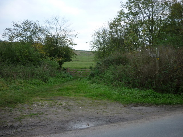
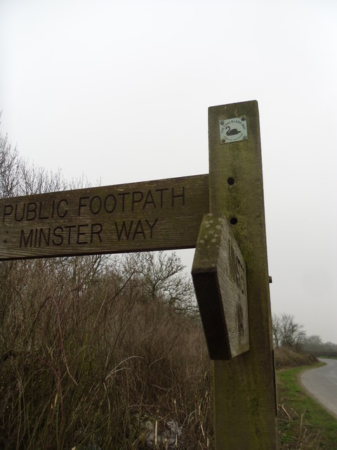
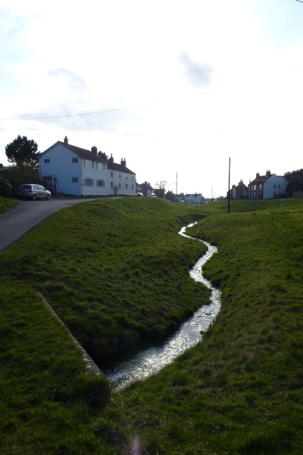
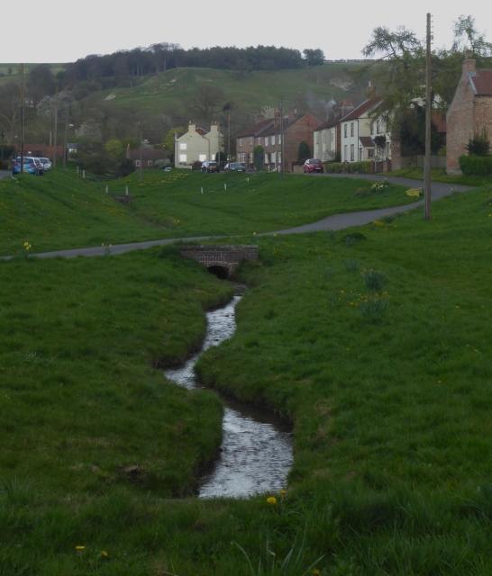
Great Givendale is a popular destination for outdoor enthusiasts and nature lovers. The area is known for its scenic walking and cycling routes, offering breathtaking views of the surrounding countryside. The nearby Givendale Beck, a small stream that runs through the village, adds to the idyllic setting.

In addition to its natural beauty, Great Givendale is rich in history. The village is believed to have ancient origins, with evidence of human habitation dating back thousands of years. Nearby archaeological sites and historic landmarks, such as the medieval church of St. Ethelburga, provide a glimpse into the village's past.

Despite its small size, Great Givendale has a strong sense of community and is home to various local events and activities throughout the year. These include summer fairs, harvest festivals, and community gatherings that bring residents and visitors together.

Overall, Great Givendale offers a serene and charming escape from the hustle and bustle of modern life, making it a perfect destination for those seeking tranquility and natural beauty in the heart of Yorkshire.

If you have any feedback on the listing, please let us know in the comments section below.

Great Givendale Images

Images are sourced within 2km of 53.97416/-0.76260511 or Grid Reference SE8153. Thanks to Geograph Open Source API. All images are credited.

The Chalkland Way & Minster Way at Bishop Wilton
The Fleece Inn, Bishop Wilton
Minster way. The footpath leaves the lane.
Minster way.
The footpath leaves the lane.
Bishop Wilton. Unspoilt village at the foot of the wolds.
Bishop Wilton.
Unspoilt village at the foot of the wolds.
Bishop Wilton from the south-east The village, seen from the footpath followed by the Minster Way and Chalklands Way, was briefly lit by the sun after a heavy downpour.
Bishop Wilton from the south-east
The village, seen from the footpath followed by the Minster Way and Chalklands Way, was briefly lit by the sun after a heavy downpour.
Bishop Wilton from Stonetable Hill The village from the east, seen from the area of access land covering Stonetable Hill
Bishop Wilton from Stonetable Hill
The village from the east, seen from the area of access land covering Stonetable Hill
The outskirts of Bishop Wilton
The Village Shop, Bishop Wilton
Road to Bishop Wilton Looking towards the overhead cables crossing the road.
Road to Bishop Wilton
Looking towards the overhead cables crossing the road.
Fleece Inn The Fleece Inn in Bishop Wilton.
Fleece Inn
The Fleece Inn in Bishop Wilton.
Bishop Wilton Looking along the beck towards the Wolds. Seven years on from <a href="https://www.geograph.org.uk/photo/211273">SE7955 : Bishop Wilton</a>.
Bishop Wilton
Looking along the beck towards the Wolds. Seven years on from SE7955 : Bishop Wilton.
Bishop Wilton Beck Looking through the village from a bench at the northern end of the village.
Bishop Wilton Beck
Looking through the village from a bench at the northern end of the village.
Bank Holiday outing I'm out walking and these two are their owner are out riding.
The core of Bishop Wilton is a wide village green through which runs a beck. There is a road on either side of the green and a number of cross-links of which these horses are on one.
Bank Holiday outing
I'm out walking and these two are their owner are out riding. The core of Bishop Wilton is a wide village green through which runs a beck. There is a road on either side of the green and a number of cross-links of which these horses are on one.
Bishop Wilton: aerial 2014
Bishop Wilton Looking across the beck running through the village.
Bishop Wilton
Looking across the beck running through the village.
Bishop Wilton, village in two halves: aerial 2015
Bishop Wilton Looking across the village with the beck in the centre.
Bishop Wilton
Looking across the village with the beck in the centre.
Bishop Wilton Beck The beck runs through the middle of the village.
Bishop Wilton Beck
The beck runs through the middle of the village.
Show me another place!

Great Givendale is located at Grid Ref: SE8153 (Lat: 53.97416, Lng: -0.76260511)

Division: East Riding

Unitary Authority: East Riding of Yorkshire

Police Authority: Humberside

What 3 Words

///solids.ratty.decency. Near Millington, East Yorkshire

Related Wikis

Great Givendale

Great Givendale is a hamlet in the East Riding of Yorkshire, England. It is situated approximately 3 miles (5 km) north of Pocklington. Great Givendale...

Beckhead Plantation

Beckhead Plantation is a Site of Special Scientific Interest (SSSI) and nature reserve in the East Riding of Yorkshire, England. It is located close to...
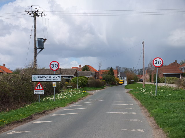
Bishop Wilton

Bishop Wilton is a small village and civil parish in the East Riding of Yorkshire, England. It is situated approximately 4 miles (6 km) north of Pocklington...
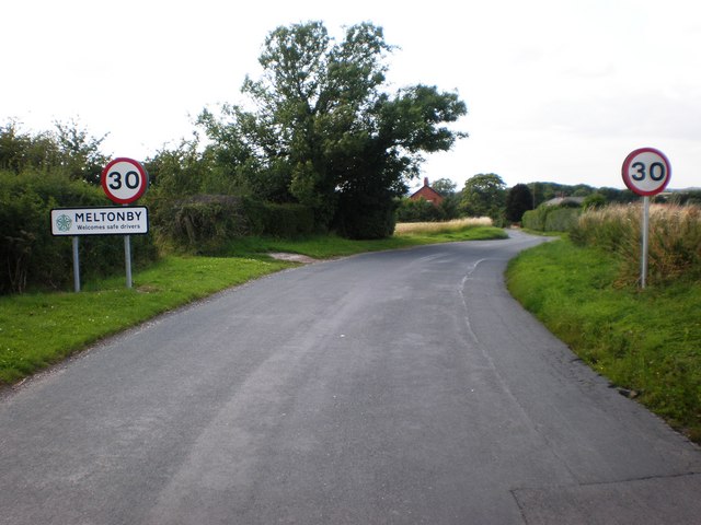
Meltonby

Meltonby is a hamlet in the civil parish of Yapham, in the East Riding of Yorkshire, England. It is situated approximately 2 miles (3.2 km) north of Pocklington...

Ousethorpe

Ousethorpe is a small hamlet in the East Riding of Yorkshire, England. It is situated approximately 1.5 miles (2.4 km) north of Pocklington. It forms part...

Millington, East Riding of Yorkshire

Millington is a small village and civil parish in the East Riding of Yorkshire, England. It is situated approximately 2 miles (3.2 km) north-east of Pocklington...

Yapham

Yapham is a village and civil parish in the East Riding of Yorkshire, Northern England. It is situated about 2 miles (3.2 km) north-east of Pocklington...

Bishop Wilton Wold

Bishop Wilton Wold is the highest point of the Yorkshire Wolds in the East Riding of Yorkshire, England. The summit, known as Garrowby Hill, lies about...

Nearby Amenities

Located within 500m of 53.97416,-0.76260511
Barrier: kissing_gate
Lat/Long: 53.9756741/-0.7694588
Givendale
Is In: East Riding of Yorkshire, England, UK
Is In County: East Riding of Yorkshire
Place: hamlet
Lat/Long: 53.9739552/-0.7631108
Passing Place
Lat/Long: 53.9732766/-0.7683666
Information: route_marker
Tourism: information
Lat/Long: 53.9756225/-0.7694758
Brimlands
Place: locality
Lat/Long: 53.9726302/-0.7684107
Information: route_marker
Tourism: information
Lat/Long: 53.9749143/-0.7672447
Information: route_marker
Tourism: information
Lat/Long: 53.9742407/-0.7670381
Bench
Lat/Long: 53.9742391/-0.7670086
Information: guidepost
Tourism: information
Lat/Long: 53.9744079/-0.7622088
Passing Place
Lat/Long: 53.9734575/-0.7617052
Information: guidepost
Tourism: information
Lat/Long: 53.971462/-0.7614439
Post Box
Collection Times: Mo-Fr 16:00; Sa 10:45
Post Box Type: wall
Ref: YO42 143
Royal Cypher: EIIR
Royal Cypher Wikidata: Q33102113
Lat/Long: 53.9741007/-0.7646213
Historic: memorial
Material: stone
Lat/Long: 53.9747963/-0.7612
The data included in this document is from www.openstreetmap.org. The data is made available under ODbL.

Have you been to Great Givendale?

Leave your review of Great Givendale below (or comments, questions and feedback).