Beck Plantation
Wood, Forest in Yorkshire
England
Beck Plantation
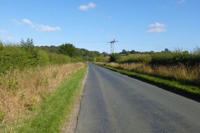
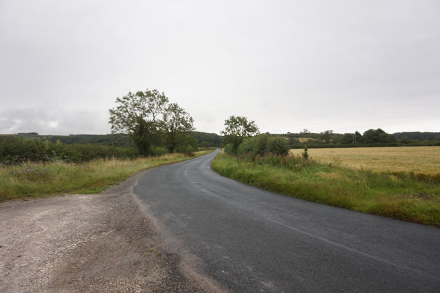
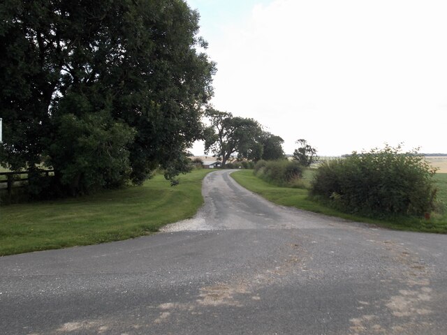
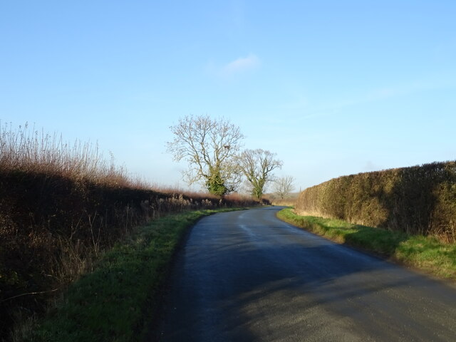
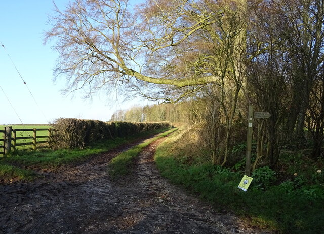
Beck Plantation is a picturesque woodland located in Yorkshire, England. Situated in the heart of the county, this enchanting forest covers an area of approximately 500 acres. The plantation is renowned for its spectacular beauty and tranquil atmosphere, making it a popular destination for nature lovers and outdoor enthusiasts.
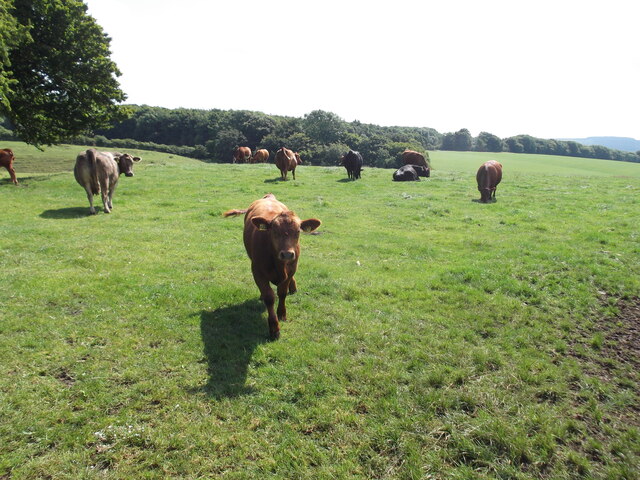
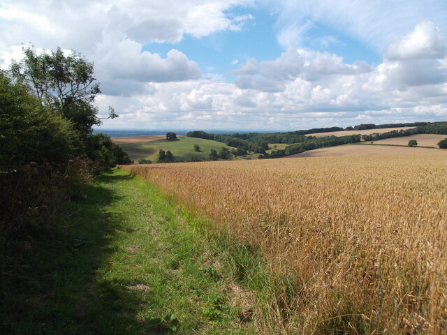
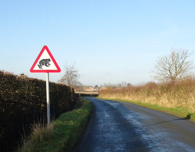
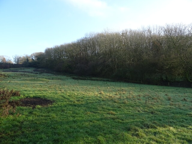
The woodland is characterized by its dense canopy of trees, predominantly consisting of oak, beech, and birch. These towering giants create a haven for an array of wildlife, including deer, rabbits, and a variety of bird species. Walking through the plantation, visitors are treated to a symphony of birdsong and the rustling of leaves underfoot.
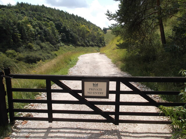
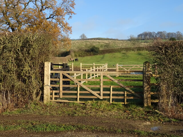
Beck Plantation is crisscrossed by a network of well-maintained trails, allowing visitors to explore the area at their leisure. The trails wind through the forest, leading to hidden glens, babbling brooks, and serene ponds. Along the way, there are numerous benches and picnic spots, providing the perfect opportunity to pause and soak in the natural beauty of the surroundings.
The plantation also boasts a diverse range of flora, with carpets of bluebells and wildflowers adorning the forest floor during the spring months. This burst of color creates a magical ambiance, attracting photographers and nature enthusiasts alike.
Beck Plantation is committed to conservation and sustainability, with ongoing efforts to protect and preserve the delicate ecosystem. It is a haven for those seeking solace in nature, offering a peaceful retreat from the hustle and bustle of everyday life.
If you have any feedback on the listing, please let us know in the comments section below.
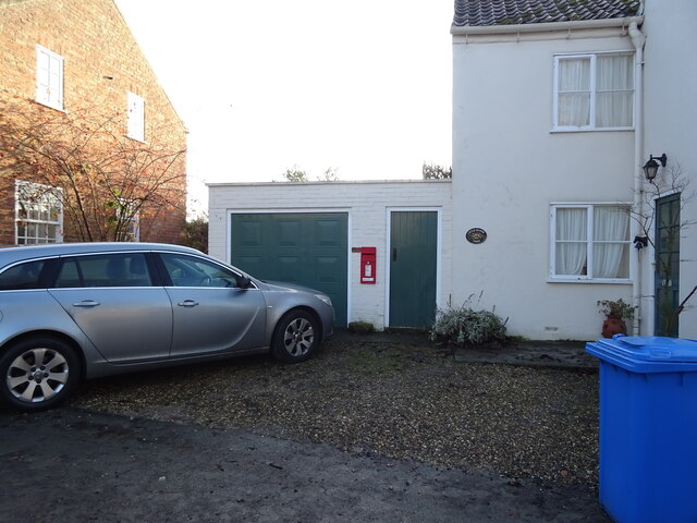
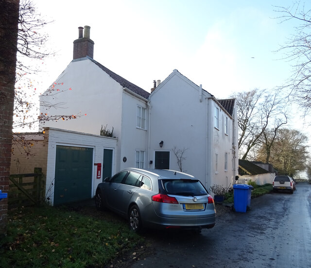
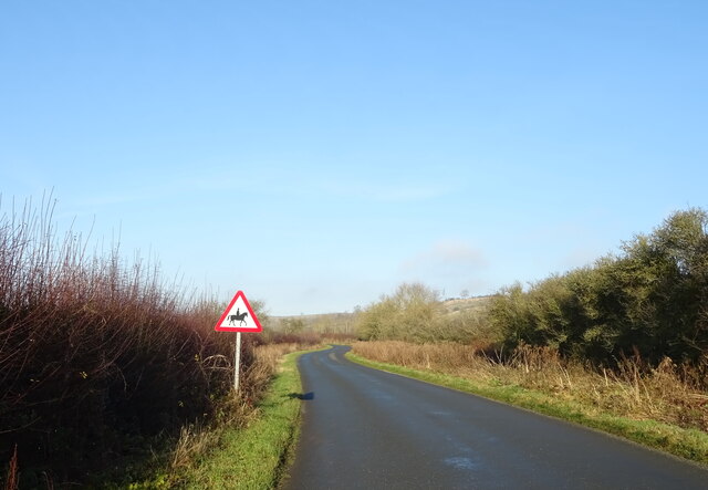
Beck Plantation Images
Images are sourced within 2km of 53.972317/-0.75650025 or Grid Reference SE8153. Thanks to Geograph Open Source API. All images are credited.
Beck Plantation is located at Grid Ref: SE8153 (Lat: 53.972317, Lng: -0.75650025)
Division: East Riding
Unitary Authority: East Riding of Yorkshire
Police Authority: Humberside
What 3 Words
///workshop.voltages.bike. Near Millington, East Yorkshire
Related Wikis

Beckhead Plantation
Beckhead Plantation is a Site of Special Scientific Interest (SSSI) and nature reserve in the East Riding of Yorkshire, England. It is located close to...

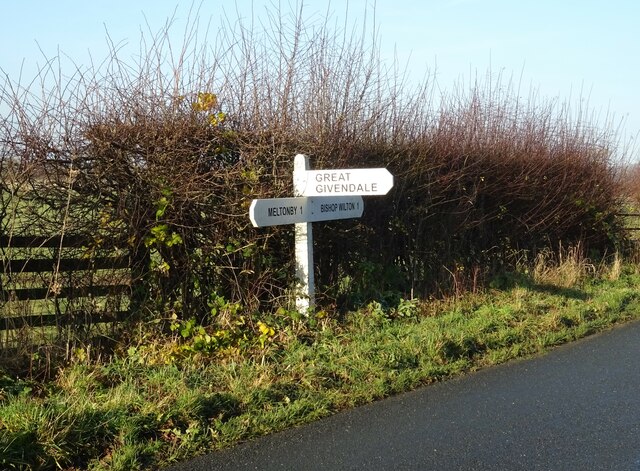
Great Givendale
Great Givendale is a hamlet in the East Riding of Yorkshire, England. It is situated approximately 3 miles (5 km) north of Pocklington. Great Givendale...

Ousethorpe
Ousethorpe is a small hamlet in the East Riding of Yorkshire, England. It is situated approximately 1.5 miles (2.4 km) north of Pocklington. It forms part...

Millington, East Riding of Yorkshire
Millington is a small village and civil parish in the East Riding of Yorkshire, England. It is situated approximately 2 miles (3.2 km) north-east of Pocklington...
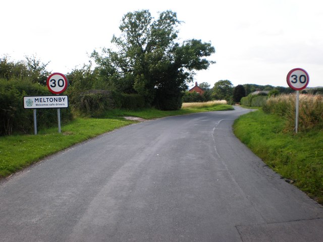
Meltonby
Meltonby is a hamlet in the civil parish of Yapham, in the East Riding of Yorkshire, England. It is situated approximately 2 miles (3.2 km) north of Pocklington...
Bishop Wilton
Bishop Wilton is a small village and civil parish in the East Riding of Yorkshire, England. It is situated approximately 4 miles (6 km) north of Pocklington...

Yapham
Yapham is a village and civil parish in the East Riding of Yorkshire, Northern England. It is situated about 2 miles (3.2 km) north-east of Pocklington...

Bishop Wilton Wold
Bishop Wilton Wold is the highest point of the Yorkshire Wolds in the East Riding of Yorkshire, England. The summit, known as Garrowby Hill, lies about...
Nearby Amenities
Located within 500m of 53.972317,-0.75650025Have you been to Beck Plantation?
Leave your review of Beck Plantation below (or comments, questions and feedback).