Taylor's Copse

Wood, Forest in Hampshire East Hampshire

England

Taylor's Copse

Broxhead Common Pine tree on Broxhead Common.
Broxhead Common consists of 42 hectares of dry heathland and secondary birch/oak woodland. It is designated an SSSI and Local Nature Researve, and is part of the Wealden Heaths Phase II Special Protection Area for the Conservation of Wild Birds. The Common is managed to prevent the encroachment of woodland.
Broxhead Common Credit: BHelas

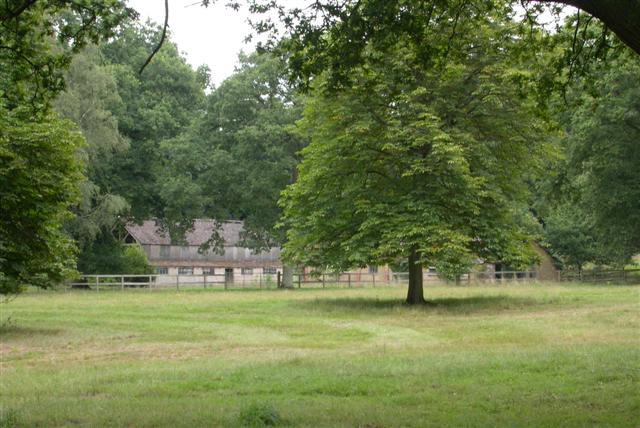
Taylor's Copse is a picturesque woodland located in the county of Hampshire, England. Covering an area of approximately 50 acres, it is nestled within the South Downs National Park, offering visitors a tranquil escape from the bustling city life.

The woodland is characterized by its diverse range of flora and fauna, boasting an array of native tree species such as oak, beech, and birch. These trees create a dense canopy, providing a cool and shaded environment, especially during the hot summer months. The forest floor is carpeted with a rich variety of wildflowers, including bluebells, primroses, and wood anemones, adding bursts of color to the landscape.

Taylor's Copse is renowned for its extensive network of walking trails that wind their way through the forest, allowing visitors to explore its hidden gems. The paths are well-maintained, making it accessible to people of all ages and abilities. Along the way, one can encounter various wildlife species, such as deer, foxes, and a plethora of bird species, making it a haven for nature enthusiasts and birdwatchers alike.

The woodland also features a small pond, which serves as a watering hole for the local wildlife. It is a tranquil spot where visitors can sit and observe the natural ecosystem at work.

Overall, Taylor's Copse is a true natural gem in Hampshire, offering a peaceful retreat for those seeking solace in nature. With its scenic beauty, abundant wildlife, and well-maintained trails, it is a haven for outdoor enthusiasts and a perfect destination for a leisurely stroll or a family picnic.

If you have any feedback on the listing, please let us know in the comments section below.

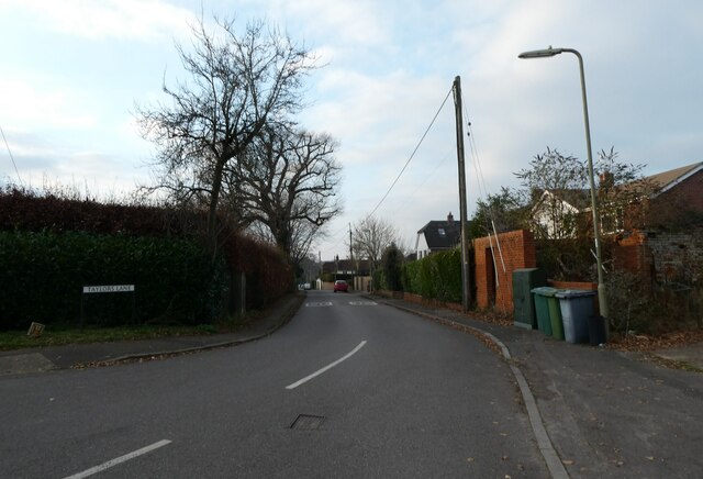
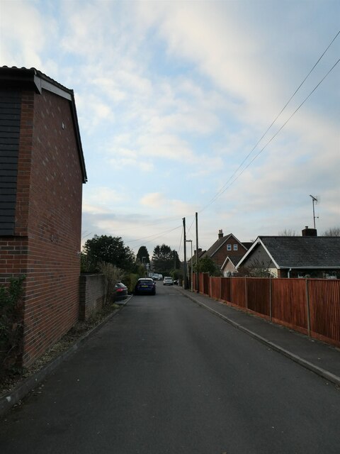
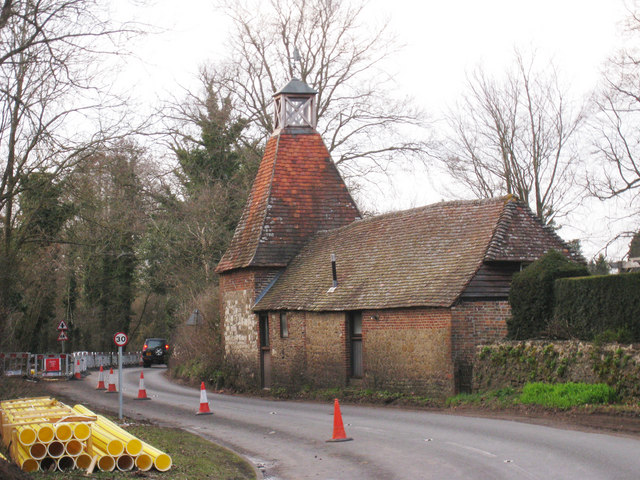
Taylor's Copse Images

Images are sourced within 2km of 51.132638/-0.82992584 or Grid Reference SU8137. Thanks to Geograph Open Source API. All images are credited.

Broxhead Common Pine tree on Broxhead Common.
Broxhead Common consists of 42 hectares of dry heathland and secondary birch/oak woodland. It is designated an SSSI and Local Nature Researve, and is part of the Wealden Heaths Phase II Special Protection Area for the Conservation of Wild Birds. The Common is managed to prevent the encroachment of woodland.
Broxhead Common
Pine tree on Broxhead Common. Broxhead Common consists of 42 hectares of dry heathland and secondary birch/oak woodland. It is designated an SSSI and Local Nature Researve, and is part of the Wealden Heaths Phase II Special Protection Area for the Conservation of Wild Birds. The Common is managed to prevent the encroachment of woodland.
Looking northwards up the Liphook Road
Postbox by Elmfield Court
Looking from Liphook Road into Cricket Lea
Houses in Liphook Road
Looking eastwards along Lindford Wey
Junction of Lindford Wey and Chase Road
Looking from Chase Road into Lindford Wey
Spur in Chase Road
Spur in Chase Road
Looking from Chase Road into Five Acres Close
Looking from Windsor Road into Taylors Lane
Approaching the junction of Windsor Road with Liphook Road
Mini-roundabout in Liphook Road You know that word association game: black-white; Morecambe-Wise; Milton Keynes-roundabouts. A friend of mine supervises Geography dissertations for the University of Portsmouth. He always gives students two actual titles he has rejected: 'Rivers' (too broad) and 'The Roundabouts of Basingstoke' (too narrow)) But where did the idea for an "island", around which traffic could flow, come from? It was a Frenchman. In 1791 the architect and engineer Pierre L'Enfant proposed a number of circular intersections in Washington, D.C.  Fast forward to 1905 and we have New York City's Columbus Circle, widely considered the country's first circular intersection designed for the automotive era.  Known as rotaries, they certainly sped up traffic- but also the number of collisions . Then in 1966 the UK came up with a marvellous idea: this required vehicles entering a circular intersection to yield to those already on it. As to the two countries that started them, France has the highest roundabout ratio with one roundabout for every 45 intersections and the US one roundabout for every 1,118 intersections.
Mini-roundabout in Liphook Road
You know that word association game: black-white; Morecambe-Wise; Milton Keynes-roundabouts. A friend of mine supervises Geography dissertations for the University of Portsmouth. He always gives students two actual titles he has rejected: 'Rivers' (too broad) and 'The Roundabouts of Basingstoke' (too narrow)) But where did the idea for an "island", around which traffic could flow, come from? It was a Frenchman. In 1791 the architect and engineer Pierre L'Enfant proposed a number of circular intersections in Washington, D.C. Fast forward to 1905 and we have New York City's Columbus Circle, widely considered the country's first circular intersection designed for the automotive era. Known as rotaries, they certainly sped up traffic- but also the number of collisions . Then in 1966 the UK came up with a marvellous idea: this required vehicles entering a circular intersection to yield to those already on it. As to the two countries that started them, France has the highest roundabout ratio with one roundabout for every 45 intersections and the US one roundabout for every 1,118 intersections.
Lindford & District Working Mens Club: December 2021 The British social club is a members only facility where like minded people can gather to drink, chat and sometimes be entertained. Many are political but not all. Working men founded them, as did the very top strata of society. From The Drones to the Wheel Tappers & Shunters Social Club, they offer fellowship and conviviality to those who like to 'belong'
Lindford & District Working Mens Club: December 2021
The British social club is a members only facility where like minded people can gather to drink, chat and sometimes be entertained. Many are political but not all. Working men founded them, as did the very top strata of society. From The Drones to the Wheel Tappers & Shunters Social Club, they offer fellowship and conviviality to those who like to 'belong'
Liphook Road- miniroundabout
Mid section of Liphook Road
Looking from Liphook Road into Mount Pleasant Road
Altis, Liphook Road
Altis, Liphook Road
Show me another place!

Taylor's Copse is located at Grid Ref: SU8137 (Lat: 51.132638, Lng: -0.82992584)

Administrative County: Hampshire

District: East Hampshire

Police Authority: Hampshire

What 3 Words

///shun.pocketed.smoke. Near Bordon, Hampshire

Related Wikis

Headley, East Hampshire

Headley is a village and civil parish in the East Hampshire district of Hampshire, England. It is 1.8 miles (2.9 km) east of Bordon on the B3002 road....

Arford

Arford is a village in the East Hampshire district of Hampshire, England, just north of the B3002 road, and is part of the civil parish of Headley. The...

Sleaford, Hampshire

Sleaford in Hampshire, England is a hamlet of Headley Civil Parish and the Northanger Ecclesiastical Benefice. It is in the civil parish of Whitehill...

Lindford, Hampshire

Lindford is a village and civil parish in the East Hampshire district of Hampshire, England. It is approximately 1 mile (1.6 km) northeast of Bordon, and...

Broxhead and Kingsley Commons

Broxhead and Kingsley Commons is a 105.1-hectare (260-acre) biological Site of Special Scientific Interest north of Lindford in Hampshire. It is part of...
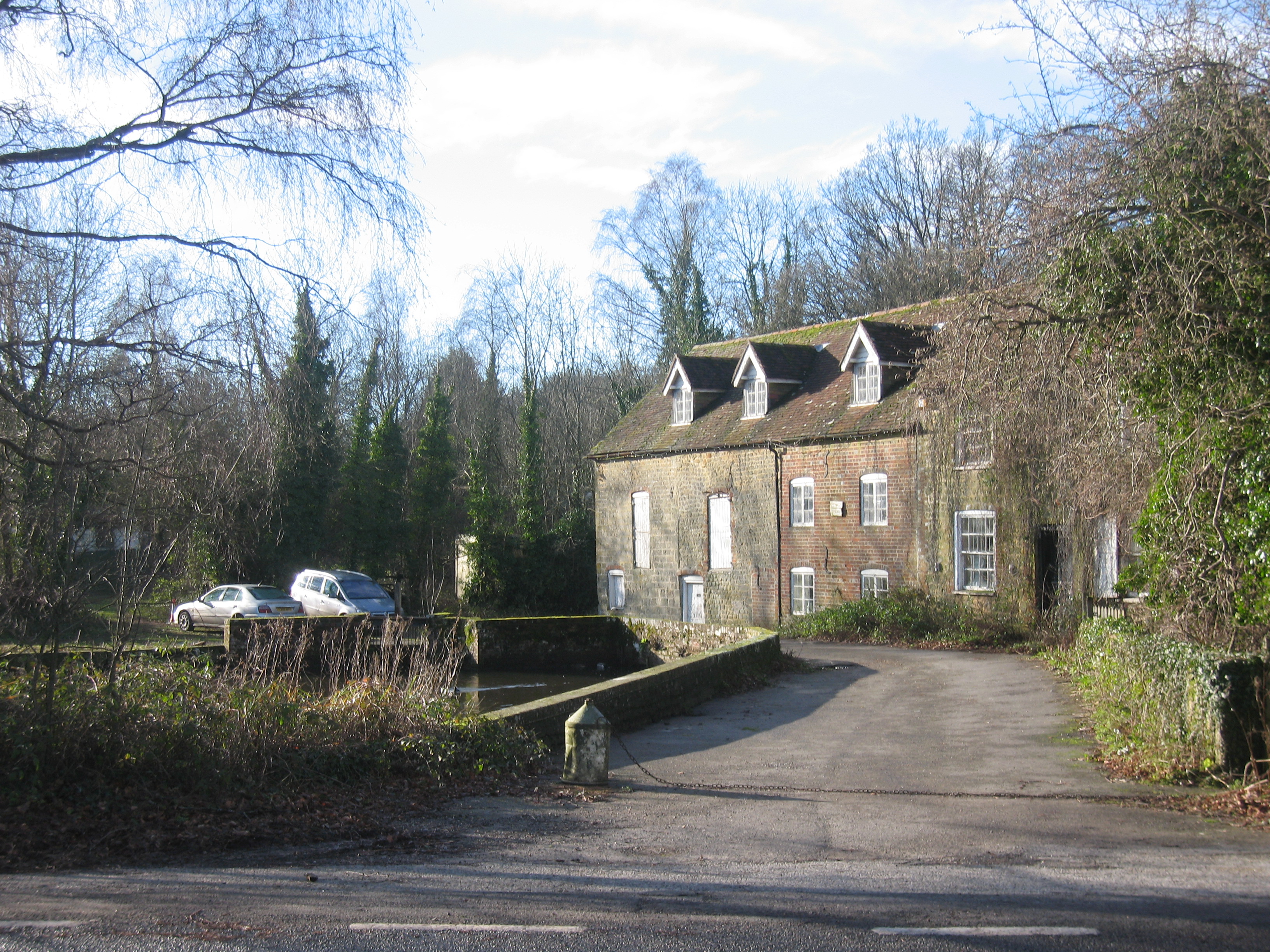
Headley Water Mill

Headley Water Mill is a water mill used for the milling of flour and situated near the village of Headley on the outskirts of the village of Lindford in...

Headley Grange

Headley Grange is a former workhouse in Headley, Hampshire, England. It is a Grade II listed historic building. It is best known for its use as a recording...

Headley Down

Headley Down is a village within the civil parish of Headley in the East Hampshire district of Hampshire, England, bounded on two sides by Ludshott Common...

Nearby Amenities

Located within 500m of 51.132638,-0.82992584
Give Way
Lat/Long: 51.1340658/-0.8233679
Give Way
Lat/Long: 51.1341802/-0.8238048
Give Way
Lat/Long: 51.133559/-0.8237313
Post Box
Collection Times: Mo-Fr 16:15; Sa 09:30
Operator: Royal Mail
Post Box Type: lamp
Ref: GU35 123
Royal Cypher: EIIR
Royal Cypher Wikidata: Q33102113
Lat/Long: 51.1338349/-0.8234926
Prospect Hill Farm
Landuse: farm
Note Retag: CS #48756035
Source: OS_OpenData_StreetView
Lat/Long: 51.1329671/-0.8236521
Bayfields Farm
Landuse: farm
Note Retag: CS #48756035
Source: OS_OpenData_StreetView
Lat/Long: 51.1307858/-0.8240383
Headleywood Farm
Landuse: farm
Note Retag: CS #48756035
Source: OS_OpenData_StreetView
Lat/Long: 51.1300343/-0.8329914
The data included in this document is from www.openstreetmap.org. The data is made available under ODbL.

Have you been to Taylor's Copse?

Leave your review of Taylor's Copse below (or comments, questions and feedback).