Flattymill Dale

Valley in Yorkshire Scarborough

England

Flattymill Dale

Runswick Bay Sailing Club Next to Calais Beck.
Runswick Bay Sailing Club Credit: Ian Rob

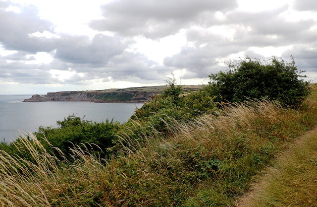
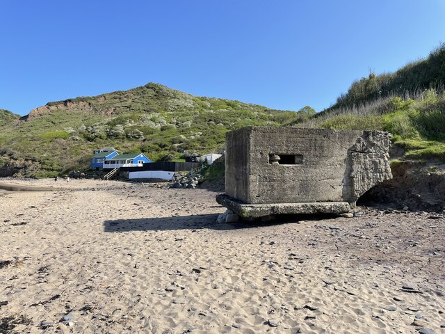
Flattymill Dale is a picturesque valley located in Yorkshire, England. Nestled in the heart of the Yorkshire Dales National Park, this idyllic landscape is known for its breathtaking natural beauty and rich history.

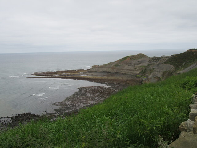
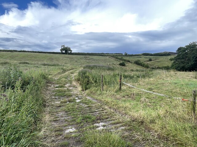
The valley is named after Flattymill, a historic watermill that once stood in the area. Although the mill is no longer operational, its remnants can still be seen, adding a touch of charm to the surroundings. The dale itself is characterized by rolling hills, lush meadows, and meandering streams that flow through the valley, creating a tranquil atmosphere.

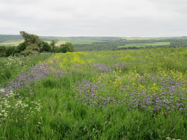
Flattymill Dale is a haven for nature enthusiasts and outdoor lovers. The valley is home to a diverse range of flora and fauna, making it a popular spot for birdwatching and wildlife spotting. Visitors can expect to see a variety of species, including peregrine falcons, red squirrels, and even rare orchids during the appropriate season.

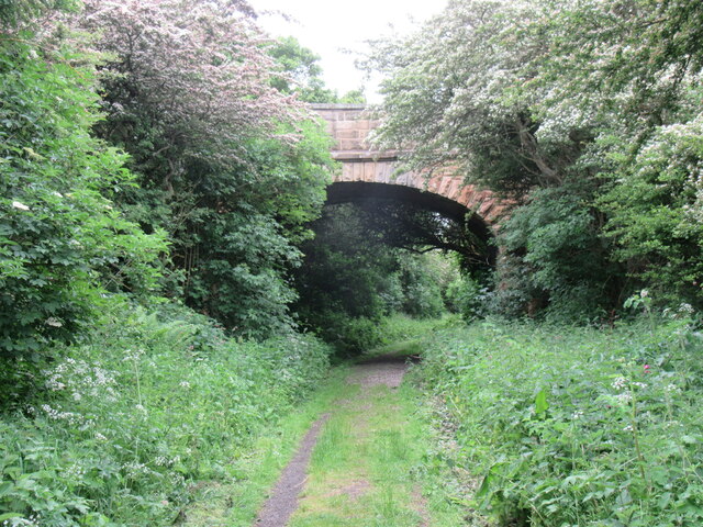
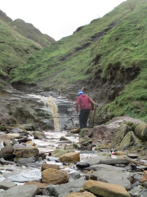
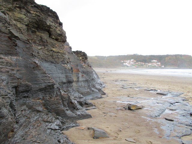
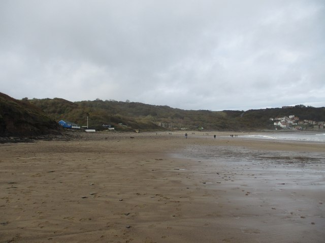
Hiking trails crisscross the valley, offering visitors the opportunity to explore the stunning countryside. The trails vary in difficulty, catering to both seasoned hikers and those seeking a leisurely stroll. Along the way, walkers will be treated to breathtaking vistas of the surrounding landscape, including limestone cliffs and cascading waterfalls.

In addition to its natural beauty, Flattymill Dale also boasts a rich cultural heritage. The valley is dotted with ancient monuments and historic sites, including stone circles and burial mounds, which provide a glimpse into its prehistoric past.

Overall, Flattymill Dale is a hidden gem that offers visitors a chance to escape the hustle and bustle of city life, immersing themselves in the tranquil beauty of the Yorkshire countryside.

If you have any feedback on the listing, please let us know in the comments section below.

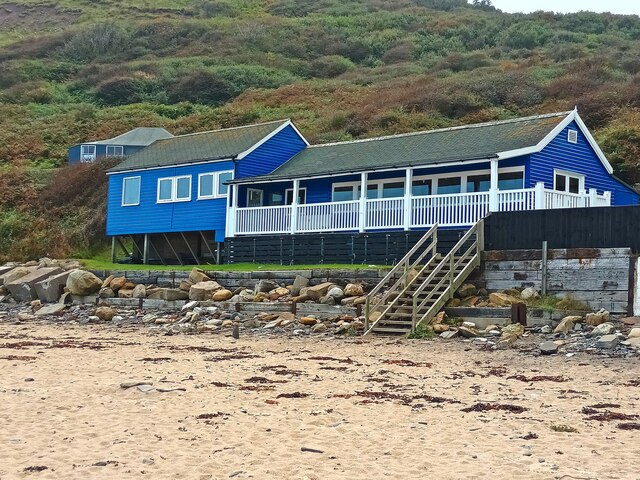
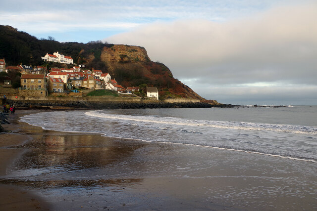
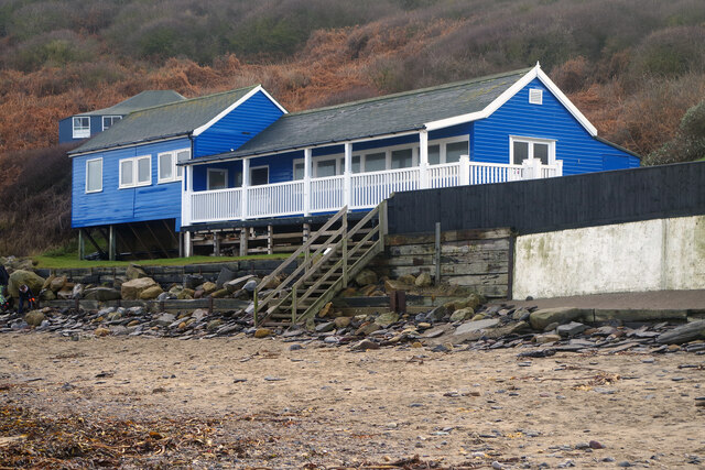
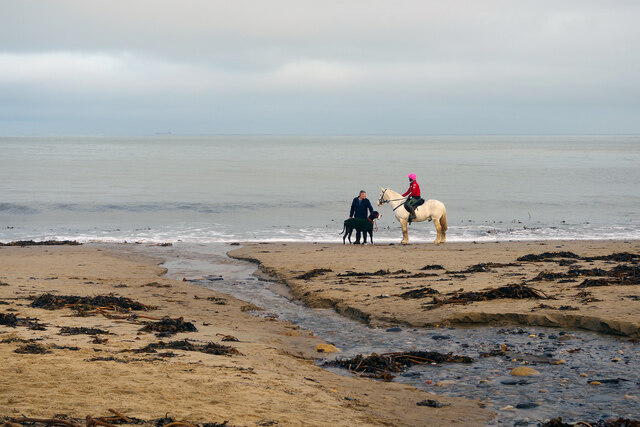
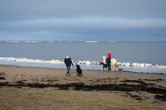
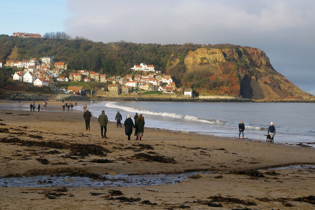
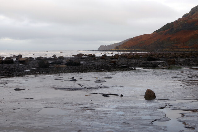
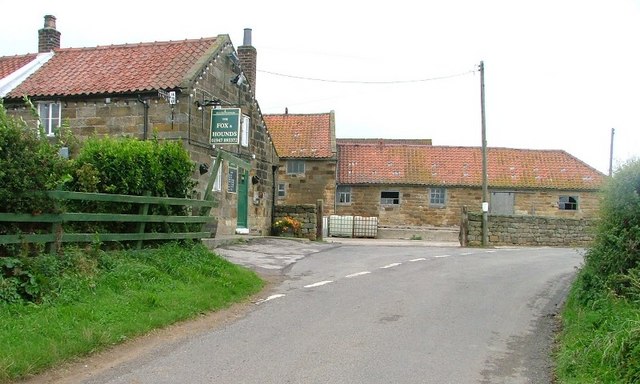
Flattymill Dale Images

Images are sourced within 2km of 54.516559/-0.73596314 or Grid Reference NZ8114. Thanks to Geograph Open Source API. All images are credited.

Runswick Bay Sailing Club Next to Calais Beck.
Runswick Bay Sailing Club
Next to Calais Beck.
Runswick Bay Beach The tide is out making it easy to walk the full length of the beach. Runswick Bay village can be seen in the background.
Runswick Bay Beach
The tide is out making it easy to walk the full length of the beach. Runswick Bay village can be seen in the background.
Runswick Bay Beach and Sailing Club Runswick Bay Sailing Club was formed in 1953, becoming the Beach and Sailing Club in 1998. This is the clubhouse, at the back of the beach about half a mile from the village.
Runswick Bay Beach and Sailing Club
Runswick Bay Sailing Club was formed in 1953, becoming the Beach and Sailing Club in 1998. This is the clubhouse, at the back of the beach about half a mile from the village.
Runswick Bay Beach The water in the foreground comes from the Calais Beck which empties into Runswick Bay here. To the right of that a small horse and a very large dog enjoy themselves on the sand.
Runswick Bay Beach
The water in the foreground comes from the Calais Beck which empties into Runswick Bay here. To the right of that a small horse and a very large dog enjoy themselves on the sand.
Runswick Bay Beach Horses, dogs and people are out and about just after Christmas on this fine beach.
Runswick Bay Beach
Horses, dogs and people are out and about just after Christmas on this fine beach.
Runswick Bay Beach Runswick Bay was named by the Sunday Times as its beach of the year for 2020, describing it as close to perfection. Plenty of people are blowing the Christmas cobwebs off in this view taken the day after Boxing Day. In the background is Runswick Bay village.
Runswick Bay Beach
Runswick Bay was named by the Sunday Times as its beach of the year for 2020, describing it as close to perfection. Plenty of people are blowing the Christmas cobwebs off in this view taken the day after Boxing Day. In the background is Runswick Bay village.
Runswick Bay Beach The sand runs out towards the south-eastern end of the beach, giving way to flat rocks as the coastline heads round towards Kettle Ness.
Runswick Bay Beach
The sand runs out towards the south-eastern end of the beach, giving way to flat rocks as the coastline heads round towards Kettle Ness.
Farmland south of Ellerby
Runswick Bay seen from The Cleveland Way The Cleveland Way runs 110 miles (177 km) between Helmsley and the Brigg at Filey, skirting the North York Moors National Park. Its highest point is at Urra Moor, 1,489 ft (454 m).
Runswick Bay seen from The Cleveland Way
The Cleveland Way runs 110 miles (177 km) between Helmsley and the Brigg at Filey, skirting the North York Moors National Park. Its highest point is at Urra Moor, 1,489 ft (454 m).
An old Pillbox on the beach, Runswick Bay In the background is the club house of the Runswick Bay Beach & Sailing Club.
An old Pillbox on the beach, Runswick Bay
In the background is the club house of the Runswick Bay Beach & Sailing Club.
Near Ellerby Looking north.
Near Ellerby
Looking north.
Dismantled railway line near Kettleness Looking towards Runswick Bay.
Dismantled railway line near Kettleness
Looking towards Runswick Bay.
Near Kettleness Looking towards the old quarries.
Near Kettleness
Looking towards the old quarries.
Near East Barnby Looking south.
Near East Barnby
Looking south.
Ford on the Scarhill Beck This byway ford is found on the Scarhill Beck below Ferndale Farm near West Barnby.
Ford on the Scarhill Beck
This byway ford is found on the Scarhill Beck below Ferndale Farm near West Barnby.
Claymore  Beck  emptying  onto  Runswick  Sands This is also the point where the Cleveland Way and English Coast Path leaves the beach and goes up the side of the beck then takes a cliff path to the left over to Kettleness
Claymore Beck emptying onto Runswick Sands
This is also the point where the Cleveland Way and English Coast Path leaves the beach and goes up the side of the beck then takes a cliff path to the left over to Kettleness
Cliff  face  and  Runswick  Sands Looking along the bay to the village of Runswick Bay
Cliff face and Runswick Sands
Looking along the bay to the village of Runswick Bay
Runswick  Sands  toward  the  village  of  Runswick  Bay The blue building to the left is the Sailing Club
Runswick Sands toward the village of Runswick Bay
The blue building to the left is the Sailing Club
Show me another place!

Flattymill Dale is located at Grid Ref: NZ8114 (Lat: 54.516559, Lng: -0.73596314)

Division: North Riding

Administrative County: North Yorkshire

District: Scarborough

Police Authority: North Yorkshire

What 3 Words

///summaries.servicing.grapes. Near Sleights, North Yorkshire

Related Wikis

RAF Goldsborough

Royal Air Force Goldsborough or more simply RAF Goldsborough is a former Royal Air Force station located in North Yorkshire, England. == History == It...

Hob Holes

The Hob Holes are caves in the cliffs of Runswick Bay, Scarborough, England which resulted from mining for jet – fossilised wood which is valuable as a...

Goldsborough, Scarborough

Goldsborough is a small hamlet in the civil parish of Lythe, North Yorkshire, England within the North York Moors National Park. It is situated a few miles...

Kettleness railway station

Kettleness was a railway station on the Whitby, Redcar and Middlesbrough Union Railway from 1883 to 1958 serving the remote village of Kettleness. The...

Kettleness

Kettleness, is a hamlet in the Scarborough District of North Yorkshire, England. The settlement only consists of half-a-dozen houses, but up until the...

Barnby, North Yorkshire

Barnby is a civil parish in the Scarborough district of North Yorkshire, England. According to the 2001 UK census, the parish had a population of 79....

Ellerby, North Yorkshire

Ellerby is a village and civil parish in the Scarborough district of North Yorkshire, England, located within the North York Moors National Park. According...

Runswick Bay Lifeboat Station

Runswick Bay Lifeboat Station was a Royal National Lifeboat Institution (RNLI) lifeboat station located in Runswick Bay in North Yorkshire, England. The...

Nearby Amenities

Located within 500m of 54.516559,-0.73596314
Power: pole
Source: Bing
Lat/Long: 54.5146212/-0.7321727
Power: pole
Source: Bing
Lat/Long: 54.5146438/-0.7315601
Power: pole
Source: Bing
Lat/Long: 54.5146946/-0.7301789
Power: pole
Source: Bing
Lat/Long: 54.5147164/-0.7325363
Power: pole
Source: Bing
Lat/Long: 54.514785/-0.7336148
Power: pole
Source: Bing
Lat/Long: 54.51488/-0.7351105
Power: pole
Source: Bing
Lat/Long: 54.5149584/-0.7363436
Power: pole
Source: Bing
Lat/Long: 54.5150363/-0.737568
Power: pole
Source: Bing
Lat/Long: 54.5151171/-0.7388397
Power: pole
Source: Bing
Lat/Long: 54.5152022/-0.7401789
Power: pole
Source: Bing
Lat/Long: 54.5153044/-0.741786
The data included in this document is from www.openstreetmap.org. The data is made available under ODbL.

Have you been to Flattymill Dale?

Leave your review of Flattymill Dale below (or comments, questions and feedback).