Aldernbridge Gully
Valley in Berkshire
England
Aldernbridge Gully
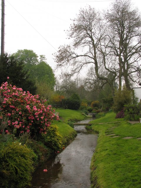
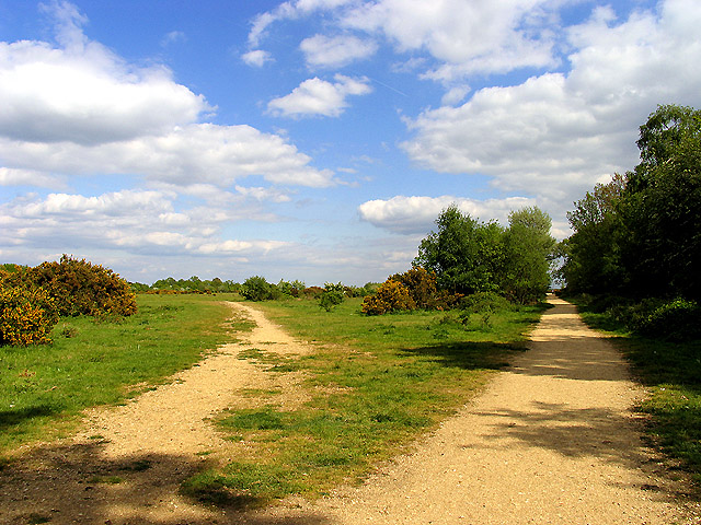
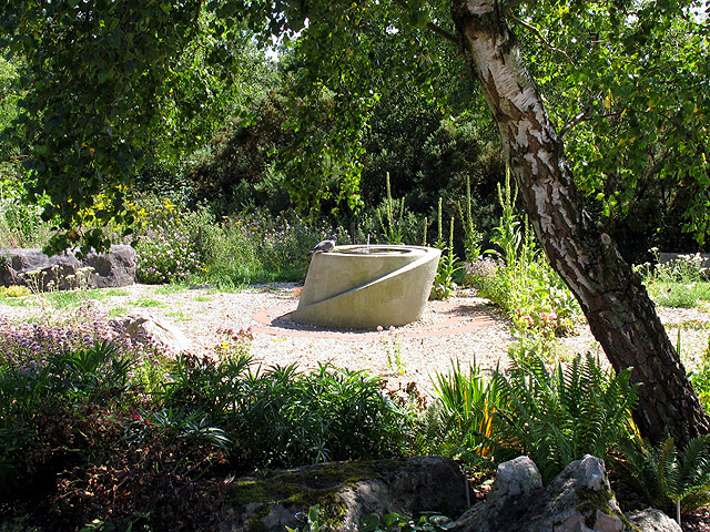
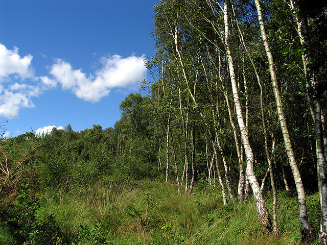
Aldernbridge Gully, located in Berkshire, England, is a picturesque valley renowned for its natural beauty and tranquil surroundings. Stretching over several acres, this gully is nestled amidst rolling hills and lush greenery, making it an ideal destination for nature enthusiasts and hikers alike.
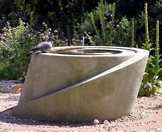
The gully is characterized by a meandering stream that flows through its heart, creating a soothing ambiance with its gentle babbling. The stream is home to a diverse array of aquatic life, including small fish and amphibians, creating a vibrant ecosystem within the gully.
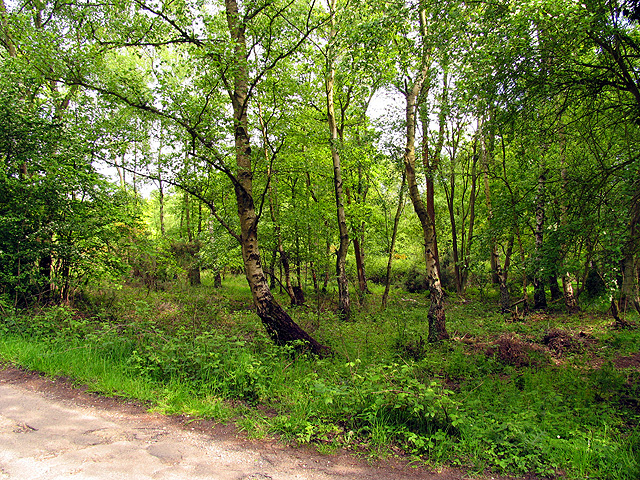
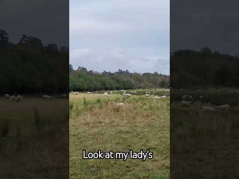
The valley itself is covered in a dense canopy of trees, predominantly consisting of oak, beech, and birch. These towering trees provide shelter to an abundance of wildlife, including various species of birds, squirrels, and foxes. The sounds of chirping birds and rustling leaves add to the tranquility of the surroundings, making it a haven for birdwatchers and wildlife enthusiasts.
A network of well-maintained trails crisscrosses the gully, allowing visitors to explore its beauty at their own pace. The trails offer breathtaking panoramic views of the surrounding countryside, with rolling hills and valleys stretching as far as the eye can see.
Aldernbridge Gully is also home to a rich history, with archaeological evidence suggesting human habitation in the area dating back several centuries. Ancient burial mounds and remnants of prehistoric settlements have been discovered, adding to the allure of this enchanting valley.
Overall, Aldernbridge Gully in Berkshire offers a serene escape from the hustle and bustle of daily life, providing visitors with an opportunity to immerse themselves in the wonders of nature and uncover the secrets of the past.
If you have any feedback on the listing, please let us know in the comments section below.
Aldernbridge Gully Images
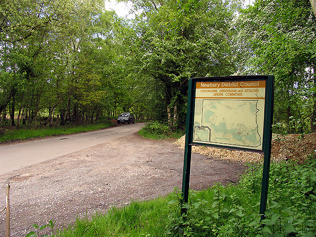
Images are sourced within 2km of 51.374998/-1.2969608 or Grid Reference SU4964. Thanks to Geograph Open Source API. All images are credited.

Aldernbridge Gully is located at Grid Ref: SU4964 (Lat: 51.374998, Lng: -1.2969608)
Unitary Authority: West Berkshire
Police Authority: Thames Valley
What 3 Words
///deprives.bloomers.digital. Near Greenham, Berkshire
Nearby Locations
Related Wikis

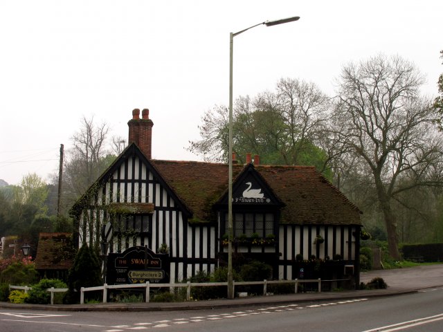
Aldern Bridge
Aldern Bridge is a hamlet in Hampshire, United Kingdom. The settlement is within the civil parish of Burghclere, and is located approximately 2.3 miles...
Adbury
Adbury is a village in Hampshire, United Kingdom. The settlement is within the civil parish of Burghclere, and is located approximately 2.5 miles (4.0...

Greenham
Greenham is a village and civil parish in Berkshire, England. Greenham commences immediately south-east of Newbury and is in West Berkshire. It was recorded...
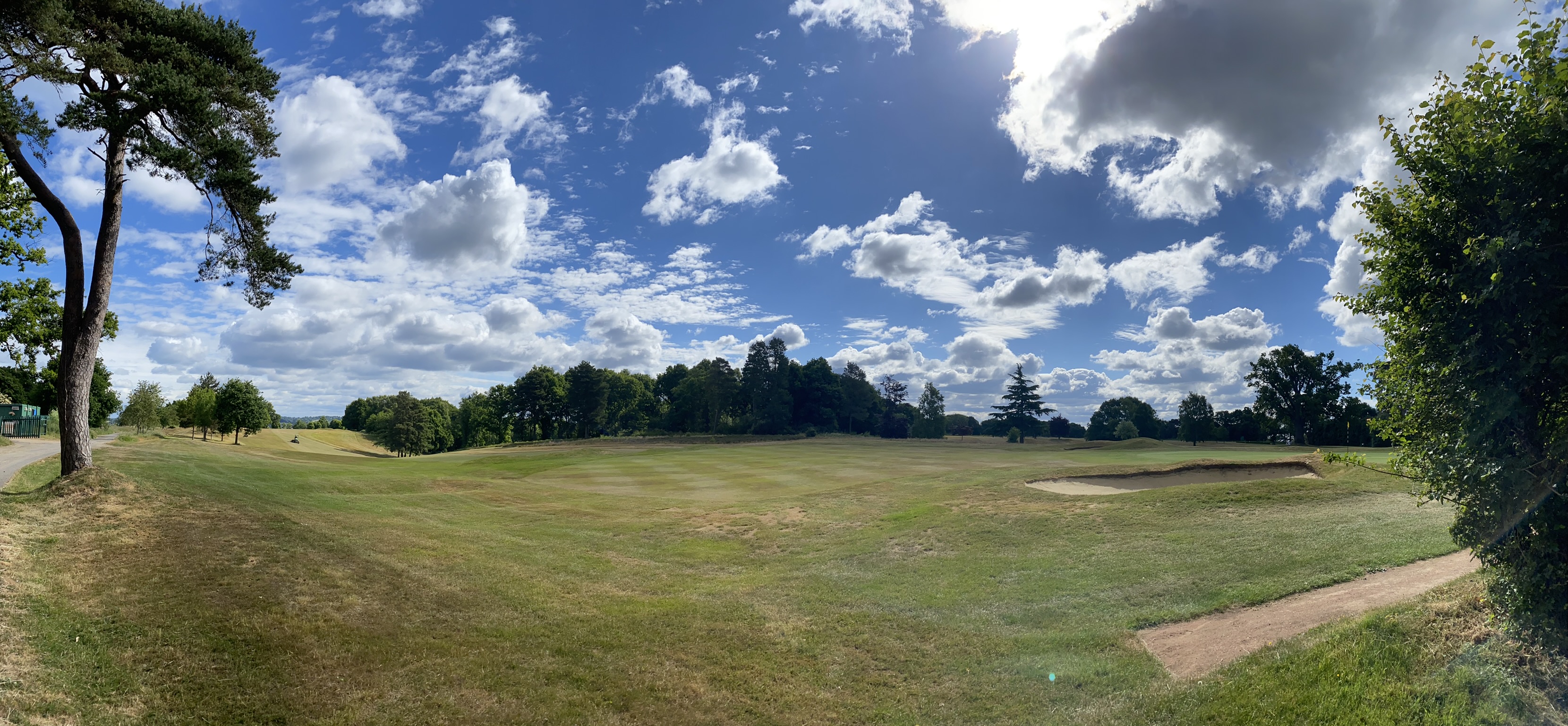
Newbury & Crookham Golf Club
Newbury & Crookham Golf Club is located about two miles from the centre of Newbury, Berkshire on the fringes of Greenham Common. The Club is the result...

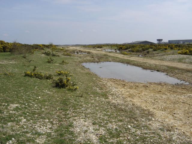
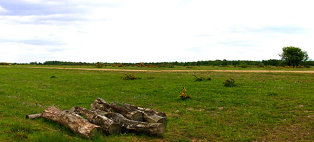
Greenham and Crookham Commons
Greenham and Crookham Commons are two adjoining public park areas of 280.5-hectare (693-acre) common land designated as a biological Site of Special Scientific...
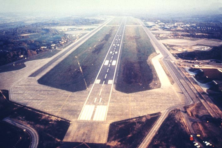
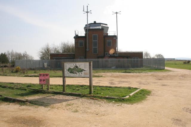
RAF Greenham Common
Royal Air Force Greenham Common or more simply RAF Greenham Common is a former Royal Air Force station in the civil parishes of Greenham and Thatcham in...
Greenham Preceptory
Greenham Preceptory was a preceptory of Knights Hospitaller at Greenham in the English county of Berkshire.The preceptory was established in 1199 and dissolved...

Newtown, Hampshire
Newtown is a village and civil parish in the English county of Hampshire, about 1+1⁄2 miles (2.4 km) south of Newbury, Berkshire. == History == In the...
Related Videos

Walking Through a Victorian Christmas Fayre in Newbury, United Kingdom
Join me walking around the Victorian Christmas Fayre in Newbury, Berkshire. We pass street entertainers, Christmas lights, ...

Newbury Walking Tour
Newbury is a market town in the county of Berkshire, England, which is home to the administrative headquarters of West Berkshire ...
Nearby Amenities
Located within 500m of 51.374998,-1.2969608Have you been to Aldernbridge Gully?
Leave your review of Aldernbridge Gully below (or comments, questions and feedback).