Greenham Common
Downs, Moorland in Berkshire
England
Greenham Common
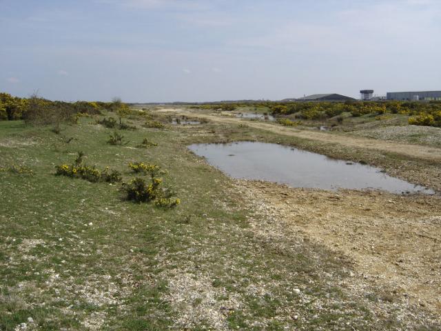
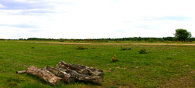
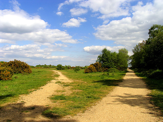
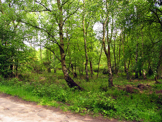
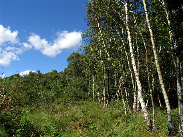
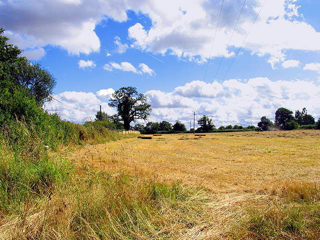
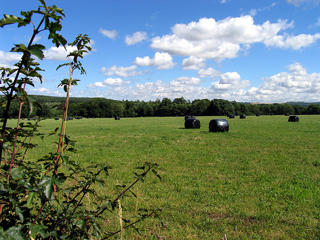
Greenham Common is a large expanse of common land located in Berkshire, England. It covers an area of approximately 1,000 acres and is situated on the outskirts of the village of Greenham, near Newbury. The common is characterized by its diverse landscape, consisting of rolling hills, open moorland, and pockets of woodland.
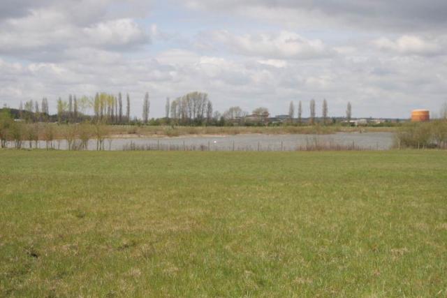
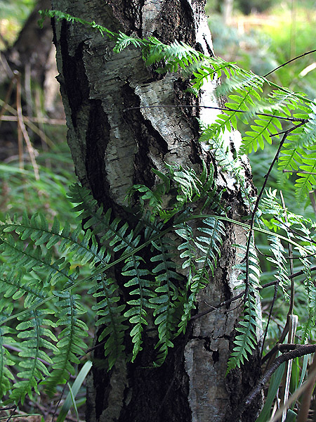
Greenham Common is known for its rich biodiversity, hosting a variety of plant and animal species. The common is home to several rare and protected species, including the Dartford warbler, silver-studded blue butterfly, and sand lizard. It also boasts a diverse range of habitats, including heathland, acid grassland, and wetlands, which support this vibrant ecosystem.
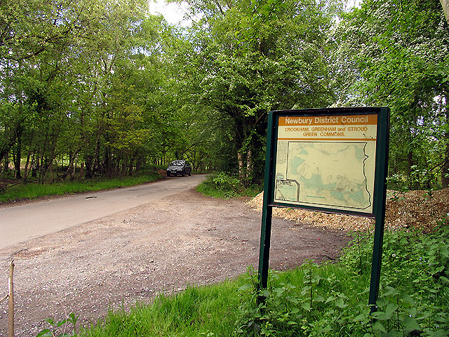
Historically, Greenham Common was used for grazing livestock, and evidence of this can still be seen today in the form of old droveways and traditional dry-stone walls. However, the common gained international attention in the 1980s when it became the site of a major protest against the placement of nuclear weapons. The area was occupied by peace activists who set up a women's peace camp, which remained in place for nearly twenty years.
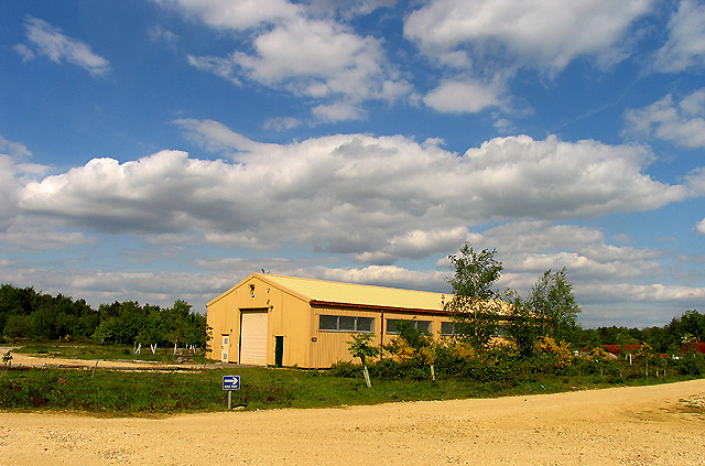
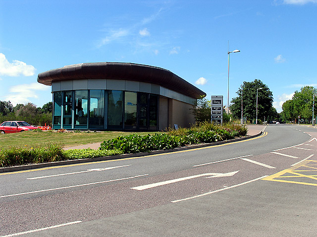
Today, Greenham Common is managed by the local council and serves as a recreational space for the public. It offers numerous walking trails and cycling routes, providing visitors with the opportunity to explore its natural beauty. The common is also home to a golf course, a nature reserve, and a small cafe, making it a popular destination for both locals and tourists alike.
If you have any feedback on the listing, please let us know in the comments section below.
Greenham Common Images
Images are sourced within 2km of 51.377045/-1.2935387 or Grid Reference SU4964. Thanks to Geograph Open Source API. All images are credited.
Greenham Common is located at Grid Ref: SU4964 (Lat: 51.377045, Lng: -1.2935387)
Unitary Authority: West Berkshire
Police Authority: Thames Valley
What 3 Words
///anyway.spike.fonts. Near Greenham, Berkshire
Nearby Locations
Related Wikis
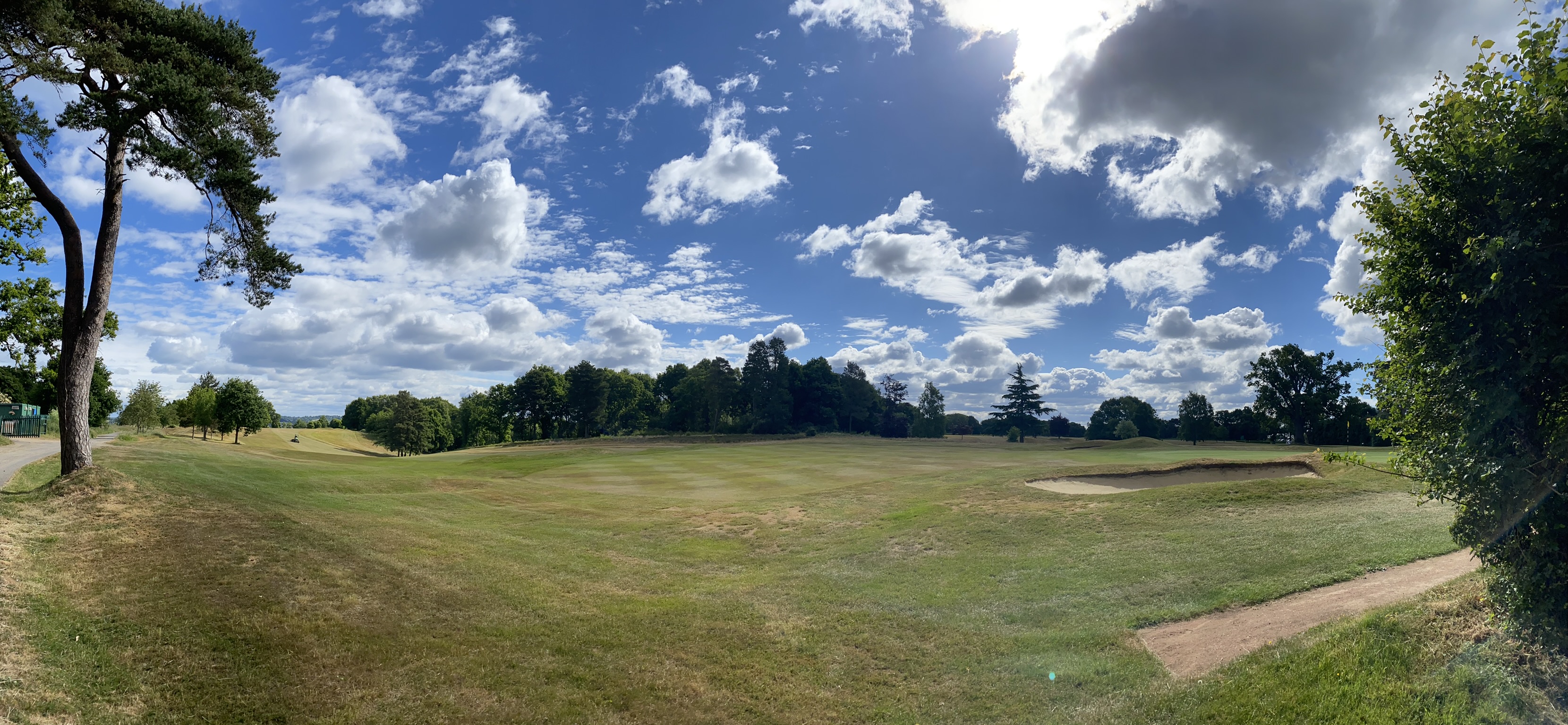
Newbury & Crookham Golf Club
Newbury & Crookham Golf Club is located about two miles from the centre of Newbury, Berkshire on the fringes of Greenham Common. The Club is the result...

Aldern Bridge
Aldern Bridge is a hamlet in Hampshire, United Kingdom. The settlement is within the civil parish of Burghclere, and is located approximately 2.3 miles...
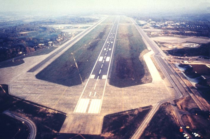
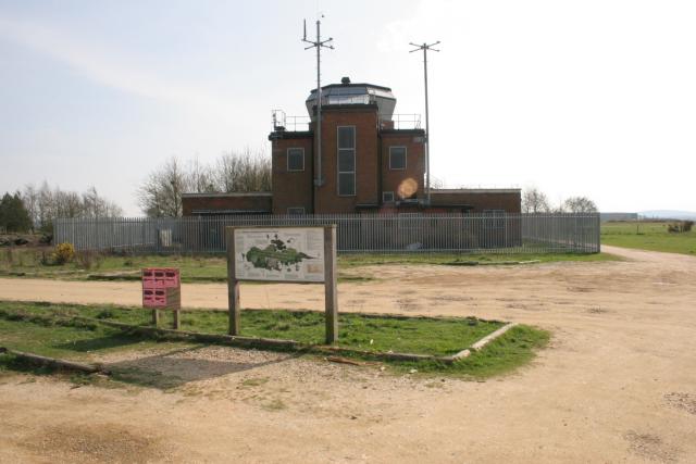
RAF Greenham Common
Royal Air Force Greenham Common or more simply RAF Greenham Common is a former Royal Air Force station in the civil parishes of Greenham and Thatcham in...

Greenham and Crookham Commons
Greenham and Crookham Commons are two adjoining public park areas of 280.5-hectare (693-acre) common land designated as a biological Site of Special Scientific...
Nearby Amenities
Located within 500m of 51.377045,-1.2935387Have you been to Greenham Common?
Leave your review of Greenham Common below (or comments, questions and feedback).