Peaked Hill
Hill, Mountain in Berkshire
England
Peaked Hill
Peaked Hill is a prominent hill located in the Berkshire region of Massachusetts, United States. Standing at an elevation of approximately 1,200 feet (366 meters), it offers breathtaking views of the surrounding landscape. The hill is situated in the town of Richmond, about 10 miles west of Pittsfield.
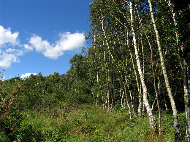
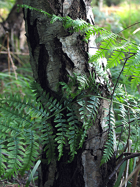
Peaked Hill is characterized by its gentle slopes covered with dense forests, predominantly consisting of hardwood trees such as oak and maple. The hill's summit is marked by a rocky outcrop, providing hikers and nature enthusiasts with a perfect vantage point to admire the picturesque scenery of the Berkshires.
The hill is a popular destination for outdoor activities, including hiking and birdwatching. Several well-maintained trails wind their way through the hill, offering visitors the opportunity to explore the diverse flora and fauna that call this area home. Wildlife sightings are common, with deer, squirrels, and various bird species often spotted along the trails.
Peaked Hill also holds historical significance. It was once home to Native American tribes, who utilized the area for hunting and gathering. Evidence of their presence, such as stone tools and pottery fragments, has been discovered in the vicinity.
Overall, Peaked Hill is a natural gem within the Berkshires, offering visitors a chance to connect with nature, enjoy stunning vistas, and immerse themselves in the rich history of the region.
If you have any feedback on the listing, please let us know in the comments section below.
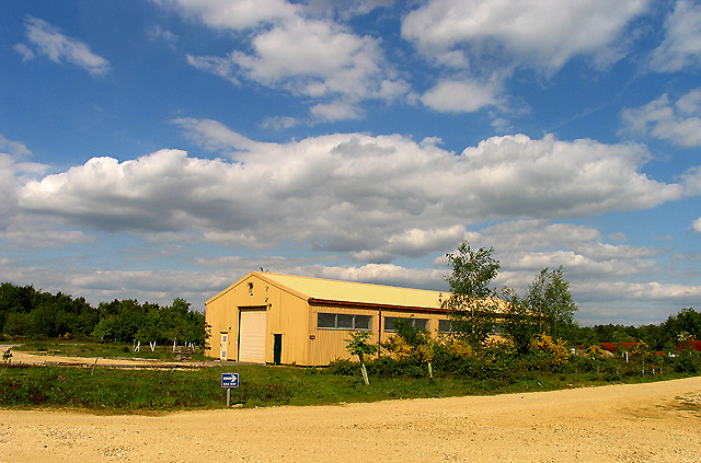
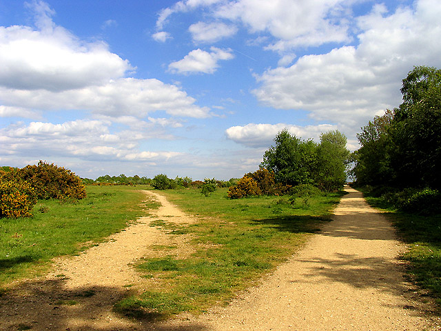
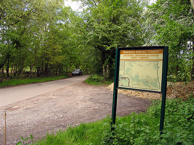
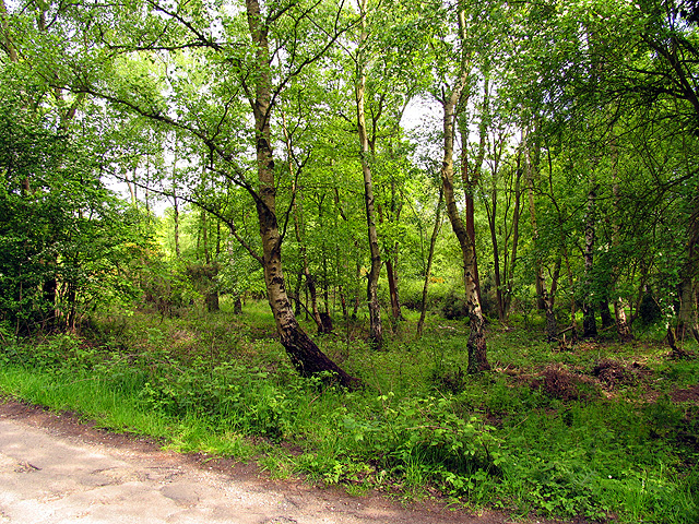
Peaked Hill Images
Images are sourced within 2km of 51.374836/-1.2895643 or Grid Reference SU4964. Thanks to Geograph Open Source API. All images are credited.


Peaked Hill is located at Grid Ref: SU4964 (Lat: 51.374836, Lng: -1.2895643)
Unitary Authority: West Berkshire
Police Authority: Thames Valley
What 3 Words
///runways.perplexed.utensil. Near Greenham, Berkshire
Nearby Locations
Related Wikis

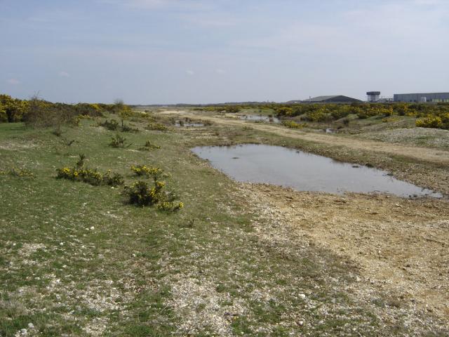
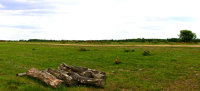
Greenham and Crookham Commons
Greenham and Crookham Commons are two adjoining public park areas of 280.5-hectare (693-acre) common land designated as a biological Site of Special Scientific...
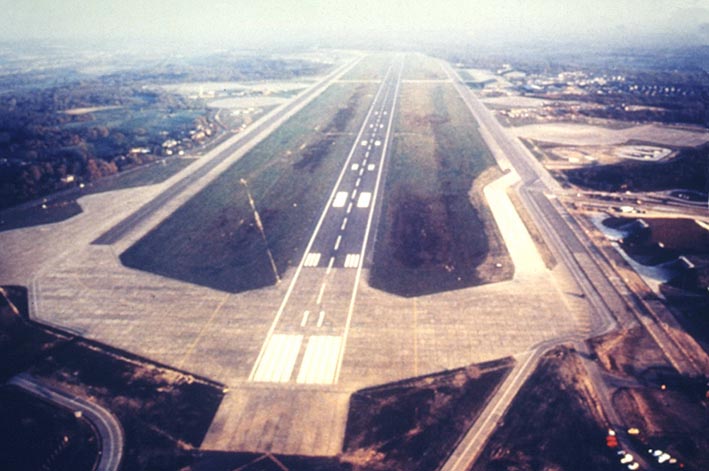
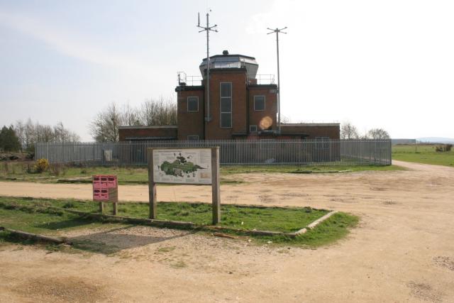
RAF Greenham Common
Royal Air Force Greenham Common or more simply RAF Greenham Common is a former Royal Air Force station in the civil parishes of Greenham and Thatcham in...

Aldern Bridge
Aldern Bridge is a hamlet in Hampshire, United Kingdom. The settlement is within the civil parish of Burghclere, and is located approximately 2.3 miles...
Greenham Preceptory
Greenham Preceptory was a preceptory of Knights Hospitaller at Greenham in the English county of Berkshire.The preceptory was established in 1199 and dissolved...
Related Videos
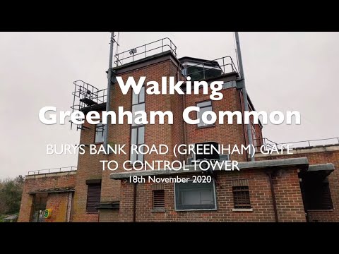
Walking Greenham Common: Bury's Band Road (Greenham) Gate to Control Tower. 4K (2160p)
As per my previous walking video, this again is a walk on Greenham Common, which is located to the south of Newbury in West ...

Walking Greenham Common: Sandleford Gate to Fireplane. 4K (2160p)
Greenham Common, to the south of Newbury in West Berkshire, is a former RAF base which was also used by the USAF during ...

Newbury, Berkshire, Reading FC, England - December 2023
My fourth solo travel was a 4 night trip to in Newbury for Christmas. I travelled by car to spend a few nights at a booking.com ...

Visit to 4 Kingdom
Royal British Legion invited us to visit 4 Kingdom on 16 Jul 22. Thank you Royal British Legion for free ticket for 4. We enjoyed the ...
Nearby Amenities
Located within 500m of 51.374836,-1.2895643Have you been to Peaked Hill?
Leave your review of Peaked Hill below (or comments, questions and feedback).