Ballshill Gully
Valley in Berkshire
England
Ballshill Gully
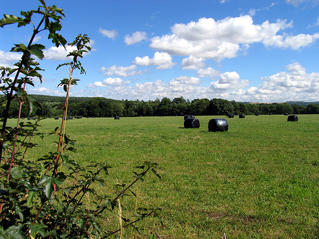
Ballshill Gully, located in Berkshire, is a picturesque valley nestled in the heart of the English countryside. Situated in the southern part of the county, this enchanting gully is known for its stunning natural beauty and diverse wildlife.
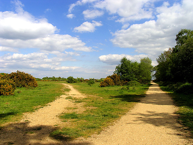
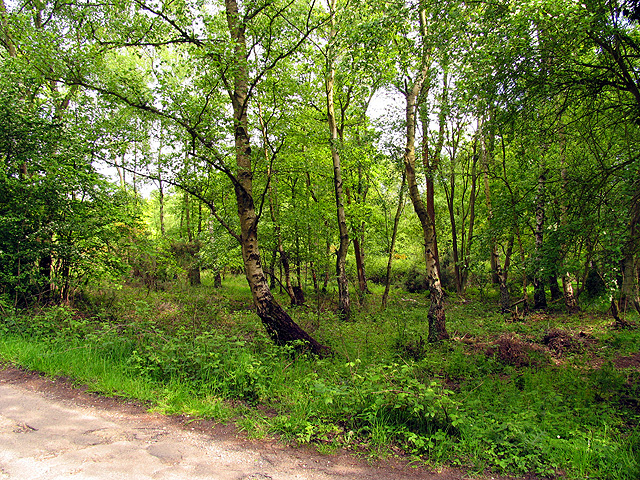
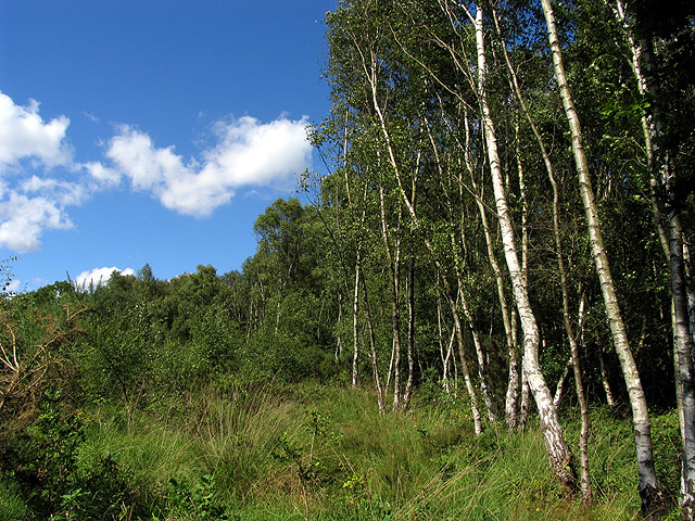
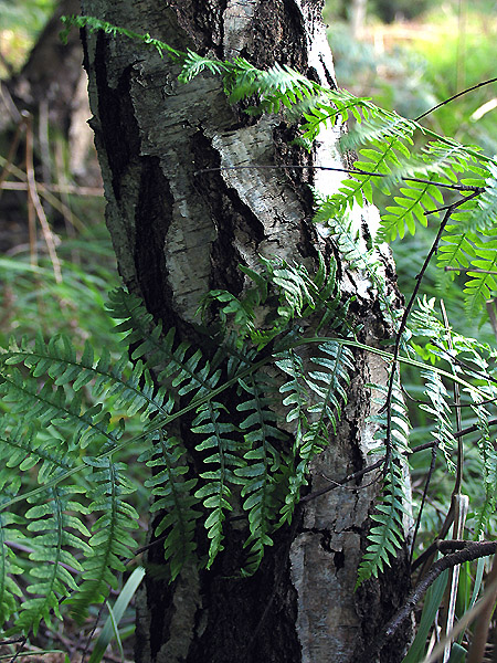
The gully is characterized by its steep sides and lush vegetation, creating a verdant oasis in an otherwise rural landscape. The valley is primarily covered in dense woodland, with a variety of native tree species including oak, beech, and hawthorn. These trees provide a habitat for numerous bird species, such as woodpeckers, thrushes, and owls, making it a popular spot for birdwatchers and nature enthusiasts.
The gully is traversed by a small stream, which meanders through the valley, adding to its charm and serenity. The stream is home to a variety of aquatic life, including trout and water insects, further enhancing the ecological diversity of the area.
Ballshill Gully offers several walking trails that wind through its captivating scenery, providing visitors with a chance to explore and appreciate the natural wonders it has to offer. The trails vary in difficulty, catering to both casual strollers and experienced hikers.
In addition to its natural beauty, Ballshill Gully also boasts a rich history. The area has witnessed human activity dating back centuries, with evidence of ancient settlements and agricultural practices. Archaeological artifacts have been discovered in the vicinity, shedding light on the lives of those who inhabited the area in the past.
Overall, Ballshill Gully is a tranquil and idyllic destination, offering a unique combination of natural beauty, wildlife, and historical significance. It is a hidden gem in the Berkshire countryside, inviting visitors to immerse themselves in its enchanting atmosphere.
If you have any feedback on the listing, please let us know in the comments section below.
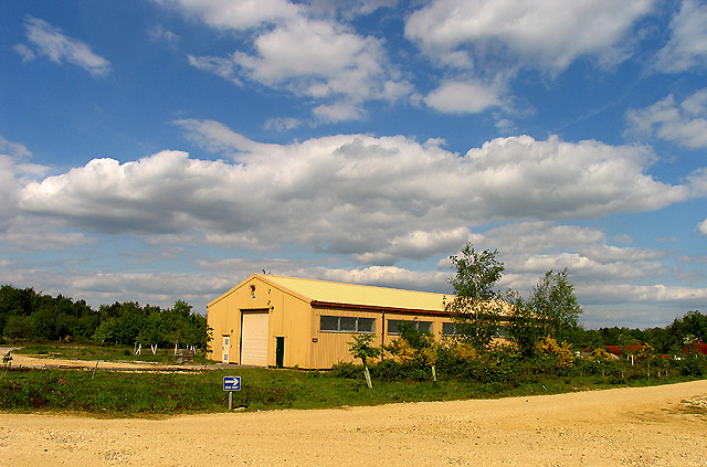
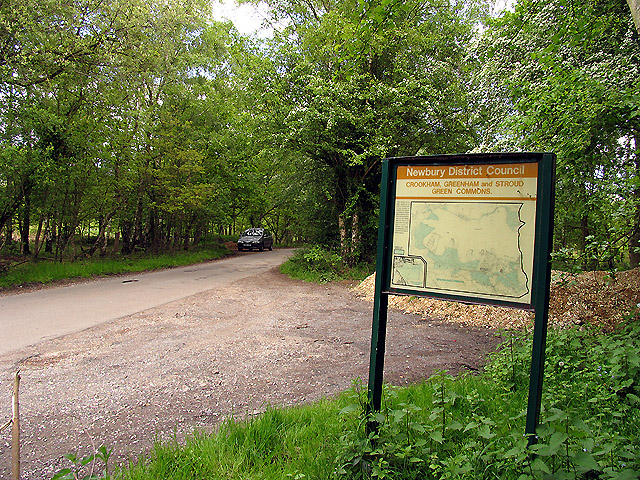
Ballshill Gully Images
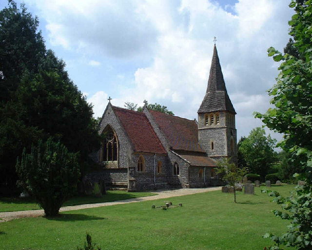
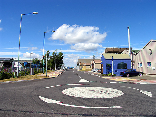
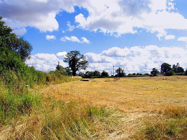
Images are sourced within 2km of 51.3746/-1.2905593 or Grid Reference SU4964. Thanks to Geograph Open Source API. All images are credited.

Ballshill Gully is located at Grid Ref: SU4964 (Lat: 51.3746, Lng: -1.2905593)
Unitary Authority: West Berkshire
Police Authority: Thames Valley
What 3 Words
///requests.presides.pebbles. Near Greenham, Berkshire
Nearby Locations
Related Wikis

Aldern Bridge
Aldern Bridge is a hamlet in Hampshire, United Kingdom. The settlement is within the civil parish of Burghclere, and is located approximately 2.3 miles...

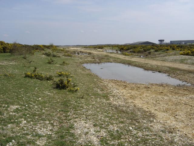
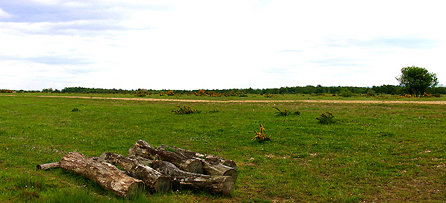
Greenham and Crookham Commons
Greenham and Crookham Commons are two adjoining public park areas of 280.5-hectare (693-acre) common land designated as a biological Site of Special Scientific...
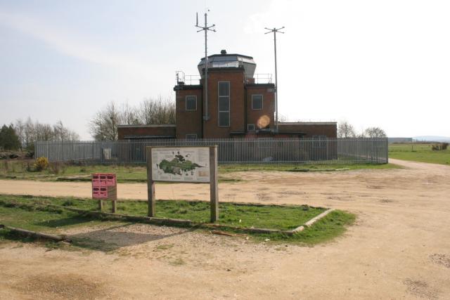
RAF Greenham Common
Royal Air Force Greenham Common or more simply RAF Greenham Common is a former Royal Air Force station in the civil parishes of Greenham and Thatcham in...
Greenham Preceptory
Greenham Preceptory was a preceptory of Knights Hospitaller at Greenham in the English county of Berkshire.The preceptory was established in 1199 and dissolved...
Nearby Amenities
Located within 500m of 51.3746,-1.2905593Have you been to Ballshill Gully?
Leave your review of Ballshill Gully below (or comments, questions and feedback).