Handpost Gully
Valley in Berkshire
England
Handpost Gully
Handpost Gully, located in Berkshire, England, is a picturesque and serene valley surrounded by rolling hills and lush greenery. Situated on the outskirts of a small village, this hidden gem offers a tranquil escape from the hustle and bustle of city life.
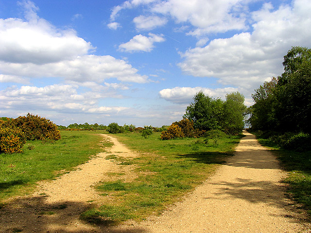
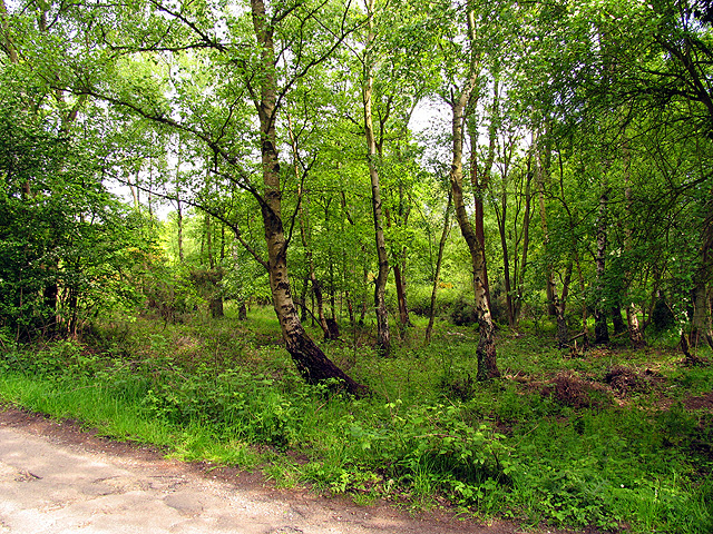
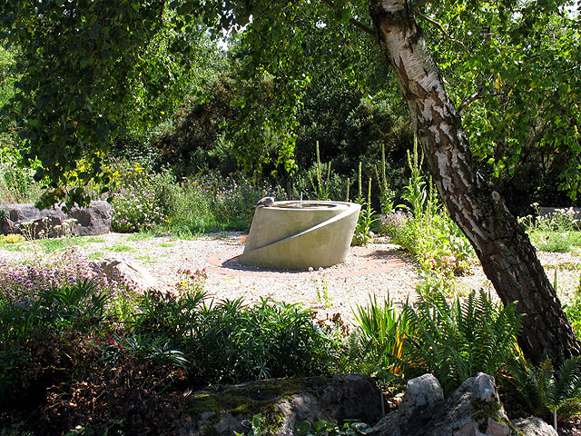
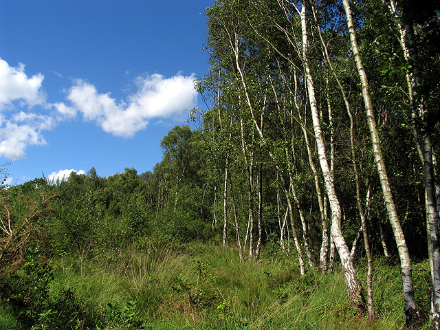
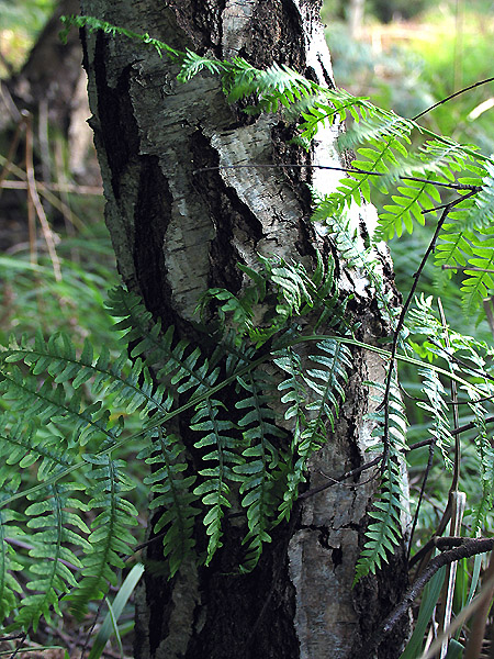
The gully itself is formed by a small stream that meanders through the valley, creating a calming atmosphere with the gentle sound of flowing water. Tall trees line the banks of the stream, providing shade and adding to the overall beauty of the area. The valley floor is covered with wildflowers during the spring and summer months, creating a colorful and vibrant landscape.
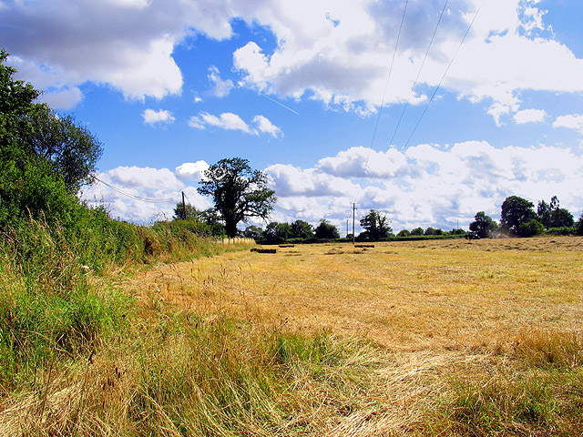
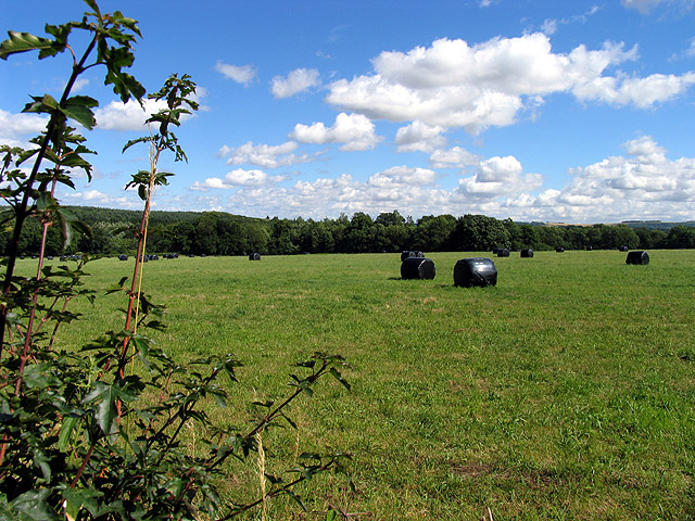
The gully is a popular spot for nature enthusiasts and hikers, offering a range of walking trails that wind through the valley and up into the surrounding hills. These trails provide stunning panoramic views of the Berkshire countryside, making them a favorite among both locals and visitors alike.
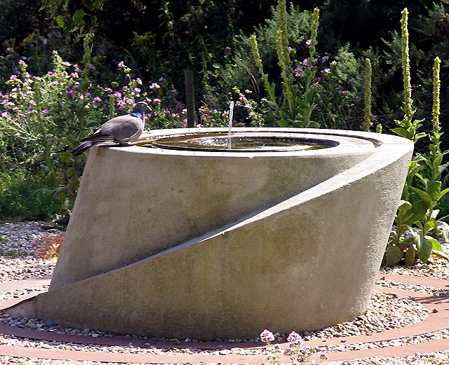
Wildlife thrives in Handpost Gully, with a variety of bird species, small mammals, and insects calling the area home. It is not uncommon to spot deer grazing in the fields or hear the melodic songs of birds echoing through the trees.
Overall, Handpost Gully is a tranquil and idyllic valley in Berkshire, offering a peaceful retreat for those seeking a connection with nature. Its natural beauty and diverse wildlife make it a must-visit destination for anyone looking to explore the charm of the English countryside.
If you have any feedback on the listing, please let us know in the comments section below.
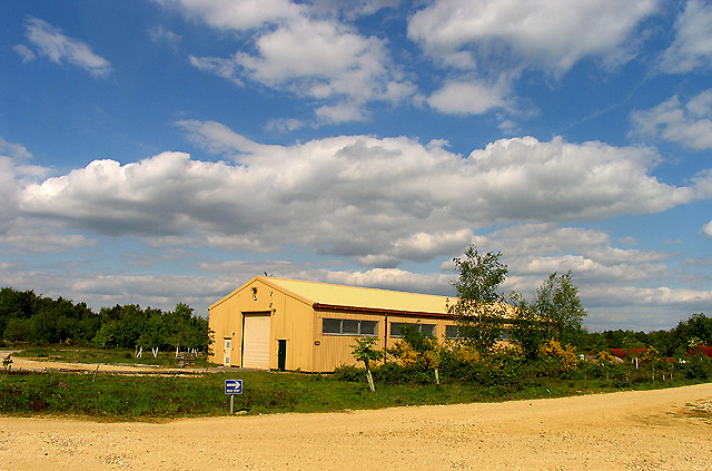
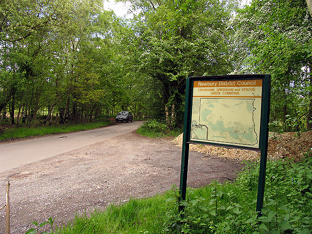
Handpost Gully Images
Images are sourced within 2km of 51.374538/-1.2878449 or Grid Reference SU4964. Thanks to Geograph Open Source API. All images are credited.


Handpost Gully is located at Grid Ref: SU4964 (Lat: 51.374538, Lng: -1.2878449)
Unitary Authority: West Berkshire
Police Authority: Thames Valley
What 3 Words
///preheated.before.arrives. Near Greenham, Berkshire
Nearby Locations
Related Wikis

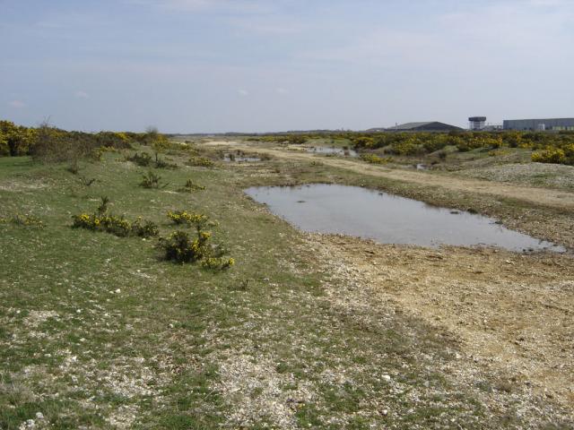
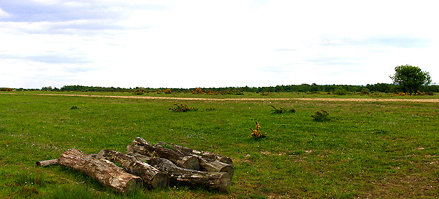
Greenham and Crookham Commons
Greenham and Crookham Commons are two adjoining public park areas of 280.5-hectare (693-acre) common land designated as a biological Site of Special Scientific...
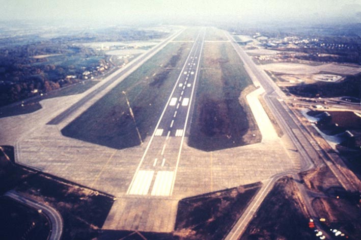
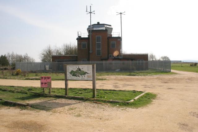
RAF Greenham Common
Royal Air Force Greenham Common or more simply RAF Greenham Common is a former Royal Air Force station in the civil parishes of Greenham and Thatcham in...

Greenham Preceptory
Greenham Preceptory was a preceptory of Knights Hospitaller at Greenham in the English county of Berkshire.The preceptory was established in 1199 and dissolved...

Greenham Common Women's Peace Camp
Greenham Common Women's Peace Camp was a series of protest camps established to protest against nuclear weapons being placed at RAF Greenham Common in...
Related Videos
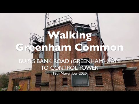
Walking Greenham Common: Bury's Band Road (Greenham) Gate to Control Tower. 4K (2160p)
As per my previous walking video, this again is a walk on Greenham Common, which is located to the south of Newbury in West ...

Walking Greenham Common: Sandleford Gate to Fireplane. 4K (2160p)
Greenham Common, to the south of Newbury in West Berkshire, is a former RAF base which was also used by the USAF during ...

Newbury, Berkshire, Reading FC, England - December 2023
My fourth solo travel was a 4 night trip to in Newbury for Christmas. I travelled by car to spend a few nights at a booking.com ...

Visit to 4 Kingdom
Royal British Legion invited us to visit 4 Kingdom on 16 Jul 22. Thank you Royal British Legion for free ticket for 4. We enjoyed the ...
Nearby Amenities
Located within 500m of 51.374538,-1.2878449Have you been to Handpost Gully?
Leave your review of Handpost Gully below (or comments, questions and feedback).