Marafield Dale
Valley in Shetland
Scotland
Marafield Dale
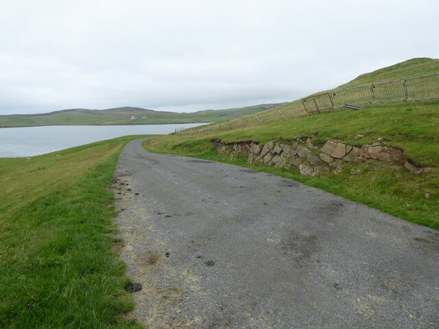
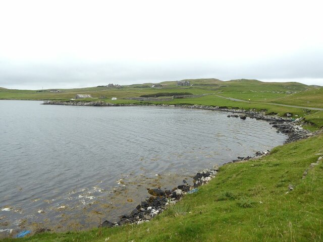
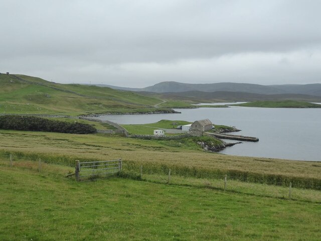
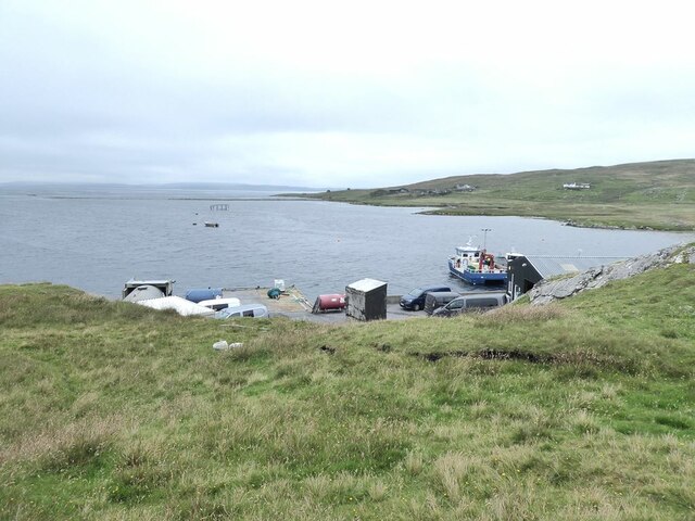
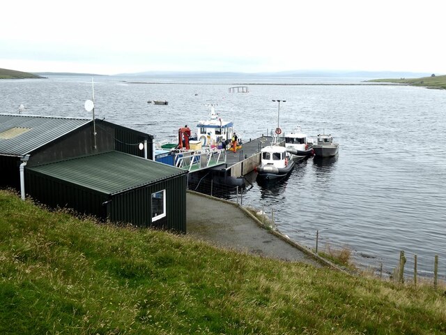
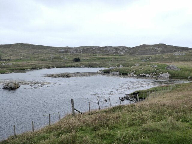
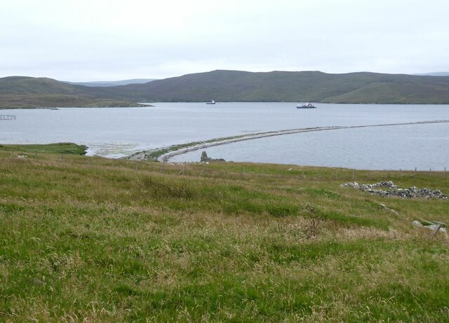
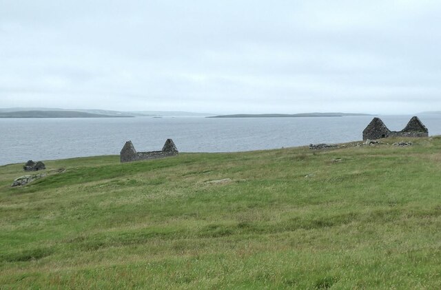
Marafield Dale is a picturesque valley located in the Shetland Islands, an archipelago in Scotland, United Kingdom. Positioned on the east coast of the mainland, this charming valley is known for its breathtaking natural beauty and tranquil atmosphere.
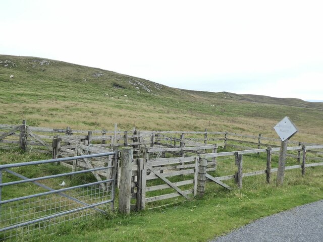
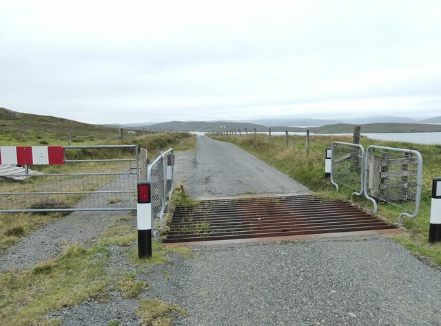
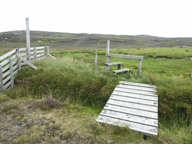
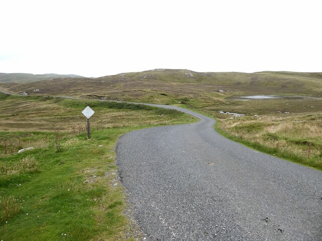
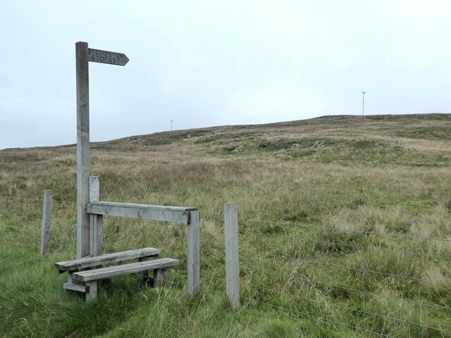
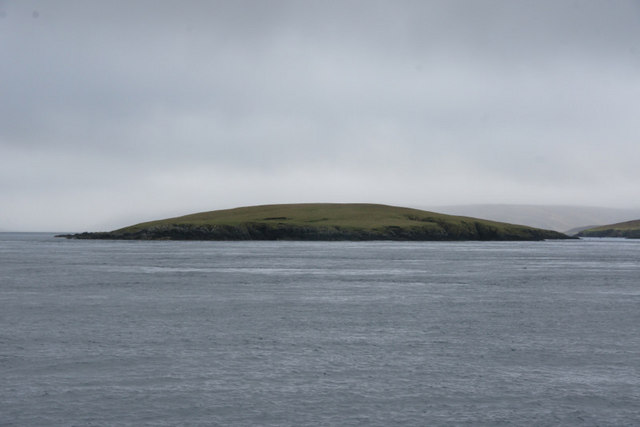
The valley is surrounded by rolling hills and meadows, creating an idyllic setting that is perfect for nature enthusiasts and hikers. The landscape is dominated by lush greenery, with a variety of plant species thriving in the fertile soil. The valley is also dotted with numerous small streams and rivers, adding to its scenic appeal.
Marafield Dale is home to a diverse range of wildlife, making it a popular spot for birdwatching and animal observation. Visitors may catch sight of various bird species, such as puffins, gannets, and shags, as well as seals and otters along the coastline. The valley is also known for its wildflowers, including heather and bluebells, which bloom in vibrant colors during the spring and summer months.
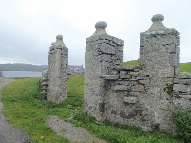
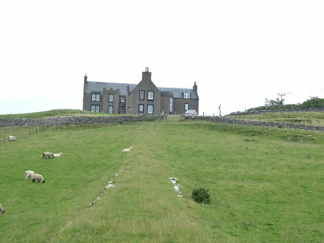
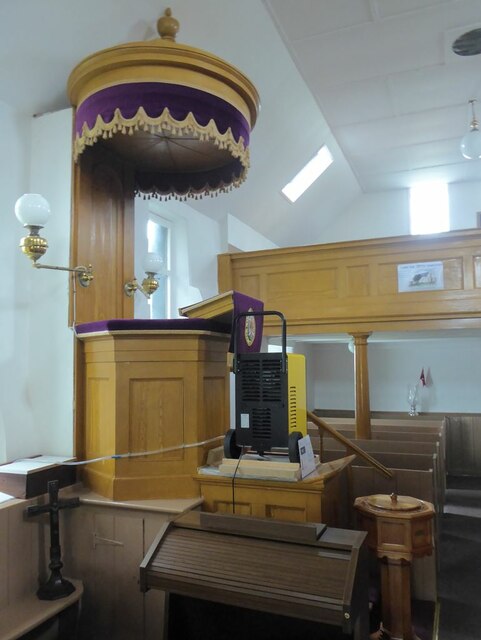
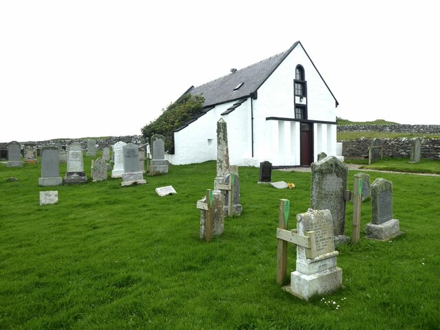
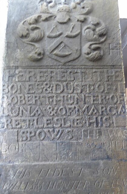
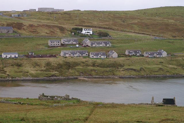
In addition to its natural wonders, Marafield Dale boasts a rich cultural heritage. Ruins of ancient settlements and burial sites can be found scattered throughout the valley, offering a glimpse into its historical past. The valley is also home to a number of traditional crofting communities, where locals engage in farming and sheep rearing.
Overall, Marafield Dale is a hidden gem in the Shetland Islands, offering visitors a serene escape into nature, filled with stunning vistas, wildlife encounters, and a touch of history.
If you have any feedback on the listing, please let us know in the comments section below.
Marafield Dale Images
Images are sourced within 2km of 60.414973/-1.1076019 or Grid Reference HU4970. Thanks to Geograph Open Source API. All images are credited.
Marafield Dale is located at Grid Ref: HU4970 (Lat: 60.414973, Lng: -1.1076019)
Unitary Authority: Shetland Islands
Police Authority: Highlands and Islands
What 3 Words
///hook.duplicity.quoted. Near Vidlin, Shetland Islands
Nearby Locations
Related Wikis

Lunna House
Lunna House is a 17th-century laird's house on Lunna Ness in the Shetland Islands. Lunna House is noted for having "the best historic designed landscape...

Lunna Ness
Lunna Ness is a peninsula in the north east of Mainland, Shetland, Scotland , in the parish of Lunnasting near Vidlin. The island of Lunna Holm is nearby...
Linga, Yell Sound
Linga is one of the Shetland Islands, in Yell Sound. == Geography and geology == Linga is an extremely common name in Shetland, meaning heather island...
Fish Holm
Fish Holm is a small island, 1.5 miles (2.4 km) east of Mainland, Shetland. It is near the village of Mossbank. It is 20 metres (66 ft) at its highest...

Vidlin
Vidlin (from Old Norse: Vaðill meaning a ford) is a small village located on Mainland, Shetland, Scotland. The settlement is within the parish of Nesting...

Lunna Holm
Lunna Holm is a small island near Lunna Ness (Mainland, Shetland), in the Shetland Islands. It is 27 metres (89 ft) at its highest point. == Lighthouse... ==
Firth, Shetland
Note: "Firth" is a common name for sounds in ShetlandFirth is a village in the north east of Mainland, Shetland, Scotland, in the parish of Delting, not...

Little Linga
Little Linga is a small island in the Shetland Islands. It is near West Linga and Vidlin on Mainland, Shetland. It is 20 metres (66 ft) at its highest...
Nearby Amenities
Located within 500m of 60.414973,-1.1076019Have you been to Marafield Dale?
Leave your review of Marafield Dale below (or comments, questions and feedback).