Jacob's Bottom
Valley in Hampshire Winchester
England
Jacob's Bottom
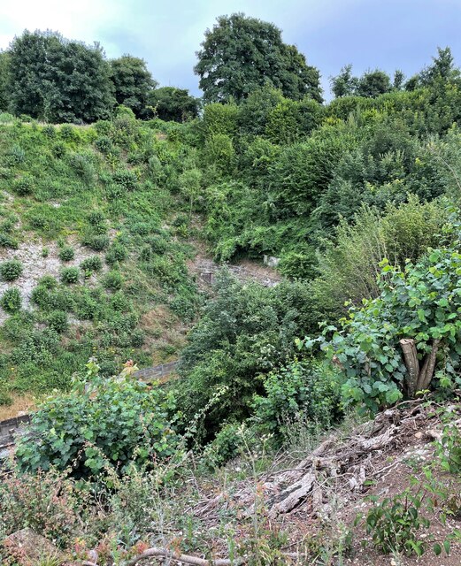
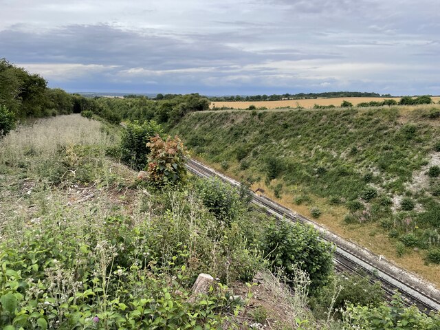
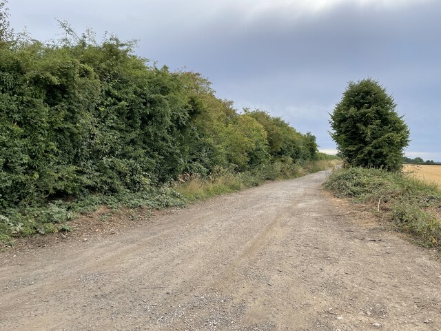
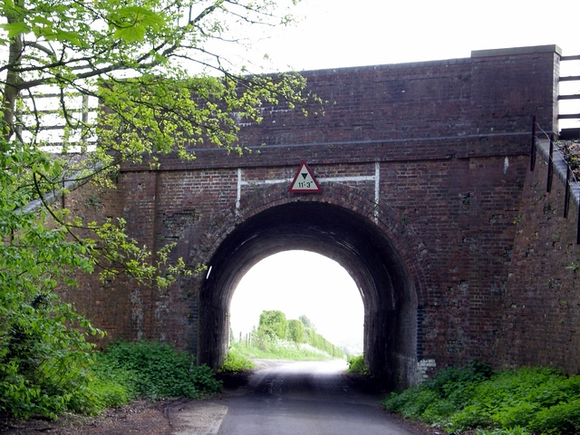
Jacob's Bottom is a picturesque valley located in Hampshire, England. Nestled within the South Downs National Park, this idyllic countryside destination is a haven for nature lovers and outdoor enthusiasts alike. The valley is named after its main watercourse, Jacob's Brook, which meanders through the landscape, adding to its charm and tranquility.
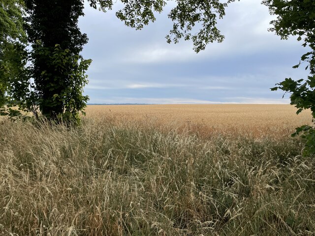
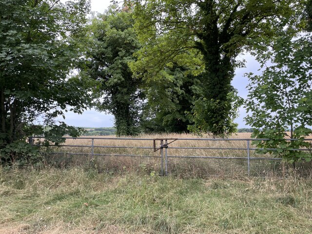
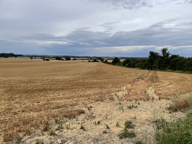
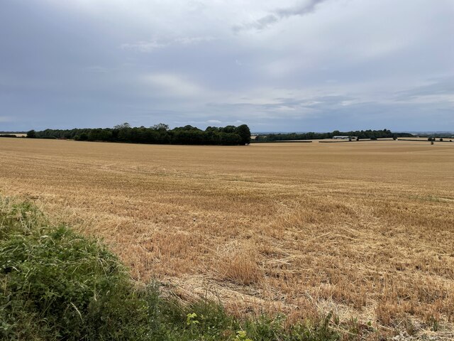
The valley is characterized by rolling hills, lush green meadows, and dense woodlands, creating a diverse and captivating natural environment. Its rich biodiversity is home to a wide range of flora and fauna, making it a popular spot for birdwatchers and wildlife enthusiasts. Visitors can expect to see a variety of bird species, including buzzards, skylarks, and kestrels, as well as occasional sightings of deer and other woodland creatures.
Jacob's Bottom offers numerous walking and hiking trails, allowing visitors to explore the valley's beauty at their own pace. The paths wind through the valley, providing stunning panoramic views of the surrounding countryside and offering an opportunity to reconnect with nature. Additionally, the valley is intersected by several streams and small waterfalls, adding a touch of serenity to the already picturesque landscape.
For those seeking a peaceful retreat, Jacob's Bottom offers a range of accommodation options, including cozy cottages and bed and breakfasts, allowing visitors to fully immerse themselves in the beauty of the valley. The nearby villages provide amenities such as quaint country pubs and local shops, ensuring a comfortable and enjoyable stay.
In conclusion, Jacob's Bottom in Hampshire is a hidden gem that offers a serene and picturesque countryside experience. With its diverse natural beauty and abundant wildlife, it is an ideal destination for those seeking a peaceful retreat away from the hustle and bustle of urban life.
If you have any feedback on the listing, please let us know in the comments section below.
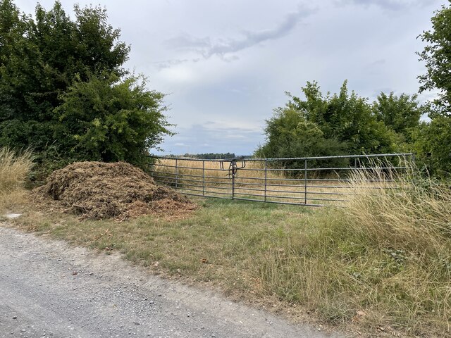
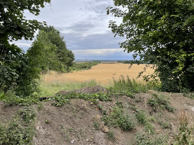
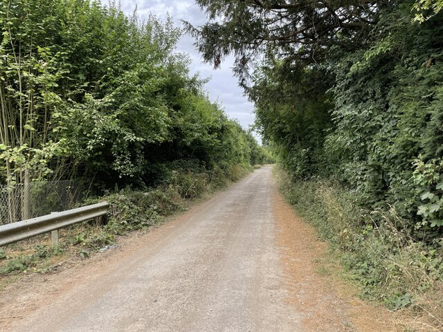
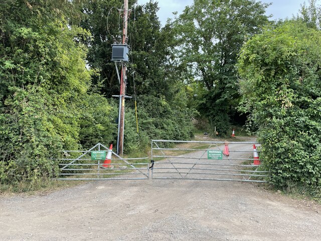
Jacob's Bottom Images
Images are sourced within 2km of 51.134086/-1.2971797 or Grid Reference SU4937. Thanks to Geograph Open Source API. All images are credited.


Jacob's Bottom is located at Grid Ref: SU4937 (Lat: 51.134086, Lng: -1.2971797)
Administrative County: Hampshire
District: Winchester
Police Authority: Hampshire
What 3 Words
///drop.ratio.fire. Near Kings Worthy, Hampshire
Nearby Locations
Related Wikis
Weston Colley
Weston Colley is a hamlet of about twenty dwellings, adjacent to (and within the parish of) Micheldever, Winchester, Hampshire, England. It is within the...

Stoke Charity
Stoke Charity is a small village and former civil parish, now in the parish of Wonston, in the City of Winchester district of Hampshire, England. It is...

Hunton, Hampshire
Hunton is a village and former civil parish, now in the parish of Wonston, in the Winchester district, in the county of Hampshire, England. It is about...

St Mary's Church, Micheldever
St Mary's Church is an Anglican church in Micheldever, Hampshire, England. It is in the Diocese of Winchester. The building, which is Grade II* listed...

Wonston
Wonston is a village and civil parish in the City of Winchester district of Hampshire, England. The village had 1446 usual residents as of Census day 2011...
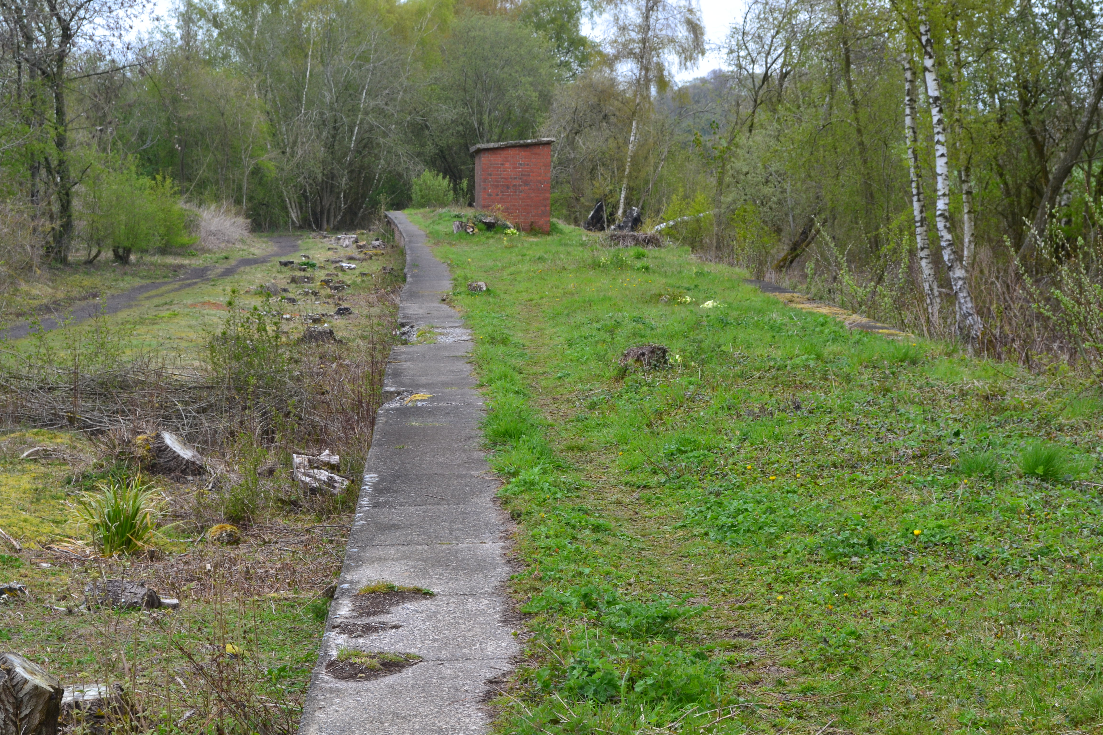
Worthy Down Halt railway station
Worthy Down Halt railway station was built in 1918 as a small single platform halt to serve the Royal Flying Corps (later RAF) depot nearby. It included...

Norsebury Ring
Norsebury Ring is the site of an Iron Age univallate hillfort located in Hampshire. Now mostly ploughed out to the South and east, some ditches and ramparts...

Micheldever
Micheldever is a village and civil parish in Hampshire, England, situated 6 miles (10 km) north of Winchester. It lies upon the River Dever . The river...
Have you been to Jacob's Bottom?
Leave your review of Jacob's Bottom below (or comments, questions and feedback).