Loch of Ramnageo
Lake, Pool, Pond, Freshwater Marsh in Shetland
Scotland
Loch of Ramnageo
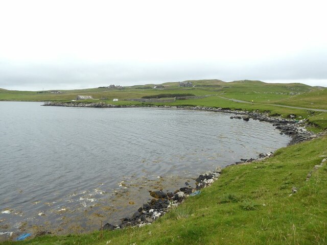
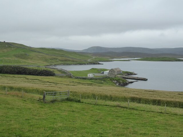
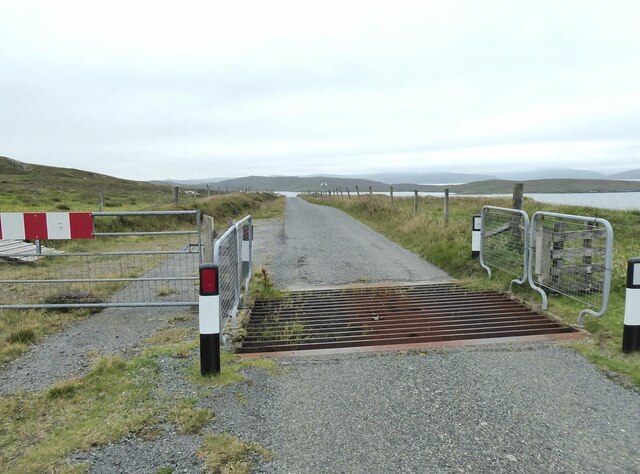
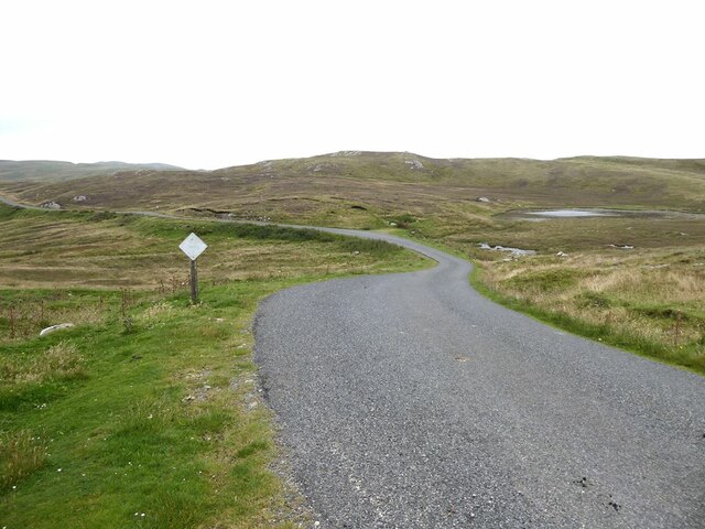
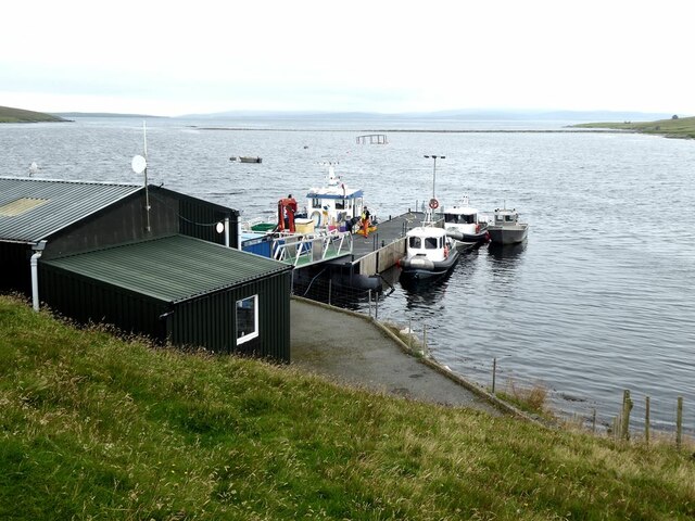
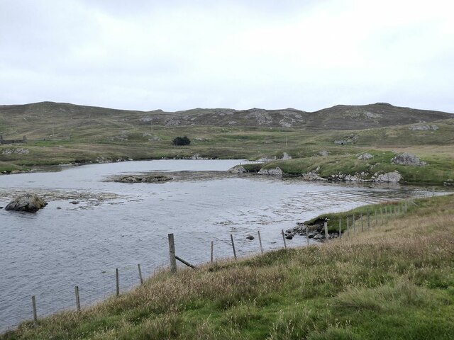
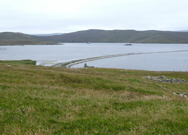
Loch of Ramnageo is a picturesque freshwater lake situated in the Shetland Islands, an archipelago located off the northeast coast of Scotland. It is nestled amidst the stunning natural beauty of the islands, surrounded by rolling hills and lush greenery.
Covering an area of approximately 20 acres, Loch of Ramnageo is a relatively small body of water, but it holds great significance in the local ecosystem. It is renowned for its diverse range of flora and fauna, attracting nature enthusiasts and birdwatchers from far and wide.
The lake provides a vital habitat for numerous species of waterfowl, including ducks, geese, and swans. During the breeding season, it becomes a bustling haven for these birds, with their presence adding a vibrant splash of color to the surroundings. Additionally, Loch of Ramnageo is home to various freshwater fish, such as trout and perch, making it a popular spot for anglers.
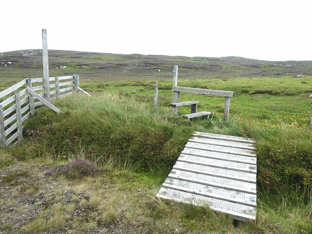
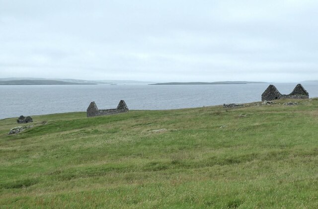
Surrounded by a freshwater marsh, the lake's edges are teeming with a variety of plant life, including reeds and water lilies. This marshland provides a crucial breeding ground for amphibians and insects, further enriching the biodiversity of the area.
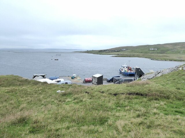
The tranquil ambiance and breathtaking scenery of Loch of Ramnageo make it a favored destination for nature lovers seeking solitude and a chance to connect with the natural world. Its serene beauty, combined with the abundant wildlife, perfectly encapsulates the charm of the Shetland Islands and their unspoiled landscapes.
If you have any feedback on the listing, please let us know in the comments section below.
Loch of Ramnageo Images
Images are sourced within 2km of 60.411323/-1.0948665 or Grid Reference HU4970. Thanks to Geograph Open Source API. All images are credited.
Loch of Ramnageo is located at Grid Ref: HU4970 (Lat: 60.411323, Lng: -1.0948665)
Unitary Authority: Shetland Islands
Police Authority: Highlands and Islands
What 3 Words
///knee.conveying.explored. Near Vidlin, Shetland Islands
Nearby Locations
Related Wikis

Lunna Ness
Lunna Ness is a peninsula in the north east of Mainland, Shetland, Scotland , in the parish of Lunnasting near Vidlin. The island of Lunna Holm is nearby...

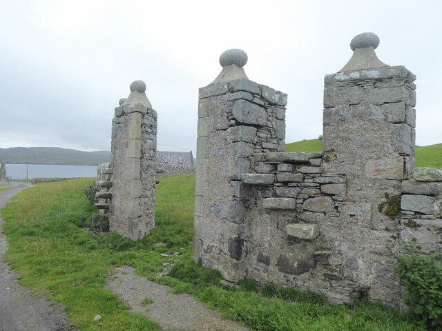
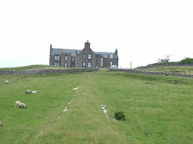
Lunna House
Lunna House is a 17th-century laird's house on Lunna Ness in the Shetland Islands. Lunna House is noted for having "the best historic designed landscape...
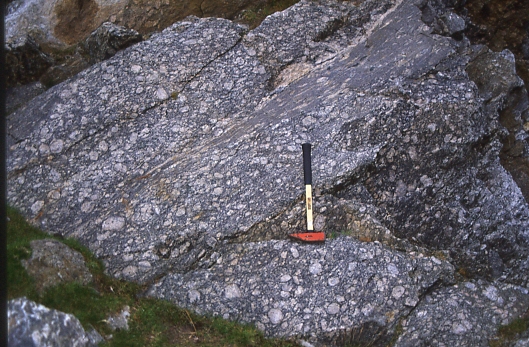
Linga, Yell Sound
Linga is one of the Shetland Islands, in Yell Sound. == Geography and geology == Linga is an extremely common name in Shetland, meaning heather island...
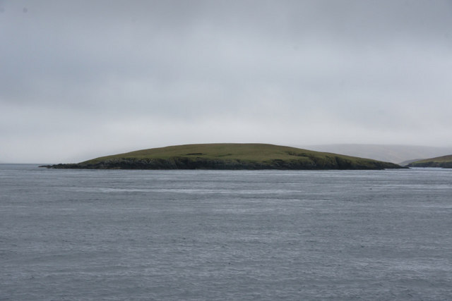
Fish Holm
Fish Holm is a small island, 1.5 miles (2.4 km) east of Mainland, Shetland. It is near the village of Mossbank. It is 20 metres (66 ft) at its highest...
Have you been to Loch of Ramnageo?
Leave your review of Loch of Ramnageo below (or comments, questions and feedback).