Shalder Holms
Coastal Marsh, Saltings in Shetland
Scotland
Shalder Holms
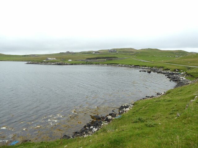
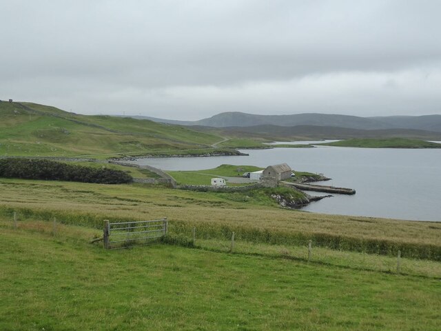
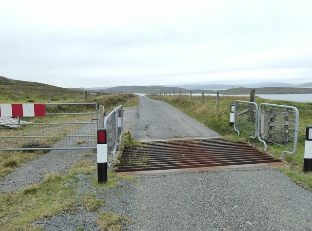
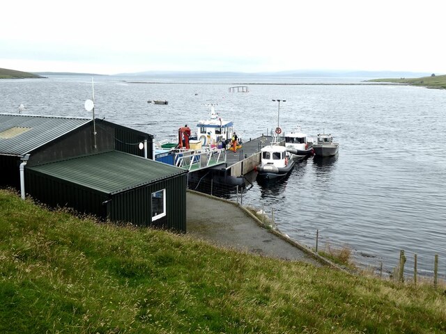
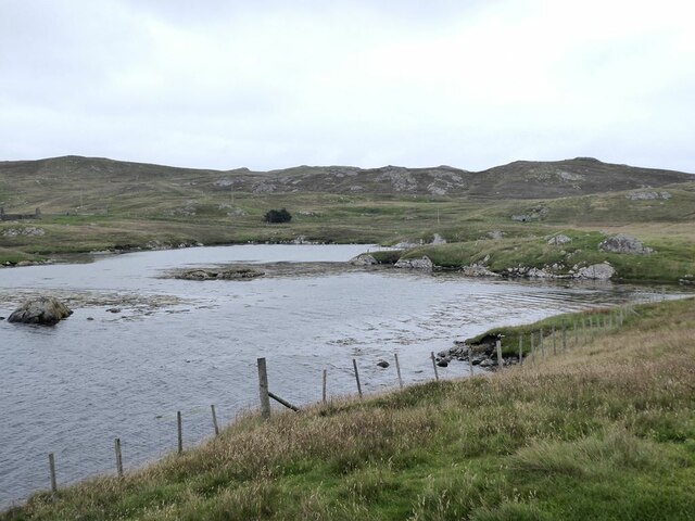
Shalder Holms, located in Shetland, is a coastal marsh and saltings area that offers a unique and diverse ecosystem. Spanning approximately 200 acres, this site is characterized by its stunning landscape and abundant wildlife.
The marshland of Shalder Holms is predominantly made up of salt marshes, which are formed by tidal mudflats that are regularly flooded by the sea. These marshes are home to a variety of plant species that have adapted to the saline conditions, including samphire, sea lavender, and sea aster. The vibrant colors and fragrant scents of these plants create a picturesque scene throughout the year.
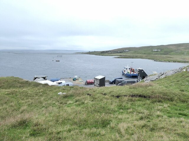
The saltings, or salt pans, found at Shalder Holms are a result of the evaporation of seawater during low tide. These shallow pools contain high levels of salt and provide a unique habitat for a range of wildlife. Many bird species, such as oystercatchers, redshanks, and curlews, can be found feeding on the invertebrates and small fish that thrive in these saline pools.
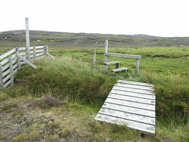
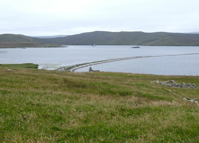
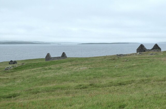
In addition to its flora, Shalder Holms is also a haven for various fauna. The marshes provide an important breeding ground for birds, with several species using the area to nest and rear their young. Otters are known to frequent the marshes, taking advantage of the plentiful food sources available. Seals can also be spotted basking on the nearby sandbanks.
Overall, Shalder Holms is a remarkable coastal marsh and saltings area in Shetland that offers both stunning natural beauty and a rich biodiversity. It is a must-visit destination for nature enthusiasts and birdwatchers looking to experience the unique habitats that exist in this remote corner of the world.
If you have any feedback on the listing, please let us know in the comments section below.
Shalder Holms Images
Images are sourced within 2km of 60.417772/-1.1058003 or Grid Reference HU4970. Thanks to Geograph Open Source API. All images are credited.
Shalder Holms is located at Grid Ref: HU4970 (Lat: 60.417772, Lng: -1.1058003)
Unitary Authority: Shetland Islands
Police Authority: Highlands and Islands
What 3 Words
///explained.deriving.hotspots. Near Vidlin, Shetland Islands
Nearby Locations
Related Wikis

Lunna Ness
Lunna Ness is a peninsula in the north east of Mainland, Shetland, Scotland , in the parish of Lunnasting near Vidlin. The island of Lunna Holm is nearby...

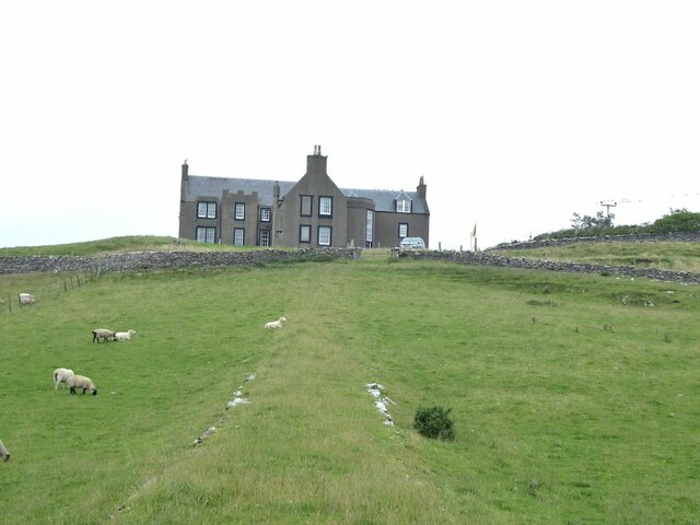
Lunna House
Lunna House is a 17th-century laird's house on Lunna Ness in the Shetland Islands. Lunna House is noted for having "the best historic designed landscape...
Linga, Yell Sound
Linga is one of the Shetland Islands, in Yell Sound. == Geography and geology == Linga is an extremely common name in Shetland, meaning heather island...
Fish Holm
Fish Holm is a small island, 1.5 miles (2.4 km) east of Mainland, Shetland. It is near the village of Mossbank. It is 20 metres (66 ft) at its highest...

Vidlin
Vidlin (from Old Norse: Vaðill meaning a ford) is a small village located on Mainland, Shetland, Scotland. The settlement is within the parish of Nesting...

Lunna Holm
Lunna Holm is a small island near Lunna Ness (Mainland, Shetland), in the Shetland Islands. It is 27 metres (89 ft) at its highest point. == Lighthouse... ==
Firth, Shetland
Note: "Firth" is a common name for sounds in ShetlandFirth is a village in the north east of Mainland, Shetland, Scotland, in the parish of Delting, not...

Samphrey
Samphrey (Scots: Samphrey; Old Norse: Sandfriðarey) is an uninhabited island in the Shetland Islands, Scotland. One of Fair Isle's old names is "Friðarey...
Nearby Amenities
Located within 500m of 60.417772,-1.1058003Have you been to Shalder Holms?
Leave your review of Shalder Holms below (or comments, questions and feedback).