Colna Taing
Coastal Marsh, Saltings in Shetland
Scotland
Colna Taing
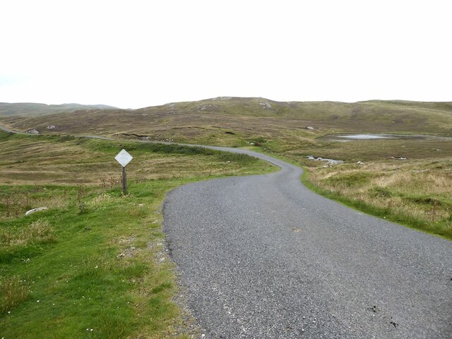
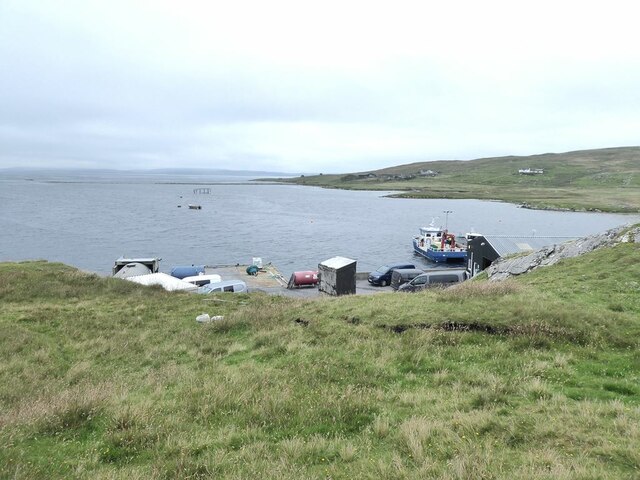
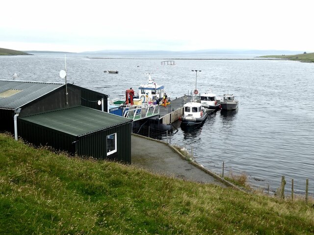
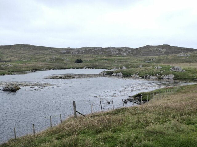
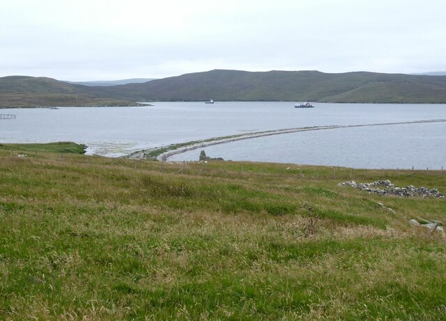
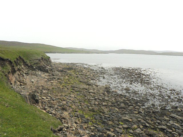
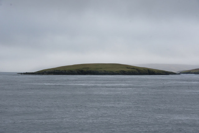
Colna Taing is a coastal marsh located in Shetland, an archipelago in Scotland. It is specifically situated in the region known as Saltings, which refers to the area of marshland that lies along the coast. This marshland is characterized by its unique ecosystem and is home to a diverse range of flora and fauna.
Colna Taing is a dynamic environment, influenced by the tides and the proximity to the sea. The marsh is predominantly covered by low-lying grasses and sedges, which are adapted to the saline conditions. These plants play a crucial role in stabilizing the marshland and preventing erosion.
The marsh is also an important habitat for various bird species, particularly wading birds. The shallow pools and mudflats provide an ideal feeding ground for these birds, attracting species such as curlews, oystercatchers, and redshanks. The saltmarsh also serves as a nesting site for several bird species, including the common tern and Arctic tern.
In addition to the avian wildlife, Colna Taing is home to a variety of invertebrates, including various species of crabs and mollusks. These organisms contribute to the overall biodiversity of the marsh and play a crucial role in the marsh ecosystem.
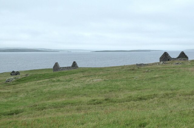
Colna Taing is not only significant for its ecological value but also for its scenic beauty. The coastal location offers stunning views of the surrounding landscape, with the sea stretching out into the horizon. Visitors can enjoy walks along the marshland, observing the diverse wildlife and taking in the tranquil atmosphere.
Overall, Colna Taing in Shetland is a unique coastal marsh characterized by its diverse range of plant and animal species. It provides an important habitat for various bird species and offers visitors a picturesque setting to appreciate the natural beauty of the area.
If you have any feedback on the listing, please let us know in the comments section below.
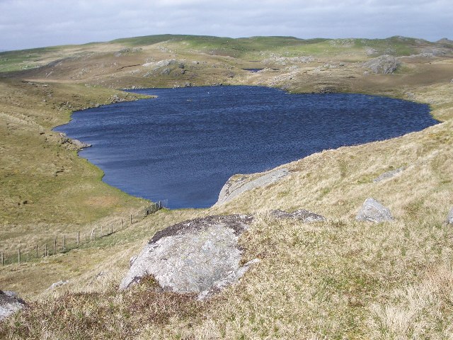
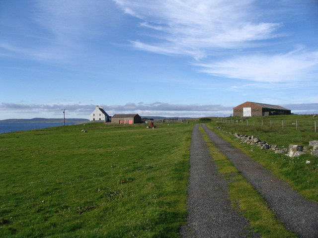
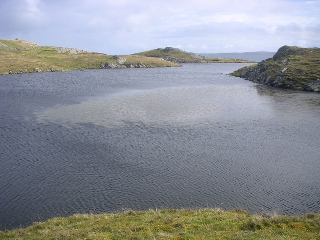
Colna Taing Images
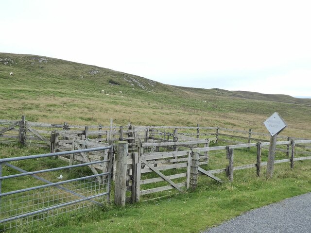
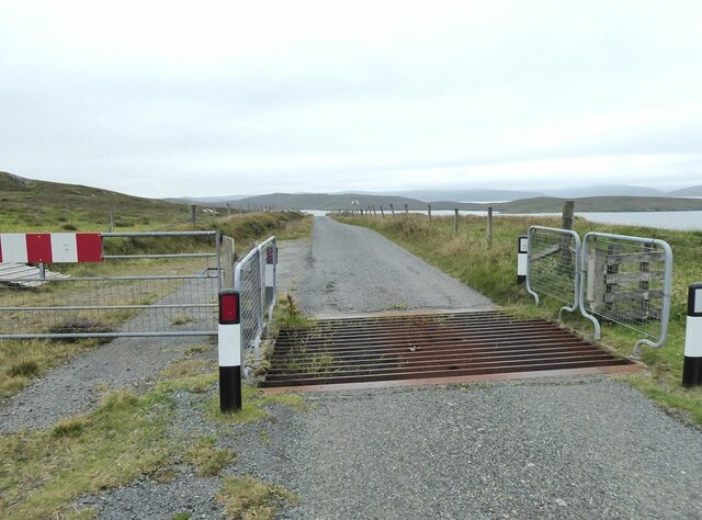
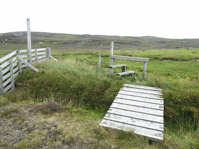
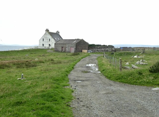
Images are sourced within 2km of 60.423287/-1.1047771 or Grid Reference HU4971. Thanks to Geograph Open Source API. All images are credited.
Colna Taing is located at Grid Ref: HU4971 (Lat: 60.423287, Lng: -1.1047771)
Unitary Authority: Shetland Islands
Police Authority: Highlands and Islands
What 3 Words
///spoiled.unwound.provoking. Near Vidlin, Shetland Islands
Nearby Locations
Related Wikis

Lunna Ness
Lunna Ness is a peninsula in the north east of Mainland, Shetland, Scotland , in the parish of Lunnasting near Vidlin. The island of Lunna Holm is nearby...

Lunna House
Lunna House is a 17th-century laird's house on Lunna Ness in the Shetland Islands. Lunna House is noted for having "the best historic designed landscape...
Fish Holm
Fish Holm is a small island, 1.5 miles (2.4 km) east of Mainland, Shetland. It is near the village of Mossbank. It is 20 metres (66 ft) at its highest...
Linga, Yell Sound
Linga is one of the Shetland Islands, in Yell Sound. == Geography and geology == Linga is an extremely common name in Shetland, meaning heather island...
Nearby Amenities
Located within 500m of 60.423287,-1.1047771Have you been to Colna Taing?
Leave your review of Colna Taing below (or comments, questions and feedback).