Hamnavoe

Settlement in Shetland

Scotland

Hamnavoe

Livestock pen on the slopes of the Ward of Loomishun
Livestock pen on the slopes of the Ward of Loomishun Credit: Oliver Dixon

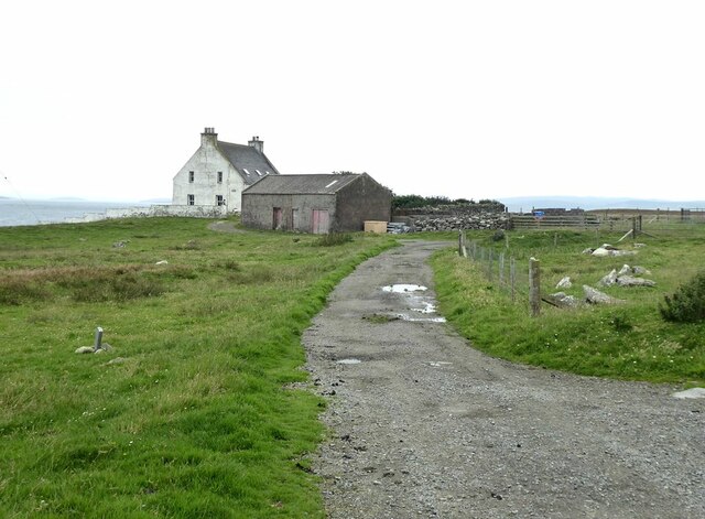
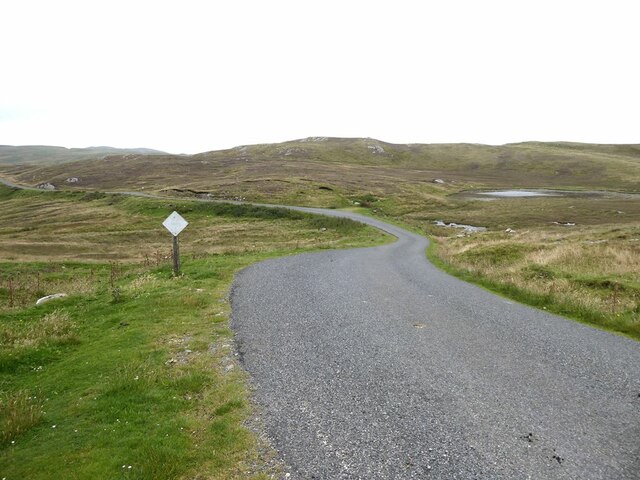
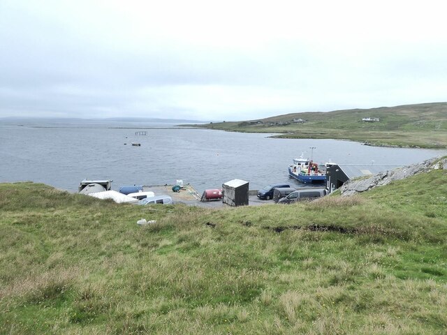
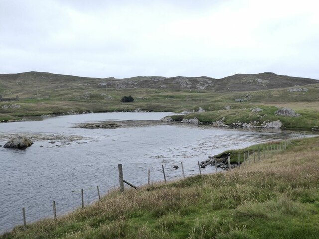
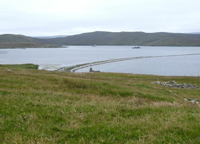
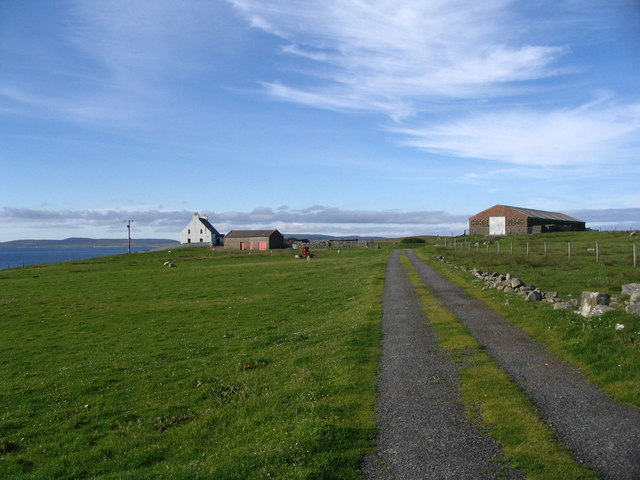
Hamnavoe is a picturesque village located on the island of Burra, in the Shetland archipelago, off the northeast coast of Scotland. Situated on the eastern side of the island, Hamnavoe is surrounded by stunning coastal landscapes and is known for its tranquil charm.

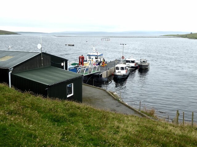
With a population of around 300 residents, Hamnavoe is a close-knit community that thrives on its fishing and farming activities. The village offers a glimpse into the traditional way of life in the Shetland Islands, with its colorful houses, narrow lanes, and a small harbor where fishing boats bob gently in the water.

The village is also home to a range of amenities, including a primary school, a community hall, and a local shop. Visitors can enjoy a peaceful stroll along the shoreline, taking in the breathtaking views of the North Sea and the surrounding cliffs.

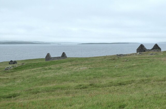
Hamnavoe is well-known for its rich history, with traces of Viking settlements dating back over a thousand years. The nearby Scalloway Castle, built in the 17th century, is a significant historical landmark just a short distance from the village.

Nature enthusiasts will find plenty to explore in the area, with opportunities for birdwatching, hiking, and wildlife spotting. The rugged coastline is home to various seabirds, including puffins and gannets, while seals and otters can sometimes be spotted in the surrounding waters.

With its idyllic setting and friendly atmosphere, Hamnavoe offers visitors a chance to experience the authentic beauty and tranquility of the Shetland Islands.

If you have any feedback on the listing, please let us know in the comments section below.
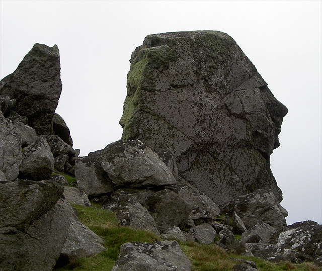
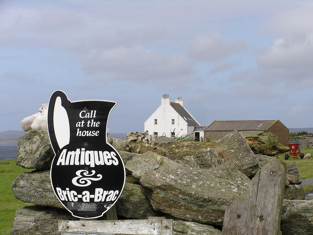
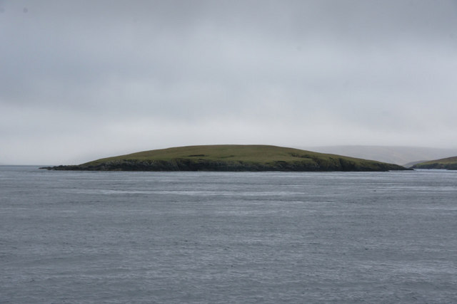
Hamnavoe Images

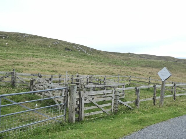
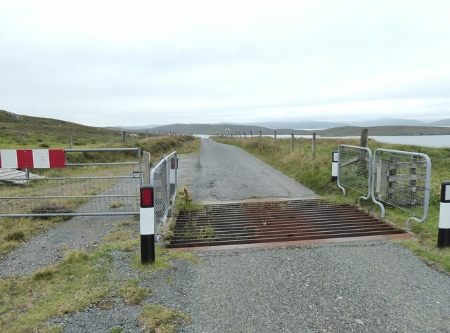
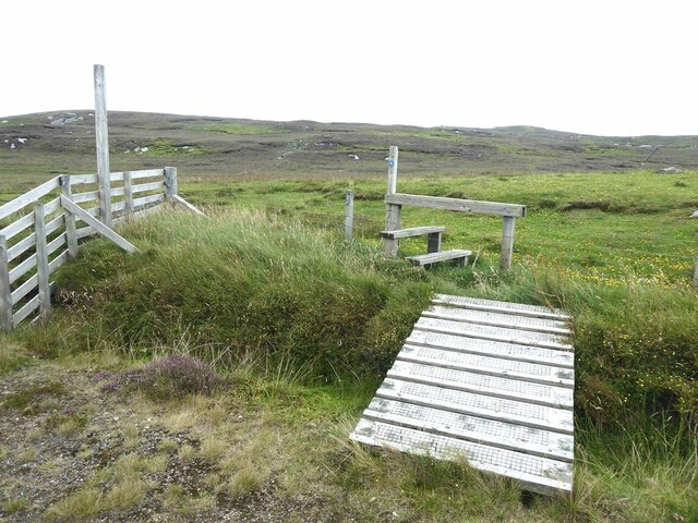
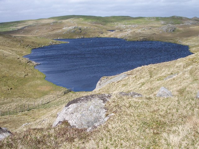
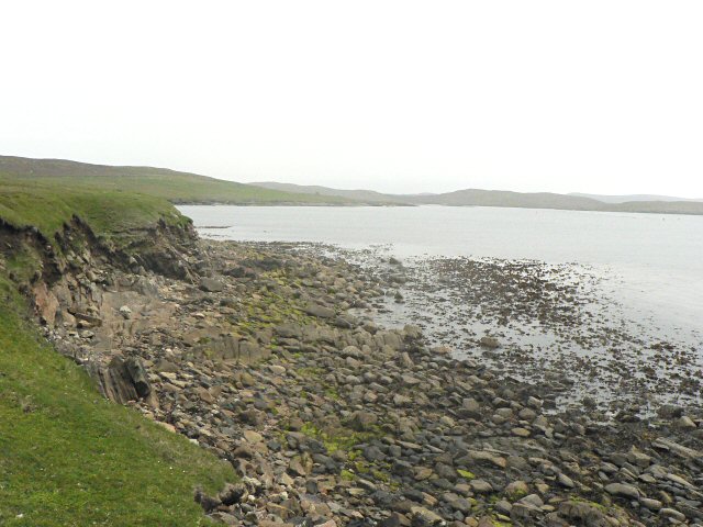
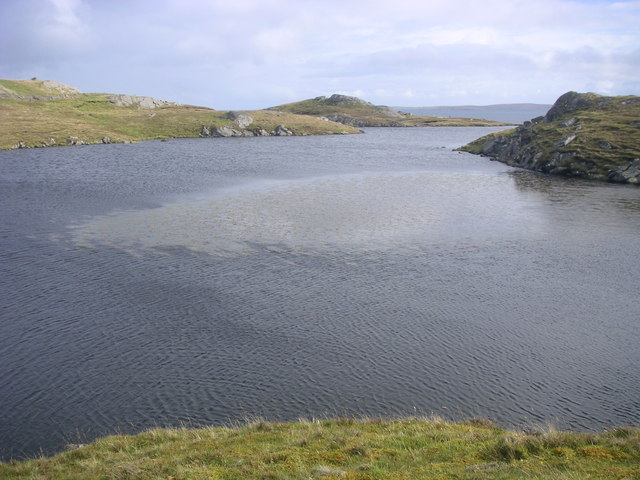
Images are sourced within 2km of 60.422677/-1.0968393 or Grid Reference HU4971. Thanks to Geograph Open Source API. All images are credited.

Livestock pen on the slopes of the Ward of Loomishun
Cattle grid on the Lunnasting road.
Stile on Lunna Ness
Stile on Lunna Ness
Outrabister End of the road along the Lunnasting peninsula.
Outrabister
End of the road along the Lunnasting peninsula.
Moorland road at Mara Field
Fish farm jetty in the Vadills
Fish farm jetty in the Vadills A long spit extends out into Boatsroom Voe in the distance.
Fish farm jetty in the Vadills
A long spit extends out into Boatsroom Voe in the distance.
The Vadills Inner bay at the head of Boatsroom Voe.
The Vadills
Inner bay at the head of Boatsroom Voe.
The Ayre of Hamnavoe Long shingle spit which separates Boatsroom Voe (to the left) from Hamna Voe which is open to the sea.
The Ayre of Hamnavoe
Long shingle spit which separates Boatsroom Voe (to the left) from Hamna Voe which is open to the sea.
Three ruins at Heog Overlooking Hamna Voe. The island of Fish Holm <a href="https://www.geograph.org.uk/gridref/HU4774">HU4774</a> out to sea.
Three ruins at Heog
Overlooking Hamna Voe. The island of Fish Holm HU4774 out to sea.
Footpath to the Stones of Stofast The stones lie on the far side of the hill (see <a href="https://www.geograph.org.uk/photo/3927689">HU5071 : The Stones of Stofast above Loch Stofast</a>).
Footpath to the Stones of Stofast
The stones lie on the far side of the hill (see HU5071 : The Stones of Stofast above Loch Stofast).
Augen Gneiss in Grutwick Quarry This extraordinary rock is augen gneiss - 'Auge' is German for 'eye' and refers to the round white feldspars in the black rock.
Augen Gneiss in Grutwick Quarry
This extraordinary rock is augen gneiss - 'Auge' is German for 'eye' and refers to the round white feldspars in the black rock.
Mill Loch, Lunna Ness This is one of a group of three lochans to the west of Grutwick. They are surrounded by the rocky hills which make up the spine of this peninsula,
Mill Loch, Lunna Ness
This is one of a group of three lochans to the west of Grutwick. They are surrounded by the rocky hills which make up the spine of this peninsula,
Outrabister House
Outrabister House
Foreshore This is the coast just north of Outrabister.
Foreshore
This is the coast just north of Outrabister.
Loch of Grutwick View SE with the island of Whalsay in the distance.
Loch of Grutwick
View SE with the island of Whalsay in the distance.
Queen Victoria Rock Some say this outcrop looks like Queen Victoria
Queen Victoria Rock
Some say this outcrop looks like Queen Victoria
Outrabister, Lunna Ness
Show me another place!

Hamnavoe is located at Grid Ref: HU4971 (Lat: 60.422677, Lng: -1.0968393)

Unitary Authority: Shetland Islands

Police Authority: Highlands and Islands

What 3 Words

///dozen.euphoric.headset. Near Vidlin, Shetland Islands

Related Wikis

Lunna Ness

Lunna Ness is a peninsula in the north east of Mainland, Shetland, Scotland , in the parish of Lunnasting near Vidlin. The island of Lunna Holm is nearby...

Lunna House

Lunna House is a 17th-century laird's house on Lunna Ness in the Shetland Islands. Lunna House is noted for having "the best historic designed landscape...

Fish Holm

Fish Holm is a small island, 1.5 miles (2.4 km) east of Mainland, Shetland. It is near the village of Mossbank. It is 20 metres (66 ft) at its highest...

Linga, Yell Sound

Linga is one of the Shetland Islands, in Yell Sound. == Geography and geology == Linga is an extremely common name in Shetland, meaning heather island...

Related Videos

Sonic Outreach Shetland, East Lunna Voe Beach (Lunna, Shetland), September 2021

Sonic Outreach Shetland (SO Shetland) is a project that explores Shetland's coasts and waters through sound. Initiated and ...

Nearby Amenities

Located within 500m of 60.422677,-1.0968393
Hamnavoe
Place: hamlet
Lat/Long: 60.4227086/-1.0972657
Power: pole
Lat/Long: 60.4263288/-1.0931996
Power: pole
Lat/Long: 60.4255192/-1.0937186
Power: pole
Lat/Long: 60.424758/-1.0942254
Power: pole
Lat/Long: 60.4240813/-1.0946415
Power: pole
Lat/Long: 60.4233369/-1.0951214
Power: pole
Lat/Long: 60.422607/-1.0955817
Power: pole
Lat/Long: 60.4218699/-1.09554
Power: pole
Lat/Long: 60.4210831/-1.0954886
Power: pole
Lat/Long: 60.4202964/-1.0954617
Power: pole
Lat/Long: 60.4194118/-1.0954005
Power: pole
Lat/Long: 60.4190311/-1.0953785
Power: pole
Lat/Long: 60.4185307/-1.0953491
Power: pole
Lat/Long: 60.4221816/-1.0950186
Power: pole
Lat/Long: 60.4225659/-1.0964092
The data included in this document is from www.openstreetmap.org. The data is made available under ODbL.

Have you been to Hamnavoe?

Leave your review of Hamnavoe below (or comments, questions and feedback).