Hampstead Heath
Settlement in Middlesex
England
Hampstead Heath

Hampstead Heath is an expansive public park located in the borough of Camden, in the northwest part of London, England. Spanning over 790 acres, it is one of the largest green spaces in the city and is known for its natural beauty and diverse wildlife. The park is situated on a hilly terrain, offering visitors stunning panoramic views of the city skyline.
Hampstead Heath is primarily made up of grassy fields, woodlands, and ponds, providing a peaceful escape from the bustling city atmosphere. The park is home to several notable features, including Parliament Hill, which offers breathtaking views of London, and Kenwood House, an elegant Georgian villa housing an impressive art collection.
The heath is also famous for its swimming ponds, which are open to the public during the summer months. These include the mixed pond, the ladies' pond, and the men's pond, each providing a unique swimming experience in natural surroundings. Additionally, Hampstead Heath hosts a number of sporting facilities, such as tennis courts, cricket pitches, and a running track.
The park attracts a diverse range of visitors, from families enjoying picnics and recreational activities to joggers and dog walkers exploring the extensive network of paths and trails. Hampstead Heath is also a popular destination for birdwatchers, with over 180 species of birds recorded within its boundaries.
Overall, Hampstead Heath offers a tranquil and picturesque setting for Londoners and tourists alike, providing a much-needed green oasis in the heart of the city.
If you have any feedback on the listing, please let us know in the comments section below.
Hampstead Heath Images
Images are sourced within 2km of 51.570531/-0.17834999 or Grid Reference TQ2687. Thanks to Geograph Open Source API. All images are credited.


Hampstead Heath is located at Grid Ref: TQ2687 (Lat: 51.570531, Lng: -0.17834999)
Unitary Authority: Barnet
Police Authority: Metropolitan
What 3 Words
///often.that.chins. Near Belsize Park, London
Nearby Locations
Related Wikis

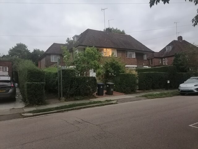
Turner's Wood
Turner's Wood is a 2.4-hectare (5.9-acre) Site of Borough Importance for Nature Conservation, Grade II, in Hampstead Garden Suburb in the London Borough...
Wyldes Farm
Wyldes Farm is a Grade II* listed former farmhouse in the hamlet of North End, Hampstead, in the London Borough of Barnet (right on the boundary with Camden...
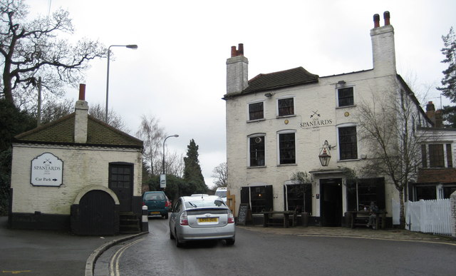
Spaniards Inn
The Spaniards Inn is a historic pub on Spaniards Road between Hampstead and Highgate in London, England. It lies on the edge of Hampstead Heath near Kenwood...
North End tube station
North End (commonly referred to as Bull and Bush) is a never-completed underground station, on the Charing Cross, Euston and Hampstead Railway (CCE&HR...

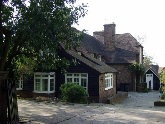
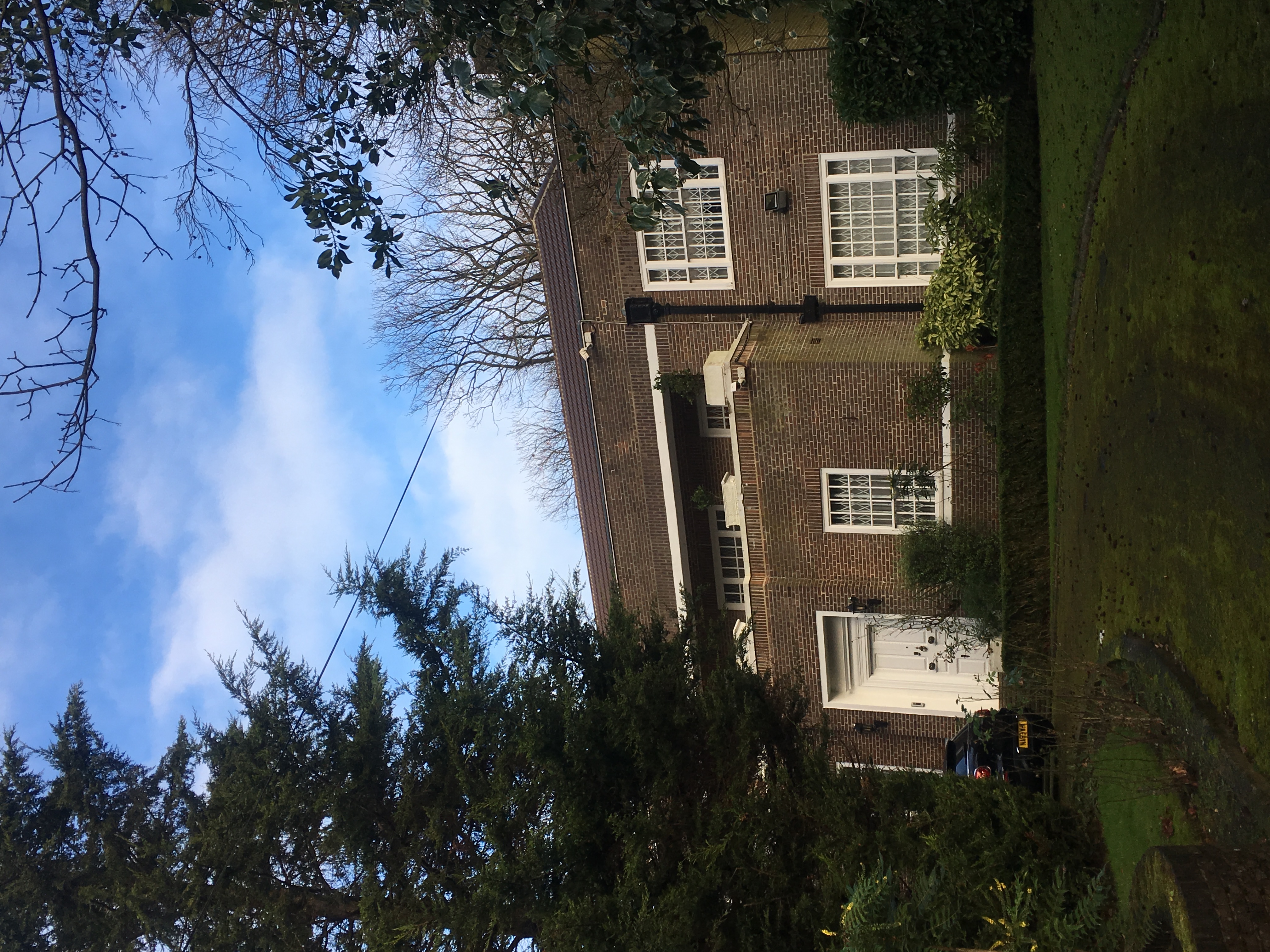
The Elms, Hampstead
The Elms is a house on Spaniard's Road in Hampstead in the London Borough of Camden. It has been listed Grade II on the National Heritage List for England...
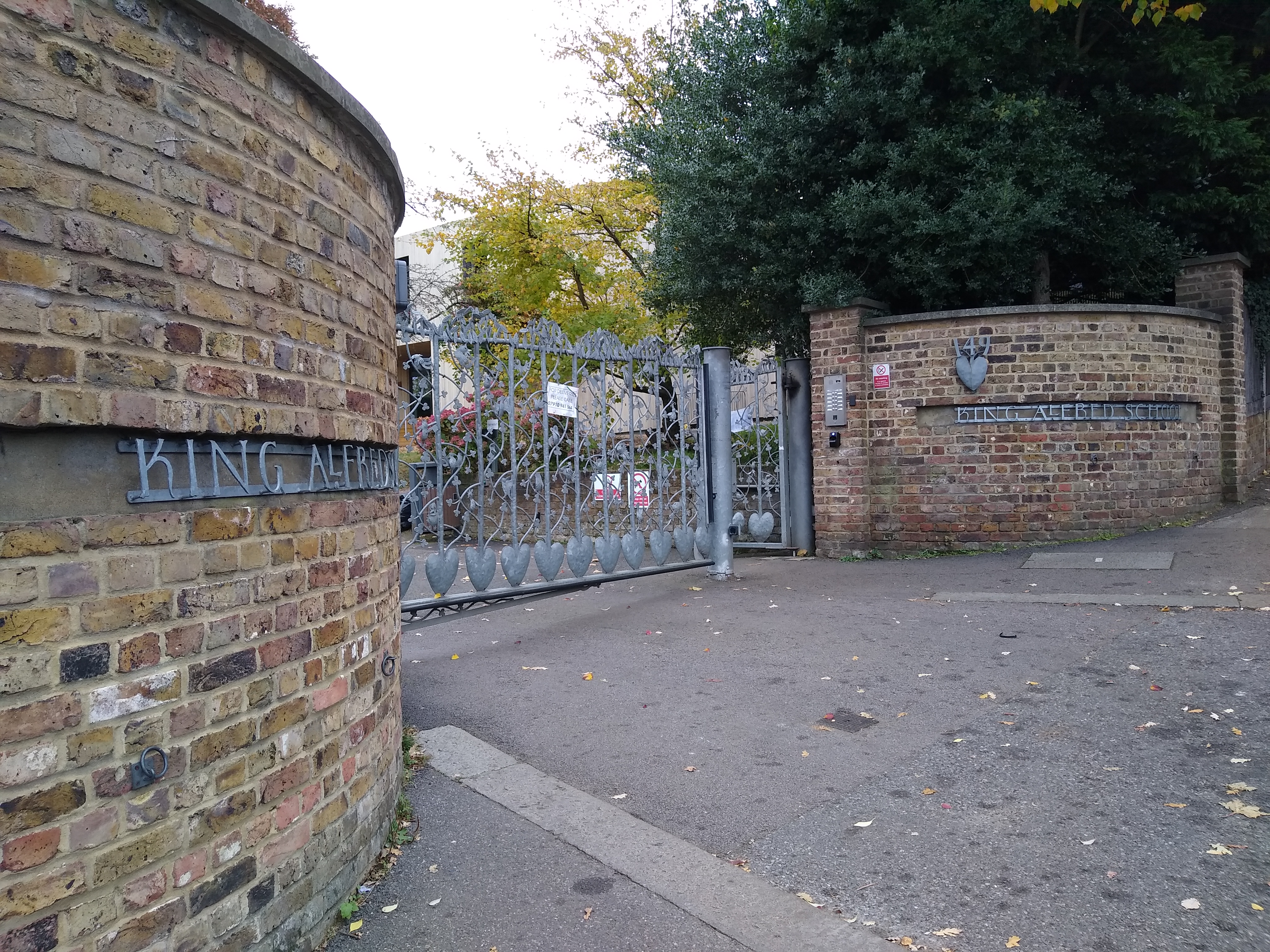
King Alfred School, London
The King Alfred School is a co-educational independent day school in Golders Green in North West London. It was founded in London in 1898 by Charles E...
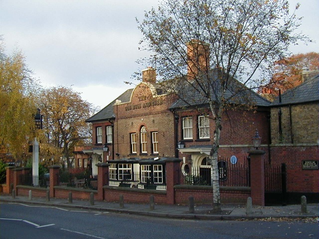
The Old Bull and Bush
The Old Bull and Bush is a Grade II listed public house at North End near Hampstead Heath in London, which gave its name to the music hall song "Down at...
Spaniards Mount
Spaniards Mount at 61 Winnington Road in Hampstead Garden Suburb, London is a detached house that was designed by the architect Adrian Gilbert Scott as...
Nearby Amenities
Located within 500m of 51.570531,-0.17834999Have you been to Hampstead Heath?
Leave your review of Hampstead Heath below (or comments, questions and feedback).