Hampsthwaite Hollins
Settlement in Yorkshire Harrogate
England
Hampsthwaite Hollins
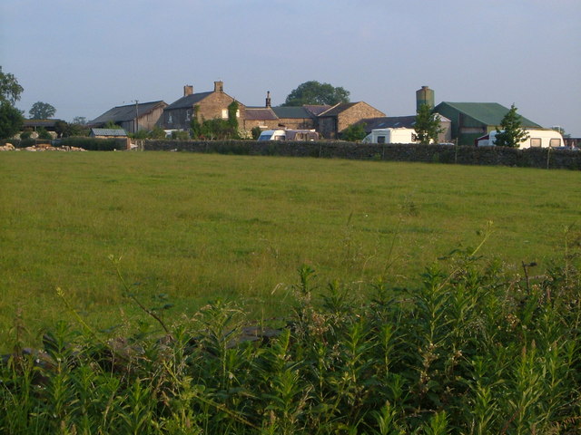
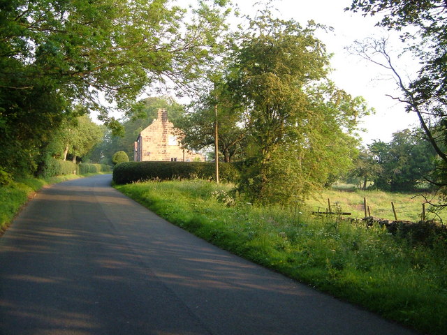
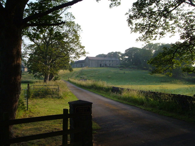
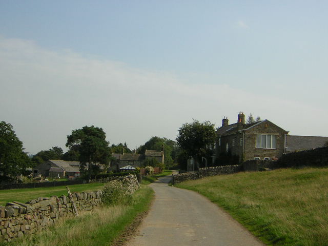
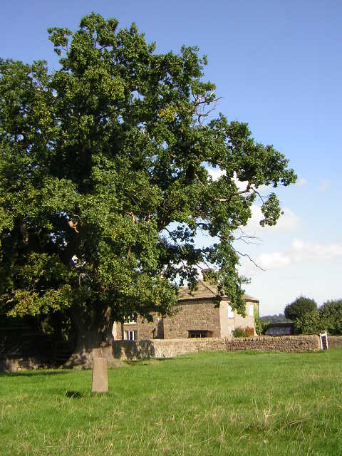
Hampsthwaite Hollins is a charming village located in the picturesque county of Yorkshire, England. Situated near the River Nidd, it is nestled amidst rolling green hills and offers breathtaking views of the surrounding countryside. The village is part of the Nidderdale Area of Outstanding Natural Beauty, renowned for its stunning landscapes and rich wildlife.
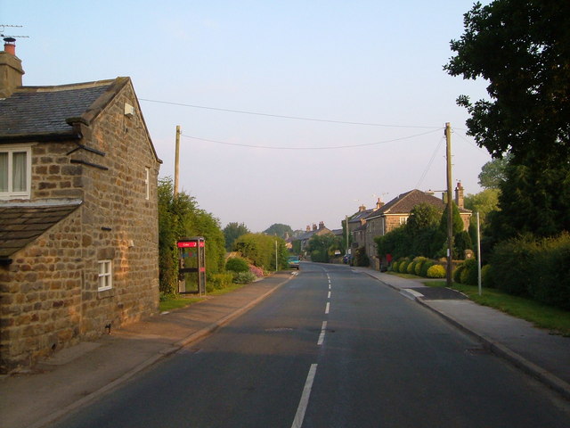
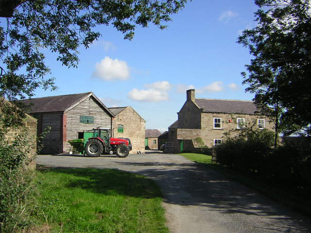
With a population of around 1,200 residents, Hampsthwaite Hollins exudes a peaceful and close-knit community atmosphere. The village is characterized by its idyllic stone-built houses, many of which date back to the 17th and 18th centuries. These historic buildings add to the village's timeless charm and are a testament to its rich heritage.
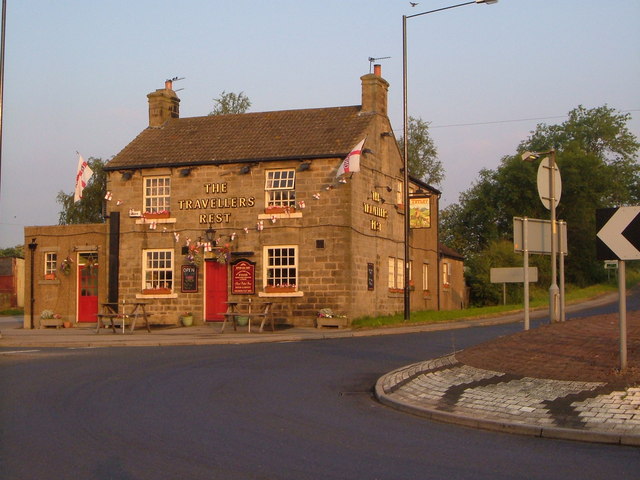
Hampsthwaite Hollins boasts several amenities to cater to the needs of its residents. These include a primary school, village hall, local shops, and a traditional pub serving delicious food and drinks. The village also has a strong sense of community spirit, with various events and activities organized throughout the year, such as festivals, fairs, and charity fundraisers.
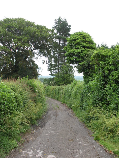
For nature enthusiasts, Hampsthwaite Hollins offers ample opportunities for outdoor pursuits. The nearby Nidderdale Way provides scenic walking trails, allowing visitors to explore the stunning countryside and encounter an array of flora and fauna. The village is also within easy reach of the Yorkshire Dales National Park, offering further opportunities for hiking, cycling, and wildlife spotting.
Hampsthwaite Hollins truly embodies the quintessential English village, offering a peaceful retreat for its residents and an enchanting destination for visitors seeking natural beauty and a warm community atmosphere.
If you have any feedback on the listing, please let us know in the comments section below.
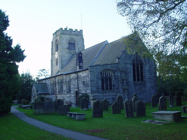
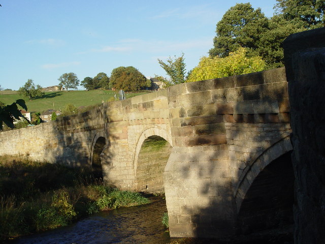
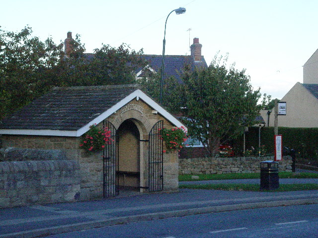
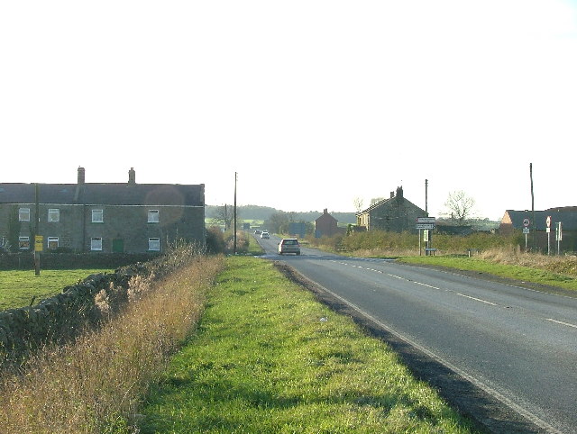
Hampsthwaite Hollins Images
Images are sourced within 2km of 54.016986/-1.5825791 or Grid Reference SE2757. Thanks to Geograph Open Source API. All images are credited.


Hampsthwaite Hollins is located at Grid Ref: SE2757 (Lat: 54.016986, Lng: -1.5825791)
Division: West Riding
Administrative County: North Yorkshire
District: Harrogate
Police Authority: North Yorkshire
What 3 Words
///dabbling.birds.intelligible. Near Harrogate, North Yorkshire
Nearby Locations
Related Wikis

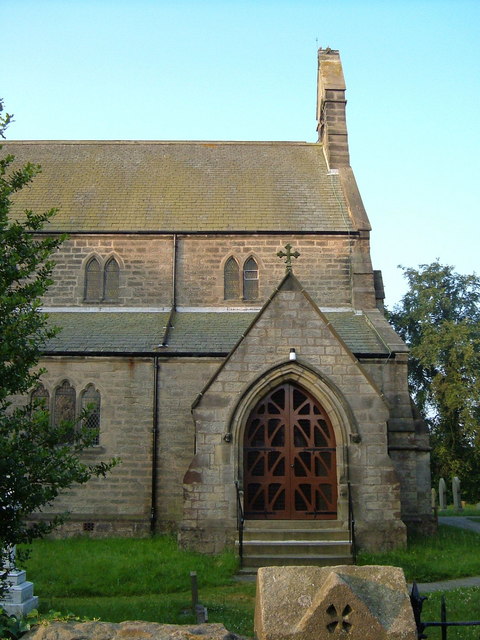
Church of St Thomas the Apostle, Killinghall
The Church of St Thomas the Apostle, Killinghall, is an Anglican parish church in Killinghall, North Yorkshire, England. It was designed in 1879 by William...

Killinghall
Killinghall is a village and civil parish in the Harrogate district of North Yorkshire, England. The civil parish population taken at the 2011 census was...

Hampsthwaite
Hampsthwaite is a large village and civil parish in Nidderdale in the Harrogate district of North Yorkshire, England. It lies on the south bank of the...
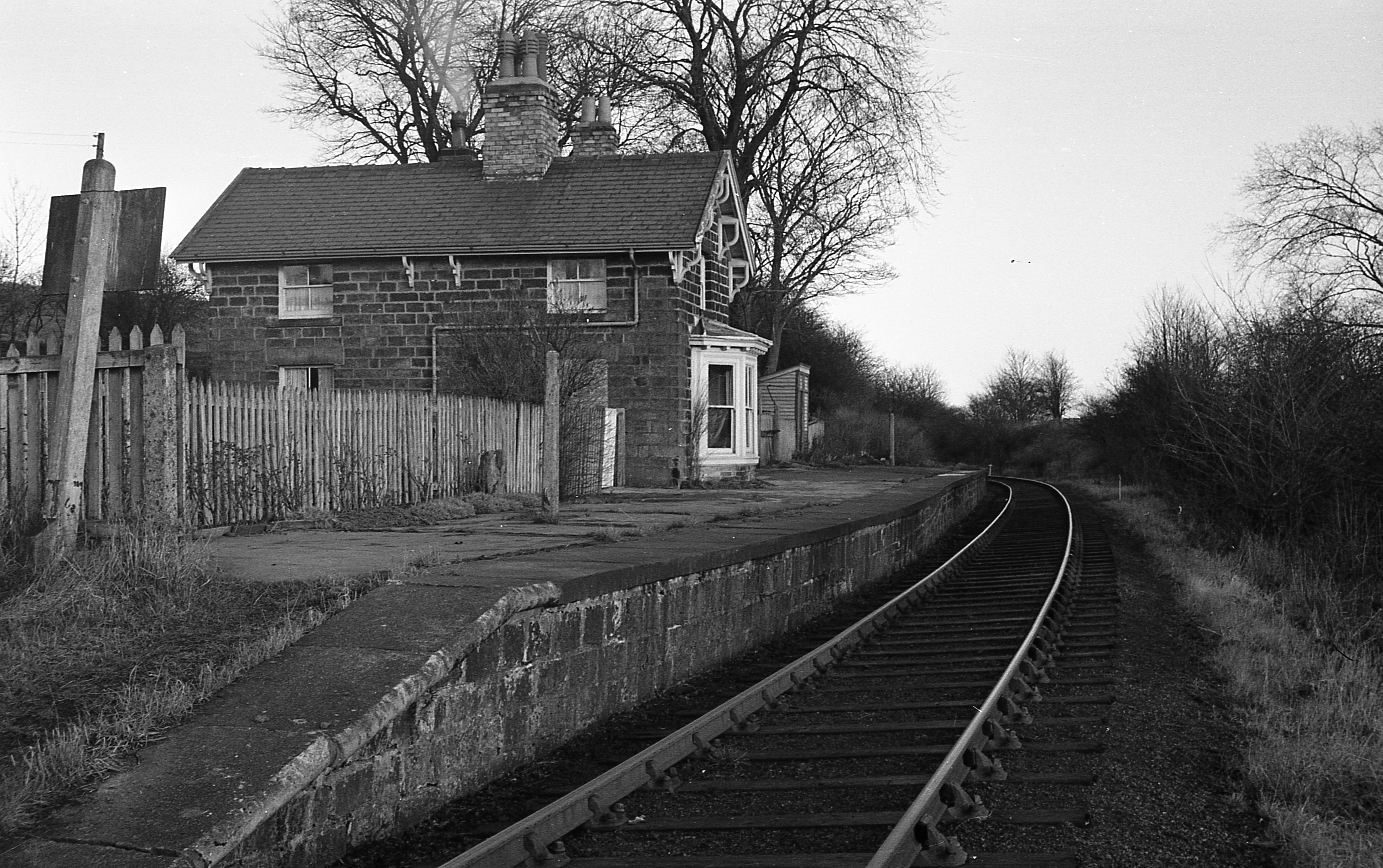
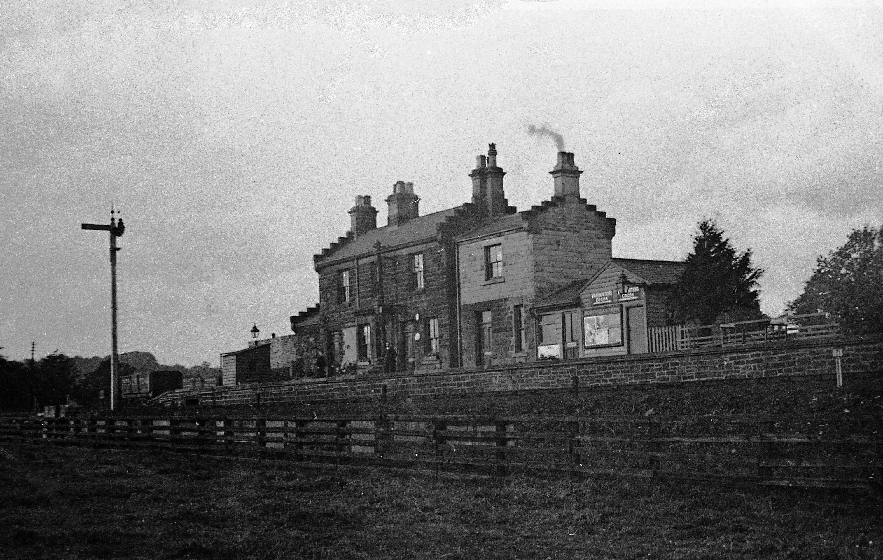
Hampsthwaite railway station
Hampsthwaite railway station served the village of Hampsthwaite, North Yorkshire, England from 1866 to 1950 on the Nidd Valley Railway. == History == The...
Ripley Valley railway station
Ripley Valley railway station served the villages of Killinghall and Ripley, North Yorkshire, England from 1862 to 1951 on the Nidd Valley Railway. �...

Clint, North Yorkshire
Clint is a village in Nidderdale in North Yorkshire, England. It lies on the north bank of the River Nidd, 4 miles north-west of Harrogate. Clint is...

Harrogate Gasworks Railway
Harrogate Gasworks Railway was an industrial railway in the town of Harrogate, North Yorkshire, England. It was built to the gauge of 2 ft and ran between...

Harrogate power station
Harrogate power station supplied electricity to the town of Harrogate and the surrounding area from 1897 to 1960. The power station was built by the Harrogate...
Nearby Amenities
Located within 500m of 54.016986,-1.5825791Have you been to Hampsthwaite Hollins?
Leave your review of Hampsthwaite Hollins below (or comments, questions and feedback).