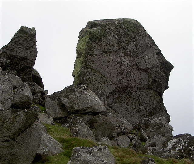
Ayre of Hamnavoe
Beach in Shetland
Scotland
Ayre of Hamnavoe
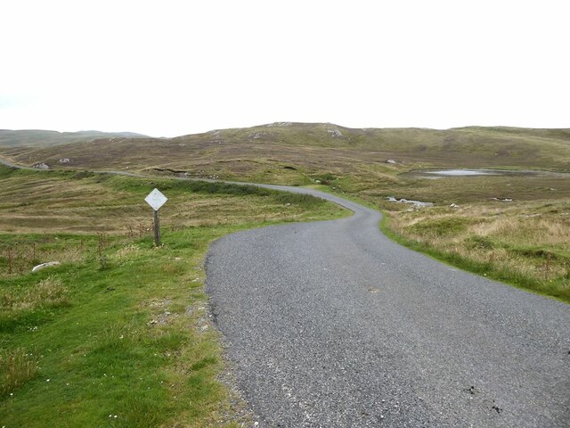
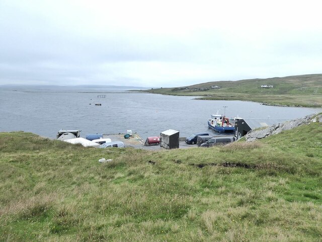
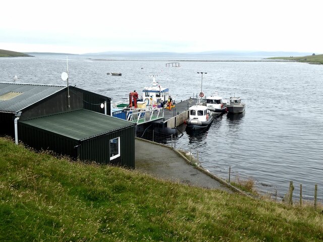
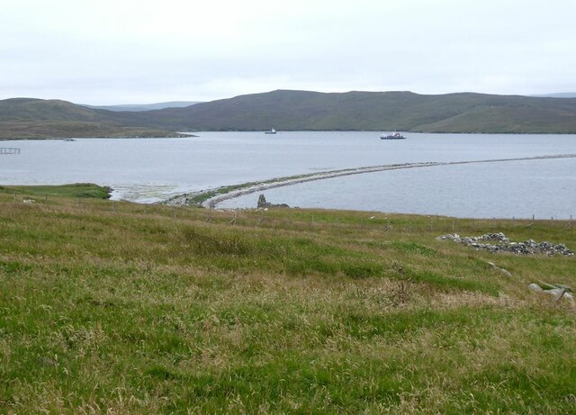
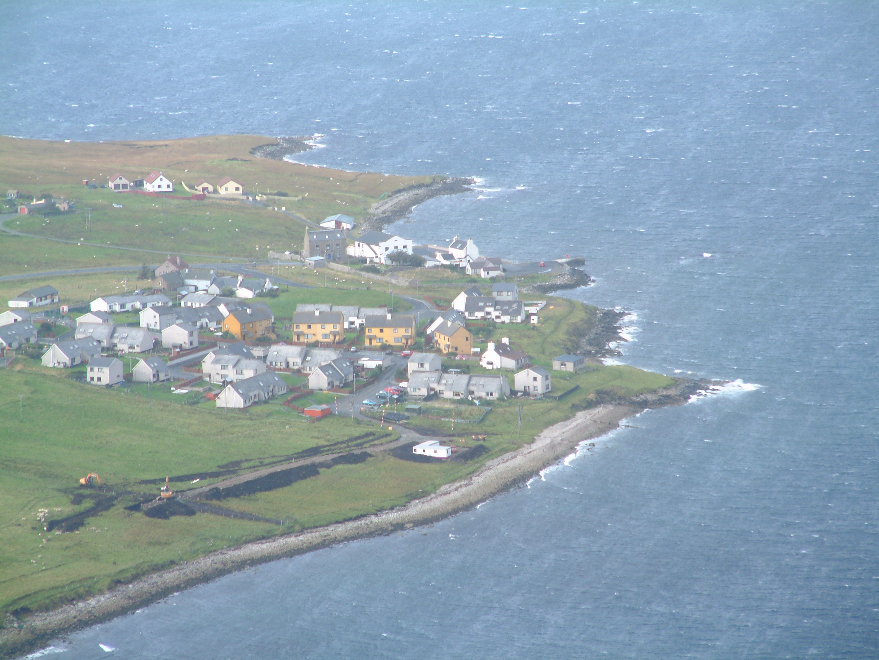
Ayre of Hamnavoe is a picturesque sandy beach situated in the village of Burra, on the island of Shetland in Scotland. This stunning beach is a popular destination for locals and tourists alike, offering a tranquil escape with its breathtaking natural beauty.
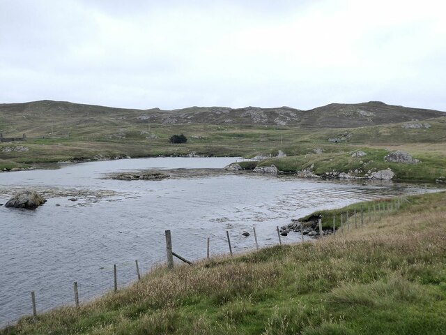
With its pristine white sands and crystal-clear turquoise waters, Ayre of Hamnavoe presents a stunning contrast against the rugged cliffs and rolling green hills that surround it. The beach stretches for approximately half a mile and is easily accessible, making it a perfect spot for a leisurely stroll or a relaxing picnic.
Ayre of Hamnavoe offers a variety of activities for visitors to enjoy. Beachgoers can take a refreshing swim in the shallow waters, explore the rocky coastline, or simply bask in the sun while taking in the stunning views. The beach is also a great spot for birdwatching, with various seabirds and waders frequenting the area.
The beach is well-maintained, with clean facilities and ample parking available nearby. There is also a small café nearby, providing a convenient option for refreshments and snacks.
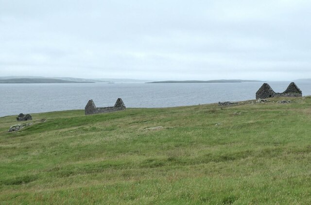
Ayre of Hamnavoe is not only a beautiful beach, but it also holds historical significance. It is believed to have been the landing site of the legendary Viking warrior, Sigurd the Stout, adding a touch of intrigue and mythology to the area.
Overall, Ayre of Hamnavoe is a must-visit destination for nature lovers and those seeking a peaceful escape in the stunning surroundings of Shetland.
If you have any feedback on the listing, please let us know in the comments section below.
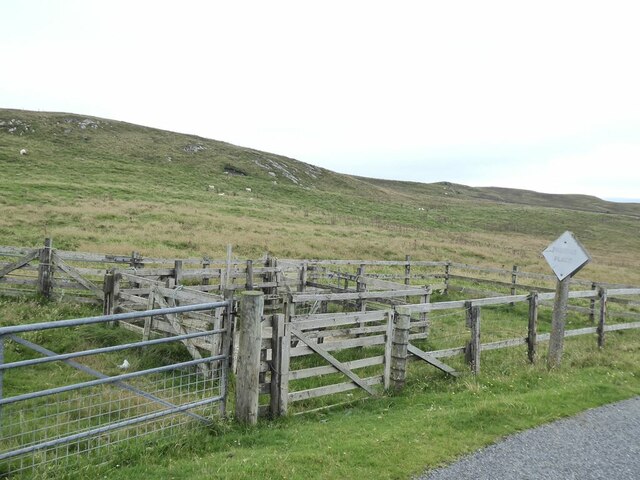
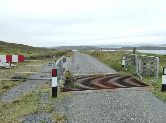
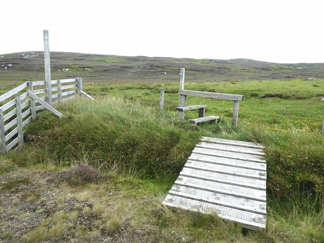
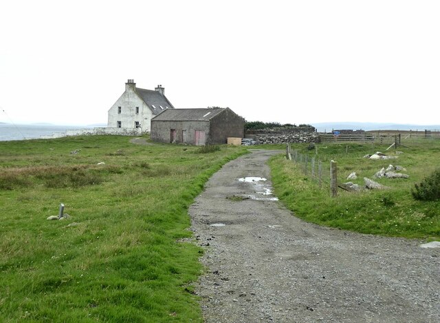
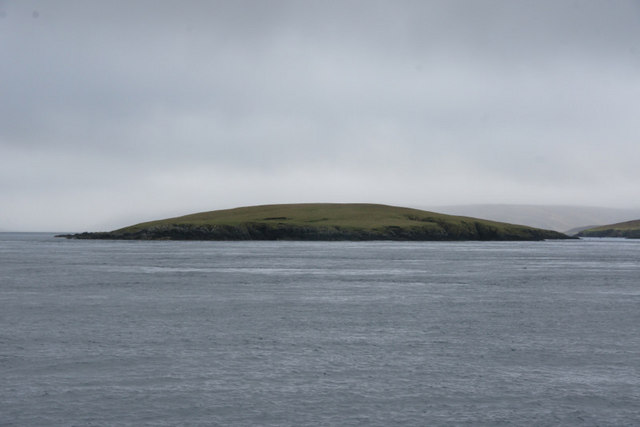
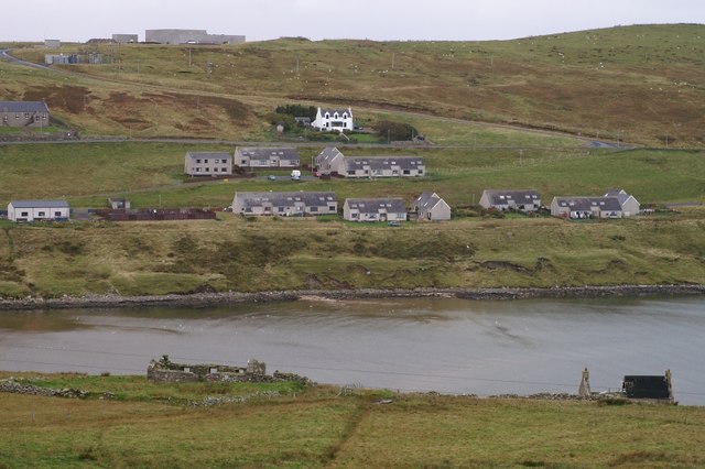
Ayre of Hamnavoe Images
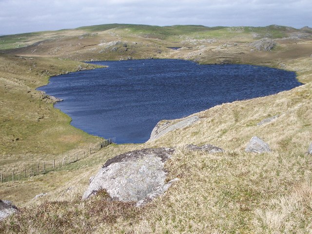
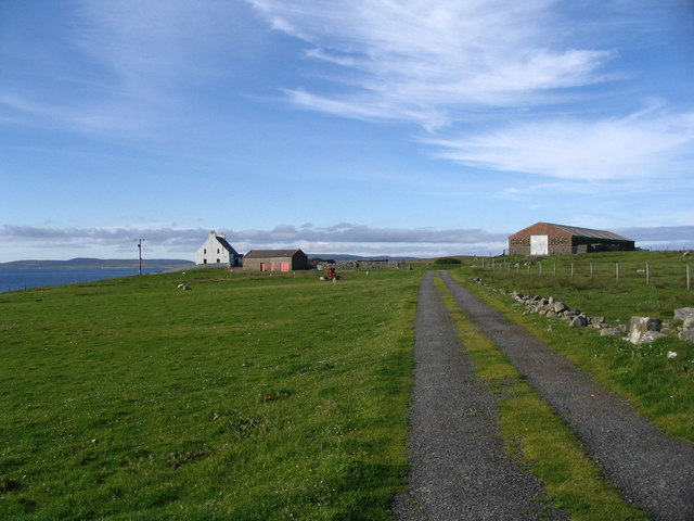
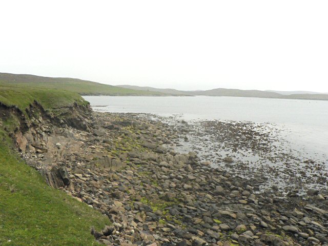
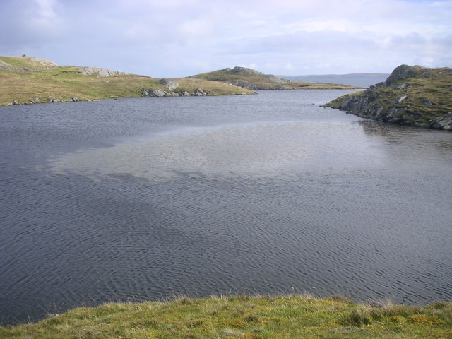
Images are sourced within 2km of 60.423217/-1.0997665 or Grid Reference HU4971. Thanks to Geograph Open Source API. All images are credited.
Ayre of Hamnavoe is located at Grid Ref: HU4971 (Lat: 60.423217, Lng: -1.0997665)
Unitary Authority: Shetland Islands
Police Authority: Highlands and Islands
What 3 Words
///notion.major.powering. Near Vidlin, Shetland Islands
Nearby Locations
Related Wikis

Lunna Ness
Lunna Ness is a peninsula in the north east of Mainland, Shetland, Scotland , in the parish of Lunnasting near Vidlin. The island of Lunna Holm is nearby...

Lunna House
Lunna House is a 17th-century laird's house on Lunna Ness in the Shetland Islands. Lunna House is noted for having "the best historic designed landscape...
Fish Holm
Fish Holm is a small island, 1.5 miles (2.4 km) east of Mainland, Shetland. It is near the village of Mossbank. It is 20 metres (66 ft) at its highest...
Linga, Yell Sound
Linga is one of the Shetland Islands, in Yell Sound. == Geography and geology == Linga is an extremely common name in Shetland, meaning heather island...

Lunna Holm
Lunna Holm is a small island near Lunna Ness (Mainland, Shetland), in the Shetland Islands. It is 27 metres (89 ft) at its highest point. == Lighthouse... ==

Samphrey
Samphrey (Scots: Samphrey; Old Norse: Sandfriðarey) is an uninhabited island in the Shetland Islands, Scotland. One of Fair Isle's old names is "Friðarey...
Firth, Shetland
Note: "Firth" is a common name for sounds in ShetlandFirth is a village in the north east of Mainland, Shetland, Scotland, in the parish of Delting, not...
Mossbank, Shetland
Mossbank is a village in the north east of the Mainland of Shetland, Scotland. Originally served by an inter island ferry steamer from Lerwick, this ceased...
Nearby Amenities
Located within 500m of 60.423217,-1.0997665Have you been to Ayre of Hamnavoe?
Leave your review of Ayre of Hamnavoe below (or comments, questions and feedback).