Great Twizle Clough
Valley in Yorkshire
England
Great Twizle Clough
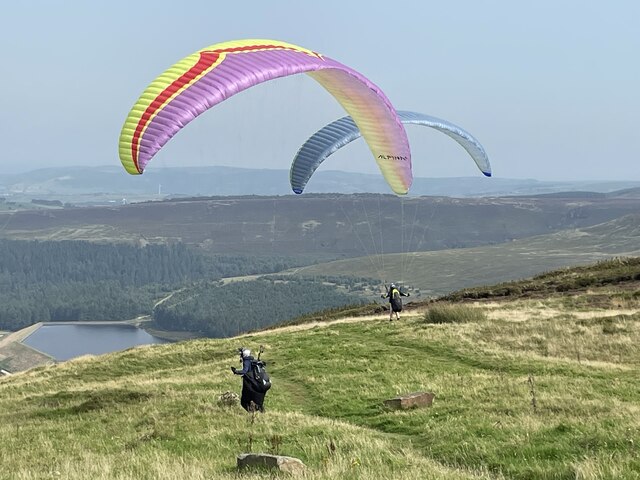
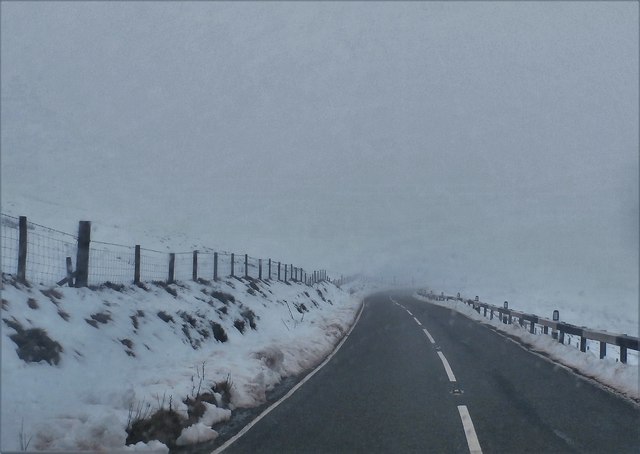
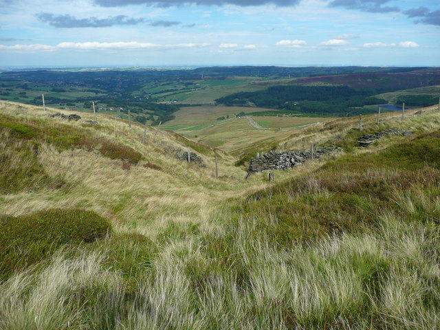
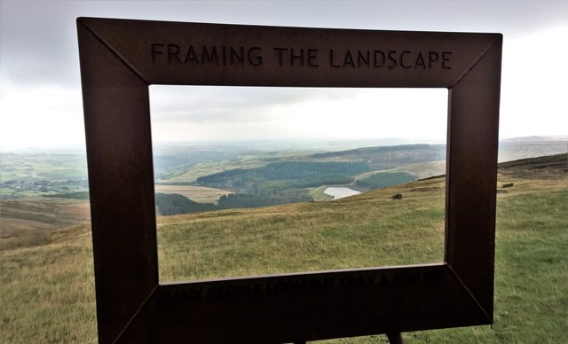
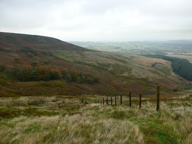
Great Twizle Clough is a picturesque valley located in the Yorkshire Dales National Park in Yorkshire, England. This stunning natural landscape is renowned for its rugged beauty and is a popular destination for outdoor enthusiasts and nature lovers alike.
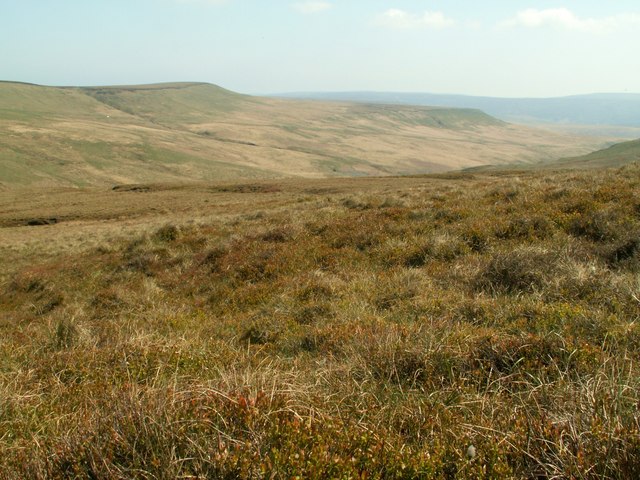
The valley is characterized by its steep sides, which are covered in dense woodlands and rocky outcrops, creating a dramatic and enchanting atmosphere. The Great Twizle Beck, a small stream, meanders through the valley, adding to its charm and providing a peaceful soundtrack to the surroundings.
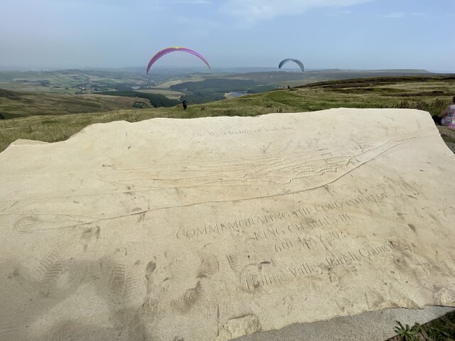
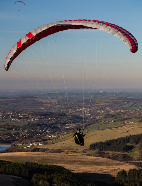
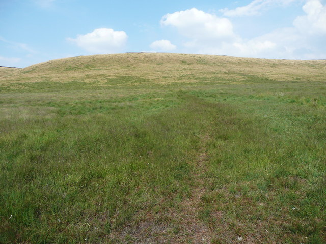
Hikers and walkers are drawn to Great Twizle Clough for its extensive network of trails and paths that crisscross the area. These trails offer breathtaking views of the surrounding countryside, including rolling hills, open moorlands, and cascading waterfalls. The valley is also home to a diverse range of flora and fauna, making it an ideal spot for wildlife enthusiasts and birdwatchers.
At the heart of Great Twizle Clough, there is a small hamlet that serves as a base for visitors looking to explore the area. The hamlet offers basic amenities, including a pub and a few accommodation options, allowing visitors to enjoy a comfortable stay while immersing themselves in the natural beauty of the valley.
Overall, Great Twizle Clough is a hidden gem in the Yorkshire Dales, offering a tranquil escape from the hustle and bustle of city life. Its awe-inspiring landscapes, abundant wildlife, and peaceful ambiance make it a must-visit destination for those seeking a true Yorkshire countryside experience.
If you have any feedback on the listing, please let us know in the comments section below.
Great Twizle Clough Images
Images are sourced within 2km of 53.531812/-1.8337696 or Grid Reference SE1103. Thanks to Geograph Open Source API. All images are credited.
Great Twizle Clough is located at Grid Ref: SE1103 (Lat: 53.531812, Lng: -1.8337696)
Division: West Riding
Unitary Authority: Kirklees
Police Authority: West Yorkshire
What 3 Words
///butchers.gear.dizziness. Near Holmfirth, West Yorkshire
Nearby Locations
Related Wikis
Britland Edge Hill
Britland Edge Hill is a hill, 523 metres (1,716 ft) high, in the Peak District in England. It is located on the border of Derbyshire and West Yorkshire...

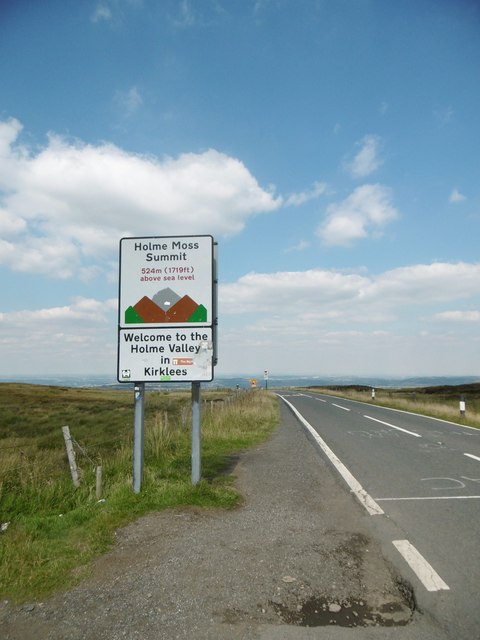
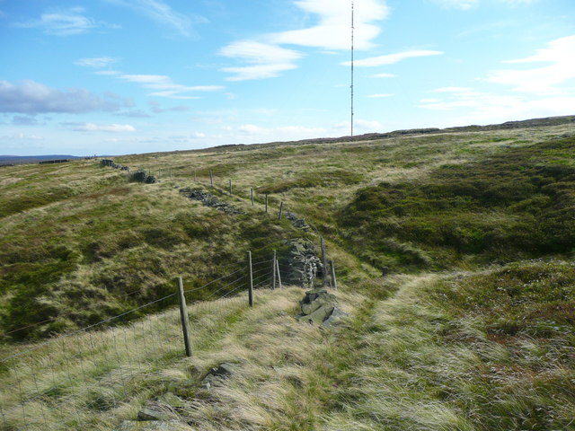
Holme Moss
Holme Moss (1,719 feet or 524 metres a.s.l.) is high moorland on the border between the Holme Valley district of Kirklees in West Yorkshire and the High...

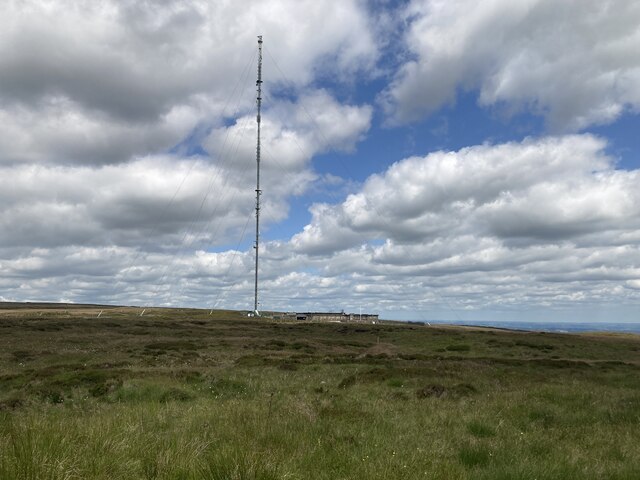
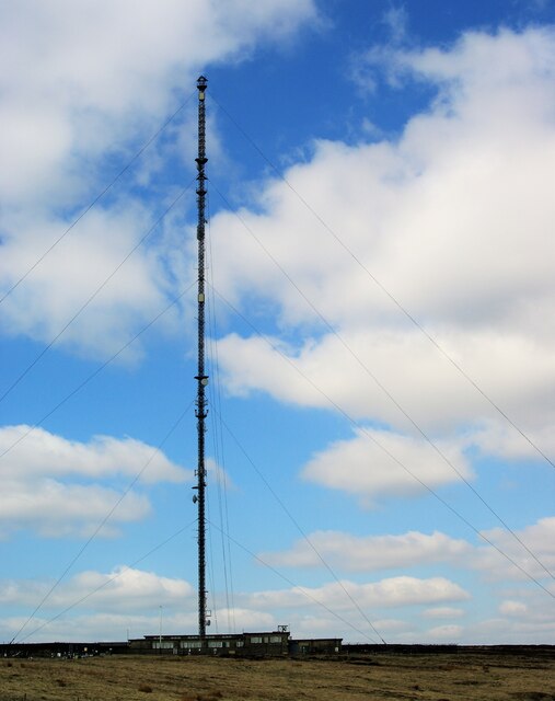
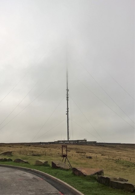
Holme Moss transmitting station
The Holme Moss transmitting station is a radio transmitting station at Holme Moss in West Yorkshire, England. The mast provides VHF coverage of both FM...

Underhill, Holme
Underhill at Holme, West Yorkshire, is a modern house designed by Arthur Quarmby in 1969 and built from 1973 to 1975. Underhill has been Grade II listed...

Holme, West Yorkshire
Holme is a village in the Holme Valley civil parish of Kirklees in West Yorkshire, England. The village straddles the A6024 road between Holmbridge and...

Holmbridge
Holmbridge is a small village on the A6024 to the southwest of Holmfirth and south of Huddersfield in West Yorkshire, England. It is in the parish of...
Digley Reservoir
Digley Reservoir is a lake located downstream of Bilberry Reservoir, 2 miles (3.2 km) south west of Holmfirth, in West Yorkshire, England. The reservoir...
Holmfirth floods
The Holmfirth floods were a number of instances when severe flooding had occurred in the Holme Valley, West Yorkshire, England affecting Holmfirth and...
Nearby Amenities
Located within 500m of 53.531812,-1.8337696Have you been to Great Twizle Clough?
Leave your review of Great Twizle Clough below (or comments, questions and feedback).