Bailie Causeway Moss
Downs, Moorland in Yorkshire
England
Bailie Causeway Moss
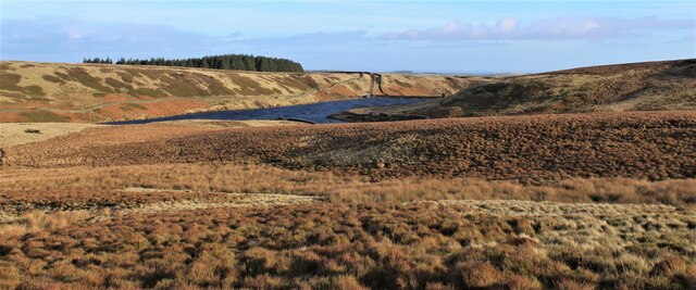
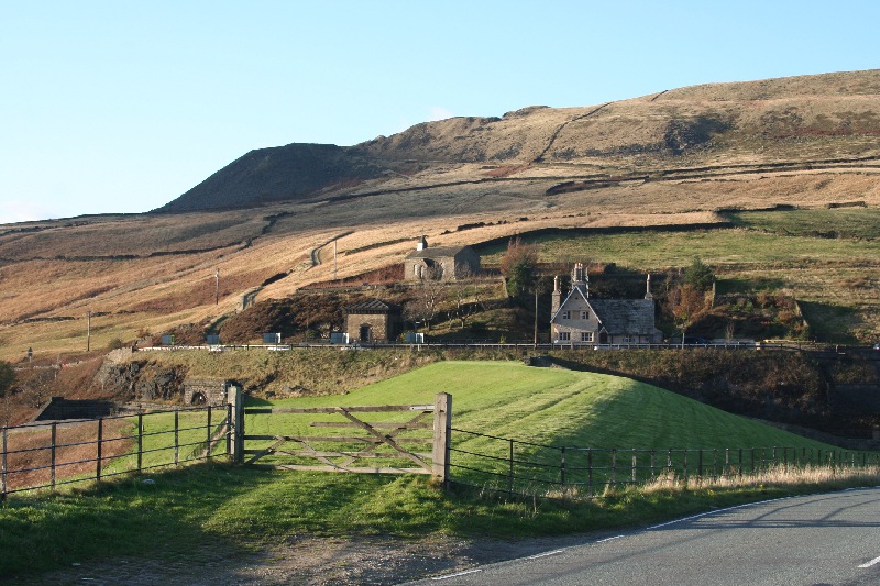
Bailie Causeway Moss is a picturesque region located in Yorkshire, England, encompassing the stunning landscape of the Yorkshire Downs and Moorland. Spanning approximately 200 square kilometers, this area is renowned for its natural beauty and diverse ecosystems.
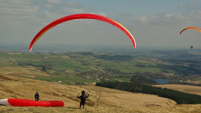
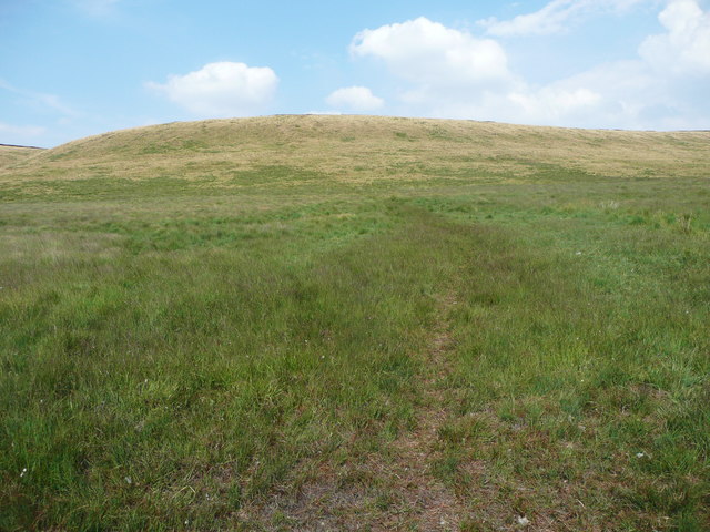
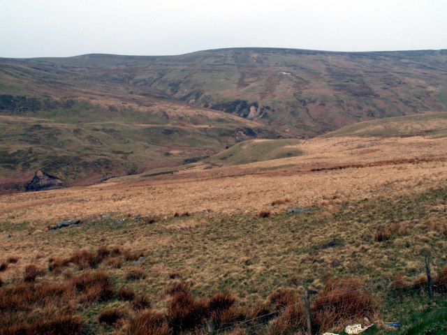
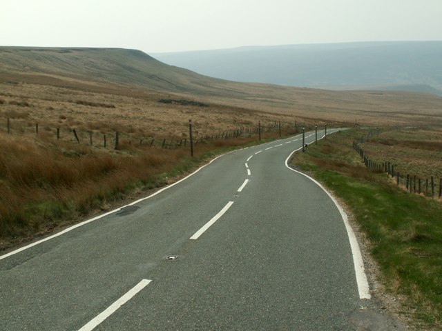
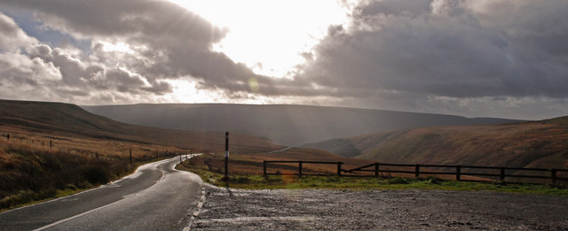
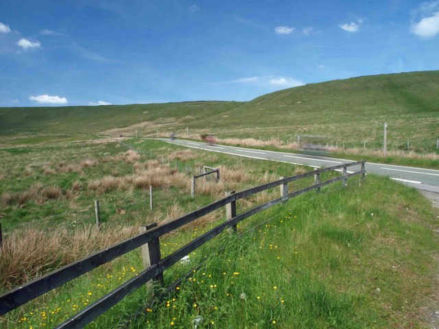
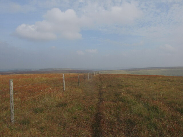
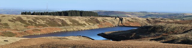
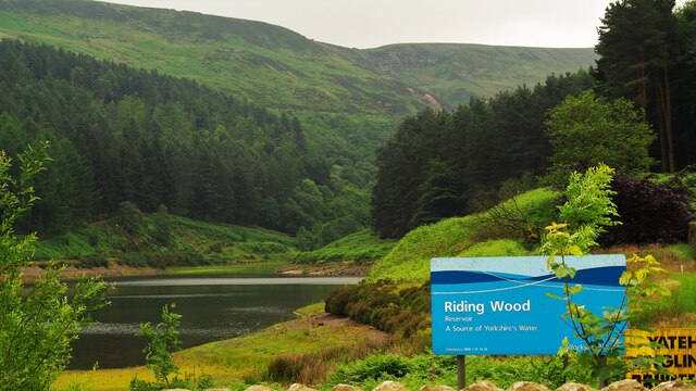
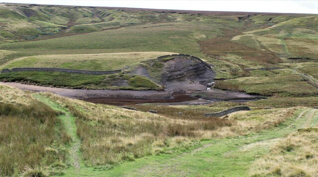
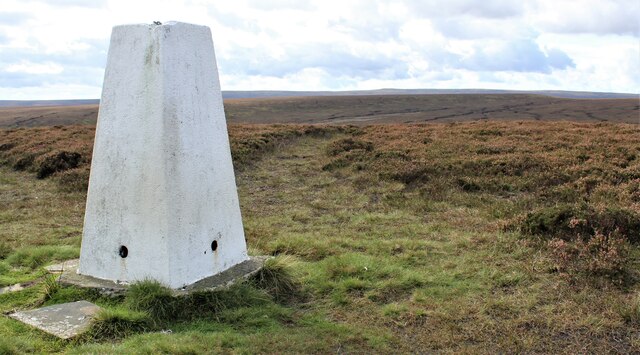
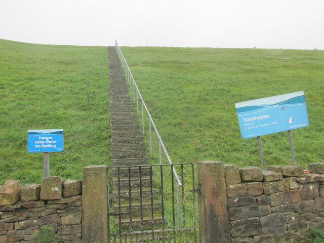
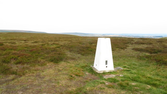
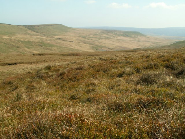
The moss is characterized by its rolling hills, open heathlands, and expansive peat bogs. The landscape is dominated by a combination of heather, grasses, and wildflowers, creating a vibrant tapestry of color during the summer months. The moss is also home to a variety of wildlife, including birds such as curlews, lapwings, and skylarks, as well as small mammals like voles and shrews.
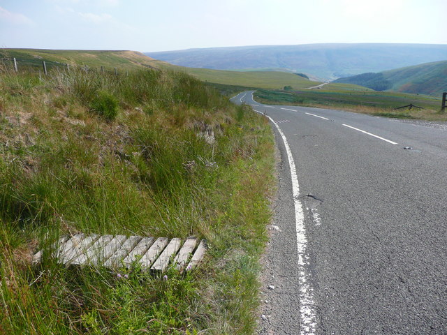
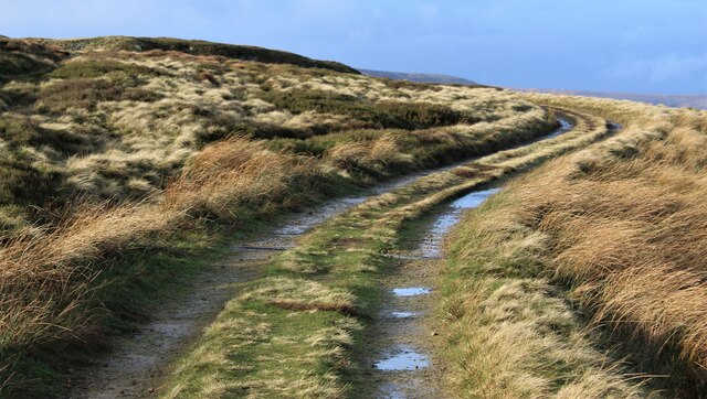
The region is crisscrossed by numerous walking trails and footpaths, allowing visitors to explore the area's natural wonders. The Bailie Causeway, a historic pathway that dates back to medieval times, is a popular route for hikers and nature enthusiasts. The trail winds through the moss, offering breathtaking views of the surrounding countryside.
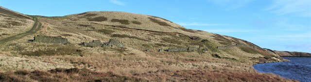
In addition to its natural attractions, Bailie Causeway Moss is also steeped in history. The area is dotted with ancient archaeological sites, including burial mounds and standing stones, providing insights into the region's rich past.
Overall, Bailie Causeway Moss is a haven for outdoor enthusiasts and nature lovers alike. Its stunning landscapes, diverse wildlife, and historical significance make it a must-visit destination in Yorkshire, offering a unique and unforgettable experience for visitors.
If you have any feedback on the listing, please let us know in the comments section below.
Bailie Causeway Moss Images
Images are sourced within 2km of 53.523672/-1.8238916 or Grid Reference SE1103. Thanks to Geograph Open Source API. All images are credited.
Bailie Causeway Moss is located at Grid Ref: SE1103 (Lat: 53.523672, Lng: -1.8238916)
Division: West Riding
Unitary Authority: Kirklees
Police Authority: West Yorkshire
What 3 Words
///spelled.curve.childcare. Near Holmfirth, West Yorkshire
Nearby Locations
Related Wikis
Britland Edge Hill
Britland Edge Hill is a hill, 523 metres (1,716 ft) high, in the Peak District in England. It is located on the border of Derbyshire and West Yorkshire...

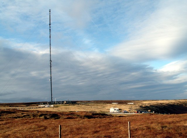
Holme Moss
Holme Moss (1,719 feet or 524 metres a.s.l.) is high moorland on the border between the Holme Valley district of Kirklees in West Yorkshire and the High...

Holme Moss transmitting station
The Holme Moss transmitting station is a radio transmitting station at Holme Moss in West Yorkshire, England. The mast provides VHF coverage of both FM...

Underhill, Holme
Underhill at Holme, West Yorkshire, is a modern house designed by Arthur Quarmby in 1969 and built from 1973 to 1975. Underhill has been Grade II listed...

Holme, West Yorkshire
Holme is a village in the Holme Valley civil parish of Kirklees in West Yorkshire, England. The village straddles the A6024 road between Holmbridge and...
Woodhead railway station
Woodhead railway station was a railway station that served the hamlet of Woodhead on the Woodhead Line. == History == The station was opened on 8 April...
Woodhead, Derbyshire
Woodhead is a small and scattered settlement at the head of the Longdendale valley in Derbyshire, England. It lies on the trans-Pennine A628 road connecting...

Winscar Reservoir
Winscar Reservoir (also known as Winscar dam), is a compensation reservoir on the headwaters of the River Don in South Yorkshire, England. The reservoir...
Nearby Amenities
Located within 500m of 53.523672,-1.8238916Have you been to Bailie Causeway Moss?
Leave your review of Bailie Causeway Moss below (or comments, questions and feedback).