Pott Moor

Downs, Moorland in Yorkshire Harrogate

England

Pott Moor

Disused Railway Tunnel by the Scar House Road Now part of a small car park in Upper Nidderdale - this tunnel once contained part of the light railway that was used in the construction of Scar House and Angram Reservoirs, principally the enormous dams.  It used to run all the way from Pateley Bridge, but was dismantled on completion of the project.
Some call it Goyden Pot Tunnel.
Disused Railway Tunnel by the Scar House Road Credit: Chris Heaton

Pott Moor is a picturesque area located in Yorkshire, England. Situated within the stunning Yorkshire Downs, this region is renowned for its captivating moorland landscape. Spanning over several miles, Pott Moor offers a unique blend of rugged terrain, heather-covered hills, and rolling countryside.

The moorland of Pott Moor is characterized by its vast expanses of open space, dotted with patches of vibrant purple heather during the summer months. This creates a breathtaking sight as far as the eye can see, offering a true sense of tranquility and natural beauty. The area is also home to a diverse range of wildlife, including various bird species, mammals, and insects, making it a haven for nature enthusiasts and birdwatchers.

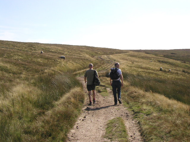
Pott Moor is a popular destination for outdoor activities such as hiking, cycling, and horseback riding. The network of footpaths and trails that crisscross the moorland provides ample opportunities for exploration. One of the most well-known paths is the Pennine Way, which passes through Pott Moor, attracting long-distance walkers from around the world.

In addition to its natural charm, Pott Moor boasts a rich cultural heritage. The area is scattered with remnants of ancient settlements, stone circles, and burial mounds, serving as a testament to the region's long history. Visitors can immerse themselves in the past by exploring these archaeological sites and gaining a glimpse into the lives of the people who once inhabited this land.

Overall, Pott Moor in Yorkshire is a captivating destination that offers a perfect blend of stunning natural beauty, outdoor activities, and a rich cultural heritage. Whether it's a peaceful hike through the heather-clad hills or a journey into the past, Pott Moor has something to offer for everyone.

If you have any feedback on the listing, please let us know in the comments section below.
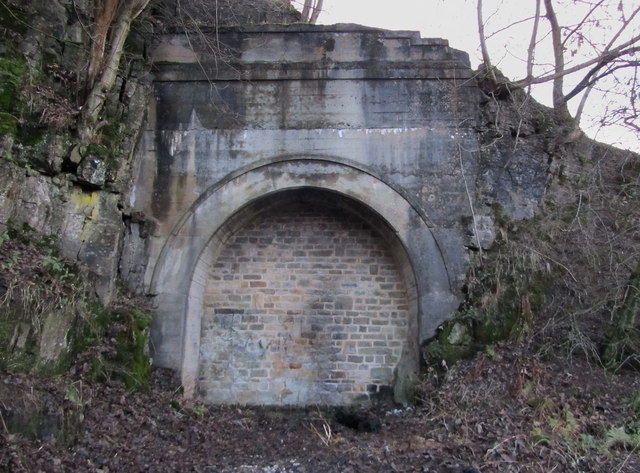
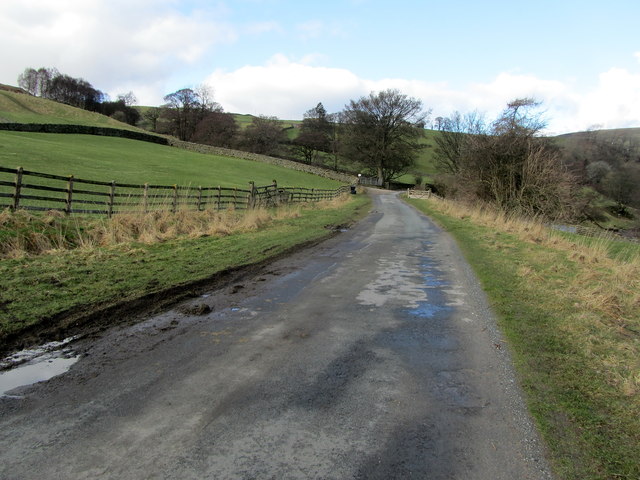
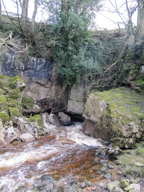
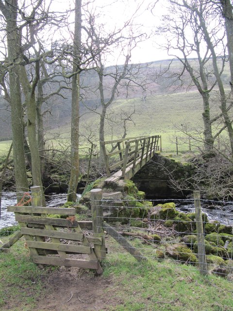
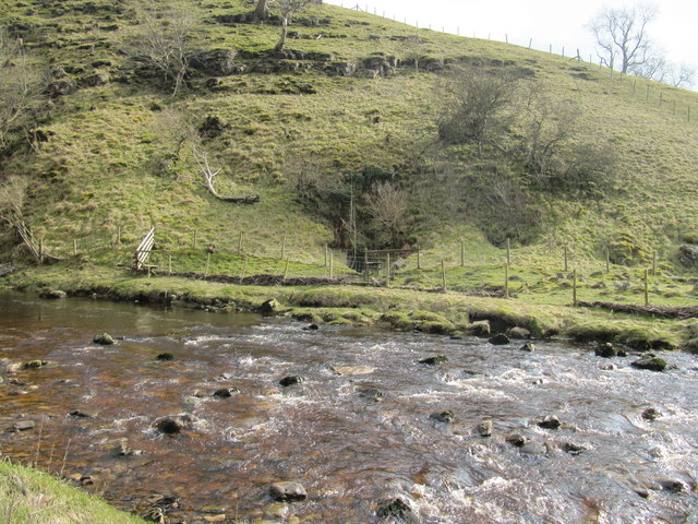
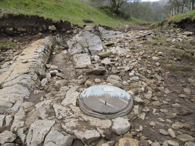
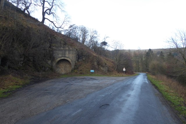
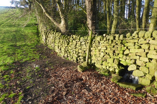
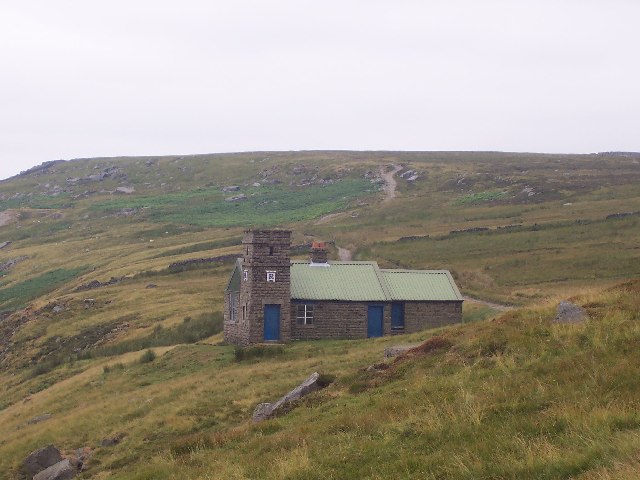
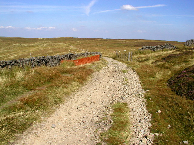
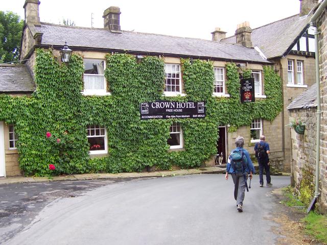
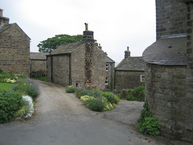
Pott Moor Images

Images are sourced within 2km of 54.179686/-1.8215339 or Grid Reference SE1176. Thanks to Geograph Open Source API. All images are credited.

Disused Railway Tunnel by the Scar House Road Now part of a small car park in Upper Nidderdale - this tunnel once contained part of the light railway that was used in the construction of Scar House and Angram Reservoirs, principally the enormous dams.  It used to run all the way from Pateley Bridge, but was dismantled on completion of the project.
Some call it Goyden Pot Tunnel.
Disused Railway Tunnel by the Scar House Road
Now part of a small car park in Upper Nidderdale - this tunnel once contained part of the light railway that was used in the construction of Scar House and Angram Reservoirs, principally the enormous dams. It used to run all the way from Pateley Bridge, but was dismantled on completion of the project. Some call it Goyden Pot Tunnel.
Road outside Limley Farm This is the long access road for Scar House and Angram Reservoirs and belongs to the water company. Much of it follows the course of an old railway line, used in the construction of the huge dams that hold back the waters of the upper reaches of Nidderdale.
It is open to the general public.
Road outside Limley Farm
This is the long access road for Scar House and Angram Reservoirs and belongs to the water company. Much of it follows the course of an old railway line, used in the construction of the huge dams that hold back the waters of the upper reaches of Nidderdale. It is open to the general public.
Goyden Pot If the water sinks near Manchester Hole are unable to take the full volume of the River Nidd, then it continues southwards to Goyden Pot and enters the Nidderdale Cave System here.  Only if Goyden Pot cannot take the full river volume does it continue flowing above ground beyond this point.
Note the stranded tree trunk to the left of the cave entrance, showing how much higher the river level can reach here.
Goyden Pot
If the water sinks near Manchester Hole are unable to take the full volume of the River Nidd, then it continues southwards to Goyden Pot and enters the Nidderdale Cave System here. Only if Goyden Pot cannot take the full river volume does it continue flowing above ground beyond this point. Note the stranded tree trunk to the left of the cave entrance, showing how much higher the river level can reach here.
Footbridge across the River Nidd The footpath following the course of river Nidd crosses it at this point.
Footbridge across the River Nidd
The footpath following the course of river Nidd crosses it at this point.
River Nidd next to Manchester Hole At this point, the River Nidd is often dry, having sunk underground a short distance to the north of here.  Manchester Hole (which appears to be right on the boundary with grid square SE1076) is on the far bank of the river among the bushes at the centre of this photograph, and provides an entrance into the Nidderdale Cave System.
River Nidd next to Manchester Hole
At this point, the River Nidd is often dry, having sunk underground a short distance to the north of here. Manchester Hole (which appears to be right on the boundary with grid square SE1076) is on the far bank of the river among the bushes at the centre of this photograph, and provides an entrance into the Nidderdale Cave System.
Church Pot Entrance to Church Pot in the dry bed of the River Nidd.
Church Pot
Entrance to Church Pot in the dry bed of the River Nidd.
Old tunnel The tunnel carried one track of the railway to the reservoirs at Scar House and Angram.
Old tunnel
The tunnel carried one track of the railway to the reservoirs at Scar House and Angram.
Stream and wall This wall has been built to allow the stream to continue its course.
Stream and wall
This wall has been built to allow the stream to continue its course.
Shooting House on Pott Moor
The view over to the North York Moors Looking NEE from just within the square at MR: SE11017704 towards the North York Moors several miles in the distance.
The view over to the North York Moors
Looking NEE from just within the square at MR: SE11017704 towards the North York Moors several miles in the distance.
The track to Lofthouse Taken just within the square at MR: SE11017664 looking SSE.
The track to Lofthouse
Taken just within the square at MR: SE11017664 looking SSE.
From the path to Lofthouse Looking in a NE direction from MR: SE10897621.
From the path to Lofthouse
Looking in a NE direction from MR: SE10897621.
On the track to Lofthouse Looking southwards towards the shooting lodge from MR: SE10817577
On the track to Lofthouse
Looking southwards towards the shooting lodge from MR: SE10817577
Castellated Shooting Lodge Photo taken at MR: SE10747525 looking northwards.
Castellated Shooting Lodge
Photo taken at MR: SE10747525 looking northwards.
Moorland view Looking NEE towards the Lofthouse moorland road from the bridlepath at MR: SE11027505.
Moorland view
Looking NEE towards the Lofthouse moorland road from the bridlepath at MR: SE11027505.
Moorland road Taken at MR: SE11307475 looking in a north easterly direction.
Moorland road
Taken at MR: SE11307475 looking in a north easterly direction.
Stupid Sheep! Of all the places this sheep could have chosen to stand, it chose here!
Stupid Sheep!
Of all the places this sheep could have chosen to stand, it chose here!
High Ash Head Moor The road from Lofthouse to Leighton Reservoir goes through Heather moorland.  Similar view both sides of the road.  Good place to see Red Grouse.
High Ash Head Moor
The road from Lofthouse to Leighton Reservoir goes through Heather moorland. Similar view both sides of the road. Good place to see Red Grouse.
Show me another place!

Pott Moor is located at Grid Ref: SE1176 (Lat: 54.179686, Lng: -1.8215339)

Division: North Riding

Administrative County: North Yorkshire

District: Harrogate

Police Authority: North Yorkshire

What 3 Words

///warbler.soups.dote. Near Pateley Bridge, North Yorkshire

Nearby Locations

Pott Moor

Related Wikis

Nidderdale Caves

The Nidderdale Caves are a series of caves in Upper Nidderdale in North Yorkshire, England. There are two cave systems and most of the caves are in some...

Skipton and Ripon (UK Parliament constituency)

Skipton and Ripon is a constituency in North Yorkshire represented in the House of Commons of the UK Parliament since 2010 by Julian Smith, a Conservative...

Lofthouse, North Yorkshire

Lofthouse is a small village in Nidderdale in the Harrogate district of North Yorkshire, England about a mile south of Middlesmoor. It is the principal...

Middlesmoor

Middlesmoor is a small hill village at the head of Nidderdale in the Harrogate district of North Yorkshire, England. Middlesmoor is the principal settlement...

Nearby Amenities

Located within 500m of 54.179686,-1.8215339
Shooting Stand
Source: Bing
Lat/Long: 54.1788601/-1.8147132
Shooting Stand
Source: Bing
Lat/Long: 54.178923/-1.8140426
Shooting Stand
Source: Bing
Lat/Long: 54.1787753/-1.8154106
The data included in this document is from www.openstreetmap.org. The data is made available under ODbL.

Have you been to Pott Moor?

Leave your review of Pott Moor below (or comments, questions and feedback).