Little Twizle Clough
Valley in Yorkshire
England
Little Twizle Clough
Little Twizle Clough is a picturesque valley located in the county of Yorkshire, England. Nestled amidst the stunning landscape of the Yorkshire Dales, this small yet captivating clough draws visitors with its natural beauty and tranquil ambiance.
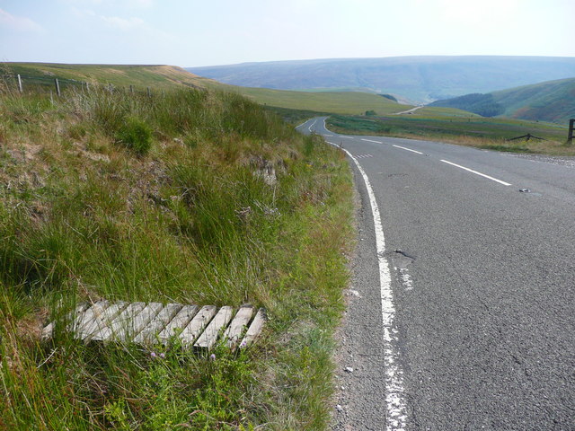
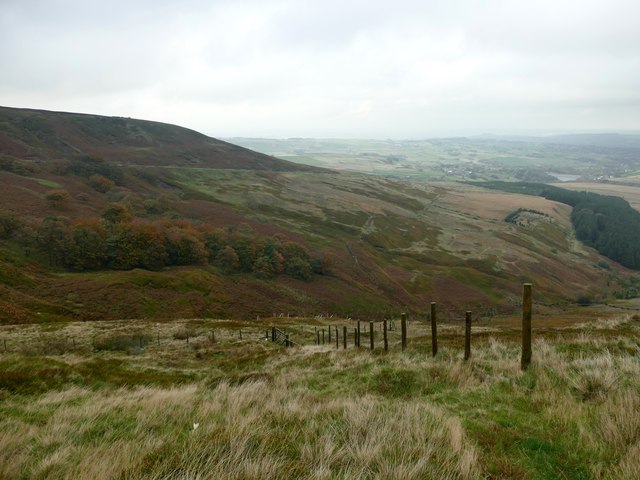
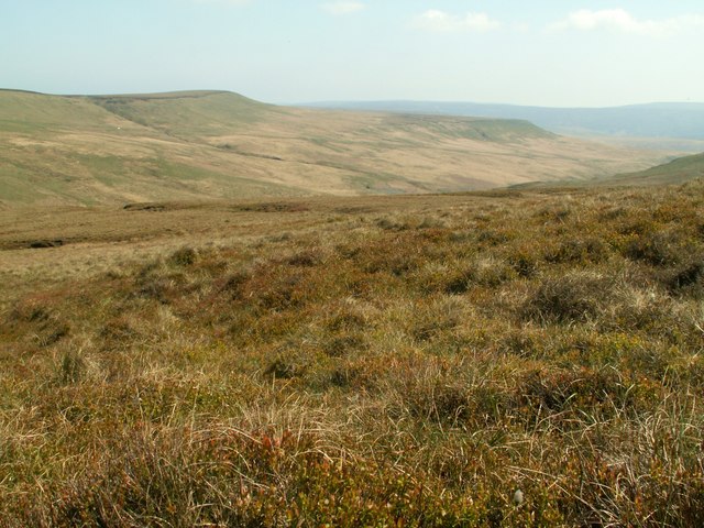
The valley is characterized by lush green meadows, rolling hills, and babbling streams that meander through the landscape. The clough is surrounded by rocky outcrops and steep slopes, providing a dramatic backdrop to the scenery. The vegetation in the area is diverse, with a mix of wildflowers, ferns, and native grasses creating a vibrant and colorful display during the warmer months.
Little Twizle Clough is also home to a variety of wildlife. The valley provides a natural habitat for several bird species, including the iconic red kite, as well as small mammals such as rabbits, hares, and foxes. Visitors may even catch a glimpse of the elusive red squirrels that inhabit the area.
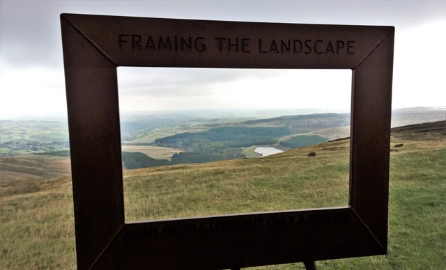
The clough offers numerous walking and hiking trails, allowing visitors to explore its beauty at their own pace. The paths wind through the valley, offering breathtaking views at every turn. One popular route takes visitors to the clough's highest point, from where they can admire panoramic vistas of the surrounding countryside.
For those seeking a peaceful and idyllic escape, Little Twizle Clough in Yorkshire is a perfect destination. Its natural charm, diverse flora and fauna, and tranquil atmosphere make it a must-visit location for nature enthusiasts and those looking to immerse themselves in the beauty of the Yorkshire countryside.
If you have any feedback on the listing, please let us know in the comments section below.
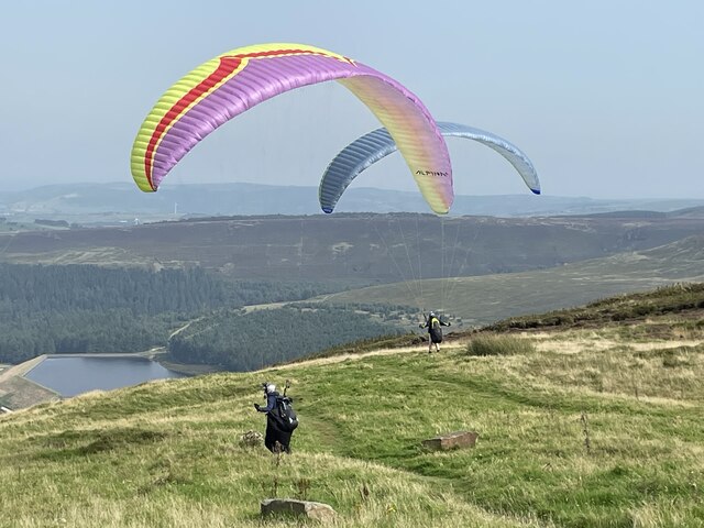
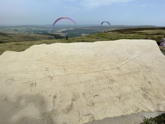
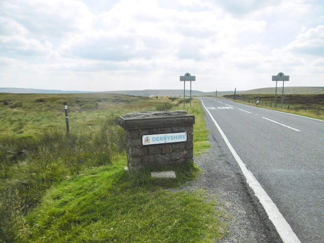
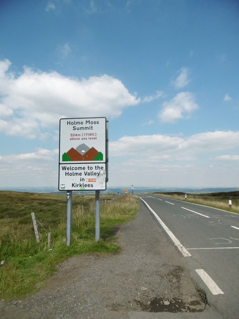
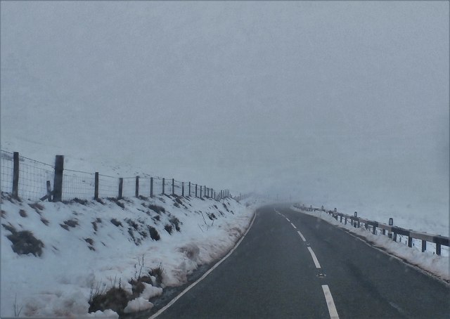
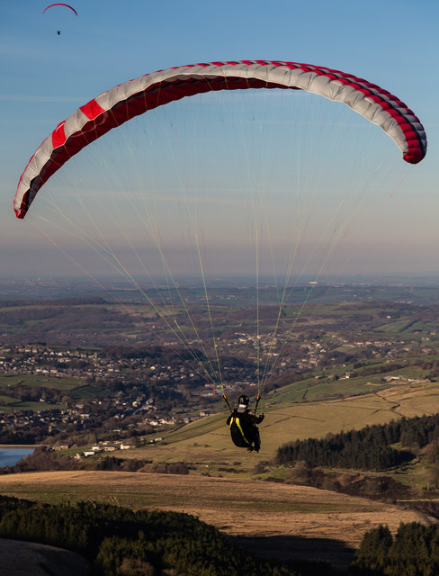
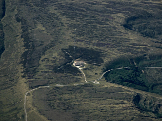
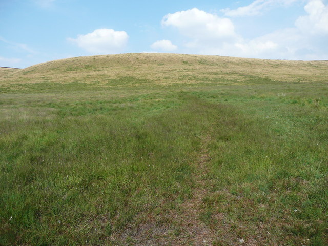
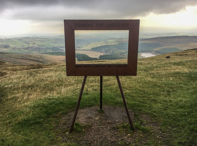
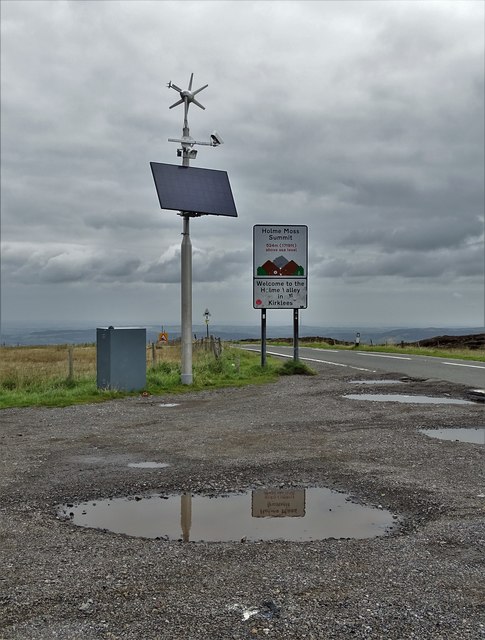
Little Twizle Clough Images
Images are sourced within 2km of 53.530817/-1.8295192 or Grid Reference SE1103. Thanks to Geograph Open Source API. All images are credited.
Little Twizle Clough is located at Grid Ref: SE1103 (Lat: 53.530817, Lng: -1.8295192)
Division: West Riding
Unitary Authority: Kirklees
Police Authority: West Yorkshire
What 3 Words
///choppers.endings.remaining. Near Holmfirth, West Yorkshire
Nearby Locations
Related Wikis
Britland Edge Hill
Britland Edge Hill is a hill, 523 metres (1,716 ft) high, in the Peak District in England. It is located on the border of Derbyshire and West Yorkshire...

Holme Moss
Holme Moss (1,719 feet or 524 metres a.s.l.) is high moorland on the border between the Holme Valley district of Kirklees in West Yorkshire and the High...

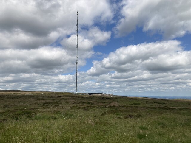
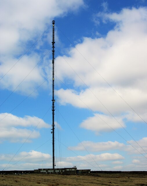
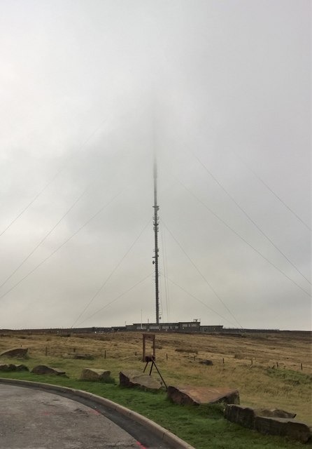
Holme Moss transmitting station
The Holme Moss transmitting station is a radio transmitting station at Holme Moss in West Yorkshire, England. The mast provides VHF coverage of both FM...

Underhill, Holme
Underhill at Holme, West Yorkshire, is a modern house designed by Arthur Quarmby in 1969 and built from 1973 to 1975. Underhill has been Grade II listed...

Holme, West Yorkshire
Holme is a village in the Holme Valley civil parish of Kirklees in West Yorkshire, England. The village straddles the A6024 road between Holmbridge and...

Holmbridge
Holmbridge is a small village on the A6024 to the southwest of Holmfirth and south of Huddersfield in West Yorkshire, England. It is in the parish of...

Lane, West Yorkshire
Lane Village is a small hamlet 3 miles (4.8 km) southwest of Holmfirth and approximately half a mile southwest of Holme Village on the A6024 Woodhead Road...
Digley Reservoir
Digley Reservoir is a lake located downstream of Bilberry Reservoir, 2 miles (3.2 km) south west of Holmfirth, in West Yorkshire, England. The reservoir...
Nearby Amenities
Located within 500m of 53.530817,-1.8295192Have you been to Little Twizle Clough?
Leave your review of Little Twizle Clough below (or comments, questions and feedback).