Herbage Moss

Downs, Moorland in Yorkshire

England

Herbage Moss

Paragliding from Holme Moss View with the Holme valley below
Paragliding from Holme Moss Credit: Kevin Waterhouse

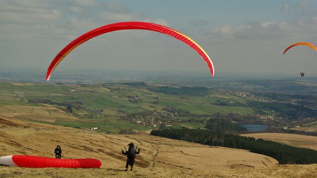
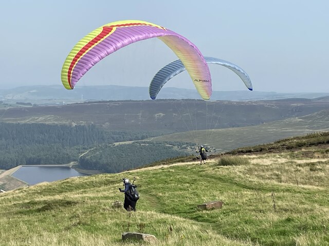
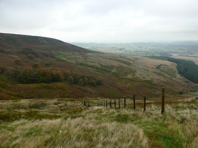
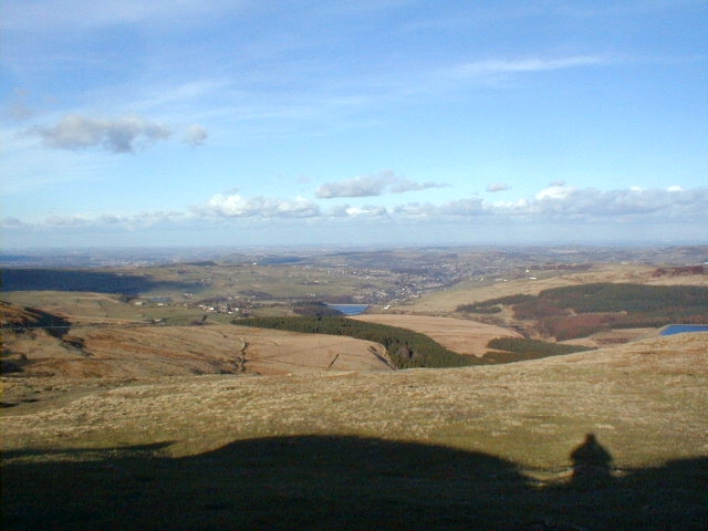
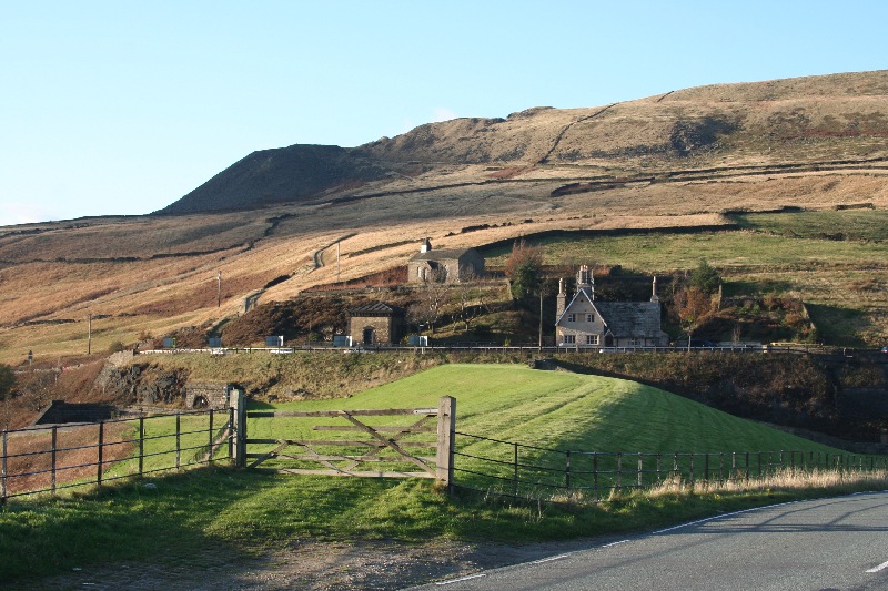
Herbage Moss is a sprawling area located in the Yorkshire region of England, encompassing the scenic landscapes of the Yorkshire Downs and Moorland. Spanning approximately 500 square kilometers, it is renowned for its diverse and abundant flora and fauna, making it a haven for nature enthusiasts and researchers alike.

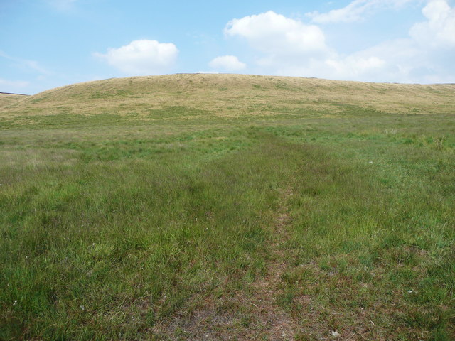
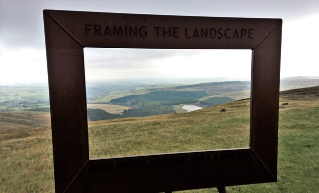
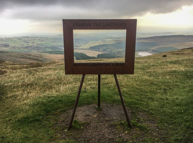
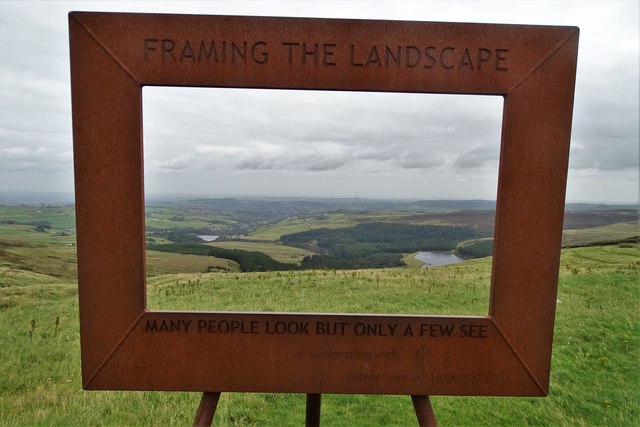
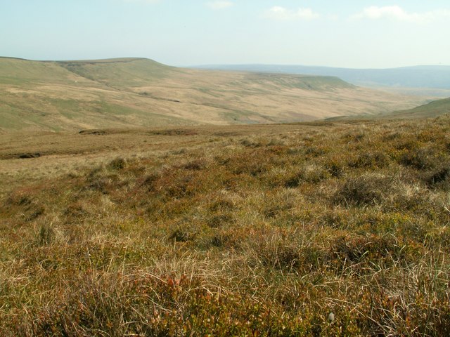
The moss is characterized by its undulating hills, vast stretches of heather, and picturesque valleys. The Yorkshire Downs, with their rolling slopes and lush greenery, offer breathtaking views and are home to a variety of animal species, including red grouse, golden plovers, and curlews. The moorland, on the other hand, is a mosaic of wet and dry habitats, supporting an array of plant life such as cotton grass, sphagnum moss, and bilberry bushes.

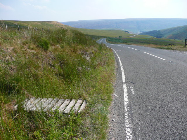
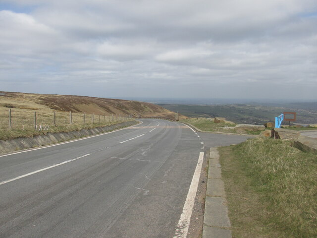
The moss is crisscrossed by an extensive network of walking and hiking trails, allowing visitors to explore its natural beauty at their own pace. These trails cater to both casual strollers and avid hikers, with options ranging from gentle ambles along the valley floors to more challenging ascents up the steep hillsides.

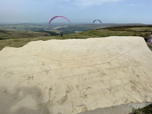
In addition to its ecological significance, Herbage Moss also holds cultural and historical importance. It has been inhabited by humans for centuries, and evidence of ancient settlements can still be found in the form of stone circles and burial mounds. This rich history adds an extra layer of intrigue to the moss, attracting history enthusiasts and archaeologists to its grounds.

Overall, Herbage Moss, with its captivating landscapes, vibrant wildlife, and historical allure, stands as an idyllic destination for those seeking a peaceful retreat or an opportunity to connect with nature.

If you have any feedback on the listing, please let us know in the comments section below.
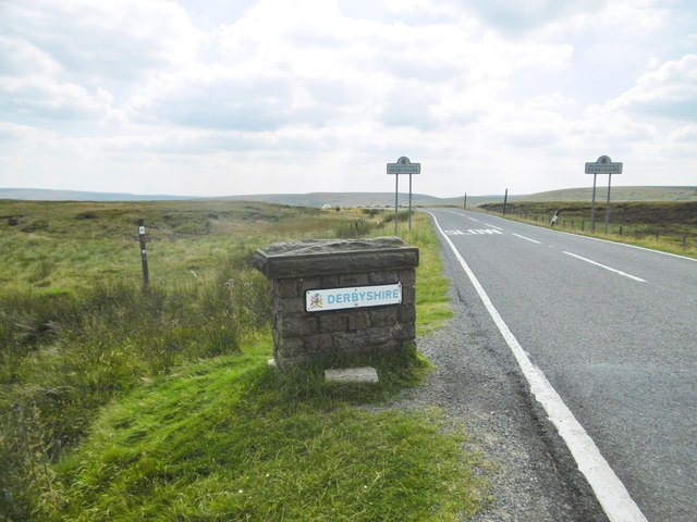
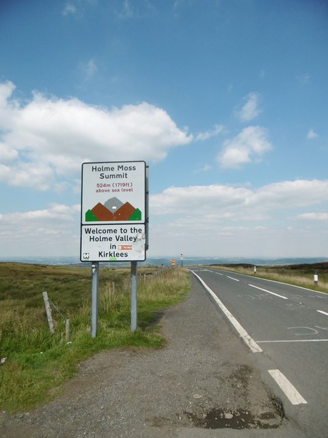
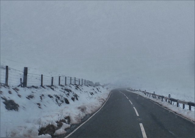
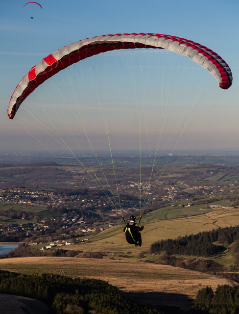
Herbage Moss Images

Images are sourced within 2km of 53.526464/-1.827636 or Grid Reference SE1103. Thanks to Geograph Open Source API. All images are credited.

Paragliding from Holme Moss View with the Holme valley below
Paragliding from Holme Moss
View with the Holme valley below
Car park on Holme Moss On a wet and misty Monday morning. There wasn't much of a view.
Car park on Holme Moss
On a wet and misty Monday morning. There wasn't much of a view.
Paragliders on Holme Moss Two paragliders on top of Holme Moss, near the car park.
Paragliders on Holme Moss
Two paragliders on top of Holme Moss, near the car park.
Holme Moss Commemorative stone for the coronation of King Charles III at top of Holme Moss. Paragliders in background.
Holme Moss
Commemorative stone for the coronation of King Charles III at top of Holme Moss. Paragliders in background.
Holme Moss, boundary post Entering Derbyshire on A6024 at the summit.
Holme Moss, boundary post
Entering Derbyshire on A6024 at the summit.
Holme Moss Summit Entering Yorkshire from Derbyshire on A6024.
Holme Moss Summit
Entering Yorkshire from Derbyshire on A6024.
Woodhead Road
Woodhead Road
Wilmer Hill Paragliding on Wilmer Hill.
Wilmer Hill
Paragliding on Wilmer Hill.
Path onto Britland Edge Hill. Tintwistle This was taken from the gate opposite the first layby down the hill. The path disappears when the steep slope is reached, but keep climbing and the edge of the peat is reached, and then the boundary fence can be seen.
Path onto Britland Edge Hill. Tintwistle
This was taken from the gate opposite the first layby down the hill. The path disappears when the steep slope is reached, but keep climbing and the edge of the peat is reached, and then the boundary fence can be seen.
Footbridge over a ditch alongside the A6024, Tintwistle This is opposite the first layby down the hill. The footbridge leads to a gate and the path shown in <a href="https://www.geograph.org.uk/photo/5857129">SE0902 : Path onto Britland Edge Hill. Tintwistle</a>.
Footbridge over a ditch alongside the A6024, Tintwistle
This is opposite the first layby down the hill. The footbridge leads to a gate and the path shown in SE0902 : Path onto Britland Edge Hill. Tintwistle.
Car park at Holme Moss With picture frame and low cloud
Car park at Holme Moss
With picture frame and low cloud
Frame with a view In Holme Moss car park looking towards Yateholme Reservoir - on a dismal day as the clouds lifted and fell!

After visiting on this day it's easy to understand the gloomy colours in so many of local artist Ashley Jackson's paintings! See; <span class="nowrap"><a title="https://www.ashley-jackson.co.uk/" rel="nofollow ugc noopener" href="https://www.ashley-jackson.co.uk/">Link</a><img style="margin-left:2px;" alt="External link" title="External link - shift click to open in new window" src="https://s1.geograph.org.uk/img/external.png" width="10" height="10"/></span>
Frame with a view
In Holme Moss car park looking towards Yateholme Reservoir - on a dismal day as the clouds lifted and fell! After visiting on this day it's easy to understand the gloomy colours in so many of local artist Ashley Jackson's paintings! See; LinkExternal link
Above Holme Wood Dike The stream drains Holme Moss into Yateholme Reservoir
Above Holme Wood Dike
The stream drains Holme Moss into Yateholme Reservoir
Framing the Landscape 'Many people look but only a few see'. So says this art installation at Holme Moss framing the view over the Holme Valley. This is one of a series placed at viewpoints in Yorkshire by local artist Ashley Jackson. <span class="nowrap"><a title="http://www.framingthelandscape.co.uk/" rel="nofollow ugc noopener" href="http://www.framingthelandscape.co.uk/">Link</a><img style="margin-left:2px;" alt="External link" title="External link - shift click to open in new window" src="https://s1.geograph.org.uk/img/external.png" width="10" height="10"/></span>
Framing the Landscape
'Many people look but only a few see'. So says this art installation at Holme Moss framing the view over the Holme Valley. This is one of a series placed at viewpoints in Yorkshire by local artist Ashley Jackson. LinkExternal link
At Holme Moss Summit on the A6024
A view of the Holme Valley "Framing the Landscape" above the village of Holme.
A view of the Holme Valley
"Framing the Landscape" above the village of Holme.
Holme Valley View from the car park at the top of Holme Moss.
Holme Valley
View from the car park at the top of Holme Moss.
The A6024 Road at Holme Moss.
The A6024
Road at Holme Moss.
Show me another place!

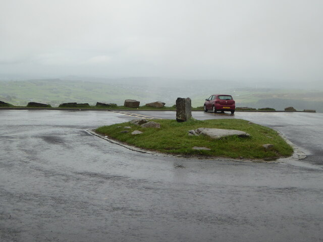
Herbage Moss is located at Grid Ref: SE1103 (Lat: 53.526464, Lng: -1.827636)

Division: West Riding

Unitary Authority: Kirklees

Police Authority: West Yorkshire

What 3 Words

///ethic.student.grafted. Near Holmfirth, West Yorkshire

Related Wikis

Nearby Amenities

Located within 500m of 53.526464,-1.827636
Ford: yes
Lat/Long: 53.526176/-1.8241181
Herbage Hill
Natural: peak
Source: OS Historic
Lat/Long: 53.5299486/-1.8250972
Bailie Causway Moss
Place: locality
Source: OS Historic
Lat/Long: 53.5247955/-1.8210224
Twizle Head Moss
Place: locality
Lat/Long: 53.5266602/-1.8323518
Ford: yes
Lat/Long: 53.5286508/-1.8288591
Ford: yes
Lat/Long: 53.5284272/-1.8277293
The data included in this document is from www.openstreetmap.org. The data is made available under ODbL.

Have you been to Herbage Moss?

Leave your review of Herbage Moss below (or comments, questions and feedback).