Raby Park
Downs, Moorland in Durham
England
Raby Park
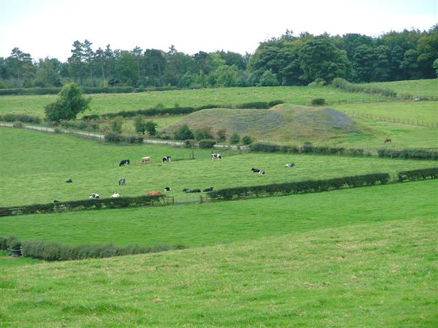
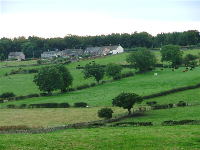
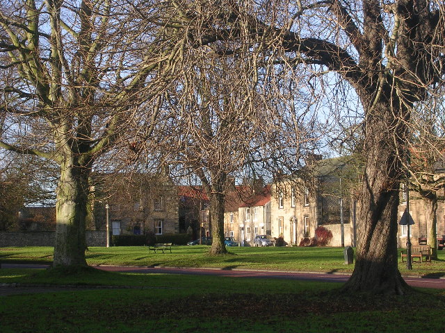
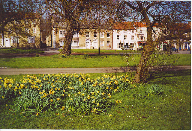
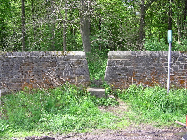
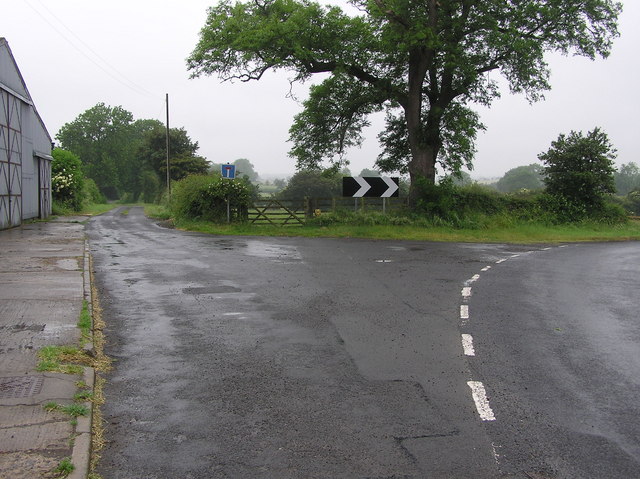
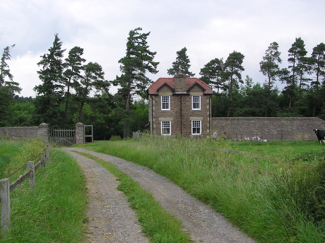
Raby Park, located in Durham, England, is a picturesque and expansive natural area that encompasses Downs and Moorland. Spread over a vast area, Raby Park is a stunning landscape featuring rolling hills, dense woodlands, and open fields. The park is known for its serene and tranquil ambiance, making it a popular destination for nature lovers and outdoor enthusiasts alike.
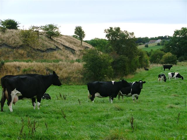
The Downs section of Raby Park offers panoramic views of the surrounding countryside and is particularly renowned for its breathtaking sunsets. Visitors can embark on leisurely walks along the well-maintained pathways, taking in the beauty of the sprawling meadows and ancient trees. The park also boasts a variety of wildlife, including deer, rabbits, and various species of birds, making it a haven for wildlife enthusiasts and photographers.
In contrast, the Moorland area of Raby Park offers a rugged and wild landscape, characterized by heather-clad hills and rocky outcrops. This section of the park provides a more challenging terrain for hikers and adventurers, with its sweeping vistas and the opportunity to explore hidden valleys and streams.
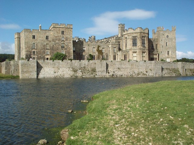
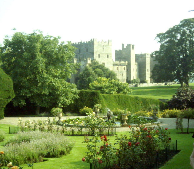
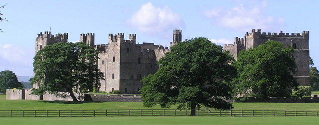
Raby Park is also home to Raby Castle, a magnificent medieval fortress that stands as a centerpiece of the park. This historic landmark offers guided tours, allowing visitors to delve into the rich history and architecture of the castle.
Overall, Raby Park in Durham is a remarkable natural gem that offers a diverse range of landscapes and activities, making it a must-visit destination for those seeking to immerse themselves in the beauty of the English countryside.
If you have any feedback on the listing, please let us know in the comments section below.
Raby Park Images
Images are sourced within 2km of 54.594963/-1.823084 or Grid Reference NZ1122. Thanks to Geograph Open Source API. All images are credited.


Raby Park is located at Grid Ref: NZ1122 (Lat: 54.594963, Lng: -1.823084)
Unitary Authority: County Durham
Police Authority: Durham
What 3 Words
///clubbing.extension.betrayal. Near Staindrop, Co. Durham
Nearby Locations
Related Wikis
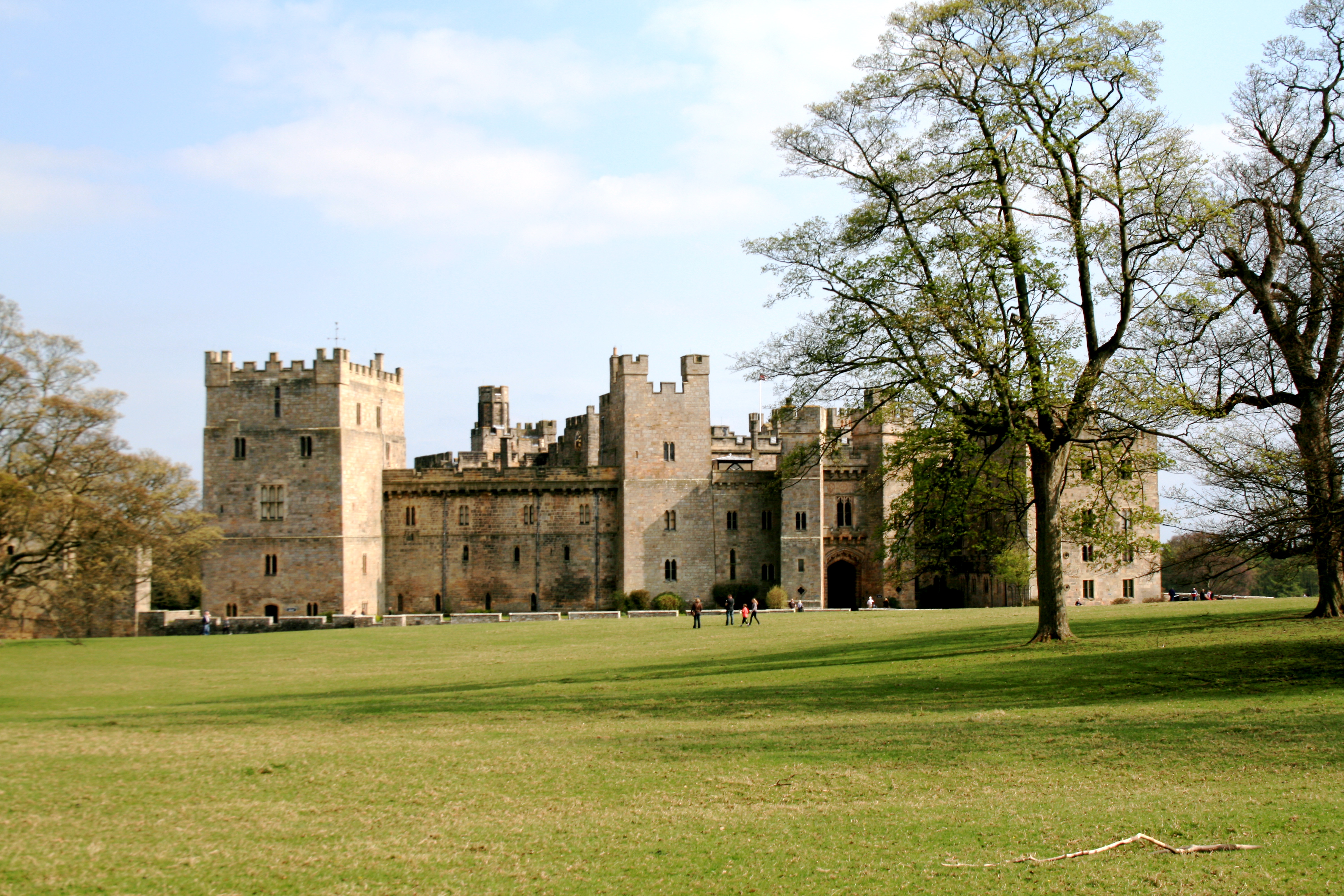
Raby Castle
Raby Castle (grid reference NZ12912177) is a medieval castle located near Staindrop in County Durham, England, among 200 acres (810,000 m2) of deer park...

Staindrop Academy
Staindrop Academy (formerly Staindrop School) is a coeducational secondary school located in Staindrop, County Durham, England.Previously a community school...

Staindrop
Staindrop is a village and civil parish in County Durham, England. It is situated approximately 6 miles (9.7 km) north east of Barnard Castle, on the A688...

Cockfield, County Durham
Cockfield is a village on the edge of Teesdale, County Durham, England. It is situated 8 miles to the south-west of Bishop Auckland, 15 miles (24 km) north...
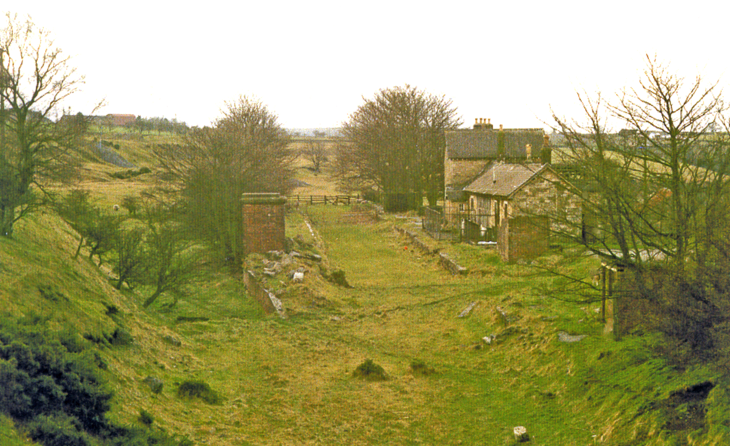
Cockfield Fell railway station
Cockfield Fell railway station was a railway station on the Bishop Auckland to Barnard Castle section of the South Durham and Lancashire Union Railway...
Esperley Lane Ends
Esperley Lane Ends is a village in County Durham, in England. It is situated a few miles to the north west of Darlington, between Cockfield and Evenwood...
Haggerleases railway station
Haggerleases railway station, also known as Butterknowle railway station, served the village of Butterknowle, County Durham, England, in 1859 on the Haggerleases...
Lands railway station
Lands railway station served the hamlet of Low Lands, County Durham, England, from 1858 to 1872 on the Haggerleases branch of the Stockton and Darlington...
Nearby Amenities
Located within 500m of 54.594963,-1.823084Have you been to Raby Park?
Leave your review of Raby Park below (or comments, questions and feedback).