Sandy Bank Wood
Wood, Forest in Durham
England
Sandy Bank Wood

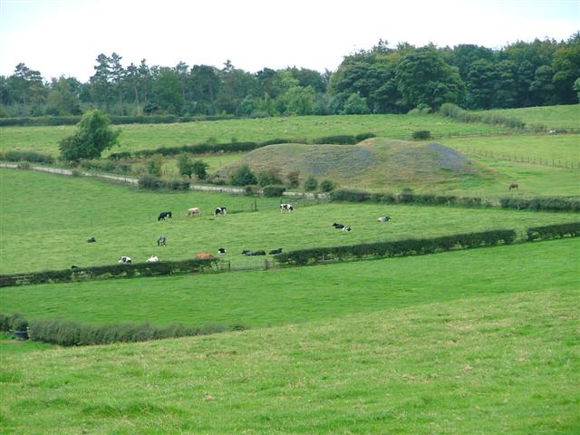
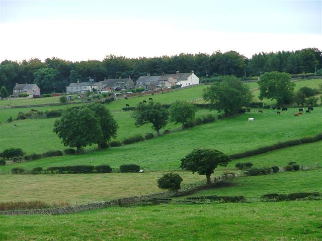
Sandy Bank Wood is a picturesque forest located in Durham, a county in northeastern England. Spanning over a vast area, the wood is renowned for its breathtaking beauty and diverse range of flora and fauna. It is a popular destination for both locals and tourists seeking solace in nature.
The wood is characterized by its sandy soil, which gives it its name. This unique feature contributes to the growth of a variety of plant species, including oak, beech, and birch trees. The dense foliage provides a haven for numerous bird species, making it a paradise for birdwatchers.
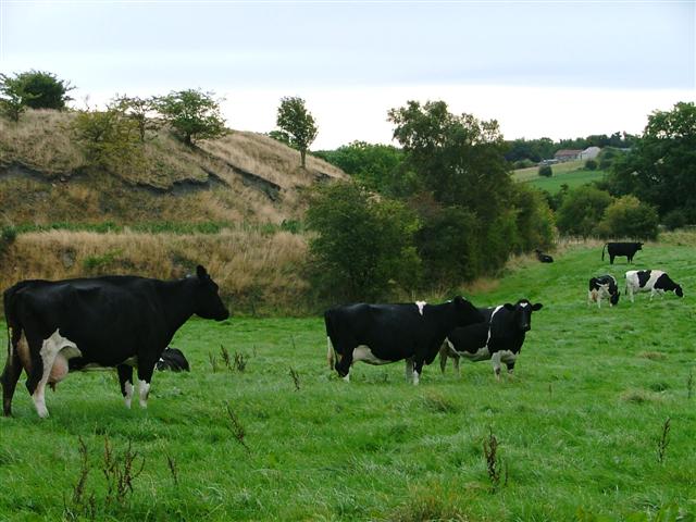
Numerous walking trails wind through the forest, offering visitors the opportunity to explore its natural wonders. The paths are well-maintained, making it accessible to people of all ages and abilities. Along the way, visitors may encounter small streams and picturesque ponds, adding to the enchanting atmosphere of the wood. Wildlife enthusiasts may also spot a variety of animals, such as deer, squirrels, and rabbits.
Sandy Bank Wood is a haven for outdoor enthusiasts, as it offers a range of recreational activities. The wood is a popular spot for picnics, with several designated areas equipped with picnic tables and benches. Additionally, there are designated areas for camping and barbecuing, allowing visitors to fully immerse themselves in the beauty of the wood.
Overall, Sandy Bank Wood in Durham is a natural gem that provides a serene escape from the hustle and bustle of everyday life. Its scenic beauty, diverse wildlife, and array of recreational activities make it a must-visit destination for nature lovers.
If you have any feedback on the listing, please let us know in the comments section below.
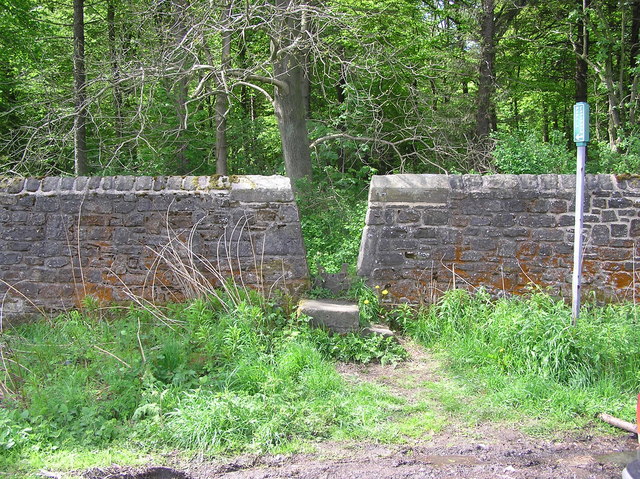
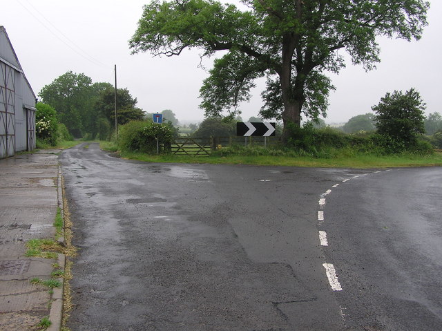
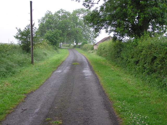
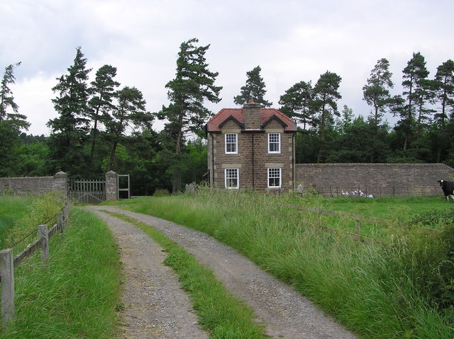
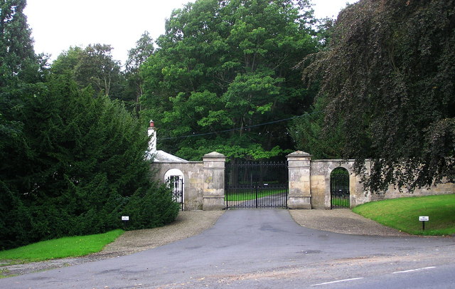
Sandy Bank Wood Images
Images are sourced within 2km of 54.593281/-1.8217449 or Grid Reference NZ1122. Thanks to Geograph Open Source API. All images are credited.


Sandy Bank Wood is located at Grid Ref: NZ1122 (Lat: 54.593281, Lng: -1.8217449)
Unitary Authority: County Durham
Police Authority: Durham
What 3 Words
///typified.games.heartburn. Near Staindrop, Co. Durham
Nearby Locations
Related Wikis
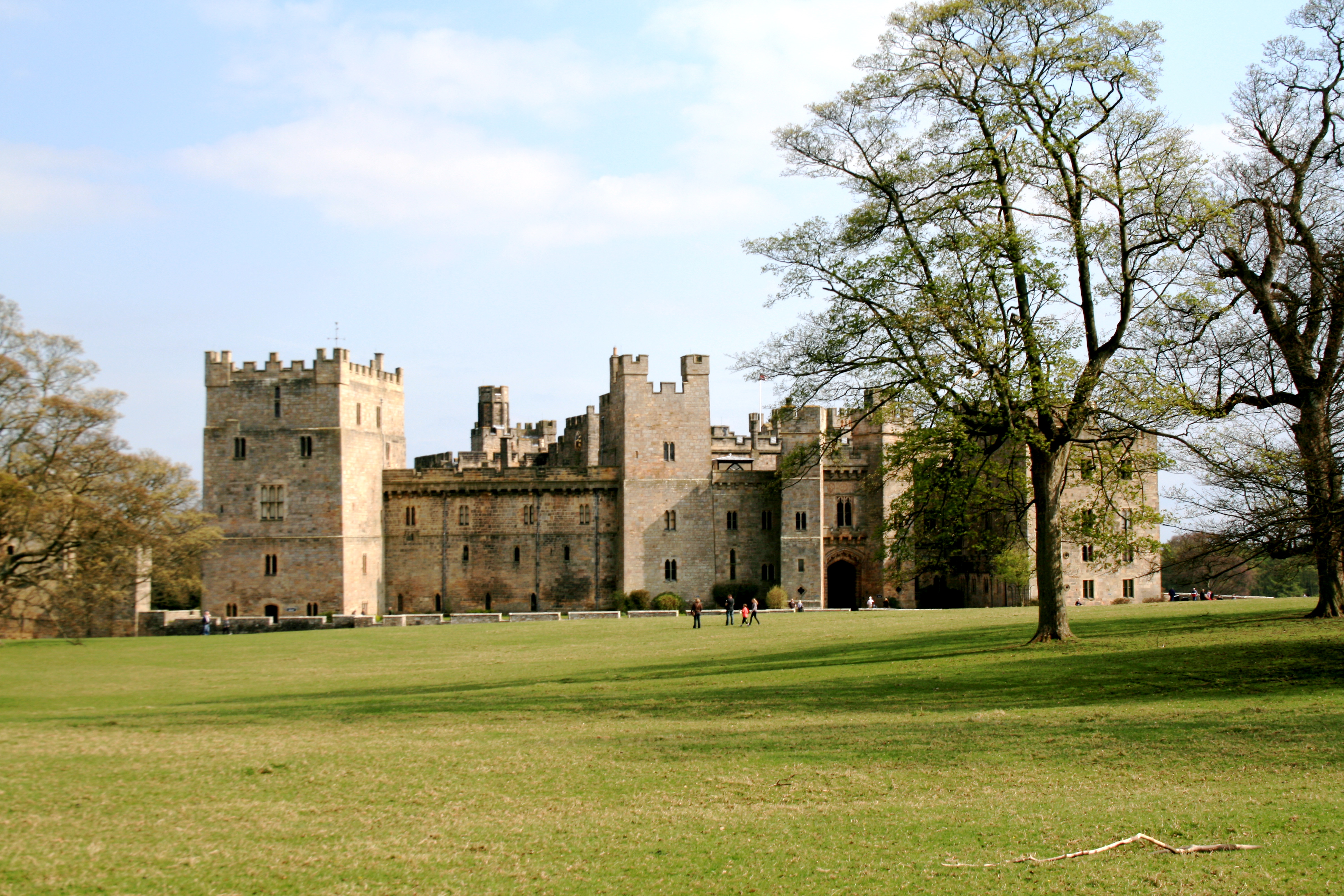
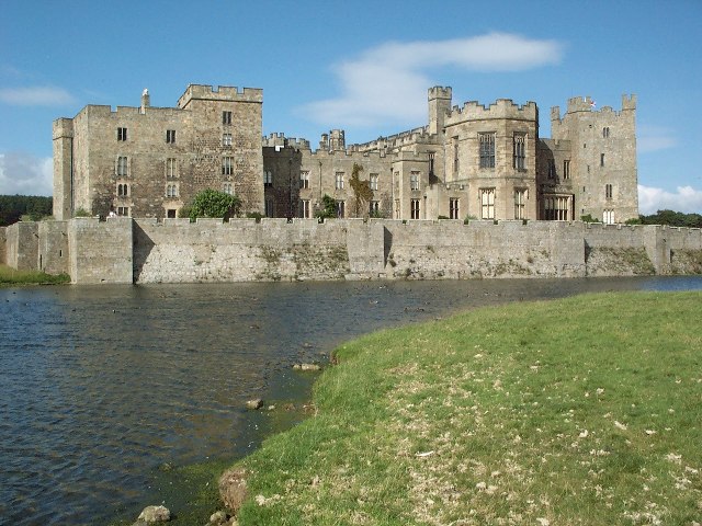
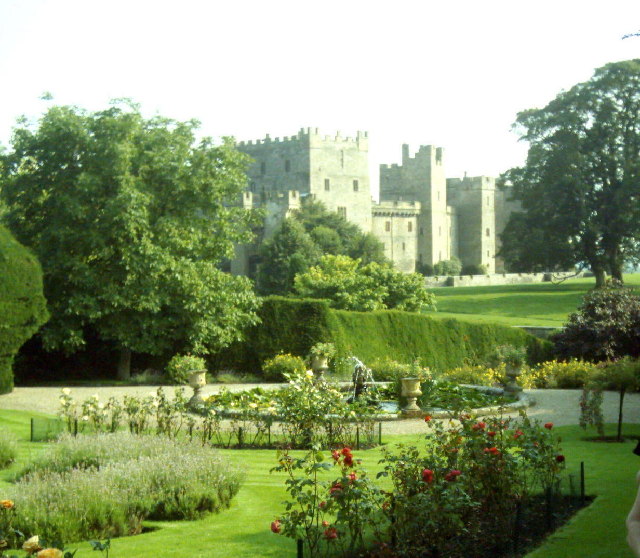
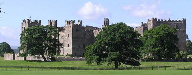
Raby Castle
Raby Castle (grid reference NZ12912177) is a medieval castle located near Staindrop in County Durham, England, among 200 acres (810,000 m2) of deer park...

Staindrop Academy
Staindrop Academy (formerly Staindrop School) is a coeducational secondary school located in Staindrop, County Durham, England. Previously a community...

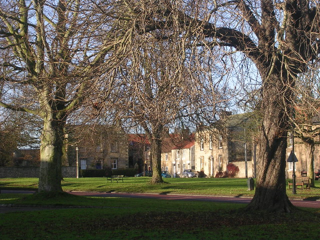
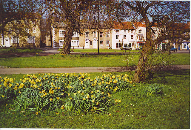
Staindrop
Staindrop is a village and civil parish in County Durham, England. It is situated approximately 6 miles (9.7 km) north east of Barnard Castle, on the A688...

Cockfield, County Durham
Cockfield is a village on the edge of Teesdale, County Durham, England. It is situated 8 miles to the south-west of Bishop Auckland, 15 miles (24 km) north...
Nearby Amenities
Located within 500m of 54.593281,-1.8217449Have you been to Sandy Bank Wood?
Leave your review of Sandy Bank Wood below (or comments, questions and feedback).