Nether Seal Clough
Valley in Derbyshire High Peak
England
Nether Seal Clough
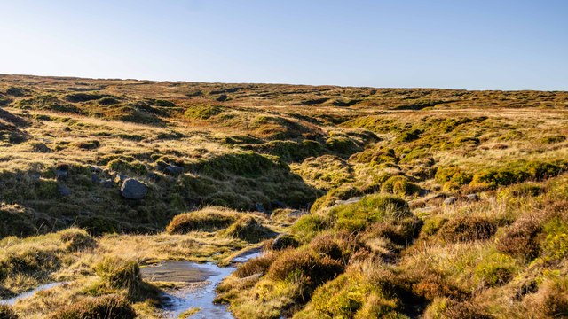
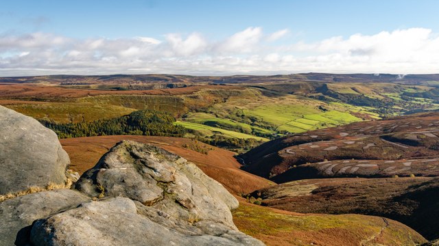
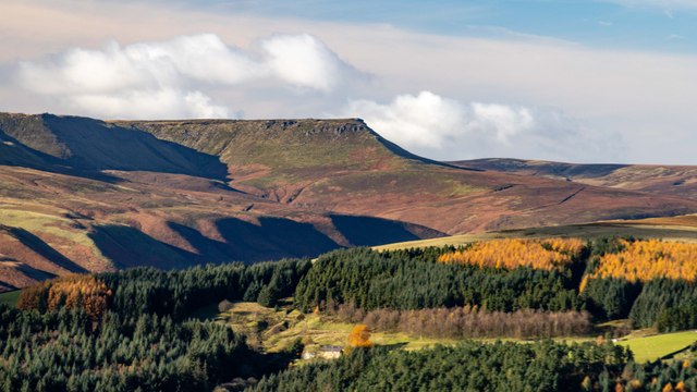
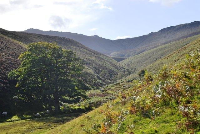
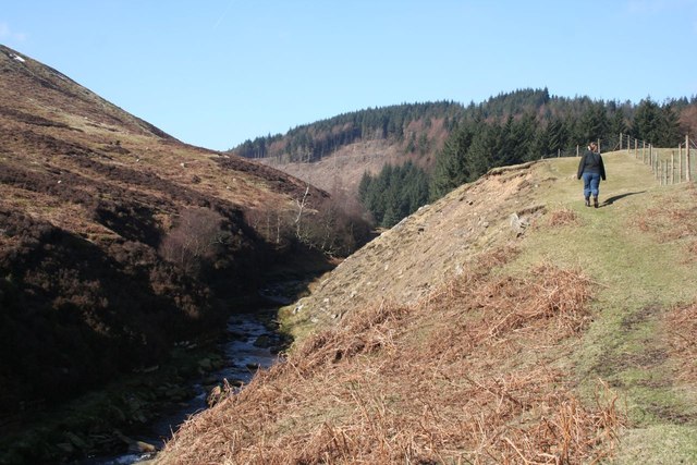
Nether Seal Clough is a picturesque valley located in Derbyshire, England. Situated near the village of Nether Seal, the clough is known for its natural beauty and serene atmosphere. The valley is nestled amidst rolling hills and lush greenery, making it a popular destination for nature enthusiasts and hikers.
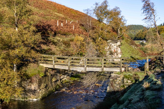
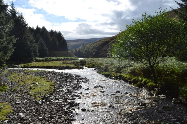
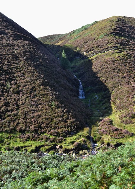
The clough is characterized by its tranquil stream that meanders through the valley, creating a soothing soundscape and adding to the overall charm of the area. The stream is flanked by moss-covered rocks and dotted with small cascades, providing a delightful sight for visitors.
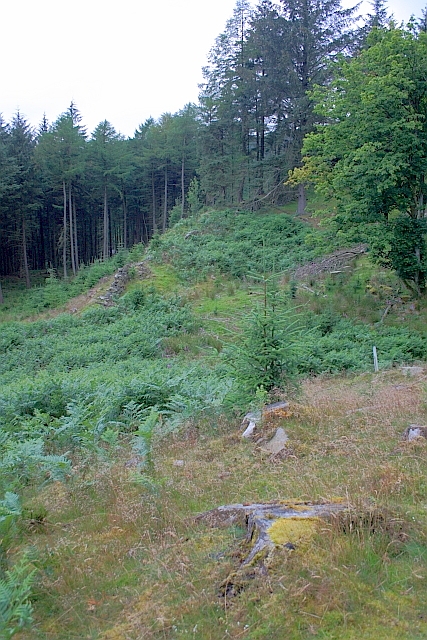
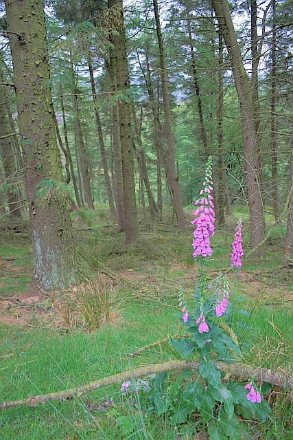
The surrounding landscape of Nether Seal Clough is dominated by dense woodlands, which are home to a variety of wildlife species. Birdwatchers can spot numerous species of birds, including woodpeckers and kingfishers, while explorers may come across deer and foxes during their walks.
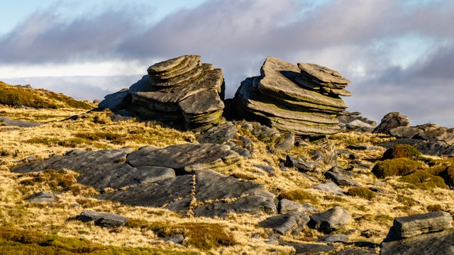
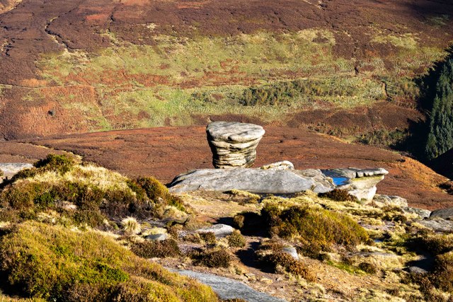
The valley offers several walking trails that cater to different levels of fitness and interests. These trails provide stunning vistas of the countryside and offer visitors the opportunity to immerse themselves in the tranquility of the clough. Additionally, there are picnic spots along the way, allowing visitors to relax and enjoy the peaceful surroundings.
Nether Seal Clough is a hidden gem in Derbyshire, offering a serene escape from the hustle and bustle of daily life. With its natural beauty, diverse wildlife, and scenic walking trails, it is a must-visit destination for those seeking solace in nature.
If you have any feedback on the listing, please let us know in the comments section below.
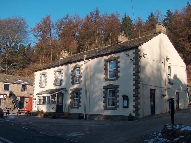
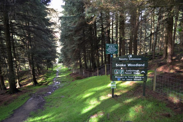
Nether Seal Clough Images
Images are sourced within 2km of 53.403322/-1.8335631 or Grid Reference SK1189. Thanks to Geograph Open Source API. All images are credited.


Nether Seal Clough is located at Grid Ref: SK1189 (Lat: 53.403322, Lng: -1.8335631)
Administrative County: Derbyshire
District: High Peak
Police Authority: Derbyshire
What 3 Words
///flight.disengage.gagging. Near High Peak, Derbyshire
Nearby Locations
Related Wikis

Dark Peak
The Dark Peak is the higher and wilder part of the Peak District in England, mostly forming the northern section but also extending south into its eastern...
Grindslow Knoll
Grindslow Knoll is a hill in the Dark Peak area of the Peak District National Park in Derbyshire, England. It is joined to Kinder Scout by a high col though...

Hope Woodlands
Hope Woodlands is an extensive civil parish in the High Peak district of Derbyshire in England. The parish covers the Woodlands Valley, the western Upper...

River Alport
The River Alport flows for 5.6 miles (9 km) in the Dark Peak of the Peak District in Derbyshire, England. Its source is on Bleaklow, 3 miles (4.8 km)...
Nearby Amenities
Located within 500m of 53.403322,-1.8335631Have you been to Nether Seal Clough?
Leave your review of Nether Seal Clough below (or comments, questions and feedback).