Seal Flats
Downs, Moorland in Derbyshire High Peak
England
Seal Flats
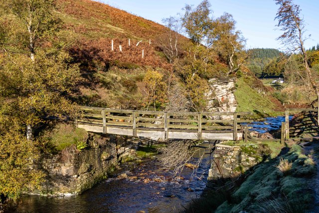
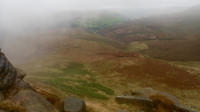
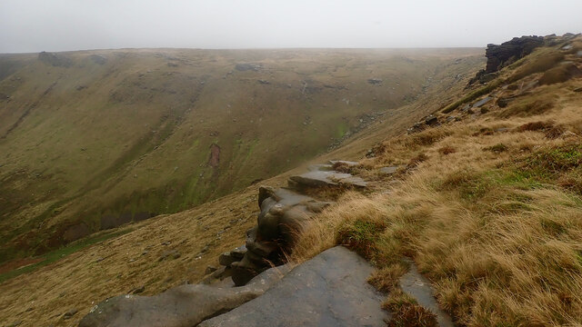
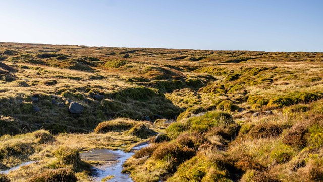
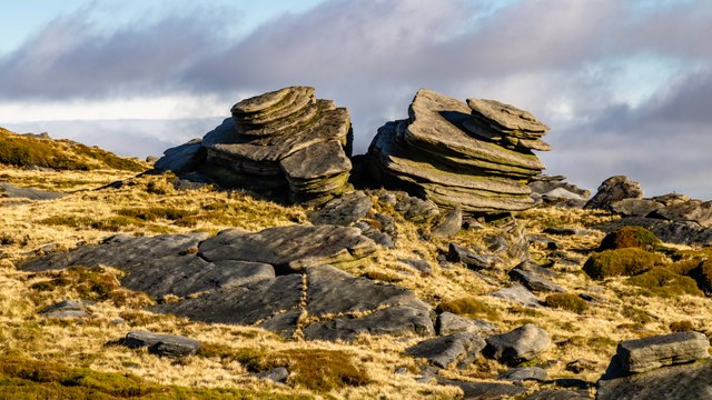
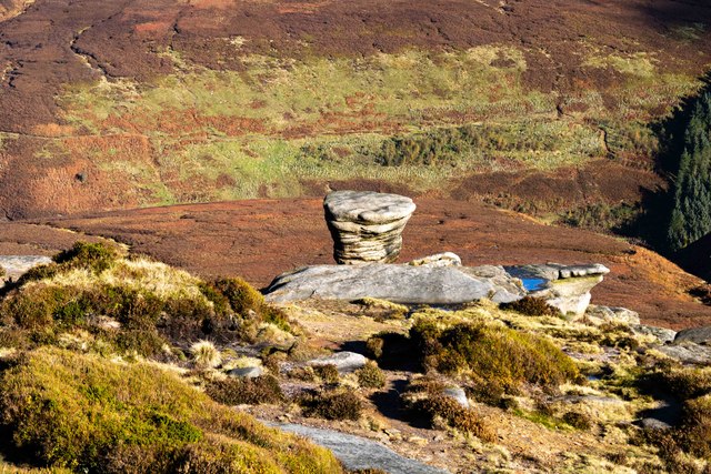
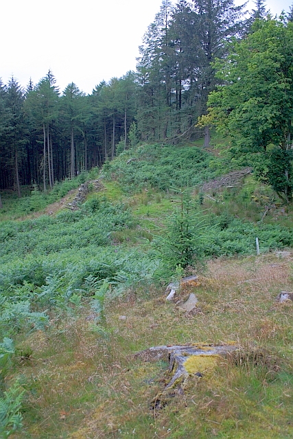
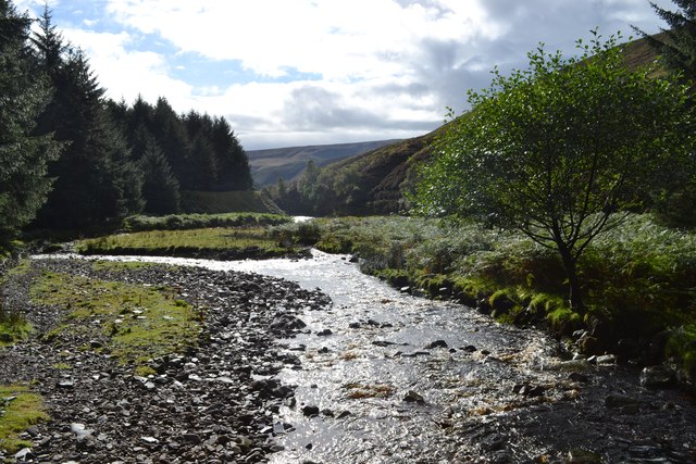
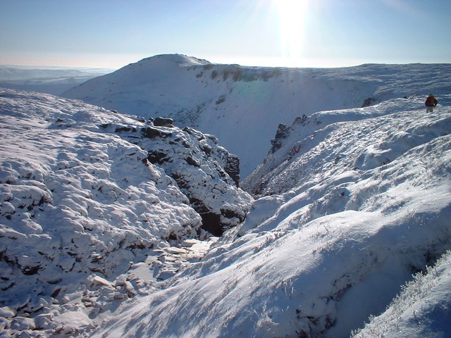
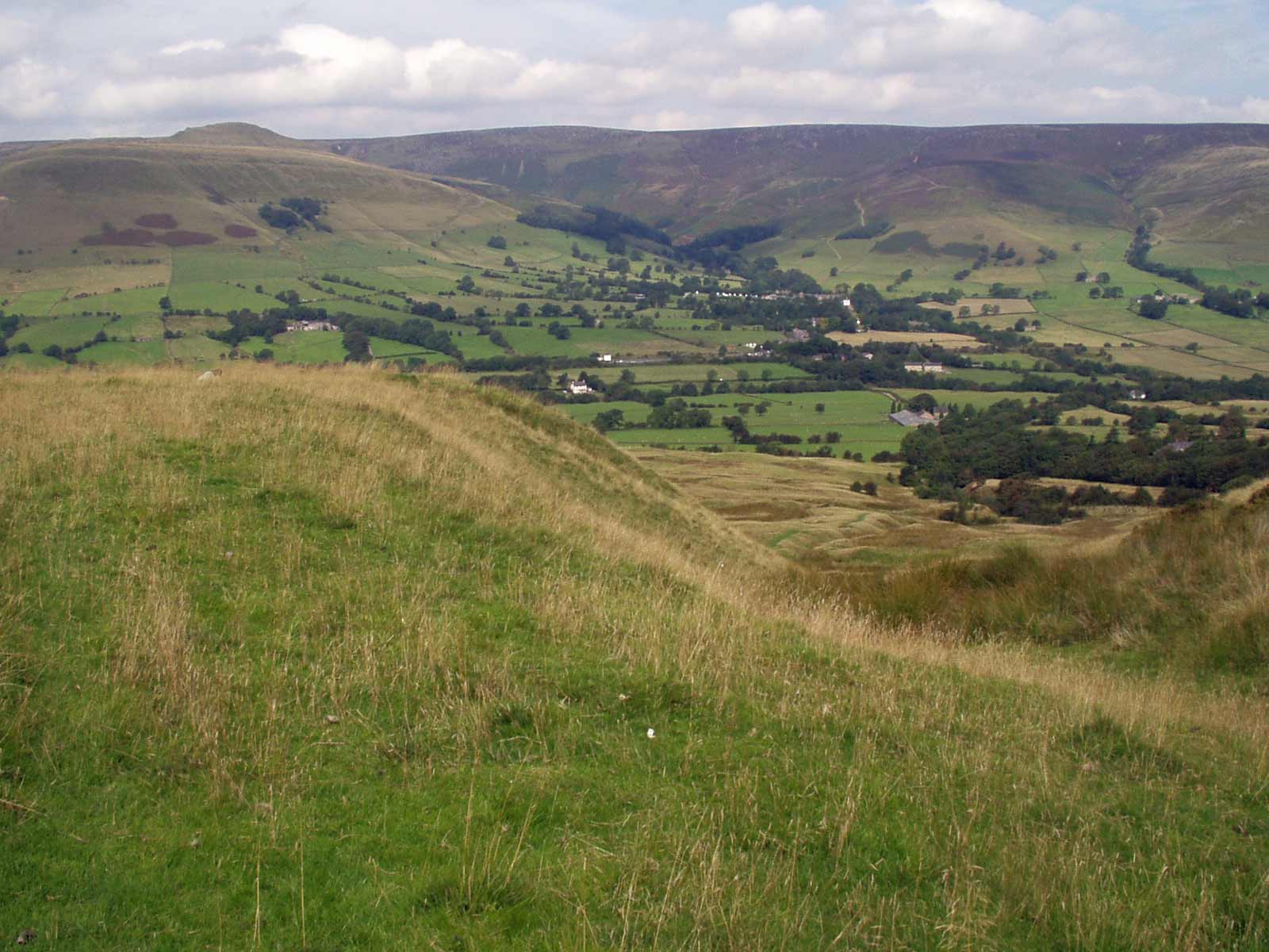
Seal Flats, located in Derbyshire, is a picturesque area consisting of vast expanses of downs and moorland. Stretching across acres of land, this region offers a unique and diverse landscape that attracts nature enthusiasts and outdoor adventurers alike.
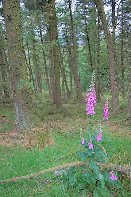
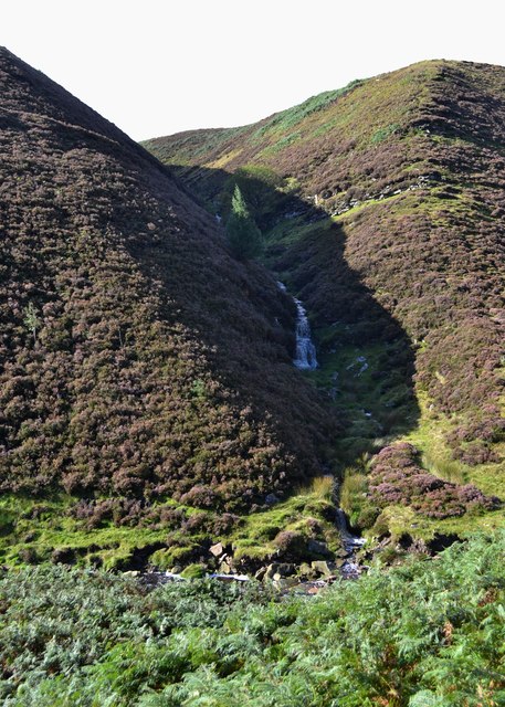
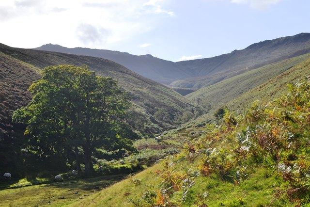
The flats are characterized by their gently rolling hills, covered in lush green grasses and heather, creating a stunning visual spectacle. The area is home to a rich variety of flora and fauna, including rare and protected species. Visitors can spot a range of bird species, such as curlews, lapwings, and skylarks, which add to the charm of the place with their melodious songs.
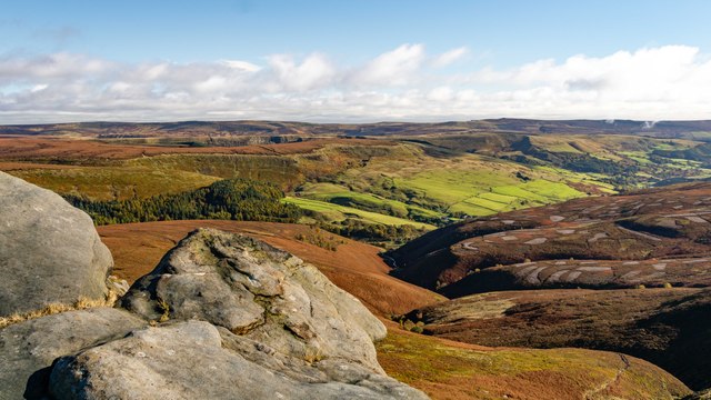
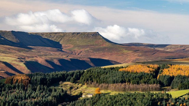
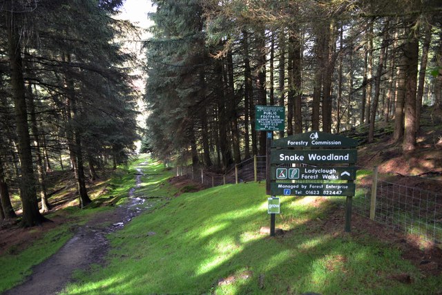
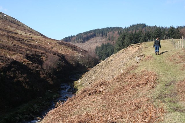
Seal Flats is also famous for its breathtaking views, offering panoramic vistas of the surrounding countryside. On clear days, visitors can admire the distant peaks of the Derbyshire Dales and even catch a glimpse of the Peak District National Park. The flats are a haven for hikers and walkers, with numerous trails and footpaths crisscrossing the area, allowing visitors to explore its natural beauty at their own pace.
In addition to its natural attractions, Seal Flats boasts a rich cultural heritage. The nearby villages and towns are home to historic buildings, charming cottages, and quaint tea rooms, making it an ideal destination for those seeking a blend of nature and history.
Overall, Seal Flats in Derbyshire is a captivating destination that offers a tranquil escape from the hustle and bustle of everyday life. Its stunning landscapes, diverse wildlife, and rich heritage make it a must-visit location for nature lovers and those seeking a peaceful retreat in the heart of England.
If you have any feedback on the listing, please let us know in the comments section below.
Seal Flats Images
Images are sourced within 2km of 53.401012/-1.8341737 or Grid Reference SK1189. Thanks to Geograph Open Source API. All images are credited.


Seal Flats is located at Grid Ref: SK1189 (Lat: 53.401012, Lng: -1.8341737)
Administrative County: Derbyshire
District: High Peak
Police Authority: Derbyshire
What 3 Words
///walked.washed.recap. Near High Peak, Derbyshire
Nearby Locations
Related Wikis

Dark Peak
The Dark Peak is the higher and wilder part of the Peak District in England, mostly forming the northern section but also extending south into its eastern...
Grindslow Knoll
Grindslow Knoll is a hill in the Dark Peak area of the Peak District National Park in Derbyshire, England. It is joined to Kinder Scout by a high col though...

Hope Woodlands
Hope Woodlands is an extensive civil parish in the High Peak district of Derbyshire in England. The parish covers the Woodlands Valley, the western Upper...
Kinder Scout
Kinder Scout is a moorland plateau and national nature reserve in the Dark Peak of the Derbyshire Peak District in England. Part of the moor, at 636 metres...

River Alport
The River Alport flows for 5.6 miles (9 km) in the Dark Peak of the Peak District in Derbyshire, England. Its source is on Bleaklow, 3 miles (4.8 km)...

Featherbed Top
Featherbed Top is an open, flat-topped hill, 544 metres (1,785 ft) high, in the Peak District in the county of Derbyshire in England. == Description... ==

Mermaid's Pool (Peak District)
Mermaid's Pool is a small pool on Kinder Scout in Derbyshire, England, which, according to legend, is inhabited by a beautiful mermaid who can be seen...

Alport Castles
The Alport Castles are a landslip feature in the Peak District National Park in Derbyshire. At over half a mile long, it is thought to be the largest landslide...
Nearby Amenities
Located within 500m of 53.401012,-1.8341737Have you been to Seal Flats?
Leave your review of Seal Flats below (or comments, questions and feedback).