Archford Moor
Downs, Moorland in Staffordshire Staffordshire Moorlands
England
Archford Moor
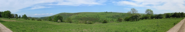
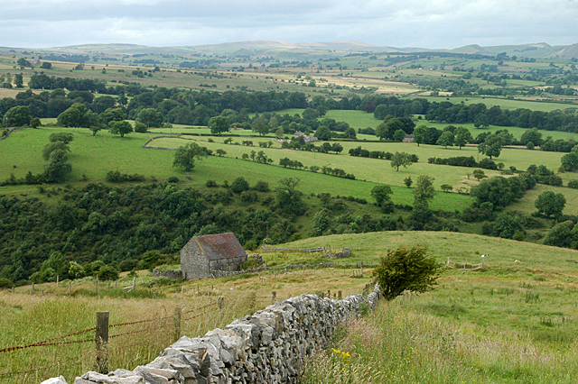
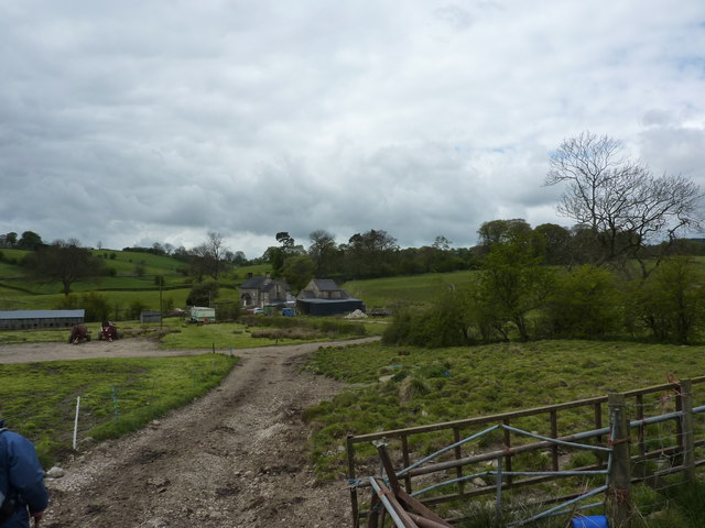
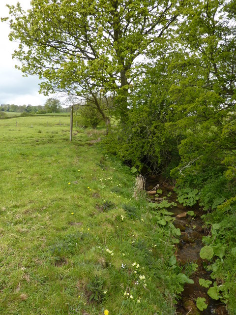
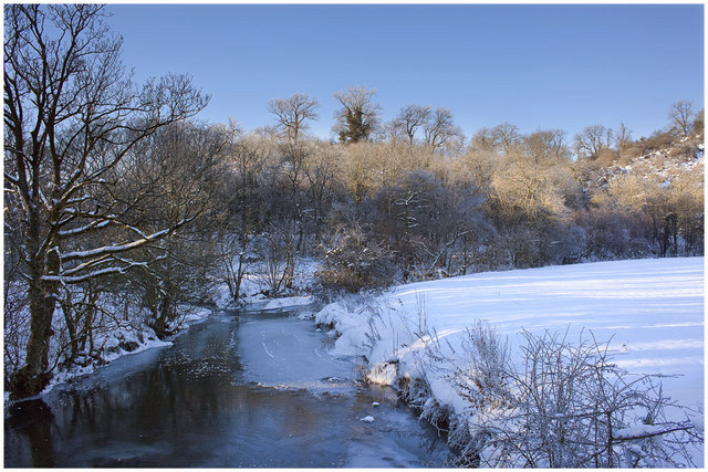
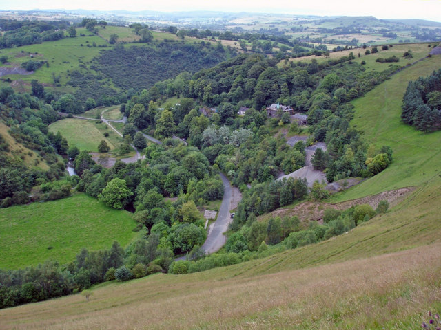
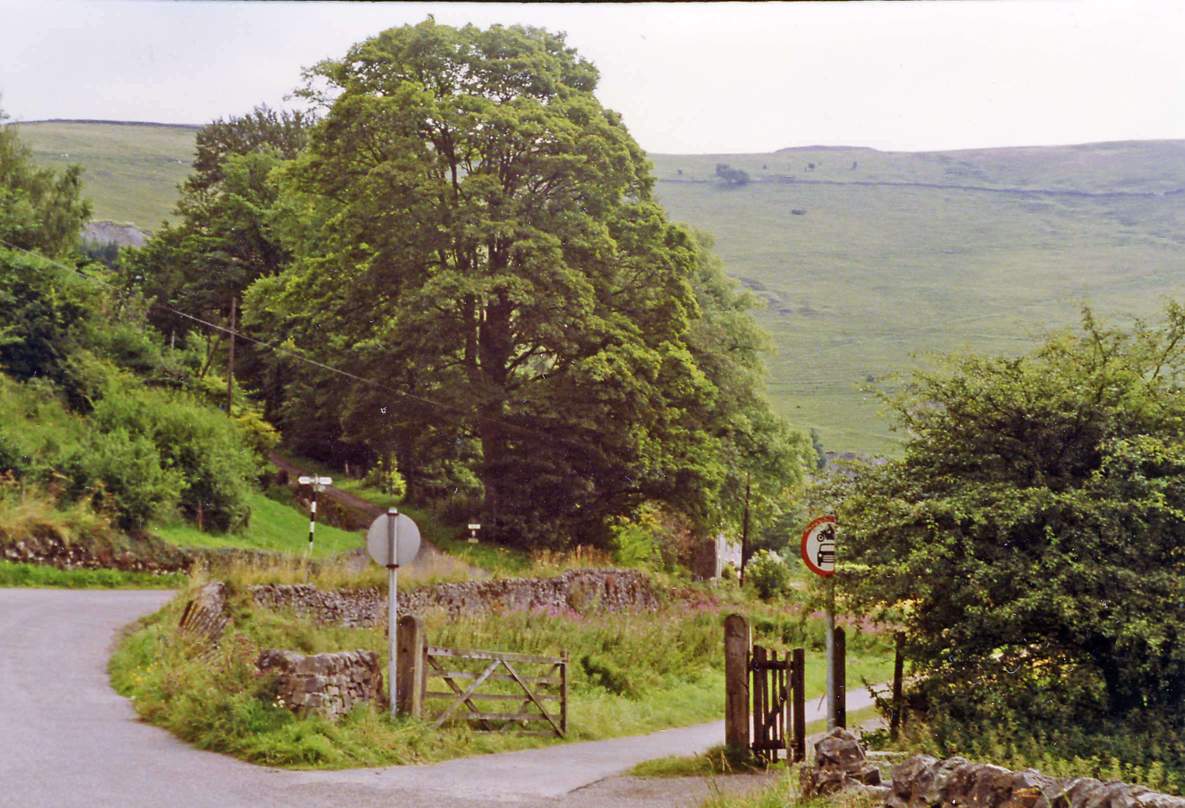
Archford Moor is a picturesque area located in the county of Staffordshire, England. It is known for its stunning natural beauty, comprising a combination of downs and moorland landscapes. The moor is spread over a vast area, offering visitors an opportunity to immerse themselves in the tranquility of the countryside.
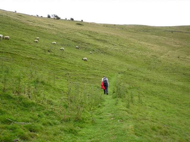
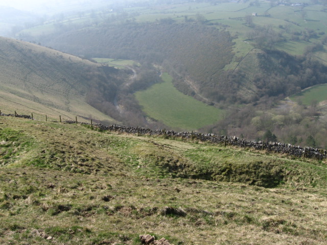
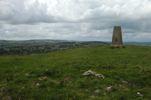
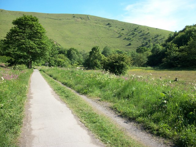
The terrain of Archford Moor is characterized by undulating hills and expansive open spaces. The downs, with their gently rolling slopes, provide a perfect setting for long walks and hikes. The moorland, on the other hand, offers a more rugged and wild experience, with its heather-covered hillsides and scattered rocky outcrops.
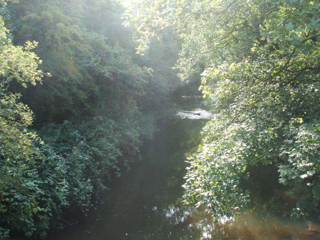
The area is home to a diverse range of flora and fauna, making it an ideal destination for nature enthusiasts. Visitors can expect to encounter a variety of bird species, including kestrels, buzzards, and skylarks, as well as smaller mammals such as rabbits and foxes.
Archford Moor offers numerous recreational activities for those seeking outdoor adventures. Walking and hiking trails are abundant, catering to both casual strollers and experienced hikers. The landscape also provides opportunities for horseback riding, cycling, and picnicking.
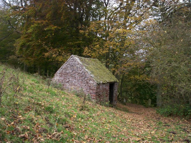
In addition to its natural beauty, Archford Moor has historical significance. Ruins of ancient settlements and burial sites can be found throughout the area, providing glimpses into its rich past.
Overall, Archford Moor is a destination that offers a perfect blend of natural beauty, outdoor activities, and historical intrigue. It is a place where visitors can escape the hustle and bustle of city life and immerse themselves in the serenity of the countryside.
If you have any feedback on the listing, please let us know in the comments section below.
Archford Moor Images
Images are sourced within 2km of 53.121518/-1.8357427 or Grid Reference SK1158. Thanks to Geograph Open Source API. All images are credited.

Archford Moor is located at Grid Ref: SK1158 (Lat: 53.121518, Lng: -1.8357427)
Administrative County: Staffordshire
District: Staffordshire Moorlands
Police Authority: Staffordshire
What 3 Words
///keepers.unloaded.beards. Near Newhaven, Derbyshire
Nearby Locations
Related Wikis

Hulme End
Hulme End () is a small hamlet in Staffordshire, England. It is located in the Peak District National Park about 10 miles north of Ashbourne. A natural...
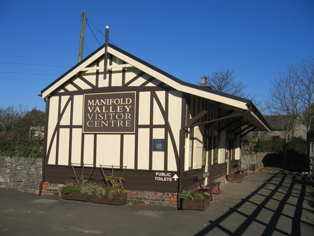
Hulme End railway station
Hulme End railway station is a disused railway station in Staffordshire, England. The station was the terminus of the 2 ft 6 in (762 mm) Leek and Manifold...
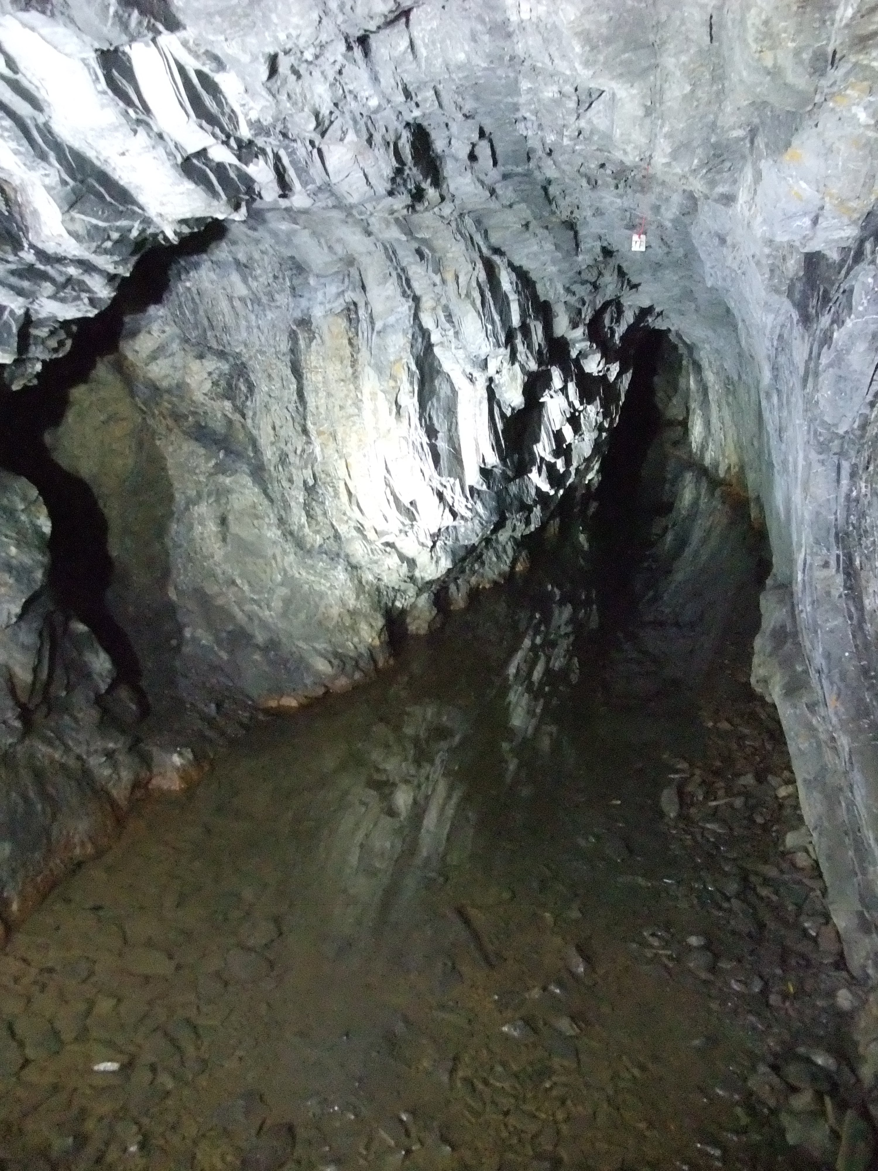
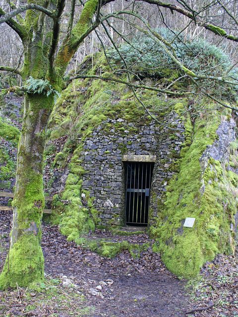
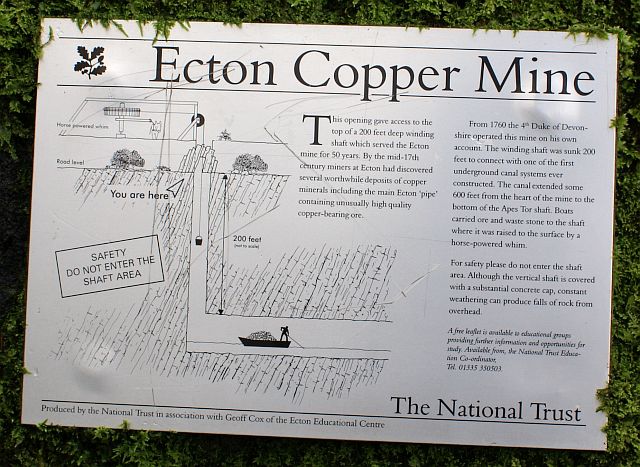
Ecton Mines
A group of mines on Ecton Hill, Staffordshire, are unusual for the Peak District in producing predominantly copper rather than lead and zinc. The most...
Ecton, Staffordshire
Ecton is a hamlet in the Staffordshire Peak District (grid reference SK096584). It is on the Manifold Way, an 8-mile (13 km) walk and cycle path that follows...
Ecton railway station
Ecton railway station was a station on the Leek and Manifold Light Railway. It served the hamlet of Ecton, Staffordshire. Today, the site is now part of...

Butterton railway station
Butterton railway station was a station on the Leek and Manifold Light Railway. It served the village of Butterton in Staffordshire. The site is now part...
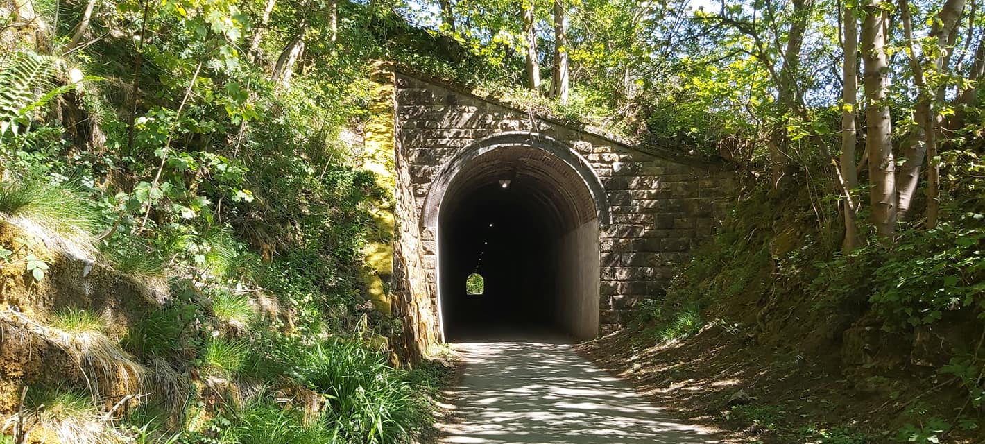
Swainsley Tunnel
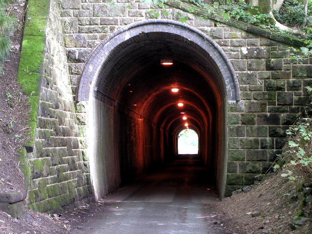
Swainsley Tunnel is a tunnel on the route of the former Leek and Manifold Light Railway, which connected the market town of Leek with Hulme End, via Waterhouses...

Warslow
Warslow is a small village in Staffordshire, England. It is located in the Peak District National Park about 10 miles (16 km) north of Ashbourne. Although...
Related Videos

Tranquility of Wolfscote Dale: Peak District | Solo Hiking
Solo Hiking - 5K Cinematic Short Film: The Tranquility of Wolfscote Dale - Derbyshire Dales - Peak District - UK | Solo Traveler ...
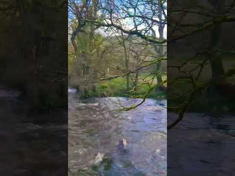
River Manifold - Wetton Mill - Manifold Valley - Peak District | Solo Hiking
Things To Do In Peak District: River Manifold - Wetton Mill - Manifold Valley - Staffordshire | DJI Air 2S Let's Travel | Have ...


holiday vlog | Beresford Dale | holiday house tour in the UK | silent vlog in the UK | vlog ep.20
silentvlog #vlog #holidayvlog #peakdistrict #travel #walking #hiking #housetour ✨ Hello everyone! Welcome to Episode 20 of my ...
Nearby Amenities
Located within 500m of 53.121518,-1.8357427Have you been to Archford Moor?
Leave your review of Archford Moor below (or comments, questions and feedback).