Black Moss
Downs, Moorland in Derbyshire High Peak
England
Black Moss
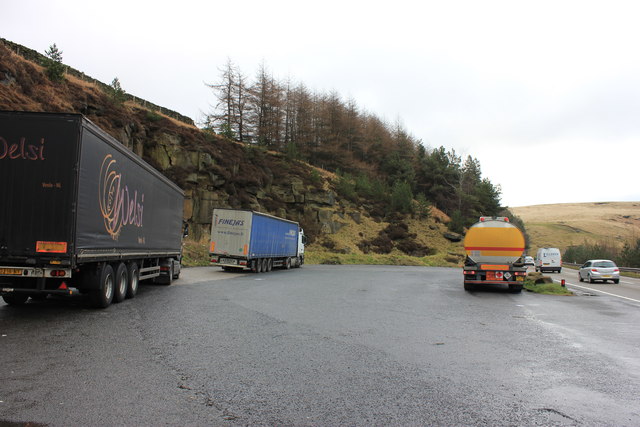
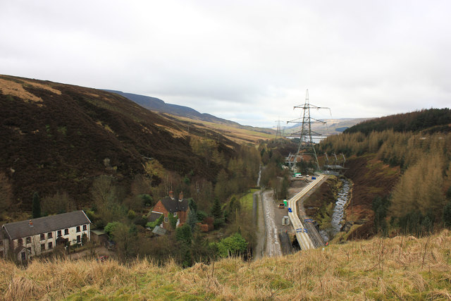
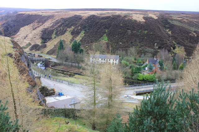
Black Moss is a picturesque area located in Derbyshire, England, known for its stunning downs and moorland landscapes. Situated in the southern part of the county, it covers an area of approximately 500 hectares. The region is characterized by its rolling hills, vast grasslands, and diverse flora and fauna.
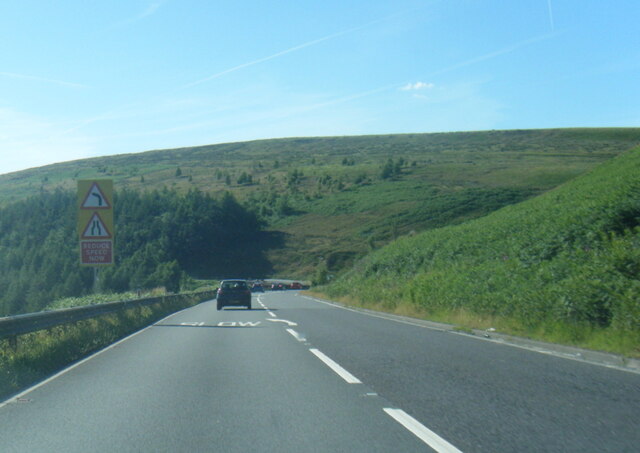
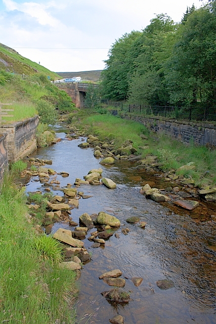
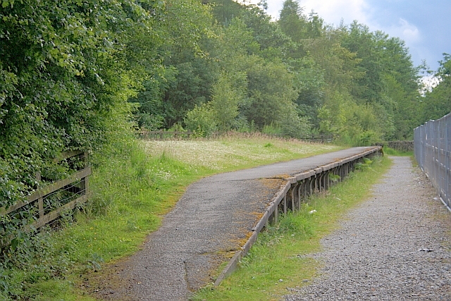
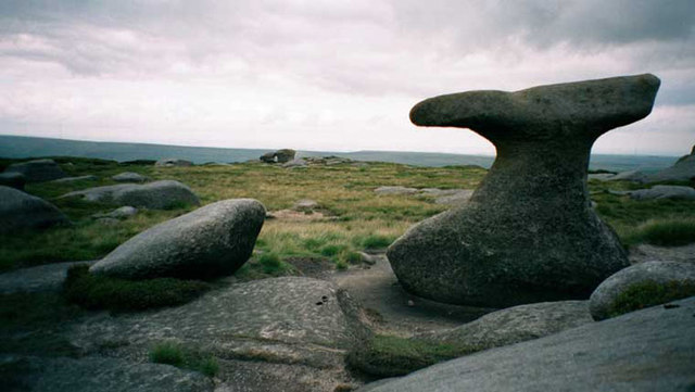
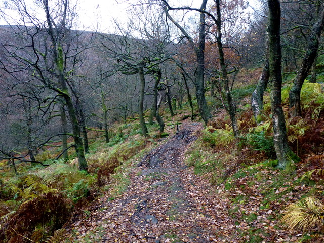
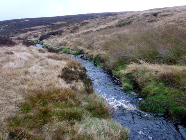
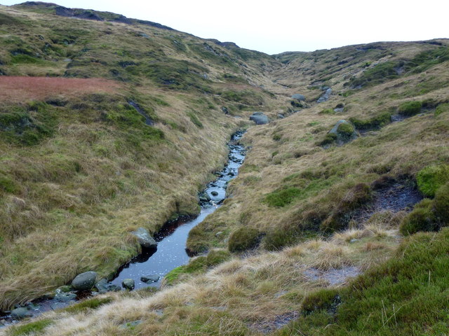
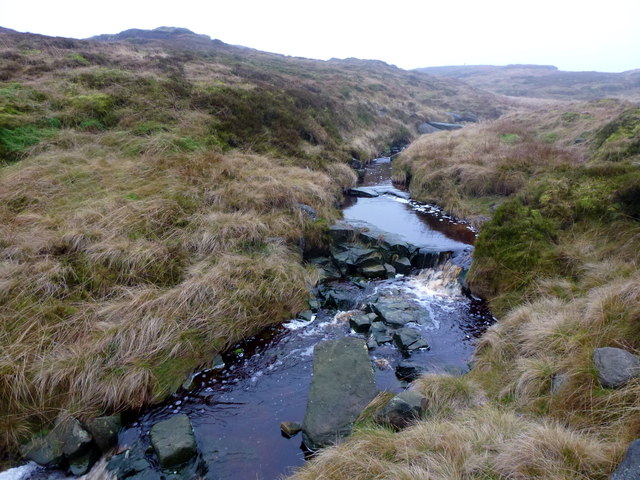
The downs of Black Moss offer breathtaking views, with their gently sloping hills covered in vibrant green grass. These areas provide ample opportunities for outdoor activities such as hiking, walking, and picnicking. The moorland, on the other hand, is a unique habitat with its heather-covered expanses and scattered rocky outcrops, attracting nature enthusiasts and photographers alike.
The area is rich in biodiversity, with a variety of plant and animal species calling Black Moss their home. Visitors can spot birds such as curlews, lapwings, and peregrine falcons soaring across the skies, while small mammals like rabbits and hares can be seen darting through the grasslands. Rare plant species, including bog rosemary and cotton grass, thrive in the damp moorland areas, adding to the area's natural beauty.
Black Moss is also steeped in history, with evidence of prehistoric settlements and ancient burial sites found in the surrounding areas. The site has been recognized for its archaeological significance, attracting researchers and history enthusiasts who delve into the region's past.
Overall, Black Moss in Derbyshire offers a tranquil escape from the hustle and bustle of daily life, providing visitors with a chance to immerse themselves in the beauty of nature and explore the rich history of the area.
If you have any feedback on the listing, please let us know in the comments section below.
Black Moss Images
Images are sourced within 2km of 53.478115/-1.8338587 or Grid Reference SK1197. Thanks to Geograph Open Source API. All images are credited.
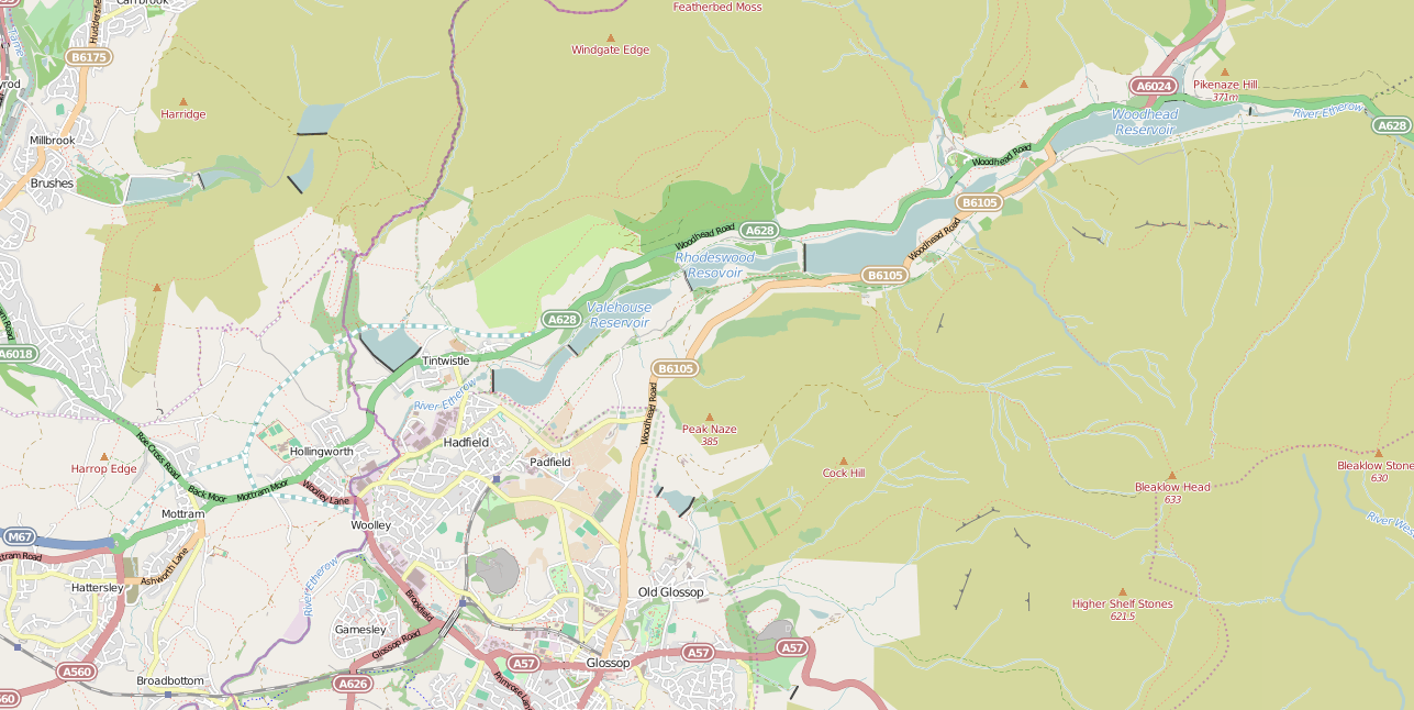
Black Moss is located at Grid Ref: SK1197 (Lat: 53.478115, Lng: -1.8338587)
Administrative County: Derbyshire
District: High Peak
Police Authority: Derbyshire
What 3 Words
///hogs.courts.envisage. Near Glossop, Derbyshire
Nearby Locations
Related Wikis
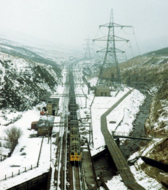
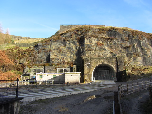
Woodhead railway station
Woodhead railway station was a railway station that served the hamlet of Woodhead on the Woodhead Line. == History == The station was opened on 8 April...
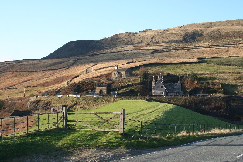
Woodhead, Derbyshire
Woodhead is a small and scattered settlement at the head of the Longdendale valley in Derbyshire, England. It lies on the trans-Pennine A628 road connecting...
Longdendale Chain
The Longdendale Chain is a sequence of six reservoirs on the River Etherow in the Longdendale Valley, in northern Derbyshire. They were constructed between...

Bleaklow
Bleaklow is a high, largely peat-covered, gritstone moorland in the Derbyshire High Peak near the town of Glossop. It is north of Kinder Scout, across...

Woodhead Reservoir
Woodhead reservoir is a man-made lake near the hamlet of Woodhead in Longdendale in north Derbyshire, England. It was constructed by John Frederick Bateman...

Crowden railway station
Crowden railway station is a closed railway station on the Woodhead Line between Manchester and Sheffield, that served the hamlet of Crowden, Derbyshire...

Longdendale
Longdendale is a valley in the Peak District of England, north of Glossop and southwest of Holmfirth. The name means "long wooded valley" and the valley...

Bleaklow Bomber
The Bleaklow Bomber was a US Air Force (USAF) Boeing RB-29A Superfortress that crashed near Higher Shelf Stones on Bleaklow in the Peak District in 1948...
Have you been to Black Moss?
Leave your review of Black Moss below (or comments, questions and feedback).