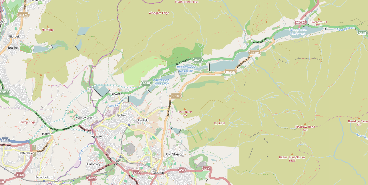
Featherbed Moss
Downs, Moorland in Derbyshire High Peak
England
Featherbed Moss
Featherbed Moss, located in Derbyshire, England, is a picturesque area that encompasses both downs and moorland landscapes. It is a popular destination for nature enthusiasts and hikers due to its stunning natural beauty and varied terrain.
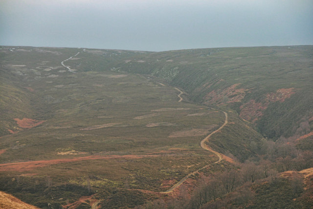
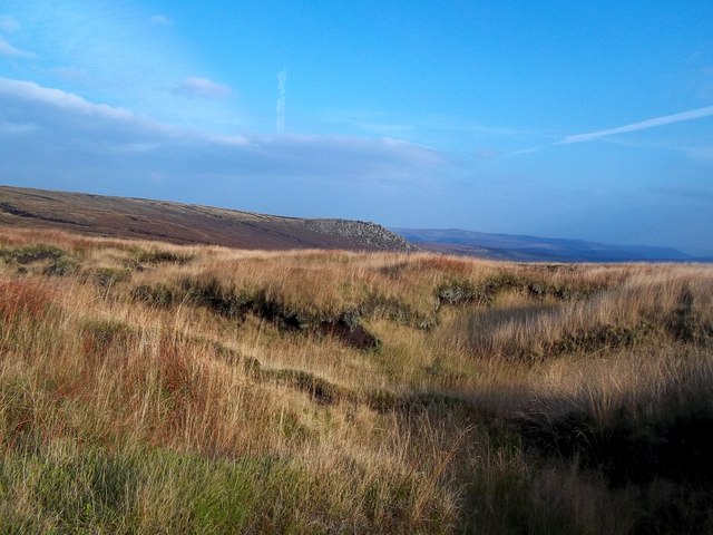
The downs of Featherbed Moss are characterized by gently rolling hills covered in lush green grass. These open spaces offer breathtaking panoramic views of the surrounding countryside. Visitors can enjoy leisurely walks and picnics while taking in the peaceful and idyllic atmosphere.
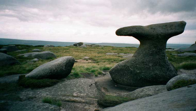
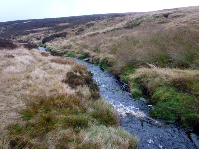
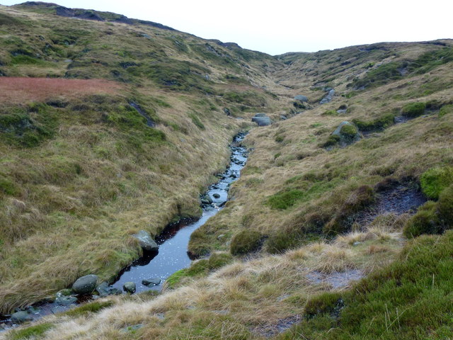
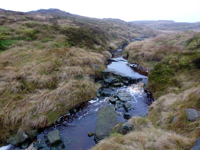
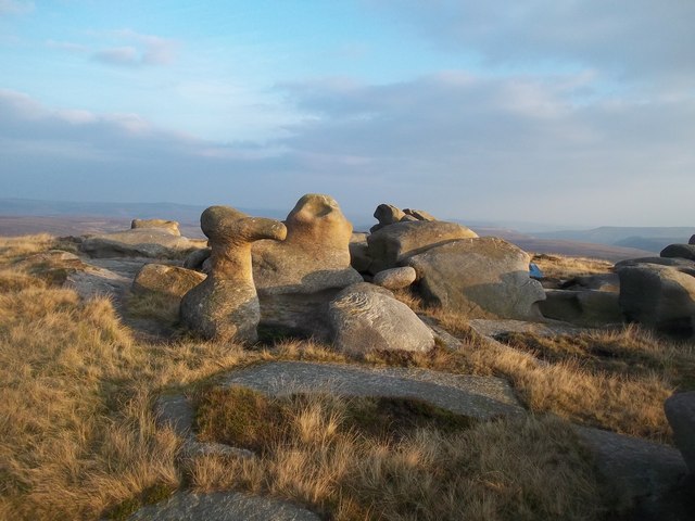
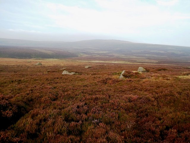
On the other hand, the moorland of Featherbed Moss presents a stark contrast with its rugged and wild appearance. This area is characterized by expanses of heather and gorse, interspersed with patches of peat bogs and rocky outcrops. Moorland birds, such as the red grouse and curlew, can often be spotted in this habitat.
Featherbed Moss is also home to a variety of wildlife. Rare and protected species, including the mountain hare and the black grouse, can be found here. The area is recognized as an important conservation site due to its rich biodiversity.
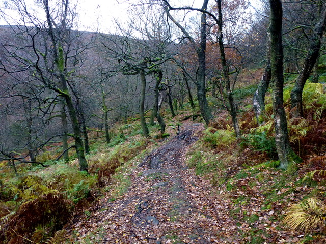
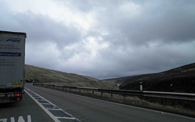
Visitors to Featherbed Moss can explore the area using a network of well-maintained footpaths and trails. These routes offer opportunities for both short walks and longer hikes, catering to individuals of all fitness levels. The area is also equipped with ample parking and facilities, making it easily accessible for day trips.
Overall, Featherbed Moss in Derbyshire is a captivating destination that showcases the diverse natural landscapes of downs and moorland. Its beauty, tranquility, and ecological significance make it a must-visit location for those seeking an immersive experience in the English countryside.
If you have any feedback on the listing, please let us know in the comments section below.
Featherbed Moss Images
Images are sourced within 2km of 53.476483/-1.8235744 or Grid Reference SK1197. Thanks to Geograph Open Source API. All images are credited.


Featherbed Moss is located at Grid Ref: SK1197 (Lat: 53.476483, Lng: -1.8235744)
Administrative County: Derbyshire
District: High Peak
Police Authority: Derbyshire
What 3 Words
///hazel.delivers.looms. Near Glossop, Derbyshire
Nearby Locations
Related Wikis
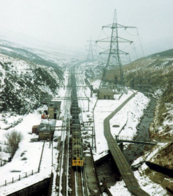
Woodhead railway station
Woodhead railway station was a railway station that served the hamlet of Woodhead on the Woodhead Line. == History == The station was opened on 8 April...
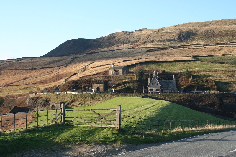
Woodhead, Derbyshire
Woodhead is a small and scattered settlement at the head of the Longdendale valley in Derbyshire, England. It lies on the trans-Pennine A628 road connecting...

Longdendale
Longdendale is a valley in the Peak District of England, north of Glossop and southwest of Holmfirth. The name means "long wooded valley" and the valley...

Bleaklow
Bleaklow is a high, largely peat-covered, gritstone moorland in the Derbyshire High Peak near the town of Glossop. It is north of Kinder Scout, across...
Longdendale Chain
The Longdendale Chain is a sequence of six reservoirs on the River Etherow in the Longdendale Valley, in northern Derbyshire. They were constructed between...

Woodhead Reservoir
Woodhead reservoir is a man-made lake near the hamlet of Woodhead in Longdendale in north Derbyshire, England. It was constructed by John Frederick Bateman...

Crowden railway station
Crowden railway station is a closed railway station on the Woodhead Line between Manchester and Sheffield, that served the hamlet of Crowden, Derbyshire...

Bleaklow Bomber
The Bleaklow Bomber was a US Air Force (USAF) Boeing RB-29A Superfortress that crashed near Higher Shelf Stones on Bleaklow in the Peak District in 1948...
Nearby Amenities
Located within 500m of 53.476483,-1.8235744Have you been to Featherbed Moss?
Leave your review of Featherbed Moss below (or comments, questions and feedback).