White Stones
Hill, Mountain in Derbyshire High Peak
England
White Stones
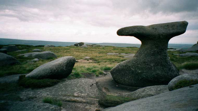
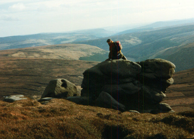
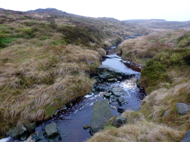
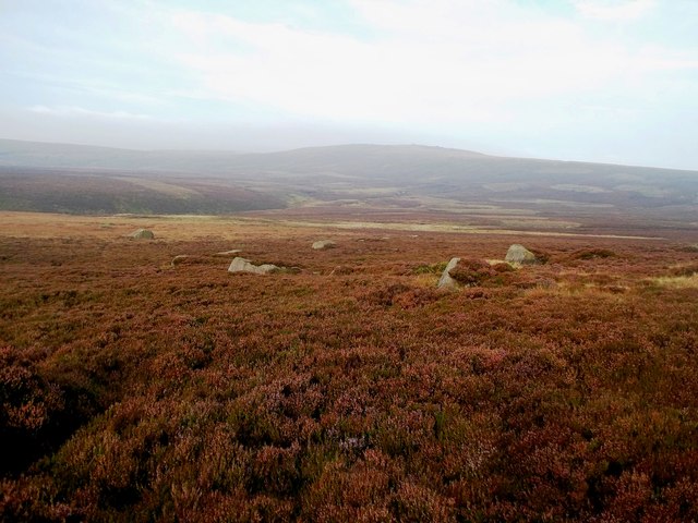
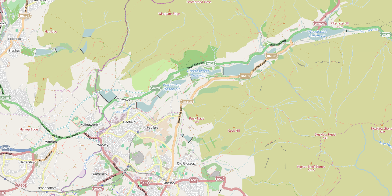
White Stones is a prominent hill located in the Derbyshire Peak District, England. Standing at an elevation of 605 meters (1,985 feet), it is considered one of the most picturesque and accessible hills in the region. Situated near the village of Birchover, White Stones offers breathtaking panoramic views of the surrounding countryside, making it a popular destination for hikers, nature enthusiasts, and photographers.
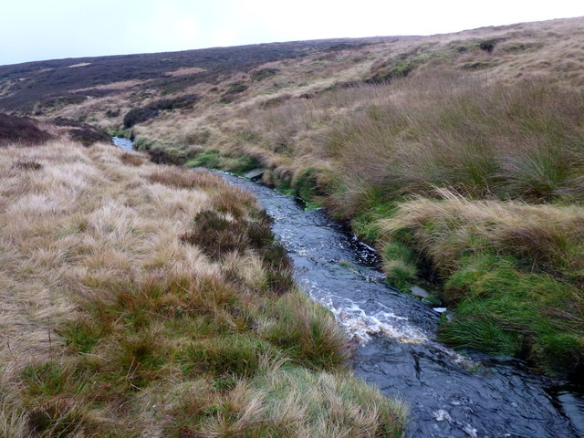
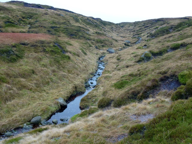
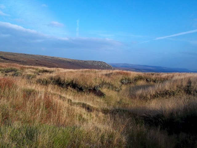
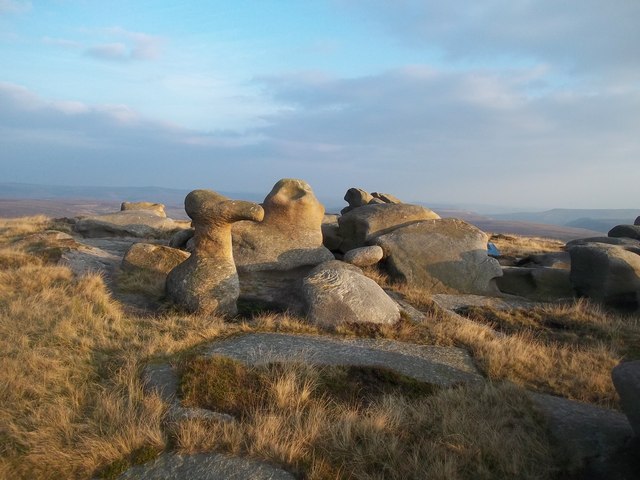
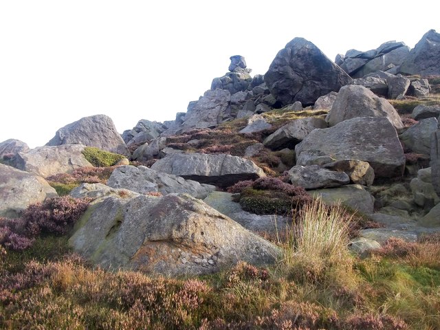
The hill is primarily composed of gritstone, a sedimentary rock, which gives it a distinct white appearance, hence its name. Its unique geological formation contributes to its rugged and strikingly beautiful landscape. White Stones is also home to a diverse range of flora and fauna, including heather, bilberries, and various species of birds, adding to its natural charm.
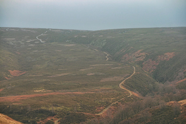
Access to White Stones is relatively easy, with well-defined footpaths leading to its summit. The hill can be reached through different routes, such as the popular Birchover route or the longer Stanton Moor route. These paths offer a variety of terrains, from gentle slopes to steeper inclines, providing an enjoyable challenge for outdoor enthusiasts of all abilities.
The summit of White Stones provides breathtaking views in all directions, including the nearby Stanton Moor with its ancient stone circles and the picturesque valleys of the Peak District. On clear days, it is even possible to see as far as the city of Manchester, over 50 miles away.
Overall, White Stones in Derbyshire is a remarkable natural landmark, offering visitors an opportunity to immerse themselves in the stunning beauty of the Peak District and experience the tranquility and serenity of the English countryside.
If you have any feedback on the listing, please let us know in the comments section below.
White Stones Images
Images are sourced within 2km of 53.472398/-1.8268003 or Grid Reference SK1197. Thanks to Geograph Open Source API. All images are credited.


White Stones is located at Grid Ref: SK1197 (Lat: 53.472398, Lng: -1.8268003)
Administrative County: Derbyshire
District: High Peak
Police Authority: Derbyshire
What 3 Words
///dentistry.clouds.learning. Near Glossop, Derbyshire
Nearby Locations
Related Wikis
Woodhead railway station
Woodhead railway station was a railway station that served the hamlet of Woodhead on the Woodhead Line. == History == The station was opened on 8 April...

Bleaklow
Bleaklow is a high, largely peat-covered, gritstone moorland in the Derbyshire High Peak near the town of Glossop. It is north of Kinder Scout, across...
Woodhead, Derbyshire
Woodhead is a small and scattered settlement at the head of the Longdendale valley in Derbyshire, England. It lies on the trans-Pennine A628 road connecting...

Longdendale
Longdendale is a valley in the Peak District of England, north of Glossop and southwest of Holmfirth. The name means "long wooded valley" and the valley...
Longdendale Chain
The Longdendale Chain is a sequence of six reservoirs on the River Etherow in the Longdendale Valley, in northern Derbyshire. They were constructed between...

Bleaklow Bomber
The Bleaklow Bomber was a US Air Force (USAF) Boeing RB-29A Superfortress that crashed near Higher Shelf Stones on Bleaklow in the Peak District in 1948...

Woodhead Reservoir
Woodhead reservoir is a man-made lake near the hamlet of Woodhead in Longdendale in north Derbyshire, England. It was constructed by John Frederick Bateman...

Crowden railway station
Crowden railway station is a closed railway station on the Woodhead Line between Manchester and Sheffield, that served the hamlet of Crowden, Derbyshire...
Nearby Amenities
Located within 500m of 53.472398,-1.8268003Have you been to White Stones?
Leave your review of White Stones below (or comments, questions and feedback).