Rushton's Hill
Hill, Mountain in Staffordshire East Staffordshire
England
Rushton's Hill
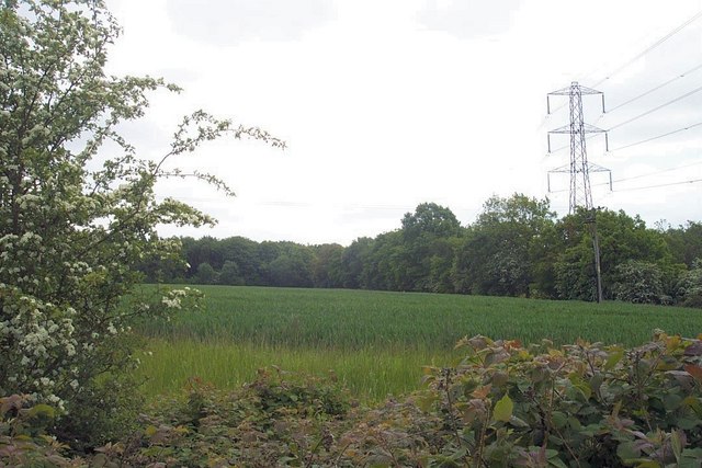
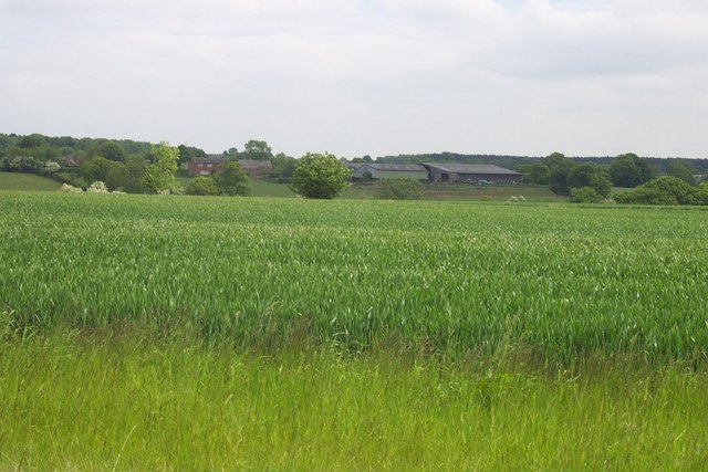
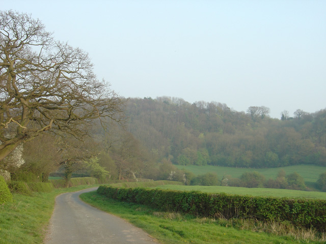
Rushton's Hill, located in Staffordshire, England, is a prominent geological formation that can be classified as a hill or mountain, depending on one's perspective. Rising to an elevation of approximately 417 meters (1,368 feet), it stands as one of the highest points in the area, offering breathtaking panoramic views of the surrounding countryside.
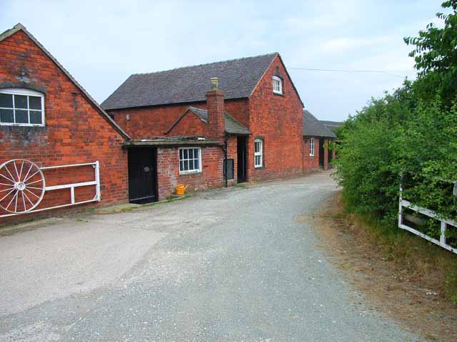
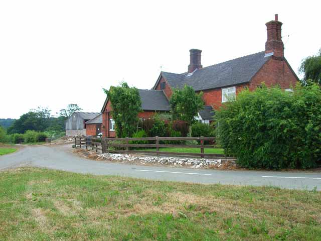
Situated in the picturesque village of Rushton Spencer, the hill is renowned for its natural beauty and is a popular destination for hikers, walkers, and nature enthusiasts. It is covered in lush green vegetation, including grasses, shrubs, and trees, adding to its scenic charm. The hill's diverse flora and fauna make it an important ecological site, supporting a variety of wildlife species.
A network of well-maintained footpaths and trails enables visitors to explore Rushton's Hill and enjoy its stunning vistas. The summit provides an ideal spot for picnics, photography, or simply admiring the breathtaking scenery. On a clear day, one can see for miles, with the Staffordshire Moorlands, Cheshire Plain, and even the distant Peak District visible from the hilltop.
Rushton's Hill also has historical significance, with remnants of ancient settlements and burial mounds found in the vicinity. These archaeological discoveries hint at the hill's role as a strategic vantage point throughout history.
Overall, Rushton's Hill in Staffordshire offers a remarkable natural experience, combining majestic views, rich biodiversity, and a touch of history. Its accessibility and beauty make it a beloved destination for locals and tourists alike, providing a serene escape into the wonders of nature.
If you have any feedback on the listing, please let us know in the comments section below.
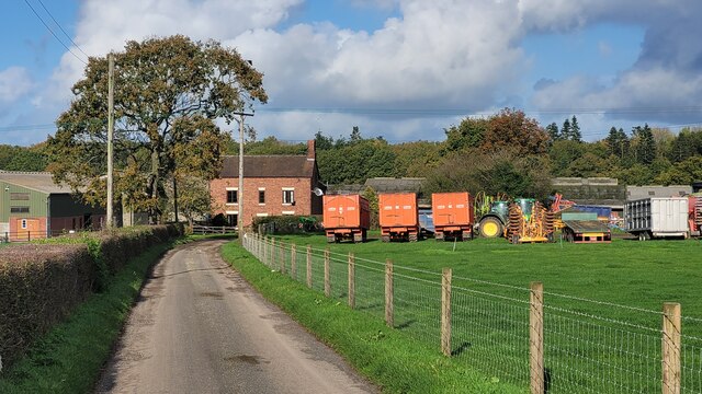
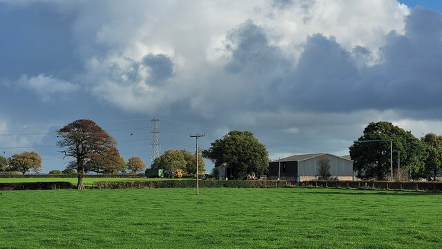
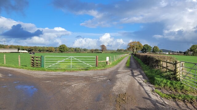
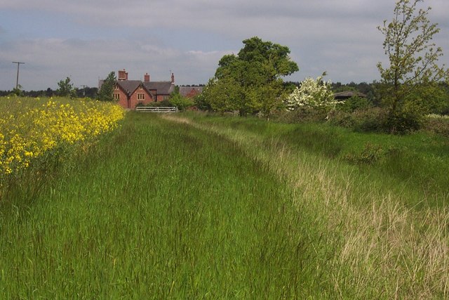
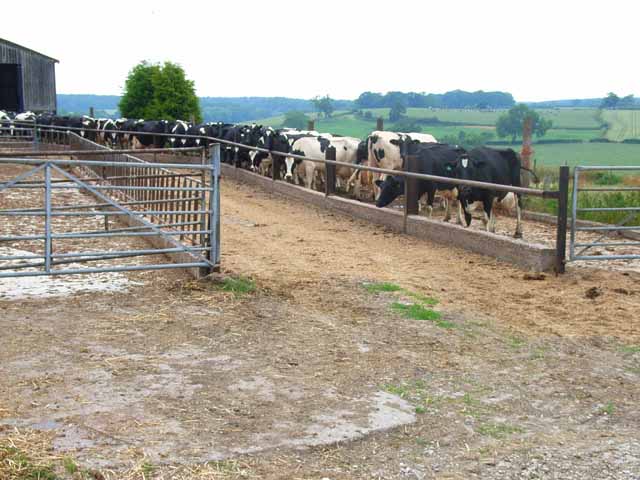
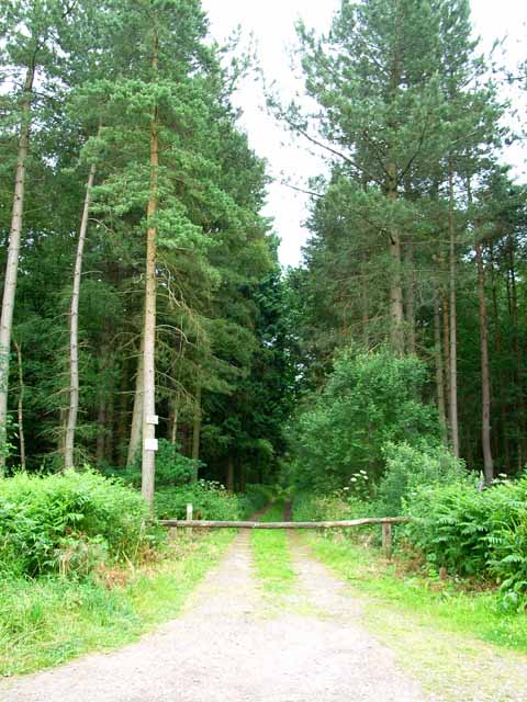
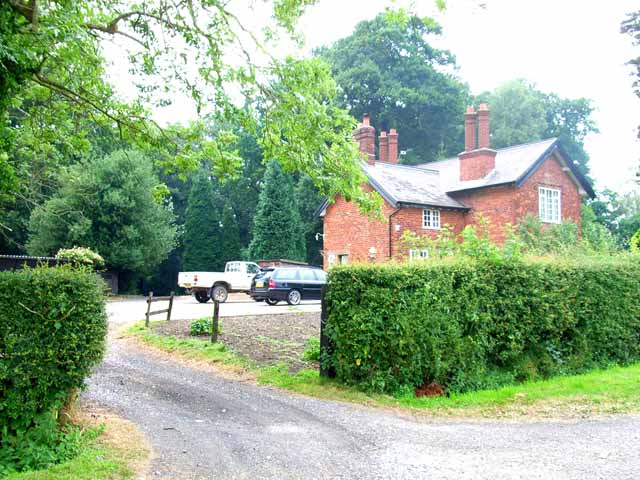
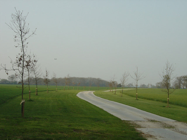
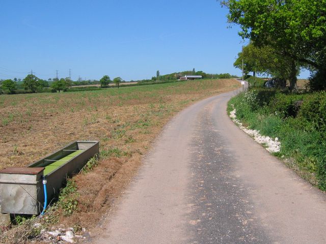
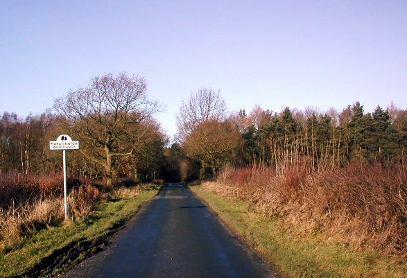
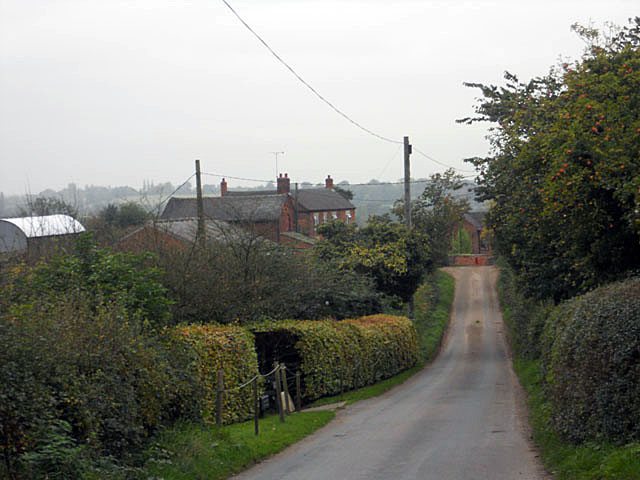
Rushton's Hill Images
Images are sourced within 2km of 52.837556/-1.8284716 or Grid Reference SK1126. Thanks to Geograph Open Source API. All images are credited.


Rushton's Hill is located at Grid Ref: SK1126 (Lat: 52.837556, Lng: -1.8284716)
Administrative County: Staffordshire
District: East Staffordshire
Police Authority: Staffordshire
What 3 Words
///skewing.wrenching.pocket. Near Abbots Bromley, Staffordshire
Nearby Locations
Related Wikis

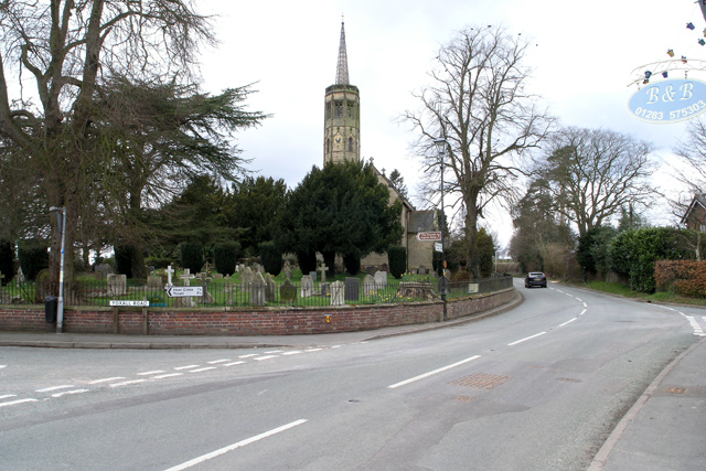
Marchington Woodlands
Marchington Woodlands is a village and former civil parish, now in the parish of Marchington, in the East Staffordshire district, in the county of Staffordshire...
Newborough, Staffordshire
Newborough is a village and civil parish in the county of Staffordshire, England. It is located 3 miles (5 km) south west of Hanbury and 8 miles (13 km...
St John's Church, Marchington Woodlands
St. John's Church, Marchington Woodlands is a parish church in Marchington Woodlands, Staffordshire, United Kingdom. Built in 1859, this small country...

Burton (UK Parliament constituency)
Burton is a constituency represented in the House of Commons of the Parliament of the United Kingdom. It elects one Member of Parliament (MP) by the first...
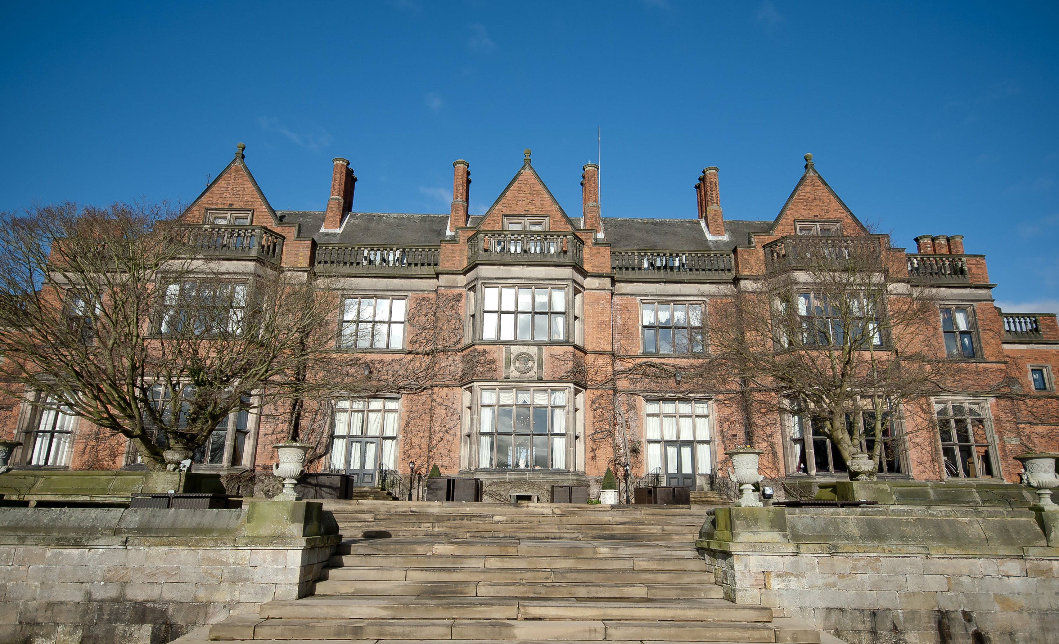
Hoar Cross Hall
Hoar Cross Hall is a 19th-century country mansion near the villages of Hoar Cross and Hamstall Ridware, Staffordshire. England. The Grade II listed building...

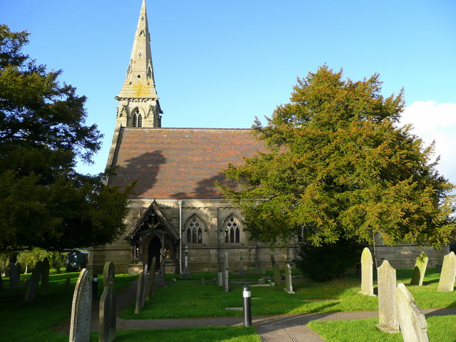
Church of the Holy Angels, Hoar Cross
The Church of the Holy Angels is an Anglican church in Hoar Cross, Staffordshire, England. It is a Grade I listed building. == History == It was built...

Abbots Bromley School
Abbots Bromley School (previously the School of S. Mary and S. Anne, Abbots Bromley before becoming Abbots Bromley School for Girls) was a coeducational...

Bagot's Wood
Bagot's Wood is the largest extant piece of the ancient Needwood Forest, located near to Abbots Bromley, in Staffordshire, England. The forest derives...
Nearby Amenities
Located within 500m of 52.837556,-1.8284716Have you been to Rushton's Hill?
Leave your review of Rushton's Hill below (or comments, questions and feedback).