Fieldhouse Coppice
Wood, Forest in Staffordshire East Staffordshire
England
Fieldhouse Coppice
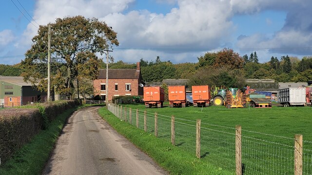
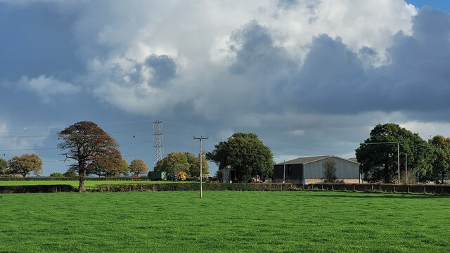
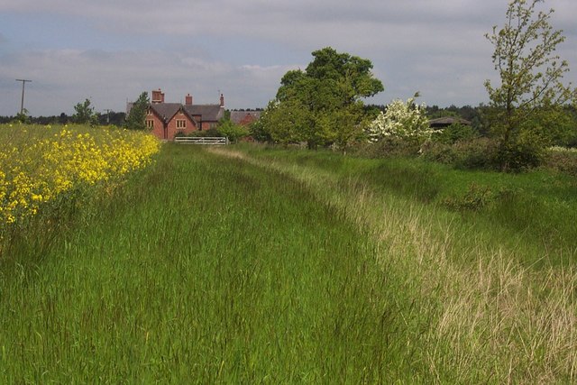
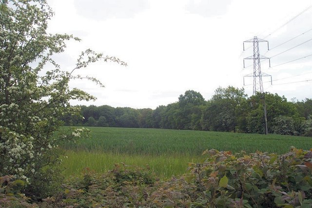
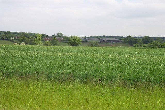
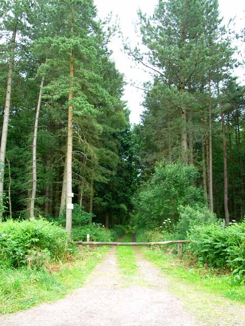
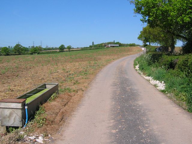
Fieldhouse Coppice is a picturesque woodland located in Staffordshire, England. Covering an area of approximately 50 acres, the coppice is a haven for nature lovers and outdoor enthusiasts. The woodland is situated in a rural setting, surrounded by rolling hills and meadows, offering visitors a serene and peaceful environment.
The coppice is predominantly made up of deciduous trees, including oak, ash, and birch, creating a diverse and vibrant ecosystem. The dense canopy provides shade and shelter for a variety of wildlife, making it an ideal habitat for birds, mammals, and insects. Visitors can spot a range of species, including woodpeckers, deer, foxes, and butterflies.
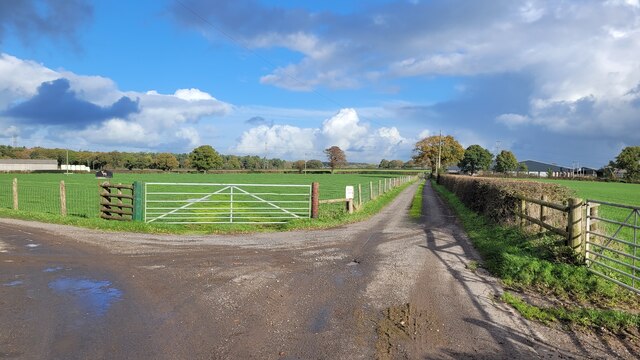
Tranquil walking trails wind through the woodland, allowing visitors to explore its beauty at their own pace. The paths are well-maintained and suitable for all ages and fitness levels. Along the way, there are several seating areas and picnic spots, providing the perfect opportunity to relax and enjoy a snack amidst the natural surroundings.
Fieldhouse Coppice is also home to a small stream, adding to the charm and tranquility of the woodland. The babbling waters provide a soothing soundtrack as visitors meander through the trees. Additionally, there are several ponds scattered throughout the coppice, enhancing the diversity of the ecosystem and attracting a variety of aquatic wildlife.
Overall, Fieldhouse Coppice offers a peaceful retreat from the hustle and bustle of everyday life. Whether it's a leisurely stroll, bird watching, or simply enjoying the beauty of nature, this Staffordshire woodland is a must-visit destination for nature enthusiasts.
If you have any feedback on the listing, please let us know in the comments section below.
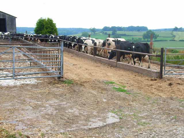
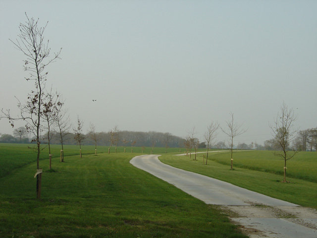
Fieldhouse Coppice Images
Images are sourced within 2km of 52.831527/-1.8302913 or Grid Reference SK1126. Thanks to Geograph Open Source API. All images are credited.


Fieldhouse Coppice is located at Grid Ref: SK1126 (Lat: 52.831527, Lng: -1.8302913)
Administrative County: Staffordshire
District: East Staffordshire
Police Authority: Staffordshire
What 3 Words
///nutrients.reissued.rewriting. Near Abbots Bromley, Staffordshire
Nearby Locations
Related Wikis
Newborough, Staffordshire
Newborough is a village and civil parish in the county of Staffordshire, England. It is located 3 miles (5 km) south west of Hanbury and 8 miles (13 km...

Marchington Woodlands
Marchington Woodlands is a village and former civil parish, now in the parish of Marchington, in the East Staffordshire district, in the county of Staffordshire...
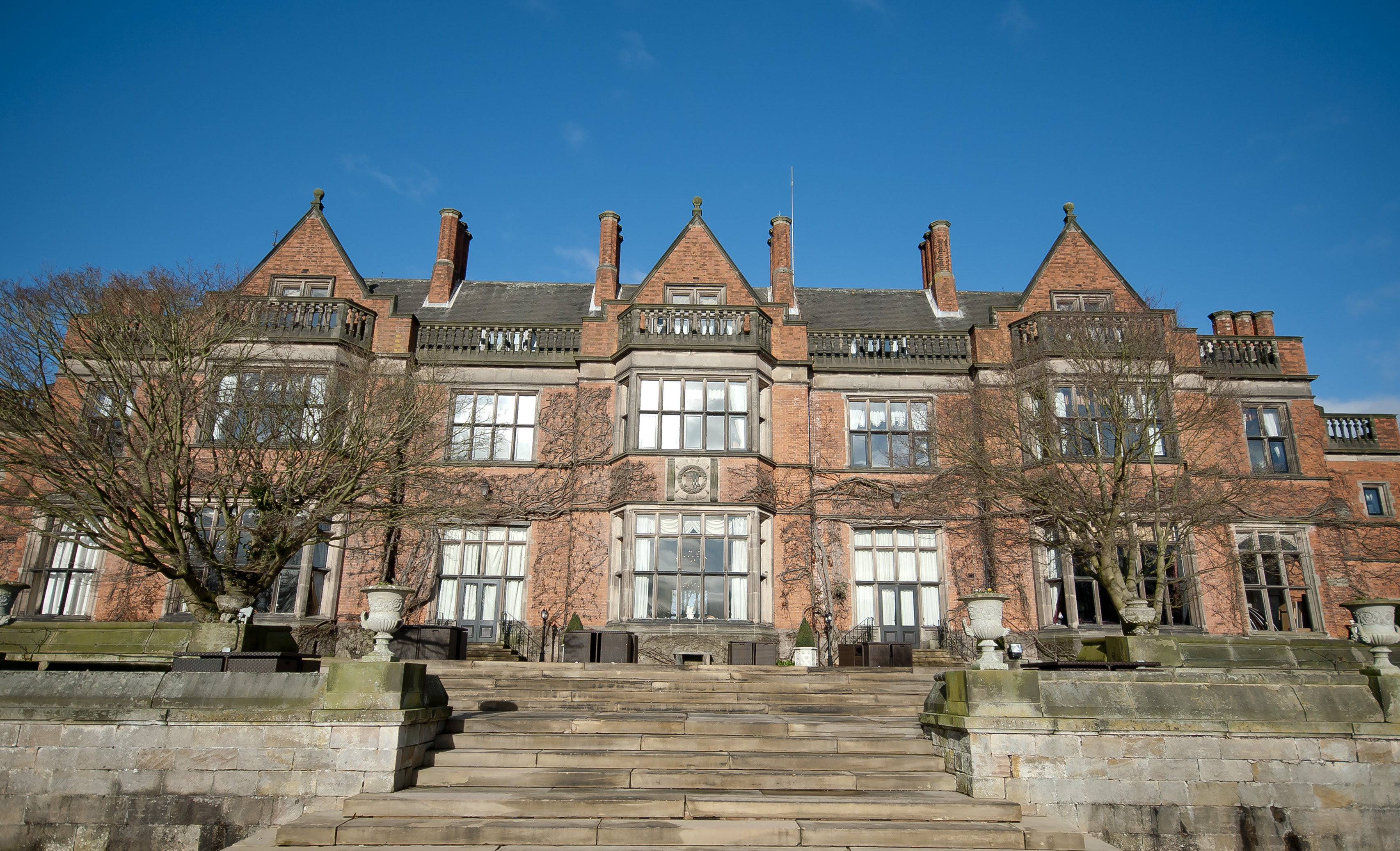
Hoar Cross Hall
Hoar Cross Hall is a 19th-century country mansion near the villages of Hoar Cross and Hamstall Ridware, Staffordshire. England. The Grade II listed building...

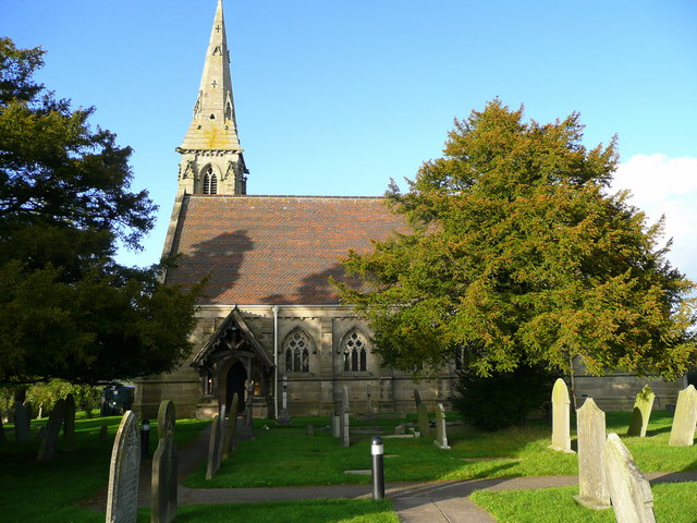
Church of the Holy Angels, Hoar Cross
The Church of the Holy Angels is an Anglican church in Hoar Cross, Staffordshire, England. It is a Grade I listed building. == History == It was built...

Abbots Bromley School
Abbots Bromley School (previously the School of S. Mary and S. Anne, Abbots Bromley before becoming Abbots Bromley School for Girls) was a coeducational...
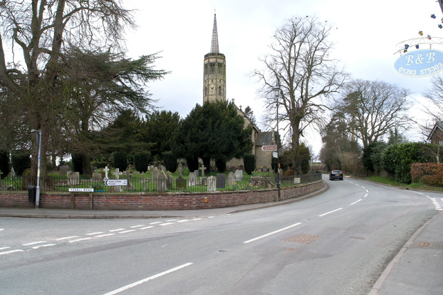
St John's Church, Marchington Woodlands
St. John's Church, Marchington Woodlands is a parish church in Marchington Woodlands, Staffordshire, United Kingdom. Built in 1859, this small country...

Abbots Bromley
Abbots Bromley is a village and civil parish in the East Staffordshire district of Staffordshire and lies approximately 9.8 miles (15.8 km) east of Stafford...

RAF Abbots Bromley
RAF Abbots Bromley is a former Royal Air Force Relief Landing Ground (RLG) located 0.7 miles (1.1 km) north-west of the village of Abbots Bromley, Staffordshire...
Nearby Amenities
Located within 500m of 52.831527,-1.8302913Have you been to Fieldhouse Coppice?
Leave your review of Fieldhouse Coppice below (or comments, questions and feedback).