Netherley Clough
Valley in Yorkshire
England
Netherley Clough
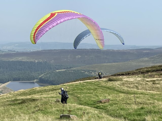
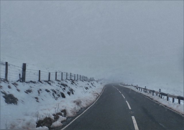
Netherley Clough is a picturesque valley located in the county of Yorkshire, England. Situated in the southern part of the Pennines, it offers a breathtaking natural landscape that attracts visitors from near and far. The valley stretches over several miles, encompassing rolling hills, dense woodlands, and a meandering river that adds to its allure.
The valley is known for its abundance of wildlife, with various species of birds, mammals, and plants calling it home. Nature enthusiasts can spot red deer, foxes, and rabbits roaming freely, while the rich vegetation supports a wide array of plant life, including wildflowers and ancient trees.
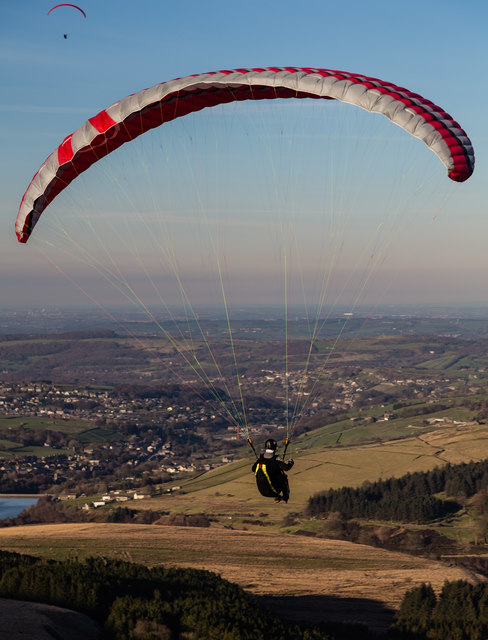
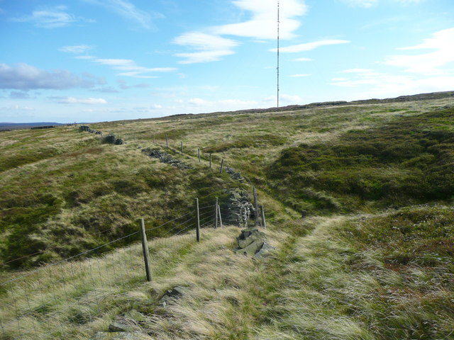
Notably, Netherley Clough boasts a network of well-maintained walking trails that cater to both casual strollers and avid hikers. These paths wind through the valley, offering breathtaking views of the surrounding countryside and allowing visitors to immerse themselves in the tranquility of nature. The valley also features several picnic areas, making it an ideal spot for families and friends to gather and enjoy a day out.
Netherley Clough has a fascinating history, with evidence of human occupation dating back thousands of years. Archaeological finds, such as ancient burial mounds and stone tools, provide insights into the valley's past. Additionally, remnants of old mining activities can be seen in certain areas, serving as a reminder of the region's industrial heritage.
Overall, Netherley Clough is a hidden gem in Yorkshire, offering a perfect blend of natural beauty, recreational opportunities, and historical significance. Whether one seeks solitude in nature or a day of exploration, this valley provides an idyllic setting for all.
If you have any feedback on the listing, please let us know in the comments section below.
Netherley Clough Images
Images are sourced within 2km of 53.540578/-1.8352443 or Grid Reference SE1104. Thanks to Geograph Open Source API. All images are credited.


Netherley Clough is located at Grid Ref: SE1104 (Lat: 53.540578, Lng: -1.8352443)
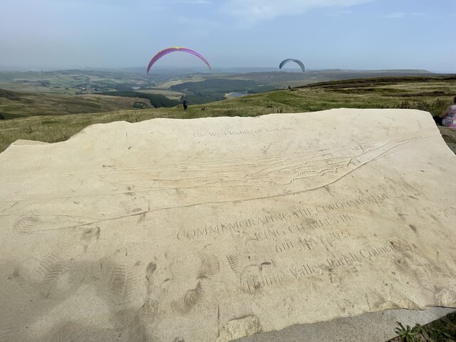
Division: West Riding
Unitary Authority: Kirklees
Police Authority: West Yorkshire
What 3 Words
///jots.awesome.shuts. Near Holmfirth, West Yorkshire
Nearby Locations
Related Wikis

Underhill, Holme
Underhill at Holme, West Yorkshire, is a modern house designed by Arthur Quarmby in 1969 and built from 1973 to 1975. Underhill has been Grade II listed...

Holme, West Yorkshire
Holme is a village in the Holme Valley civil parish of Kirklees in West Yorkshire, England. The village straddles the A6024 road between Holmbridge and...

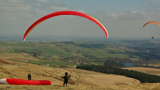
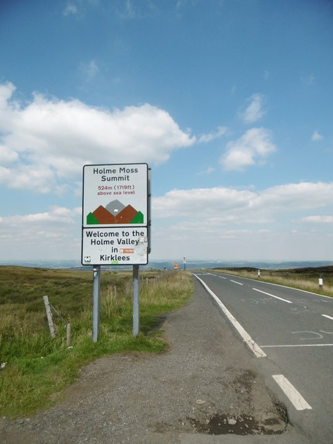
Holme Moss
Holme Moss (1,719 feet or 524 metres a.s.l.) is high moorland on the border between the Holme Valley district of Kirklees in West Yorkshire and the High...

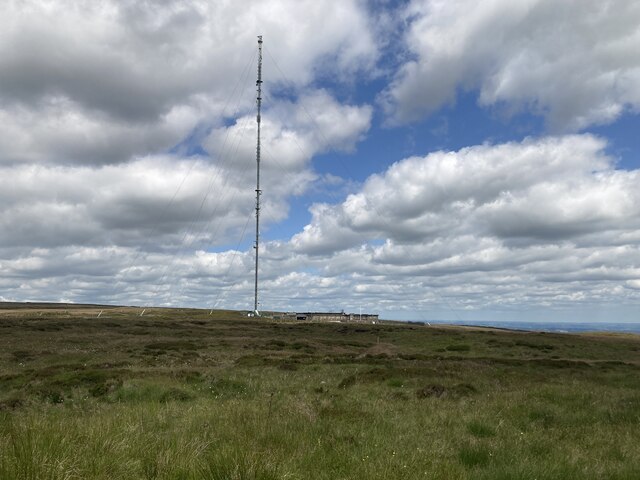
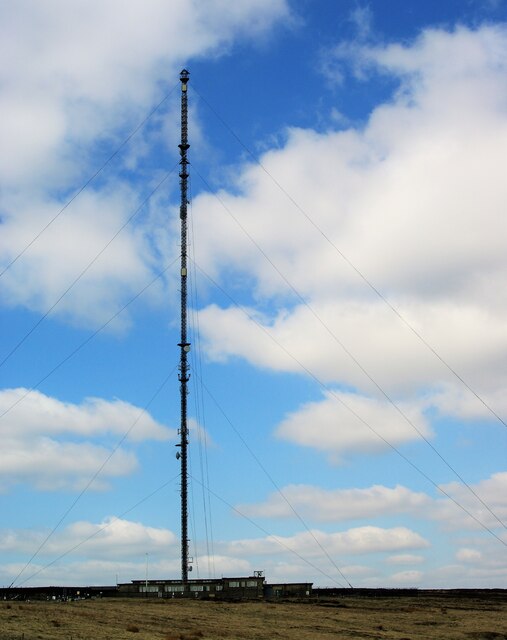
Holme Moss transmitting station
The Holme Moss transmitting station is a radio transmitting station at Holme Moss in West Yorkshire, England. The mast provides VHF coverage of both FM...
Digley Reservoir
Digley Reservoir is a lake located downstream of Bilberry Reservoir, 2 miles (3.2 km) south west of Holmfirth, in West Yorkshire, England. The reservoir...

Holmbridge
Holmbridge is a small village on the A6024 to the southwest of Holmfirth and south of Huddersfield in West Yorkshire, England. It is in the parish of...
Holmfirth floods
The Holmfirth floods were a number of instances when severe flooding had occurred in the Holme Valley, West Yorkshire, England affecting Holmfirth and...

Austonley
Austonley is a hamlet in the civil parish of Holme Valley, West Yorkshire, England, about 2 miles (3.2 km) west of Holmfirth.
Nearby Amenities
Located within 500m of 53.540578,-1.8352443Have you been to Netherley Clough?
Leave your review of Netherley Clough below (or comments, questions and feedback).