Barkisland Clough
Valley in Yorkshire
England
Barkisland Clough
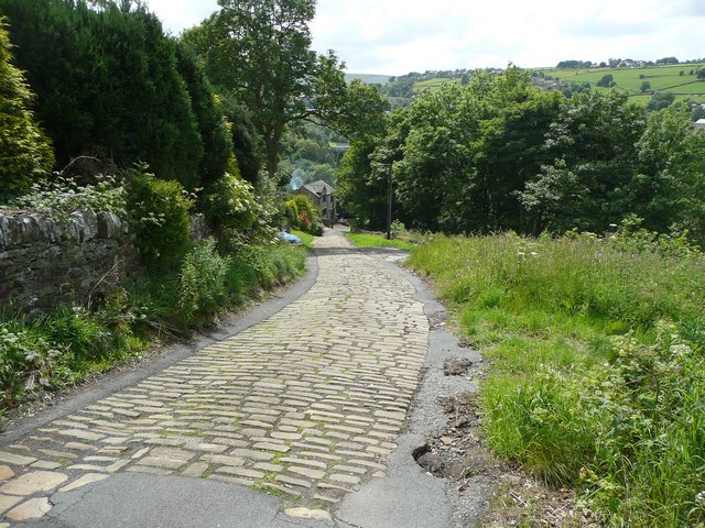
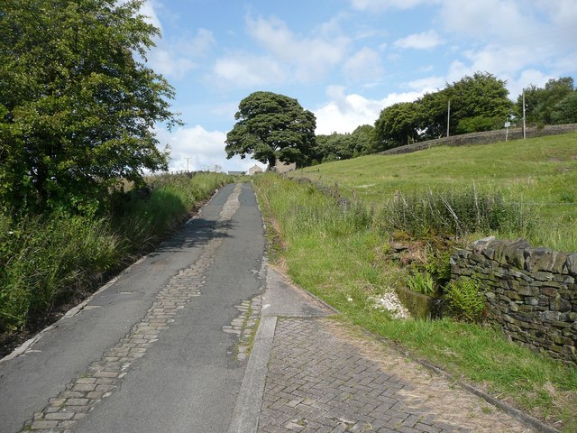
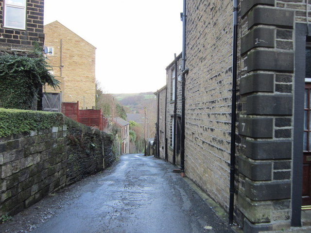
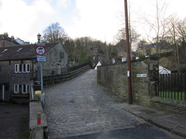
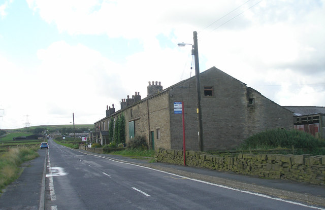
Barkisland Clough is a picturesque valley situated in the county of Yorkshire, England. Nestled in the heart of the Pennines, this hidden gem is located just a few miles southwest of Halifax. The valley is renowned for its natural beauty and tranquil atmosphere, making it a popular destination for nature lovers and hikers.
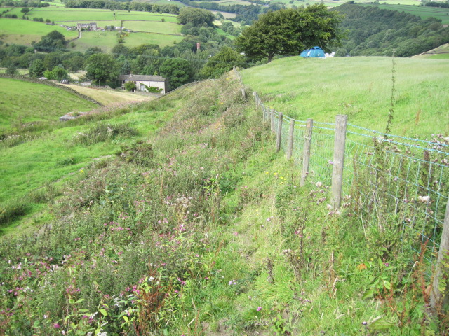
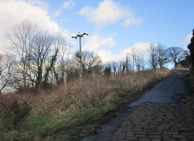
The Clough is characterized by its rolling green hills, dense woodlands, and a meandering stream that flows through the valley, adding to its charm. The area is home to a diverse range of wildlife, including various bird species, small mammals, and insects. Nature enthusiasts can often spot kingfishers, herons, and even otters along the water's edge.
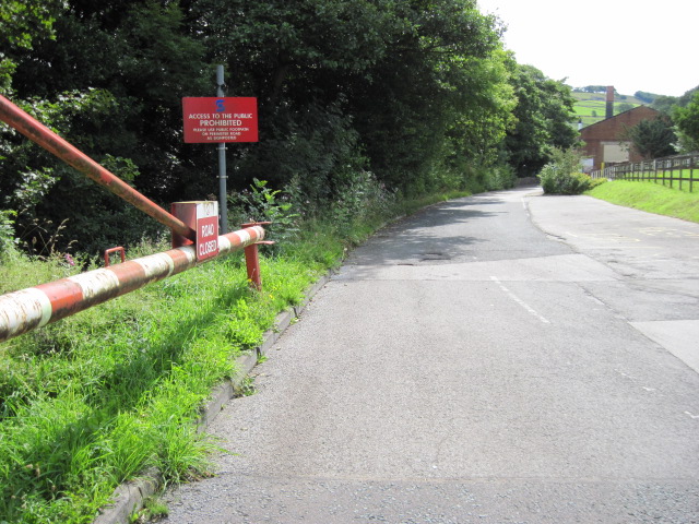
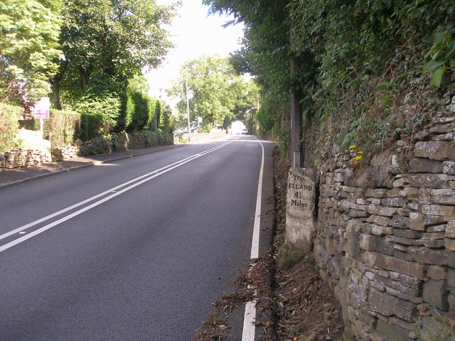
The valley offers a network of well-maintained footpaths, allowing visitors to explore the area at their leisure. Hiking trails offer breathtaking views of the surrounding countryside, with opportunities to discover hidden waterfalls and ancient ruins along the way. The Clough also hosts a number of outdoor events and activities throughout the year, such as guided nature walks and educational workshops for children.
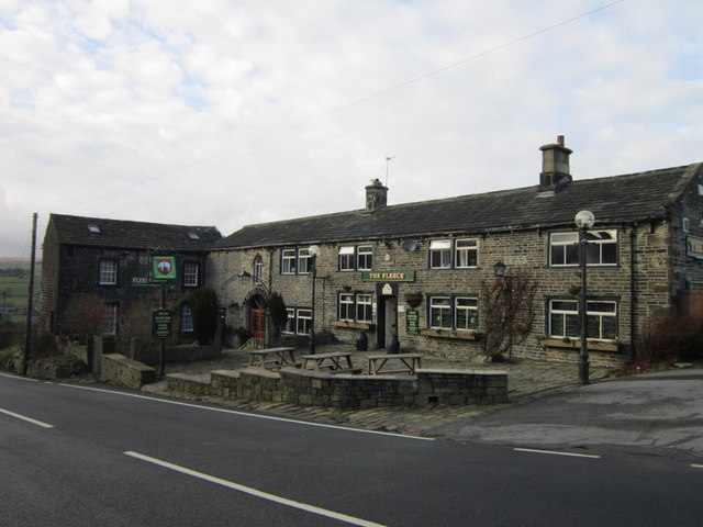
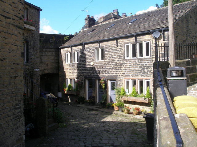
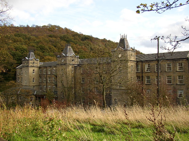
Additionally, Barkisland Clough boasts a rich history, with remnants of its industrial past still visible today. The valley was once home to a thriving textile industry, and remnants of old mills and mill ponds can still be found scattered throughout the landscape.
Overall, Barkisland Clough is a true haven for those seeking a peaceful retreat in the heart of Yorkshire. Its natural beauty, diverse wildlife, and rich history make it a must-visit destination for both locals and tourists alike.
If you have any feedback on the listing, please let us know in the comments section below.
Barkisland Clough Images
Images are sourced within 2km of 53.674332/-1.9125294 or Grid Reference SE0519. Thanks to Geograph Open Source API. All images are credited.
![The Parish Church of St Bartholomew Built 1868 in EE style with spire [Pevsner, 1967]](https://s3.geograph.org.uk/geophotos/02/77/40/2774039_354d1e56.jpg)

Barkisland Clough is located at Grid Ref: SE0519 (Lat: 53.674332, Lng: -1.9125294)
Division: West Riding
Unitary Authority: Calderdale
Police Authority: West Yorkshire
What 3 Words
///dawn.began.sports. Near Barkisland, West Yorkshire
Nearby Locations
Related Wikis
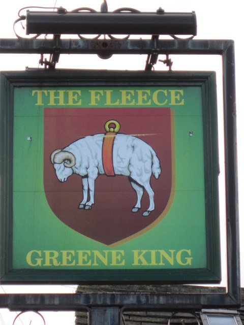
Barkisland
Barkisland () is a village in Calderdale, West Yorkshire, England. Historically part of the West Riding of Yorkshire, it is 1 mile (1.6 km) east of Ripponden...

Ripponden and Barkisland railway station
Ripponden and Barkisland railway station was opened by the Lancashire & Yorkshire Railway on the Rishworth branch in 1878 as Ripponden. Ripponden is in...

Black Brook, West Yorkshire
The Black Brook is a small river in Calderdale, West Yorkshire, England. The Black Brook rises near the border of Calderdale and Kirklees next to Scammonden...
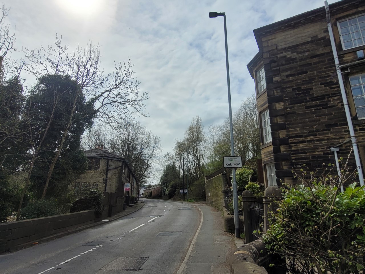
Kebroyd
Kebroyd is a small hamlet in the civil parish of Ripponden, in the Calderdale district, in West Yorkshire, England, within the valley of the River Ryburn...
Nearby Amenities
Located within 500m of 53.674332,-1.9125294Have you been to Barkisland Clough?
Leave your review of Barkisland Clough below (or comments, questions and feedback).