Howroyde

Heritage Site in Yorkshire

England

Howroyde

Royd Lane, Ripponden I suspect that this is the oldest route out of Ripponden towards Rochdale, as it is a continuation of the cobbled Priest Lane, which crosses the old bridge. By the late 18C, as shown on Jeffreys's map of Yorkshire, Elland Road and the new bridge had been built and the 'main road' to Rochdale was up Ripponden Old Lane.
Royd Lane, Ripponden Credit: Humphrey Bolton

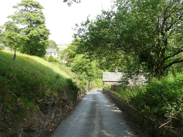
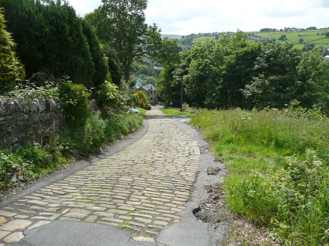
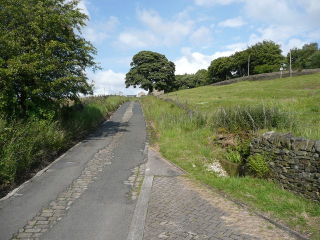
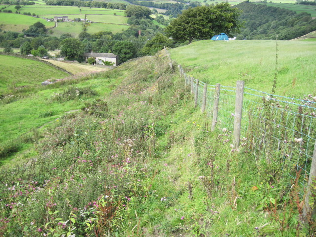
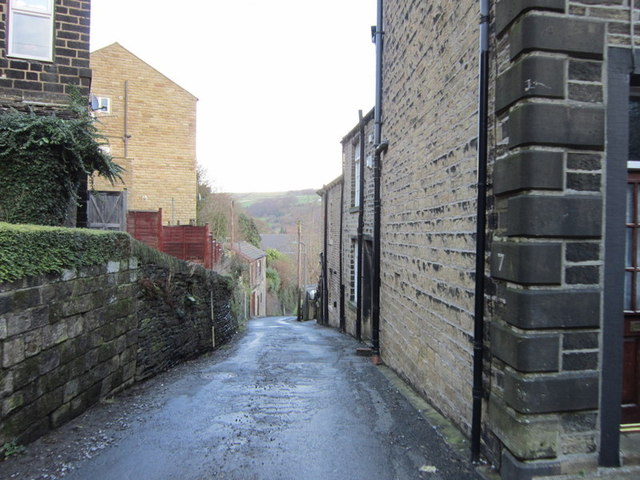
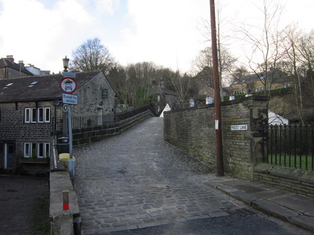
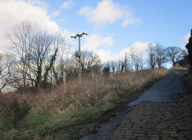
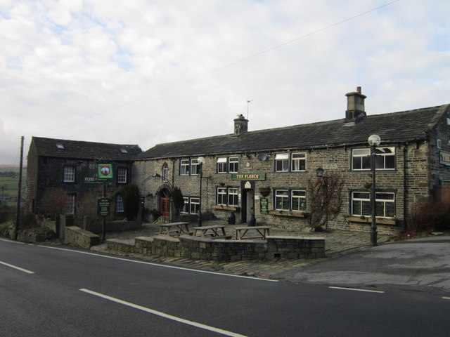
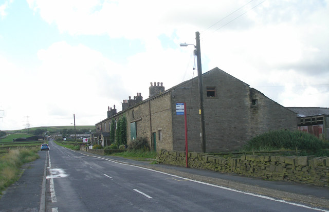
Howroyde is a small village located in the metropolitan borough of Calderdale, West Yorkshire, England. It is a designated heritage site due to its historical significance and architectural charm. The village is situated in the scenic countryside, surrounded by rolling hills and picturesque landscapes.

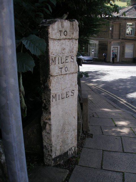
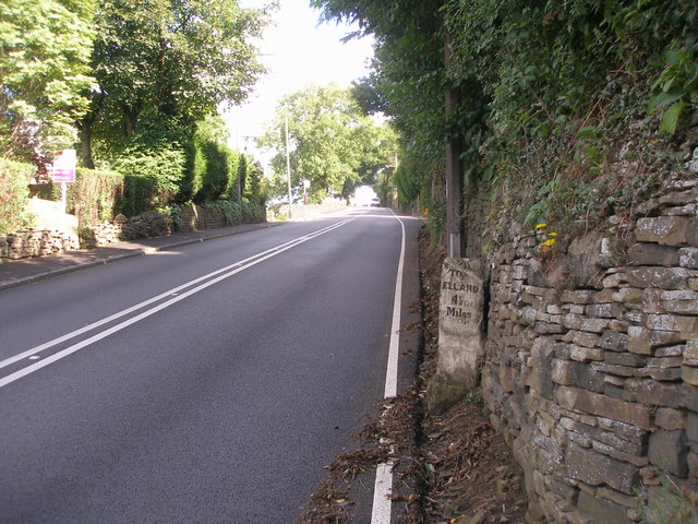
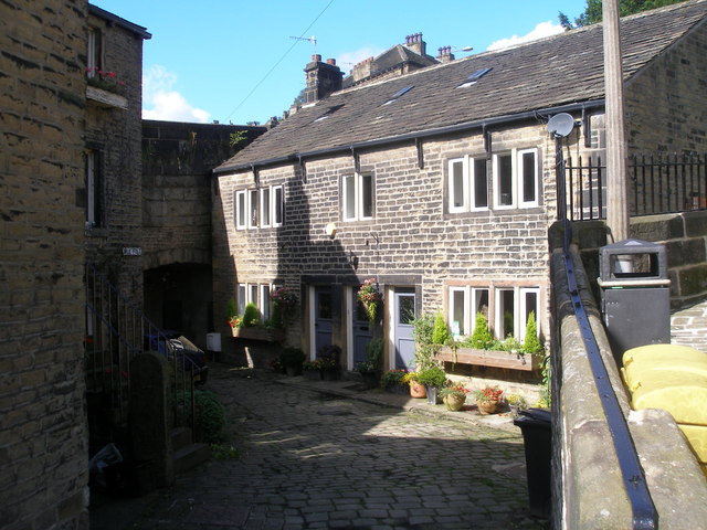
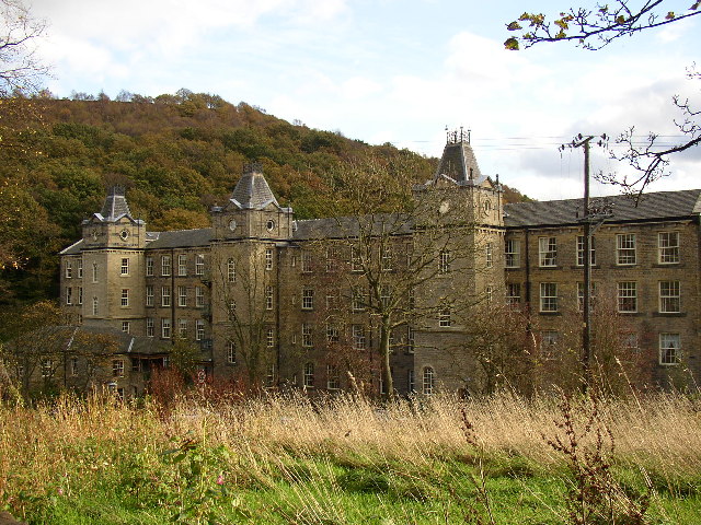
One of the main attractions in Howroyde is its historic buildings. The village is home to several well-preserved 17th and 18th-century houses that showcase the architectural styles of the time. These buildings are made of local stone and feature traditional elements such as exposed beams, mullioned windows, and thatched roofs. Walking through the streets of Howroyde feels like stepping back in time.

In addition to its architectural heritage, Howroyde also has a rich cultural history. The village was once a center for the textile industry, with many mills and factories operating in the area. Although most of these industrial sites have been repurposed or demolished, their existence is still evident in the village's history and character.

Nature enthusiasts will also find plenty to enjoy in Howroyde. The village is surrounded by beautiful countryside, offering opportunities for hiking, cycling, and exploring the outdoors. The nearby moors and woodlands provide habitats for a variety of wildlife, making it a popular destination for birdwatching and nature photography.

Overall, Howroyde is a charming and historically significant village that offers visitors a glimpse into Yorkshire's past. Its well-preserved architecture, cultural heritage, and stunning natural surroundings make it a must-visit destination for history buffs and nature lovers alike.

If you have any feedback on the listing, please let us know in the comments section below.

Howroyde Images

Images are sourced within 2km of 53.672/-1.917 or Grid Reference SE0519. Thanks to Geograph Open Source API. All images are credited.
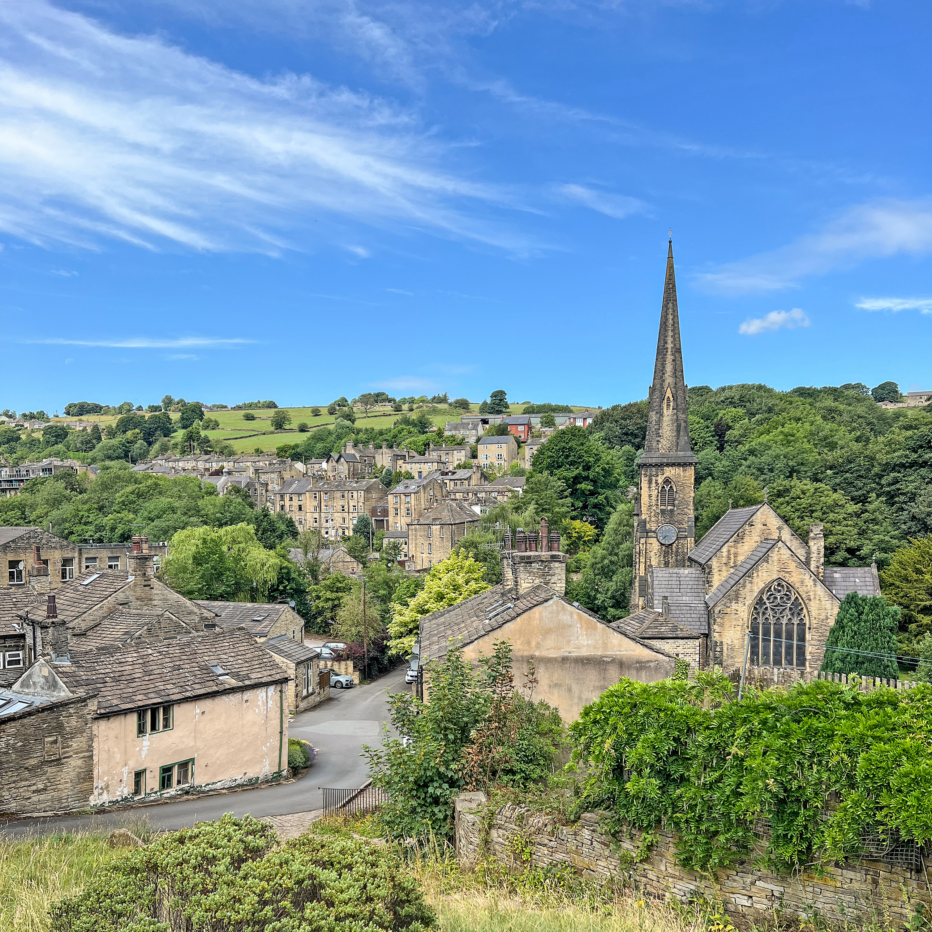
Royd Lane, Ripponden I suspect that this is the oldest route out of Ripponden towards Rochdale, as it is a continuation of the cobbled Priest Lane, which crosses the old bridge. By the late 18C, as shown on Jeffreys's map of Yorkshire, Elland Road and the new bridge had been built and the 'main road' to Rochdale was up Ripponden Old Lane.
Royd Lane, Ripponden
I suspect that this is the oldest route out of Ripponden towards Rochdale, as it is a continuation of the cobbled Priest Lane, which crosses the old bridge. By the late 18C, as shown on Jeffreys's map of Yorkshire, Elland Road and the new bridge had been built and the 'main road' to Rochdale was up Ripponden Old Lane.
Old Bank, Barkisland The old road into Ripponden, part of an important ancient route from Elland to Rochdale. Superseded c. 1772 when the present main road was constructed by a turnpike trust.
Old Bank, Barkisland
The old road into Ripponden, part of an important ancient route from Elland to Rochdale. Superseded c. 1772 when the present main road was constructed by a turnpike trust.
No footpath through Sonoco plant
Hillside towards Stainland Dean
Ripponden Old Road joins Spring Street
Back Lane, Ripponden
Priest Lane, Ripponden
The Parish Church of St Bartholomew Built 1868 in EE style with spire [Pevsner, 1967]
The Parish Church of St Bartholomew
Built 1868 in EE style with spire [Pevsner, 1967]
Climbing up Ripponden Old Bank (road)
The Fleece, Ripponden
Entering Barkisland on Staindale Road
Rivet benchmark on the milestone on Ripponden New Bank
Cut benchmark on the milestone in the centre of Ripponden
Cross Villa and Rishworth Road
Ripponden New Bank
Ripponden New Bank
Mill Fold
Mill Fold
Show me another place!

Howroyde is located at Grid Ref: SE0519 (Lat: 53.672, Lng: -1.917)

Division: West Riding

Unitary Authority: Calderdale

Police Authority: West Yorkshire

What 3 Words

///starfish.tennis.tutorial. Near Barkisland, West Yorkshire

Related Wikis

Barkisland

Barkisland () is a village in Calderdale, West Yorkshire, England. Historically part of the West Riding of Yorkshire, it is 1 mile (1.6 km) east of Ripponden...

Ripponden and Barkisland railway station

Ripponden and Barkisland railway station was opened by the Lancashire & Yorkshire Railway on the Rishworth branch in 1878 as Ripponden. Ripponden is in...

Black Brook, West Yorkshire

The Black Brook is a small river in Calderdale, West Yorkshire, England. The Black Brook rises near the border of Calderdale and Kirklees next to Scammonden...

Ripponden

Ripponden is a village and civil parish on the River Ryburn near Halifax in West Yorkshire, England. Historically it was part of the West Riding of Yorkshire...

Nearby Amenities

Located within 500m of 53.672,-1.917
Scammonden Road
Naptan AtcoCode: 450015861
Naptan Bearing: N
Naptan BusStopType: CUS
Naptan CommonName: Scammonden Road
Naptan Landmark: Unknown
Naptan ShortCommonName: Scammonden Road
Naptan Street: Scammonden Road
Naptan Verified: no
Source: naptan_import
Lat/Long: 53.6681769/-1.9154985
Bus Stop
Barkisland Shelter
Local Ref: 45022925
Naptan AtcoCode: 450022925
Naptan Bearing: W
Naptan CommonName: Barkisland Shelter
Naptan Crossing: Stonelea
Naptan Indicator: Stop 45022925
Naptan Landmark: Primary School
Naptan PlusbusZoneRef: LEEDS
Naptan ShortCommonName: Stonelea
Naptan Street: Stainland Road
Naptan Verified: no
Source: naptan_import
Lat/Long: 53.6760952/-1.9197322
Bus Stop
Scammonden Road Saddleworth Road
Local Ref: 45022932
Naptan AtcoCode: 450022932
Naptan Bearing: S
Naptan CommonName: Scammonden Road Saddleworth Road
Naptan Crossing: Scammonden Road
Naptan Indicator: Stop 45022932
Naptan Landmark: Unknown
Naptan PlusbusZoneRef: LEEDS
Naptan ShortCommonName: Saddleworth Road
Naptan Street: Saddleworth Road
Naptan Verified: no
Source: naptan_import
Lat/Long: 53.6745162/-1.9190886
Bus Stop
Scammonden Road Howroyd Lane
Local Ref: 45022933
Naptan AtcoCode: 450022933
Naptan Bearing: S
Naptan CommonName: Scammonden Road Howroyd Lane
Naptan Crossing: Howroyd Lane
Naptan Indicator: Stop 45022933
Naptan PlusbusZoneRef: LEEDS
Naptan ShortCommonName: Howroyd Lane
Naptan Street: Scammonden Road
Naptan Verified: no
Source: naptan_import
Lat/Long: 53.6721161/-1.9187602
Bus Stop
Clough House Lane Scammonden Road
Local Ref: 45022934
Naptan AtcoCode: 450022934
Naptan Bearing: SE
Naptan CommonName: Clough House Lane Scammonden Road
Naptan Crossing: Clough House Lane
Naptan Indicator: Stop 45022934
Naptan PlusbusZoneRef: LEEDS
Naptan ShortCommonName: Scammonden Road
Naptan Street: Scammonden Road
Naptan Verified: no
Source: naptan_import
Lat/Long: 53.6681588/-1.9152412
Bus Stop
Scammonden Road
Local Ref: 45024203
Naptan AtcoCode: 450024203
Naptan Bearing: N
Naptan CommonName: Scammonden Road
Naptan Crossing: Saddleworth Road
Naptan Indicator: Stop 45024203
Naptan Landmark: Barkisland Cricket Club
Naptan Notes: OSR taken place 081205
Naptan PlusbusZoneRef: LEEDS
Naptan ShortCommonName: Saddleworth Road
Naptan Street: Scammonden Road
Naptan Verified: no
Source: naptan_import
Lat/Long: 53.675101/-1.9198898
Post Box
Ref: HX4 139
Lat/Long: 53.6761326/-1.918049
War Memorial
Historic: memorial
Source: local survey
Lat/Long: 53.6750941/-1.9188545
Ford: yes
Lat/Long: 53.6741112/-1.9118698
Howroyd Hill
Place: locality
Source: OS OD Streetview
Lat/Long: 53.6691519/-1.9222638
Ford: yes
Lat/Long: 53.6706306/-1.911589
The data included in this document is from www.openstreetmap.org. The data is made available under ODbL.

Have you been to Howroyde?

Leave your review of Howroyde below (or comments, questions and feedback).