Slack

Settlement in Yorkshire

England

Slack

Royd Lane, Ripponden I suspect that this is the oldest route out of Ripponden towards Rochdale, as it is a continuation of the cobbled Priest Lane, which crosses the old bridge. By the late 18C, as shown on Jeffreys's map of Yorkshire, Elland Road and the new bridge had been built and the 'main road' to Rochdale was up Ripponden Old Lane.
Royd Lane, Ripponden Credit: Humphrey Bolton

Slack is a small village located in the Craven district of North Yorkshire, England. Situated within the picturesque Yorkshire Dales National Park, it is nestled among rolling hills and scenic landscapes. The village is part of the civil parish of Gargrave and is located just 2 miles north-west of the market town of Skipton.

Slack is a quintessential Yorkshire village, offering a peaceful and rural setting. It is primarily a residential area, characterized by traditional stone-built houses that exude charm and character. The village has a close-knit community, and its residents enjoy a tight bond, fostering a strong sense of belonging.

Despite its small size, Slack has a few notable attractions. One such place is the Slack Lime Kiln, a historic monument that stands as a testament to the village's industrial heritage. The kiln was once used for the production of lime, an essential material in construction, and is now a protected site of historical importance.

Being located within the Yorkshire Dales National Park, Slack offers easy access to stunning natural beauty. The surrounding area is a haven for outdoor enthusiasts, with numerous walking and cycling trails, as well as opportunities for fishing and birdwatching. The nearby River Aire also provides a picturesque spot for leisurely walks and picnics.

While Slack may not have extensive amenities or a bustling town center, its idyllic location and serene atmosphere make it an attractive place for those seeking a peaceful retreat in the heart of the Yorkshire countryside.

If you have any feedback on the listing, please let us know in the comments section below.
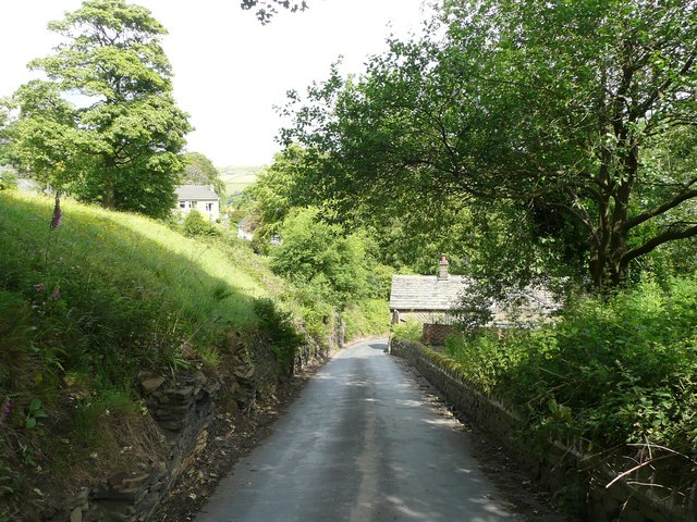
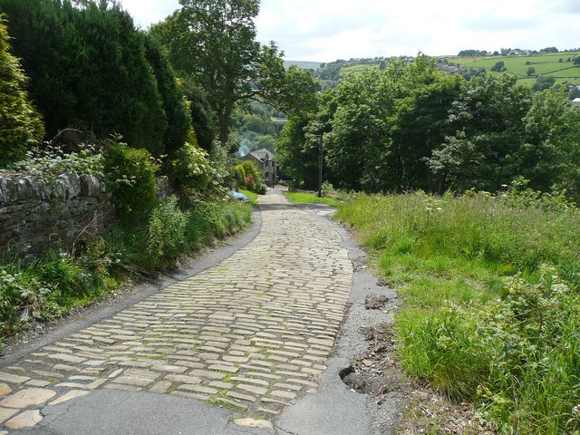
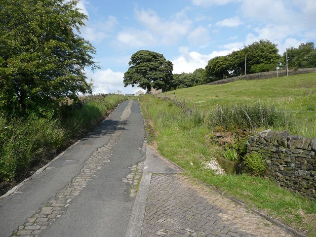
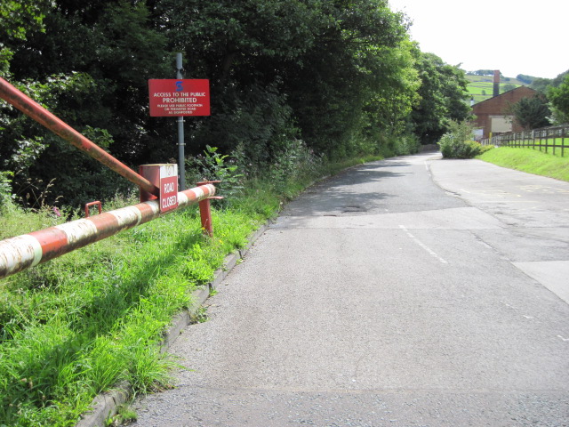
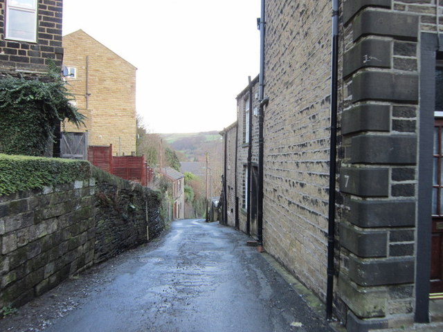
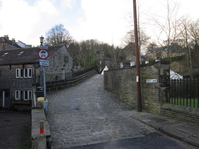
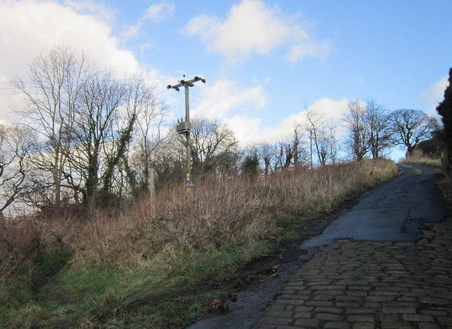
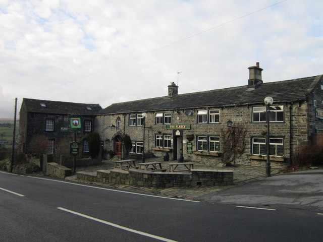
Slack Images

Images are sourced within 2km of 53.669263/-1.9257834 or Grid Reference SE0519. Thanks to Geograph Open Source API. All images are credited.
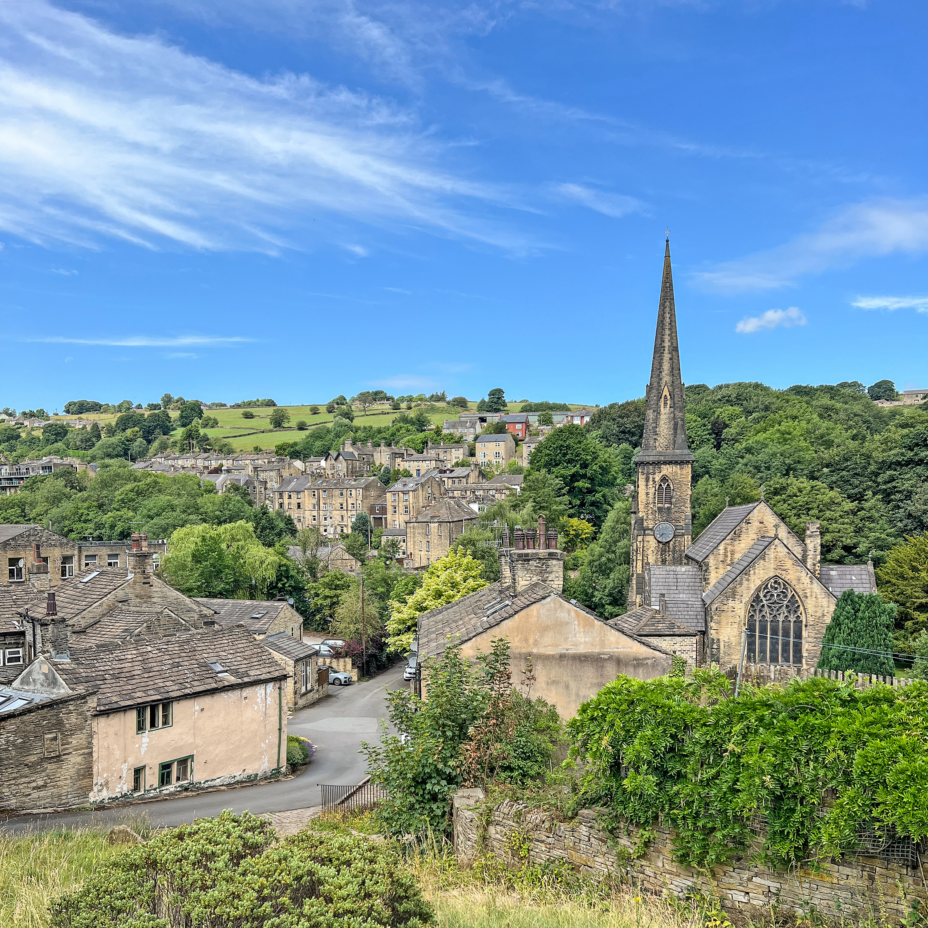
Royd Lane, Ripponden I suspect that this is the oldest route out of Ripponden towards Rochdale, as it is a continuation of the cobbled Priest Lane, which crosses the old bridge. By the late 18C, as shown on Jeffreys's map of Yorkshire, Elland Road and the new bridge had been built and the 'main road' to Rochdale was up Ripponden Old Lane.
Royd Lane, Ripponden
I suspect that this is the oldest route out of Ripponden towards Rochdale, as it is a continuation of the cobbled Priest Lane, which crosses the old bridge. By the late 18C, as shown on Jeffreys's map of Yorkshire, Elland Road and the new bridge had been built and the 'main road' to Rochdale was up Ripponden Old Lane.
Old Bank, Barkisland The old road into Ripponden, part of an important ancient route from Elland to Rochdale. Superseded c. 1772 when the present main road was constructed by a turnpike trust.
Old Bank, Barkisland
The old road into Ripponden, part of an important ancient route from Elland to Rochdale. Superseded c. 1772 when the present main road was constructed by a turnpike trust.
No footpath through Sonoco plant
Ripponden Old Road joins Spring Street
Ripponden Old Road towards Ripponden
Back Lane, Ripponden
Priest Lane, Ripponden
The Parish Church of St Bartholomew Built 1868 in EE style with spire [Pevsner, 1967]
The Parish Church of St Bartholomew
Built 1868 in EE style with spire [Pevsner, 1967]
Climbing up Ripponden Old Bank (road)
The Fleece, Ripponden
Entering Barkisland on Staindale Road
Former Roadside Chapel (Baptist), Rishworth Seen from the side; a wing at the rear has a round-headed window.
Former Roadside Chapel (Baptist), Rishworth
Seen from the side; a wing at the rear has a round-headed window.
Former Roadside Chapel (Baptist), Rishworth The front does not look like a chapel, apart from the gate. The large ventilators on the roof are also unusual for a place of worship, although normal for meeting rooms of the late 19C. The 1893 1:2500 map shows that the two houses on the south side of the chapel were a post office and a Sunday School. On the 1907 map a large Sunday School had been built behind the chapel, which might also have been rebuilt or altered. This map also showed a small burial ground on the north side of the chapel.
Former Roadside Chapel (Baptist), Rishworth
The front does not look like a chapel, apart from the gate. The large ventilators on the roof are also unusual for a place of worship, although normal for meeting rooms of the late 19C. The 1893 1:2500 map shows that the two houses on the south side of the chapel were a post office and a Sunday School. On the 1907 map a large Sunday School had been built behind the chapel, which might also have been rebuilt or altered. This map also showed a small burial ground on the north side of the chapel.
Rishworth War Memorial By the side of the A672 Oldham Road, near the junction with New Road.
Rishworth War Memorial
By the side of the A672 Oldham Road, near the junction with New Road.
Rivet benchmark on the milestone on Ripponden New Bank
Cut benchmark on the milestone in the centre of Ripponden
Show me another place!

Slack is located at Grid Ref: SE0519 (Lat: 53.669263, Lng: -1.9257834)

Division: West Riding

Unitary Authority: Calderdale

Police Authority: West Yorkshire

What 3 Words

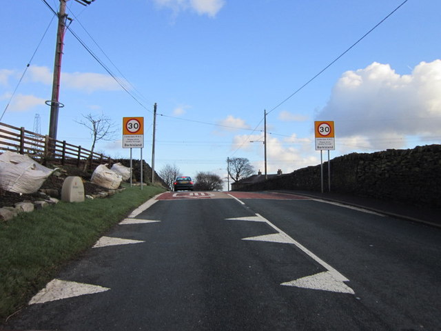
///extensive.vanilla.cycle. Near Barkisland, West Yorkshire

Related Wikis

Ripponden and Barkisland railway station

Ripponden and Barkisland railway station was opened by the Lancashire & Yorkshire Railway on the Rishworth branch in 1878 as Ripponden. Ripponden is in...

Barkisland

Barkisland () is a village in Calderdale, West Yorkshire, England. Historically part of the West Riding of Yorkshire, it is 1 mile (1.6 km) east of Ripponden...

Rishworth railway station

Rishworth railway station was a railway station on the Rishworth branch, built by the Lancashire & Yorkshire Railway, to serve the village of Rishworth...

Ripponden

Ripponden is a village and civil parish on the River Ryburn near Halifax in West Yorkshire, England. Historically it was part of the West Riding of Yorkshire...

Nearby Amenities

Located within 500m of 53.669263,-1.9257834
Design: barrel
Power: tower
Lat/Long: 53.6713353/-1.9248792
Design: barrel
Power: tower
Lat/Long: 53.6685296/-1.926097
Design: barrel
Power: tower
Lat/Long: 53.6671668/-1.9293714
Rishworth Road
Naptan AtcoCode: 450015862
Naptan Bearing: S
Naptan BusStopType: CUS
Naptan CommonName: Rishworth Road
Naptan Landmark: Unknown
Naptan ShortCommonName: Rishworth Road
Naptan Street: Rishworth Road
Naptan Verified: no
Source: naptan_import
Lat/Long: 53.6714735/-1.9257999
Bus Stop
Saddleworth Road
Bench: no
Bin: no
Local Ref: 45022943
Naptan AtcoCode: 450022943
Naptan Bearing: N
Naptan CommonName: Saddleworth Road
Naptan Indicator: Stop 45022943
Naptan PlusbusZoneRef: LEEDS
Naptan ShortCommonName: Footpath
Naptan Street: Saddleworth Road
Naptan Verified: no
Shelter: no
Source: naptan_import
Lat/Long: 53.6657386/-1.925356
Bus Stop
Rishworth Road Fiddle Lane
Local Ref: 45026887
Naptan AtcoCode: 450026887
Naptan Bearing: N
Naptan CommonName: Rishworth Road Fiddle Lane
Naptan Crossing: Fiddle Lane
Naptan Indicator: Stop 45026887
Naptan Landmark: Farm
Naptan PlusbusZoneRef: LEEDS
Naptan ShortCommonName: Fiddle Lane
Naptan Street: Rishworth Road
Naptan Verified: no
Source: naptan_import
Lat/Long: 53.6715276/-1.926042
Saddleworth Road
Naptan AtcoCode: 450028391
Naptan Bearing: S
Naptan BusStopType: CUS
Naptan CommonName: Saddleworth Road
Naptan Landmark: Unknown
Naptan Notes: Dummy stop to cover the BD Status of An22943
Naptan PlusbusZoneRef: LEEDS
Naptan ShortCommonName: Saddleworth Road
Naptan Street: Saddleworth Road
Naptan Verified: no
Source: naptan_import
Lat/Long: 53.6657475/-1.9252046
Slack
Place: hamlet
Source: OS_OpenData_StreetView
Lat/Long: 53.6706524/-1.9266673
Howroyd Hill
Place: locality
Source: OS OD Streetview
Lat/Long: 53.6691519/-1.9222638
The data included in this document is from www.openstreetmap.org. The data is made available under ODbL.

Have you been to Slack?

Leave your review of Slack below (or comments, questions and feedback).