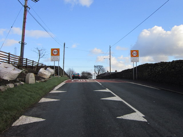
Barkisland

Settlement in Yorkshire

England

Barkisland

Old Bank, Barkisland The old road into Ripponden, part of an important ancient route from Elland to Rochdale. Superseded c. 1772 when the present main road was constructed by a turnpike trust.
Old Bank, Barkisland Credit: Humphrey Bolton

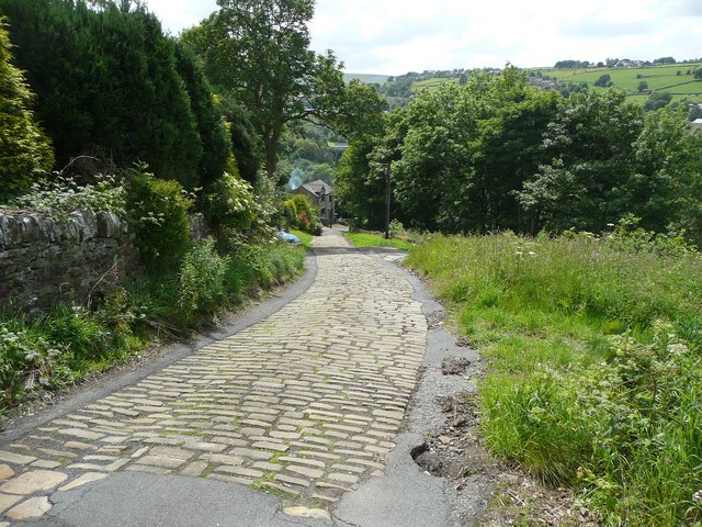
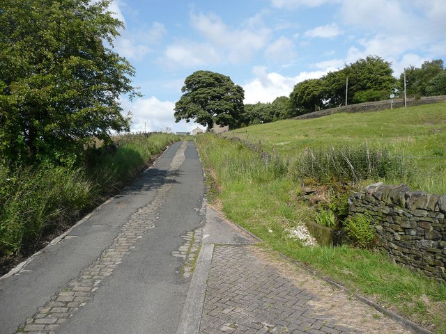
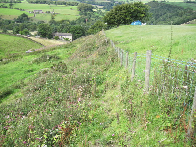
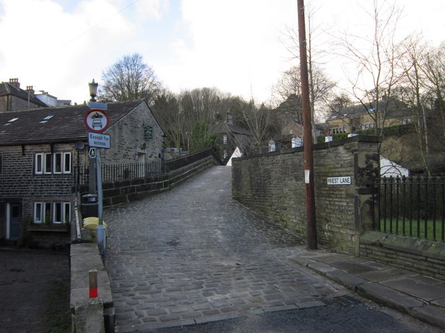
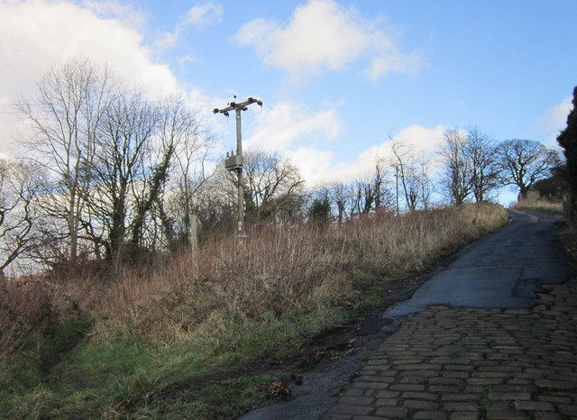
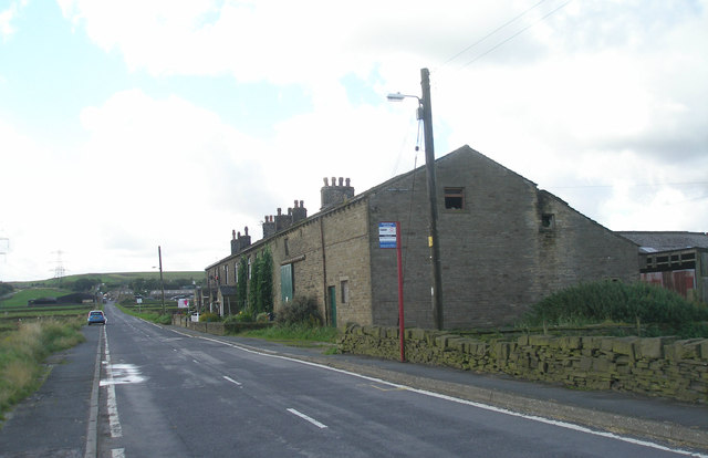
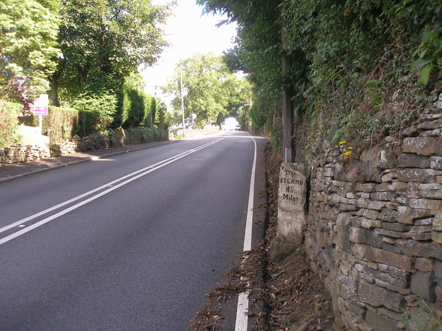
Barkisland is a picturesque village located in the metropolitan borough of Calderdale, West Yorkshire, England. Nestled in the heart of the beautiful Yorkshire countryside, the village is situated approximately 3 miles south of Halifax and 15 miles west of Leeds. It is surrounded by rolling hills, lush green fields, and scenic woodlands, offering residents and visitors a tranquil and idyllic setting.

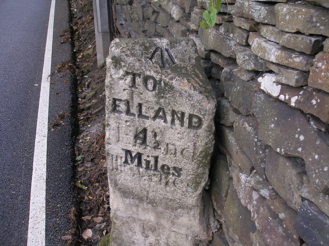
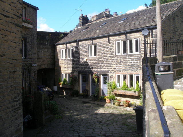
With its origins dating back to the medieval era, Barkisland boasts a rich history that is evident in its architecture and landmarks. The village is home to several centuries-old buildings, including the historic Stainland House, which dates back to the 17th century, and the Church of St. Bartholomew, a Grade I listed building that showcases impressive Norman and Gothic architectural features.

Despite its rural charm, Barkisland is well-connected to nearby towns and cities. The village benefits from excellent transport links, including nearby access to major roads like the A629 and the M62 motorway. This makes it an attractive location for commuters who seek a peaceful retreat away from the bustle of urban life.

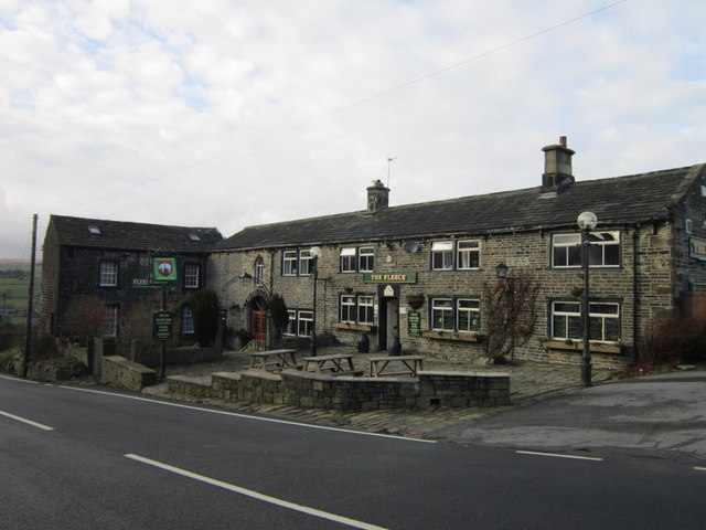
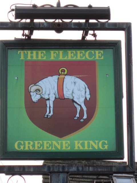
Barkisland also offers a range of amenities to cater to its residents' needs. The village has a local primary school, shops, a village hall, and a pub, The Fleece Inn, which is a popular gathering spot for locals and visitors alike. Additionally, the surrounding natural beauty provides ample opportunities for outdoor activities such as hiking, cycling, and horseback riding.

Overall, Barkisland is a charming and historic village that offers a tranquil and picturesque setting amidst the stunning Yorkshire countryside.

If you have any feedback on the listing, please let us know in the comments section below.

Barkisland Images

Images are sourced within 2km of 53.674633/-1.912168 or Grid Reference SE0519. Thanks to Geograph Open Source API. All images are credited.

Old Bank, Barkisland The old road into Ripponden, part of an important ancient route from Elland to Rochdale. Superseded c. 1772 when the present main road was constructed by a turnpike trust.
Old Bank, Barkisland
The old road into Ripponden, part of an important ancient route from Elland to Rochdale. Superseded c. 1772 when the present main road was constructed by a turnpike trust.
No footpath through Sonoco plant
Hillside towards Stainland Dean
Priest Lane, Ripponden
The Parish Church of St Bartholomew Built 1868 in EE style with spire [Pevsner, 1967]
The Parish Church of St Bartholomew
Built 1868 in EE style with spire [Pevsner, 1967]
Climbing up Ripponden Old Bank (road)
The Fleece, Ripponden
Entering Barkisland on Staindale Road
Rivet benchmark on the milestone on Ripponden New Bank
Cut benchmark on the milestone in the centre of Ripponden
Cross Villa and Rishworth Road
Ripponden New Bank
Ripponden New Bank
Mill Fold
Mill Fold
Ordnance Survey Flush Bracket 845 The remains of this bracket can be found on the wall of the Fleece Inn.
For more detail see : <span class="nowrap"><a title="http://www.bench-marks.org.uk/bm9850" rel="nofollow ugc noopener" href="http://www.bench-marks.org.uk/bm9850">Link</a><img style="margin-left:2px;" alt="External link" title="External link - shift click to open in new window" src="https://s1.geograph.org.uk/img/external.png" width="10" height="10"/></span>
Ordnance Survey Flush Bracket 845
The remains of this bracket can be found on the wall of the Fleece Inn. For more detail see : LinkExternal link
Ordnance Survey Flush Bracket 846 This bracket can be found on the wall of a house in Elland Road.
For more detail see : <span class="nowrap"><a title="http://www.bench-marks.org.uk/bm9851" rel="nofollow ugc noopener" href="http://www.bench-marks.org.uk/bm9851">Link</a><img style="margin-left:2px;" alt="External link" title="External link - shift click to open in new window" src="https://s1.geograph.org.uk/img/external.png" width="10" height="10"/></span>
Ordnance Survey Flush Bracket 846
This bracket can be found on the wall of a house in Elland Road. For more detail see : LinkExternal link
Ordnance Survey Cut Mark This mark can be found on the mile stone in the centre of Ripponden.
For more detail see : <span class="nowrap"><a title="http://www.bench-marks.org.uk/bm45072" rel="nofollow ugc noopener" href="http://www.bench-marks.org.uk/bm45072">Link</a><img style="margin-left:2px;" alt="External link" title="External link - shift click to open in new window" src="https://s1.geograph.org.uk/img/external.png" width="10" height="10"/></span>
Ordnance Survey Cut Mark
This mark can be found on the mile stone in the centre of Ripponden. For more detail see : LinkExternal link
Show me another place!

Barkisland is located at Grid Ref: SE0519 (Lat: 53.674633, Lng: -1.912168)

Division: West Riding

Unitary Authority: Calderdale

Police Authority: West Yorkshire

What 3 Words

///mice.silver.sling. Near Barkisland, West Yorkshire

Related Wikis

Barkisland

Barkisland () is a village in Calderdale, West Yorkshire, England. Historically part of the West Riding of Yorkshire, it is 1 mile (1.6 km) east of Ripponden...

Ripponden and Barkisland railway station

Ripponden and Barkisland railway station was opened by the Lancashire & Yorkshire Railway on the Rishworth branch in 1878 as Ripponden. Ripponden is in...

Black Brook, West Yorkshire

The Black Brook is a small river in Calderdale, West Yorkshire, England. The Black Brook rises near the border of Calderdale and Kirklees next to Scammonden...
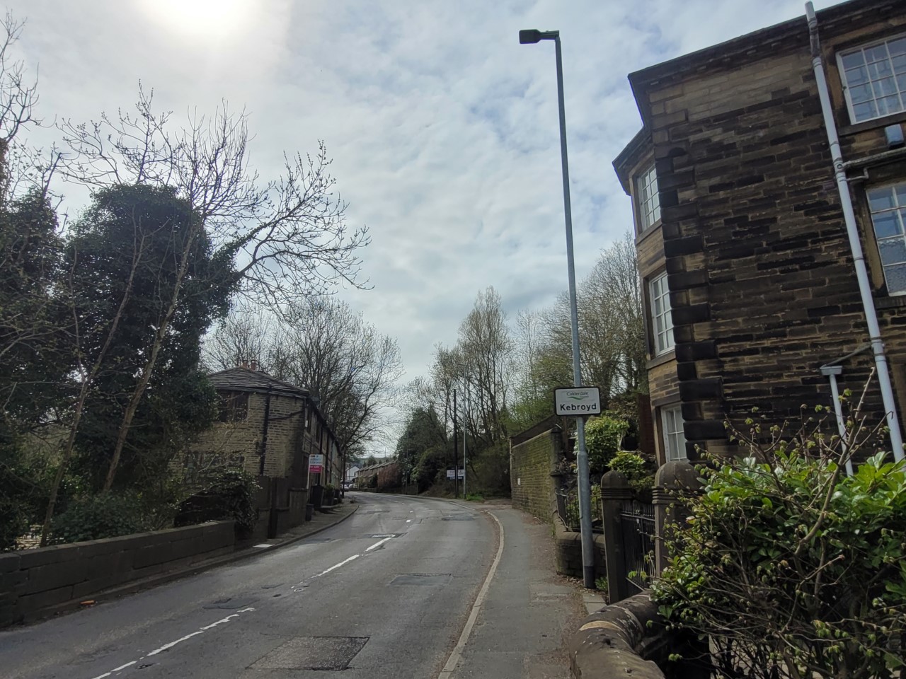
Kebroyd

Kebroyd is a small hamlet in the civil parish of Ripponden, in the Calderdale district, in West Yorkshire, England, within the valley of the River Ryburn...

Nearby Amenities

Located within 500m of 53.674633,-1.912168
Barkisland
Place: village
Wikidata: Q4861069
Lat/Long: 53.6767916/-1.918341
Bus Stop
Scammonden Road Saddleworth Road
Local Ref: 45022932
Naptan AtcoCode: 450022932
Naptan Bearing: S
Naptan CommonName: Scammonden Road Saddleworth Road
Naptan Crossing: Scammonden Road
Naptan Indicator: Stop 45022932
Naptan Landmark: Unknown
Naptan PlusbusZoneRef: LEEDS
Naptan ShortCommonName: Saddleworth Road
Naptan Street: Saddleworth Road
Naptan Verified: no
Source: naptan_import
Lat/Long: 53.6745162/-1.9190886
Bus Stop
Saddleworth Road
Local Ref: 45026378
Naptan AtcoCode: 450026378
Naptan Bearing: SW
Naptan CommonName: Saddleworth Road
Naptan Crossing: East View Cottages
Naptan Indicator: Stop 45026378
Naptan Landmark: East View Cottage
Naptan PlusbusZoneRef: LEEDS
Naptan ShortCommonName: Field Hurst
Naptan Street: Saddleworth Road
Naptan Verified: no
Source: naptan_import
Lat/Long: 53.6784772/-1.9148571
Bus Stop
Saddleworth Road
Local Ref: 45026379
Naptan AtcoCode: 450026379
Naptan Bearing: N
Naptan CommonName: Saddleworth Road
Naptan Crossing: East View Cottages
Naptan Indicator: Stop 45026379
Naptan Landmark: East View Cottages
Naptan PlusbusZoneRef: LEEDS
Naptan ShortCommonName: Field Hurst
Naptan Street: Saddleworth Road
Naptan Verified: no
Source: naptan_import
Lat/Long: 53.6785492/-1.9150538
Post Box
Ref: HX4 139
Lat/Long: 53.6761326/-1.918049
War Memorial
Historic: memorial
Source: local survey
Lat/Long: 53.6750941/-1.9188545
Ford: yes
Lat/Long: 53.6741112/-1.9118698
MS
Source: Survey
Lat/Long: 53.6778493/-1.9154059
Ford: yes
Lat/Long: 53.6706306/-1.911589
Barrier: stile
Material: wood
Stile: stepover
Lat/Long: 53.6779607/-1.9094931
Information: guidepost
Tourism: information
Lat/Long: 53.677926/-1.9095089
The data included in this document is from www.openstreetmap.org. The data is made available under ODbL.

Have you been to Barkisland?

Leave your review of Barkisland below (or comments, questions and feedback).