Barkla Shop

Settlement in Cornwall

England

Barkla Shop

Pasture, Perranzabuloe Fields to the north of Worthy Vale Farm.
Pasture, Perranzabuloe Credit: Andrew Smith

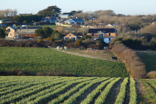
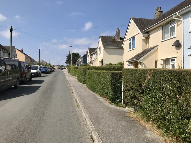
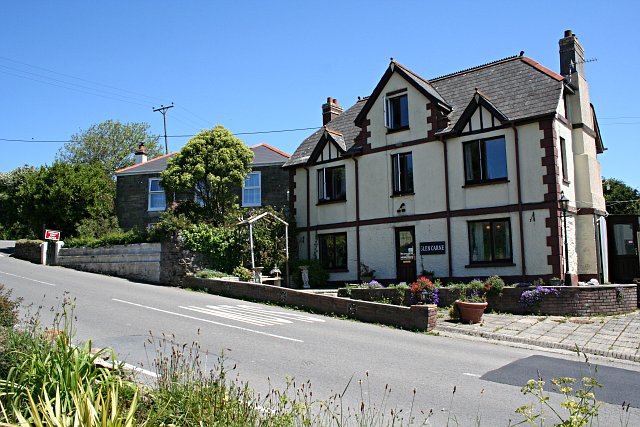
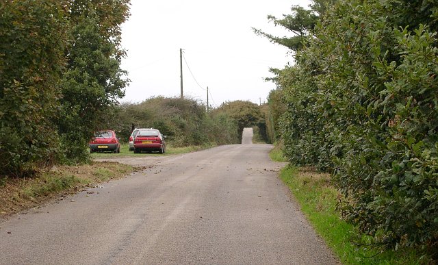
Barkla Shop is a quaint village located in Cornwall, England. Situated on the southeastern coast of the country, Barkla Shop is known for its picturesque charm and tranquil atmosphere. The village is nestled amidst rolling hills and stunning coastal scenery, making it a popular destination for tourists seeking a relaxing escape.

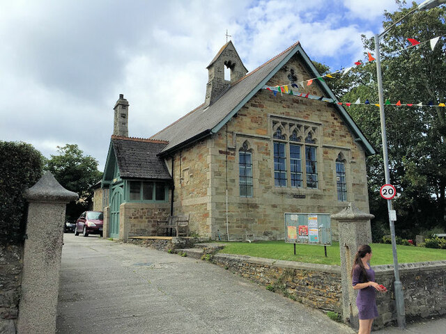
Barkla Shop is home to a small population of around 500 residents, giving it a close-knit community feel. The village is characterized by its traditional stone cottages, which add to its timeless appeal. Visitors can stroll through the narrow lanes, admiring the well-preserved architecture and enjoying the peaceful ambiance.

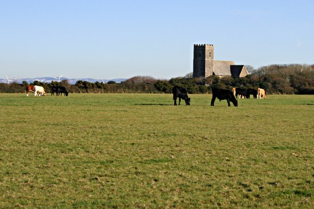
One of the highlights of Barkla Shop is its proximity to the stunning Cornish coastline. The village is just a short distance away from beautiful sandy beaches and rugged cliffs, offering breathtaking views and opportunities for coastal walks. The area is also a haven for wildlife enthusiasts, with a variety of bird species, seals, and dolphins frequently spotted in the surrounding waters.

Despite its small size, Barkla Shop boasts a few amenities for both locals and visitors. The village is home to a charming local pub, where visitors can sample traditional Cornish cuisine and enjoy a pint of local ale. There is also a small convenience store for essential supplies.

In conclusion, Barkla Shop is a delightful village in Cornwall that combines natural beauty with a sense of community. Its idyllic setting and peaceful atmosphere make it a perfect destination for those seeking a tranquil retreat away from the hustle and bustle of city life.

If you have any feedback on the listing, please let us know in the comments section below.

Barkla Shop Images

Images are sourced within 2km of 50.311271/-5.180573 or Grid Reference SW7350. Thanks to Geograph Open Source API. All images are credited.

Pasture, Perranzabuloe Fields to the north of Worthy Vale Farm.
Pasture, Perranzabuloe
Fields to the north of Worthy Vale Farm.
Former Wesleyan Chapel
The Old Sunday School
St Agnes Church
St Agnes Church
Catholic Church of Our Lady
St Agnes' Sunday School
St Agnes Museum and Cemetery
Farmland, St Agnes A crop of daffodils beside the footpath approaching Trevellas from Mithian.
Farmland, St Agnes
A crop of daffodils beside the footpath approaching Trevellas from Mithian.
Footpath through the woods
Hedge alongside the footpath The hedge is a Cornish hedge, which is a stone-faced structure covered with vegetation.
Hedge alongside the footpath
The hedge is a Cornish hedge, which is a stone-faced structure covered with vegetation.
B3284 near Worthy Vale Farm
St Agnes Beach
St Agnes Beach
To the Beach The end of Quay Road, St Agnes.
To the Beach
The end of Quay Road, St Agnes.
Rosemundy House Hotel, St Agnes  Rosemundy House was originally the home of the local tin mine manager and was later used as  a hospital for single mothers and their babies. It was converted into a hotel in 1967 since when, it has been extended. It is a Grade II listed building (list entry number 1141520 <span class="nowrap"><a title="https://historicengland.org.uk/listing/the-list/list-entry/1141520" rel="nofollow ugc noopener" href="https://historicengland.org.uk/listing/the-list/list-entry/1141520">Link</a><img style="margin-left:2px;" alt="External link" title="External link - shift click to open in new window" src="https://s1.geograph.org.uk/img/external.png" width="10" height="10"/></span> Historic England).
Rosemundy House Hotel, St Agnes
Rosemundy House was originally the home of the local tin mine manager and was later used as a hospital for single mothers and their babies. It was converted into a hotel in 1967 since when, it has been extended. It is a Grade II listed building (list entry number 1141520 LinkExternal link Historic England).
The Railway Inn, St Agnes Early nineteenth century public house on Vicarage Road. A Grade II listed building (list entry 1138077 <span class="nowrap"><a title="https://historicengland.org.uk/listing/the-list/list-entry/1138077" rel="nofollow ugc noopener" href="https://historicengland.org.uk/listing/the-list/list-entry/1138077">Link</a><img style="margin-left:2px;" alt="External link" title="External link - shift click to open in new window" src="https://s1.geograph.org.uk/img/external.png" width="10" height="10"/></span> Historic England).
The Railway Inn, St Agnes
Early nineteenth century public house on Vicarage Road. A Grade II listed building (list entry 1138077 LinkExternal link Historic England).
St Agnes, West Kitty
St Agnes, Beaconsfield Place
St Agnes Garden of Rest  Used as the village’s burial ground between 1814 and 1917.
St Agnes Garden of Rest
Used as the village’s burial ground between 1814 and 1917.
Show me another place!

Barkla Shop is located at Grid Ref: SW7350 (Lat: 50.311271, Lng: -5.180573)

Unitary Authority: Cornwall

Police Authority: Devon and Cornwall

What 3 Words

///entitles.frightens.myth. Near St Agnes, Cornwall

Nearby Locations

Barkla Shop Jericho Valley

Related Wikis

Barkla Shop

Barkla Shop is a small hamlet in mid Cornwall, England, United Kingdom half-a-mile east of St Agnes. It is in the civil parish of Perranzabuloe. Barkla...

Mithian

Mithian (Cornish: Mydhyan) is a village in Cornwall, England, United Kingdom. It is about six miles (9.6 km) northeast of Redruth and a mile east of St...

Rose in Vale Country House Hotel

Rose in Vale Country House Hotel, in Mithian, Cornwall, England, UK, is a building of historical significance and is Grade II* listed on the English Heritage...

Mithian Downs

Mithian Downs is an area south of Mithian in west Cornwall, England. == References ==

Nearby Amenities

Located within 500m of 50.311271,-5.180573
Bus Stop
Mithian School
Bench: yes
Naptan AtcoCode: 0800COC30150
Naptan Bearing: N
Naptan CommonName: Mithian School
Naptan NaptanCode: corapgwg
Naptan Street: B3285
Naptan Verified: no
Shelter: yes
Source: naptan_import
Lat/Long: 50.3142876/-5.1773718
Post Box
Brand: Royal Mail
Brand Wikidata: Q638098
Collection Times: Mo-Fr 09:00; Sa 07:00; Su off
Drive Through: no
Operator: Royal Mail
Operator Wikidata: Q638098
Post Box Design: type_n
Post Box Mounting: pier
Post Box Type: lamp
Ref: TR5 125D
Royal Cypher: EIIR
Royal Cypher Wikidata: Q33102113
Source: survey;aerial imagery
Lat/Long: 50.3143558/-5.1773786
Bus Stop
Glen Carne Nursey
Bench: no
Bin: no
Bus: yes
Lit: no
Naptan AtcoCode: 0800COC30153
Naptan Bearing: S
Naptan BusStopType: CUS
Naptan CommonName: Glen Carne Nursey
Naptan Indicator: S-bound
Naptan NaptanCode: corapgwa
Naptan Street: B3285
Naptan Verified: no
Public Transport: platform
Shelter: no
Source: naptan;bing
Tactile Paving: no
Lat/Long: 50.3121862/-5.1773613
Power: pole
Lat/Long: 50.3072894/-5.1789567
Power: pole
Lat/Long: 50.3080063/-5.1789178
Material: wood
Power: pole
Lat/Long: 50.3087806/-5.1757742
The data included in this document is from www.openstreetmap.org. The data is made available under ODbL.

Have you been to Barkla Shop?

Leave your review of Barkla Shop below (or comments, questions and feedback).