Hill House Moor Plantation
Wood, Forest in Yorkshire
England
Hill House Moor Plantation
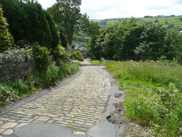
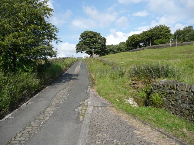
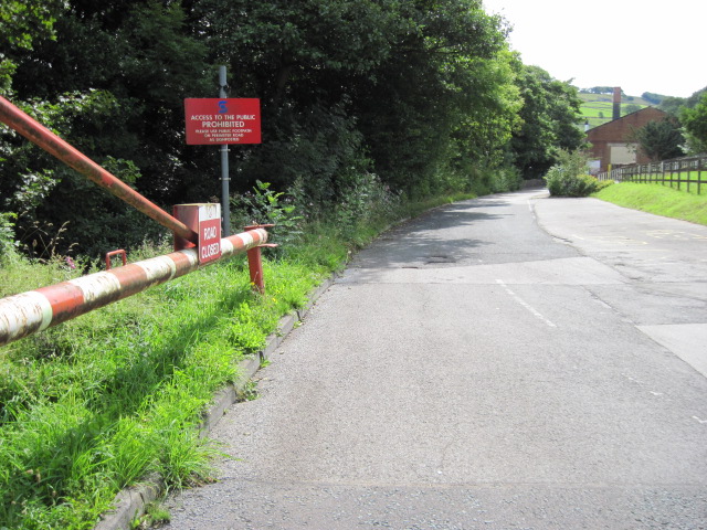
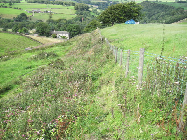
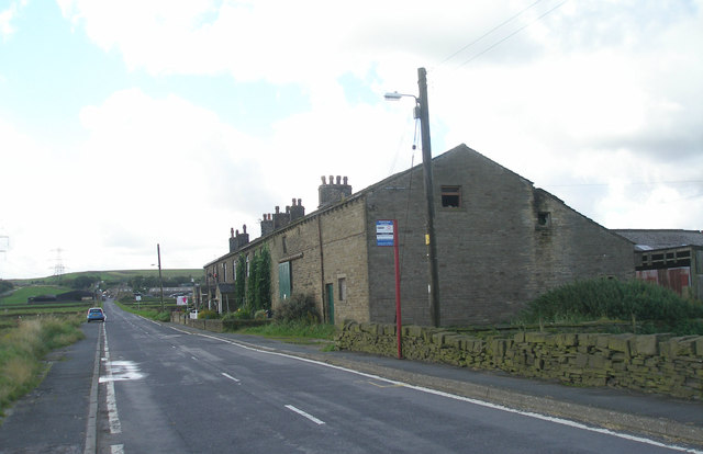
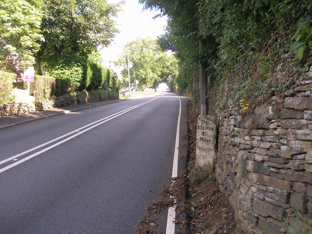
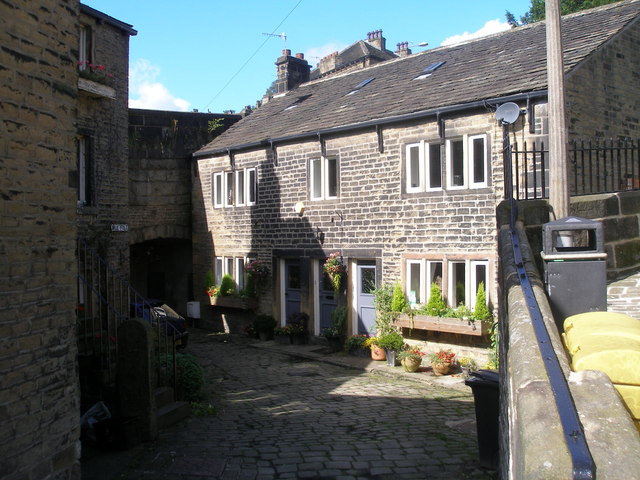
Hill House Moor Plantation is a beautiful woodland area located in Yorkshire, England. Covering approximately 100 acres, this forested area is known for its diverse range of tree species including oak, beech, and pine. The plantation is a popular destination for hikers, nature enthusiasts, and birdwatchers due to its tranquil atmosphere and abundant wildlife.
Visitors to Hill House Moor Plantation can enjoy a network of well-maintained trails that wind through the forest, offering opportunities to explore the natural beauty of the area. The plantation is also home to a variety of wildlife, including deer, squirrels, and a wide range of bird species.
In addition to its natural beauty, Hill House Moor Plantation has historical significance as well. The area has been used for timber production for centuries, and remnants of old logging operations can still be seen throughout the forest.
Overall, Hill House Moor Plantation offers visitors a peaceful escape from the hustle and bustle of everyday life, with its serene atmosphere and stunning natural surroundings.
If you have any feedback on the listing, please let us know in the comments section below.
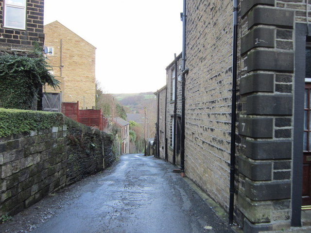
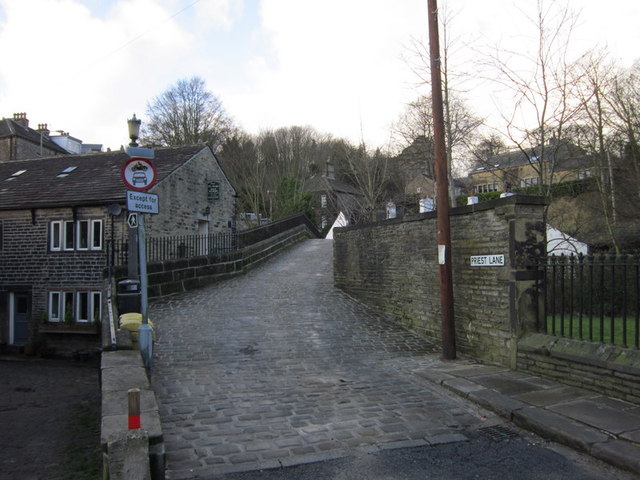
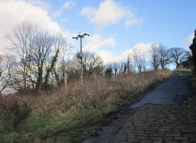
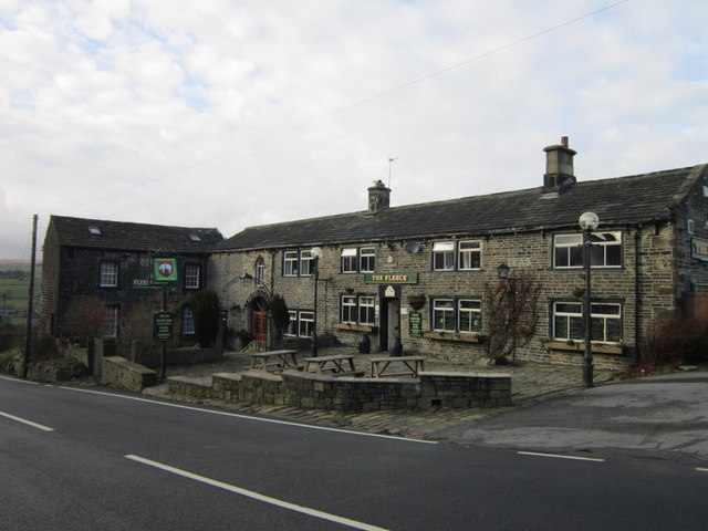
Hill House Moor Plantation Images
Images are sourced within 2km of 53.66772/-1.9163722 or Grid Reference SE0519. Thanks to Geograph Open Source API. All images are credited.

![The Parish Church of St Bartholomew Built 1868 in EE style with spire [Pevsner, 1967]](https://s3.geograph.org.uk/geophotos/02/77/40/2774039_354d1e56.jpg)
Hill House Moor Plantation is located at Grid Ref: SE0519 (Lat: 53.66772, Lng: -1.9163722)
Division: West Riding
Unitary Authority: Calderdale
Police Authority: West Yorkshire
What 3 Words
///trendy.spike.backed. Near Barkisland, West Yorkshire
Nearby Locations
Related Wikis
Barkisland
Barkisland () is a village in Calderdale, West Yorkshire, England. Historically part of the West Riding of Yorkshire, it is 1 mile (1.6 km) east of Ripponden...

Black Brook, West Yorkshire
The Black Brook is a small river in Calderdale, West Yorkshire, England. The Black Brook rises near the border of Calderdale and Kirklees next to Scammonden...

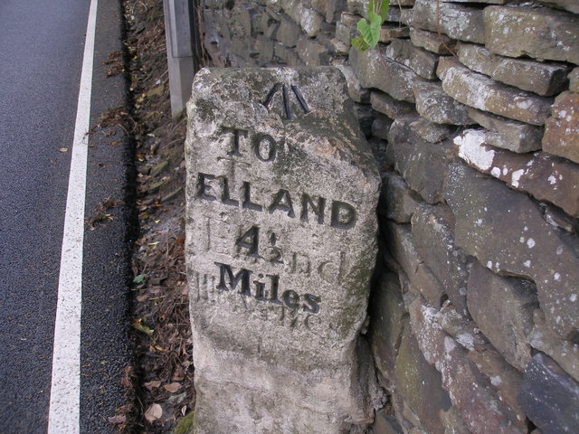
Ripponden and Barkisland railway station
Ripponden and Barkisland railway station was opened by the Lancashire & Yorkshire Railway on the Rishworth branch in 1878 as Ripponden. Ripponden is in...

Rishworth railway station
Rishworth railway station was a railway station on the Rishworth branch, built by the Lancashire & Yorkshire Railway, to serve the village of Rishworth...
Nearby Amenities
Located within 500m of 53.66772,-1.9163722Have you been to Hill House Moor Plantation?
Leave your review of Hill House Moor Plantation below (or comments, questions and feedback).