Shropshire Covert
Wood, Forest in Staffordshire Lichfield
England
Shropshire Covert
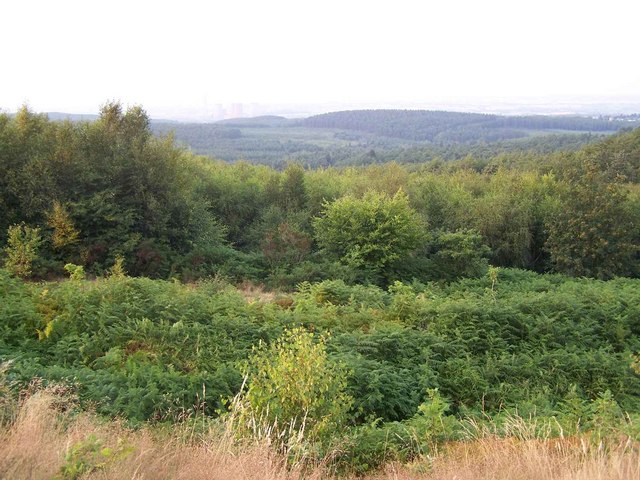
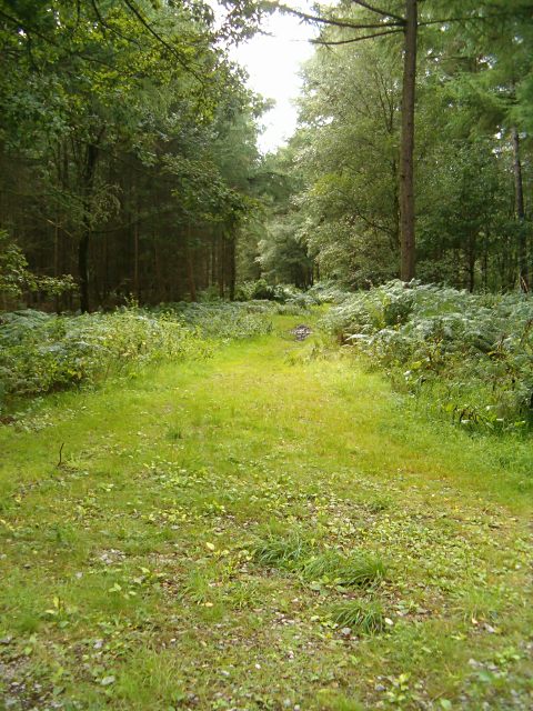
Shropshire Covert, located in Staffordshire, England, is a serene woodland area known for its natural beauty and rich biodiversity. Spanning approximately 100 acres, this enchanting forest is a popular destination for nature enthusiasts and outdoor lovers alike.
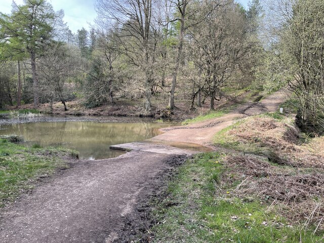
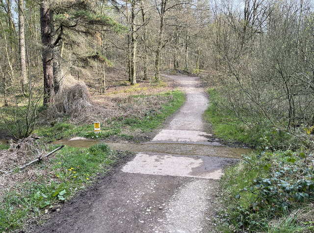
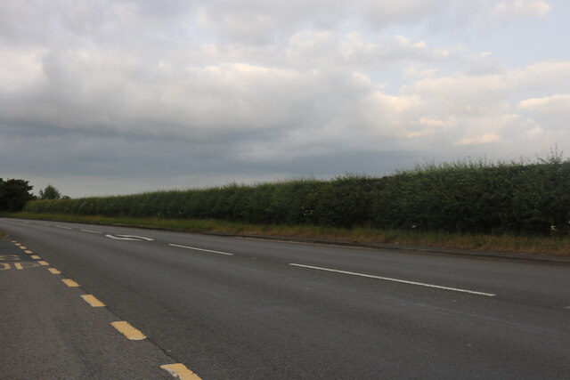
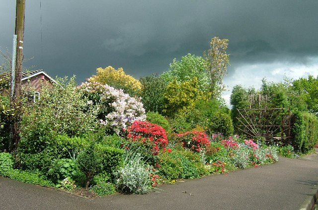
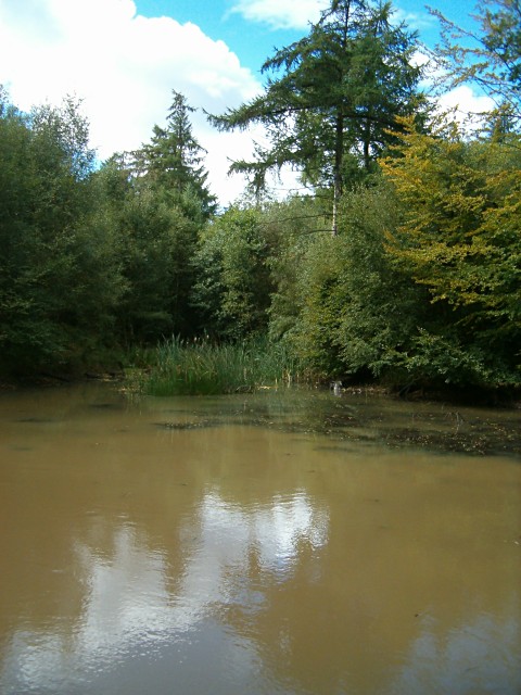
The woodland is characterized by an array of tree species, including oak, beech, birch, and pine, which create a dense canopy and provide a habitat for various wildlife. The forest floor is adorned with a carpet of wildflowers and ferns, adding to the picturesque scene.
Shropshire Covert is home to a diverse range of wildlife, including deer, foxes, badgers, and rabbits. Birdwatchers can spot a variety of avian species, such as woodpeckers, owls, and warblers, as they flit among the branches.
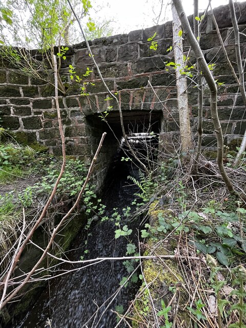
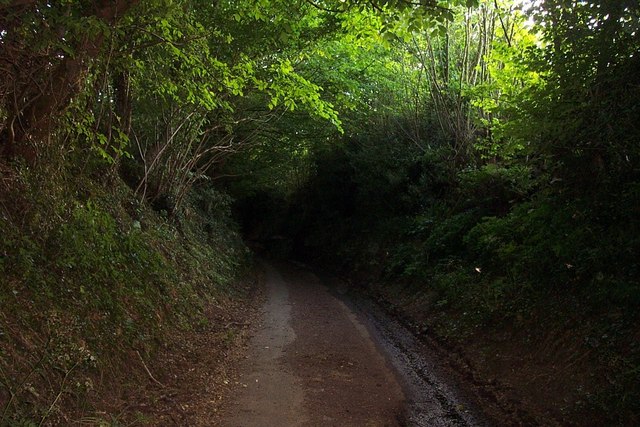
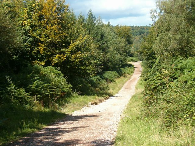
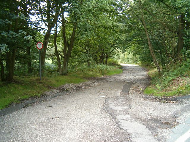
The forest offers a network of walking trails, allowing visitors to explore the area at their own pace. These paths wind through the woodlands, offering opportunities to discover hidden glades, babbling brooks, and peaceful picnic spots. The tranquility and seclusion of Shropshire Covert make it an ideal place for nature walks, birdwatching, and photography.
Managed by local conservation organizations, Shropshire Covert is dedicated to preserving the natural habitat and promoting environmental awareness. Conservation efforts include tree planting initiatives, maintenance of footpaths, and the protection of wildlife habitats.
Overall, Shropshire Covert in Staffordshire is a haven for nature enthusiasts seeking solace amidst the beauty of the British countryside. With its diverse flora and fauna, tranquil atmosphere, and well-maintained trails, it offers an immersive and unforgettable experience for visitors of all ages.
If you have any feedback on the listing, please let us know in the comments section below.
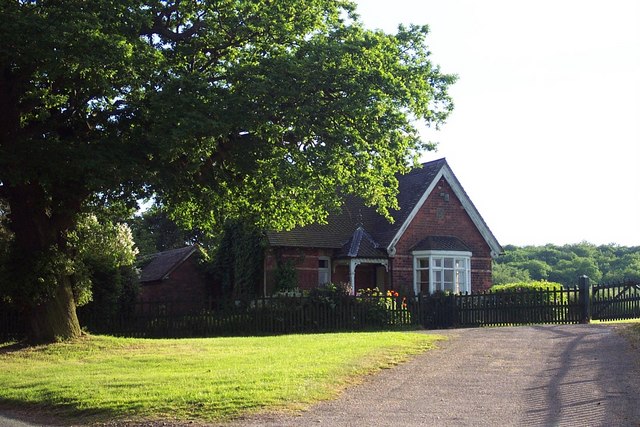
Shropshire Covert Images
Images are sourced within 2km of 52.725751/-1.9182835 or Grid Reference SK0514. Thanks to Geograph Open Source API. All images are credited.


Shropshire Covert is located at Grid Ref: SK0514 (Lat: 52.725751, Lng: -1.9182835)
Administrative County: Staffordshire
District: Lichfield
Police Authority: Staffordshire
What 3 Words
///roofed.craftsman.craftsman. Near Armitage, Staffordshire
Nearby Locations
Related Wikis

Upper Longdon
Upper Longdon is a village within the civil parish of Longdon and is in the District of Lichfield of the English county of Staffordshire. == Location... ==

Beaudesert, Cannock Chase
Beaudesert was an estate and stately home on the southern edge of Cannock Chase in Staffordshire. It was one of the family seats of the Paget family, the...

George's Hayes
George's Hayes is a nature reserve of the Staffordshire Wildlife Trust. It is an ancient woodland, about a mile south-west of the village of Longdon, between...

Castle Ring
Castle Ring is an Iron Age hill fort, situated high up on the southern edge of Cannock Chase (The Chase), Staffordshire, England. It is the highest point...
Cannock Wood
Cannock Wood is a village and civil parish in the Cannock Chase district of Staffordshire, England. The village is situated around 4 miles (6.4 km) east...
Brereton, Staffordshire
Brereton is a village and former civil parish, now in the parish of Brereton and Ravenhill, in the Cannock Chase district, in the county of Staffordshire...

Hawkesyard Priory
Hawkesyard Priory was a Dominican priory off Armitage Lane Brereton, Rugeley, Staffordshire, England, built between 1896 and 1914 which included the Roman...
Longdon, Staffordshire
Longdon is a village and civil parish in the District of Lichfield, Staffordshire, England. == Location == The village is situated midway between the town...
Nearby Amenities
Located within 500m of 52.725751,-1.9182835Have you been to Shropshire Covert?
Leave your review of Shropshire Covert below (or comments, questions and feedback).