Cowpasture Covert
Wood, Forest in Staffordshire Lichfield
England
Cowpasture Covert

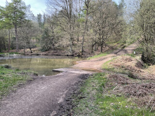
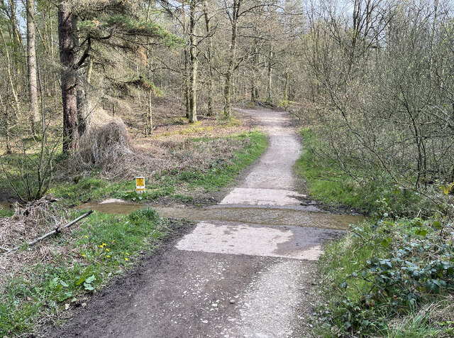
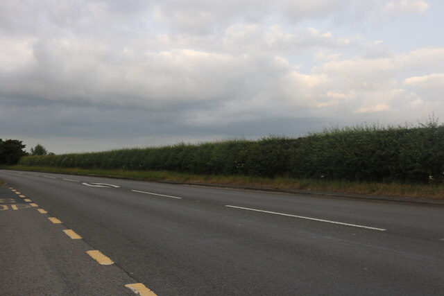
Cowpasture Covert is a woodland area located in Staffordshire, England. Stretching over approximately 200 acres, it is nestled within the picturesque countryside of the county. The covert is part of a larger network of woodlands known as the Staffordshire Woodlands, which are managed by the Staffordshire Wildlife Trust.
The woodland is predominantly made up of native broadleaf trees, including oak, birch, and beech, creating a diverse and vibrant ecosystem. The dense canopy provides a habitat for a variety of wildlife, including birds such as woodpeckers, owls, and warblers, as well as mammals like deer, foxes, and badgers. The woodland floor is adorned with a carpet of wildflowers and ferns, adding to the natural beauty of the area.
Cowpasture Covert is a popular destination for nature enthusiasts and outdoor enthusiasts alike. The woodland offers a range of walking trails, allowing visitors to explore its natural wonders at their own pace. There are also designated picnic areas, where visitors can enjoy a leisurely lunch surrounded by the tranquility of the woods.
In addition to its recreational value, Cowpasture Covert plays an important role in biodiversity conservation. The Staffordshire Wildlife Trust actively manages the woodland, implementing measures to protect and enhance its natural habitat. This includes tree planting initiatives, invasive species control, and the creation of wildlife corridors to promote connectivity between different areas of the woodland.
Overall, Cowpasture Covert is a cherished natural gem in Staffordshire, providing a peaceful haven for both wildlife and visitors to enjoy and appreciate.
If you have any feedback on the listing, please let us know in the comments section below.
Cowpasture Covert Images
Images are sourced within 2km of 52.729986/-1.9202599 or Grid Reference SK0514. Thanks to Geograph Open Source API. All images are credited.


Cowpasture Covert is located at Grid Ref: SK0514 (Lat: 52.729986, Lng: -1.9202599)
Administrative County: Staffordshire
District: Lichfield
Police Authority: Staffordshire
What 3 Words
///serious.jumps.defectors. Near Armitage, Staffordshire
Nearby Locations
Related Wikis

Upper Longdon
Upper Longdon is a village within the civil parish of Longdon and is in the District of Lichfield of the English county of Staffordshire. == Location... ==

Beaudesert, Cannock Chase
Beaudesert was an estate and stately home on the southern edge of Cannock Chase in Staffordshire. It was one of the family seats of the Paget family, the...

George's Hayes
George's Hayes is a nature reserve of the Staffordshire Wildlife Trust. It is an ancient woodland, about a mile south-west of the village of Longdon, between...
Brereton, Staffordshire
Brereton is a village and former civil parish, now in the parish of Brereton and Ravenhill, in the Cannock Chase district, in the county of Staffordshire...

Hawkesyard Priory
Hawkesyard Priory was a Dominican priory off Armitage Lane Brereton, Rugeley, Staffordshire, England, built between 1896 and 1914 which included the Roman...

Armitage Park
Armitage Park (which has reverted to an earlier name of Hawkesyard Hall) is a 19th-century Grade II listed country house at Armitage near Rugeley, Staffordshire...

Castle Ring
Castle Ring is an Iron Age hill fort, situated high up on the southern edge of Cannock Chase (The Chase), Staffordshire, England. It is the highest point...
Longdon, Staffordshire
Longdon is a village and civil parish in the District of Lichfield, Staffordshire, England. == Location == The village is situated midway between the town...
Nearby Amenities
Located within 500m of 52.729986,-1.9202599Have you been to Cowpasture Covert?
Leave your review of Cowpasture Covert below (or comments, questions and feedback).