Dump's Covert
Wood, Forest in Staffordshire Lichfield
England
Dump's Covert
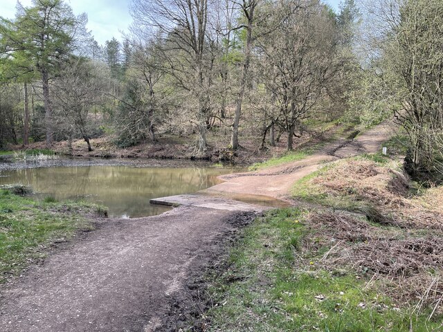
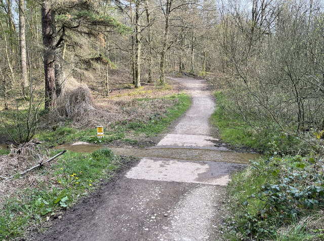
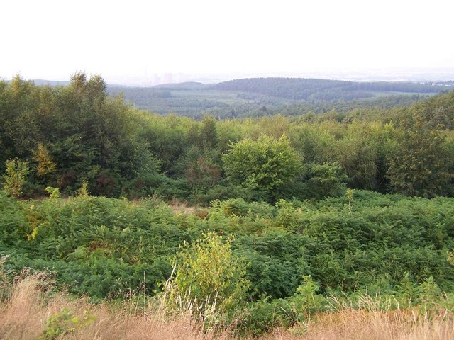
Dump's Covert is a picturesque woodland area located in Staffordshire, England. Situated near the village of Covert, this tranquil forest is known for its natural beauty and diverse ecosystem. Spanning approximately 200 acres, Dump's Covert is a popular destination for nature enthusiasts and outdoor enthusiasts alike.
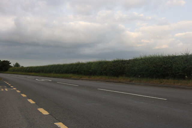
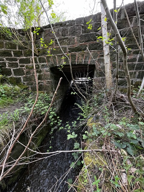
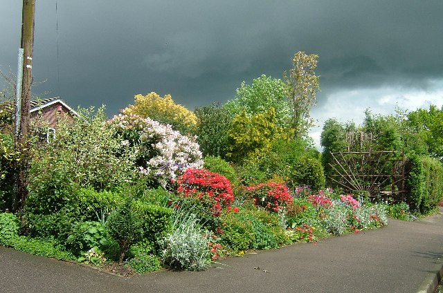
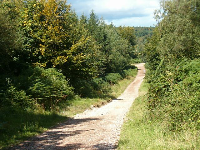
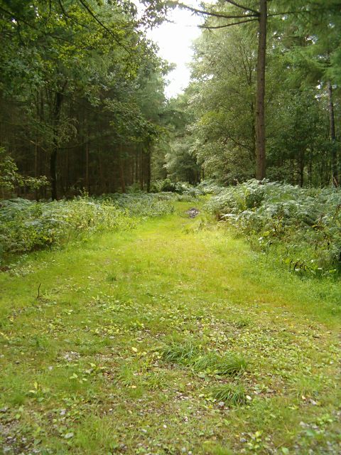
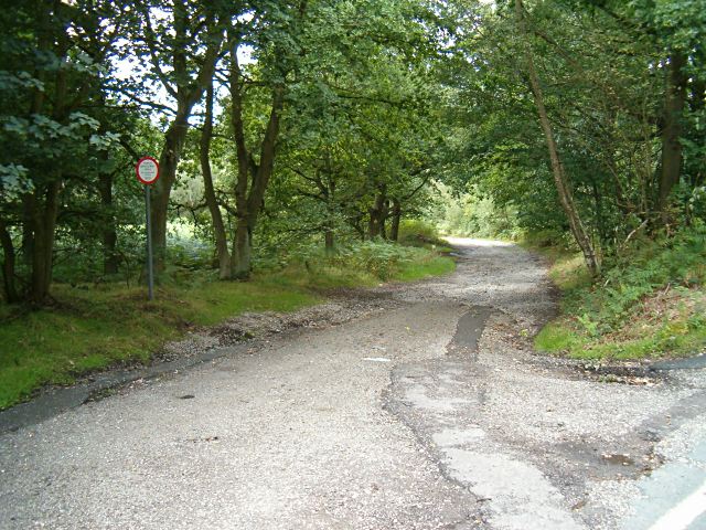
The woodland is characterized by a variety of tree species, including oak, ash, birch, and beech, which create a dense and verdant canopy overhead. The forest floor is covered in a lush carpet of mosses, ferns, and wildflowers, adding to the area's enchanting atmosphere. Numerous winding trails crisscross the woodland, offering visitors the opportunity to explore its hidden corners and discover its many hidden treasures.
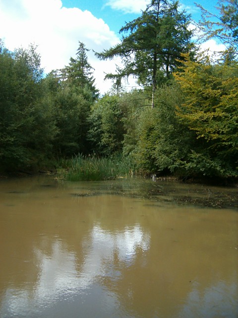
Dump's Covert is home to a rich array of wildlife, making it a haven for nature lovers and wildlife photographers. Deer, foxes, badgers, and squirrels are frequently spotted among the trees, while a diverse range of bird species, including woodpeckers, owls, and songbirds, can be heard singing their melodious tunes.
The woodland is well-maintained, with efforts to preserve its natural beauty and protect the wildlife that calls it home. Visitors are encouraged to respect the environment and adhere to designated paths to minimize any disruption to the delicate ecosystem.
Whether you are seeking a peaceful retreat in nature, a scenic hike, or an opportunity to observe wildlife, Dump's Covert offers a serene and captivating experience. Its idyllic setting, abundant wildlife, and well-maintained trails make it a must-visit destination for those looking to immerse themselves in the beauty of Staffordshire's woodlands.
If you have any feedback on the listing, please let us know in the comments section below.
Dump's Covert Images
Images are sourced within 2km of 52.728918/-1.9230901 or Grid Reference SK0514. Thanks to Geograph Open Source API. All images are credited.


Dump's Covert is located at Grid Ref: SK0514 (Lat: 52.728918, Lng: -1.9230901)
Administrative County: Staffordshire
District: Lichfield
Police Authority: Staffordshire
What 3 Words
///torn.highlighted.scoping. Near Armitage, Staffordshire
Nearby Locations
Related Wikis

Upper Longdon
Upper Longdon is a village within the civil parish of Longdon and is in the District of Lichfield of the English county of Staffordshire. == Location... ==

Beaudesert, Cannock Chase
Beaudesert was an estate and stately home on the southern edge of Cannock Chase in Staffordshire. It was one of the family seats of the Paget family, the...

George's Hayes
George's Hayes is a nature reserve of the Staffordshire Wildlife Trust. It is an ancient woodland, about a mile south-west of the village of Longdon, between...
Brereton, Staffordshire
Brereton is a village and former civil parish, now in the parish of Brereton and Ravenhill, in the Cannock Chase district, in the county of Staffordshire...

Castle Ring
Castle Ring is an Iron Age hill fort, situated high up on the southern edge of Cannock Chase (The Chase), Staffordshire, England. It is the highest point...

Hawkesyard Priory
Hawkesyard Priory was a Dominican priory off Armitage Lane Brereton, Rugeley, Staffordshire, England, built between 1896 and 1914 which included the Roman...

Armitage Park
Armitage Park (which has reverted to an earlier name of Hawkesyard Hall) is a 19th-century Grade II listed country house at Armitage near Rugeley, Staffordshire...
Cannock Wood
Cannock Wood is a village and civil parish in the Cannock Chase district of Staffordshire, England. The village is situated around 4 miles (6.4 km) east...
Nearby Amenities
Located within 500m of 52.728918,-1.9230901Have you been to Dump's Covert?
Leave your review of Dump's Covert below (or comments, questions and feedback).